The best walks and hikes around Franchevelle
4.4
(457)
2,464
hikers
122
hikes
Hiking around Franchevelle offers access to the diverse natural landscapes of the Haute-Saône department in eastern France. The region features varied terrain, including the unique glacial landscape of the Plateau des 1000 Étangs, characterized by numerous ponds and wetlands. Extensive forested areas, such as the Forest of La Vaivre, provide numerous trails, and the area is traversed by rivers like the Lanterne, offering opportunities for walks along their banks. The northern parts of Haute-Saône also border the foothills of the…
Last updated: July 4, 2026
4.5
(24)
75
hikers
9.68km
02:33
80m
80m
Moderate hike. Good fitness required. Easily-accessible paths. Suitable for all skill levels.
4.6
(12)
60
hikers
Easy hike. Great for any fitness level. Easily-accessible paths. Suitable for all skill levels.

Sign up for free
4.8
(5)
72
hikers
13.2km
03:33
170m
170m
Moderate hike. Good fitness required. Easily-accessible paths. Suitable for all skill levels.
4.8
(8)
48
hikers
8.18km
02:05
20m
20m
Moderate hike. Good fitness required. Easily-accessible paths. Suitable for all skill levels.
4.8
(10)
49
hikers
Easy hike. Great for any fitness level. Easily-accessible paths. Suitable for all skill levels.
Get access to more routes and recommendations from other explorers.
Sign up for free
Already have an account?
Our route recommendations are based on thousands of hikes, rides, and runs completed by other people on komoot.
Start today with a free account
Your next adventure awaits.
Login or Signup


Tips from the Community

Here you walk on an easy path, among the trees. Enjoy nature and fill your lungs with fresh air!
2
0
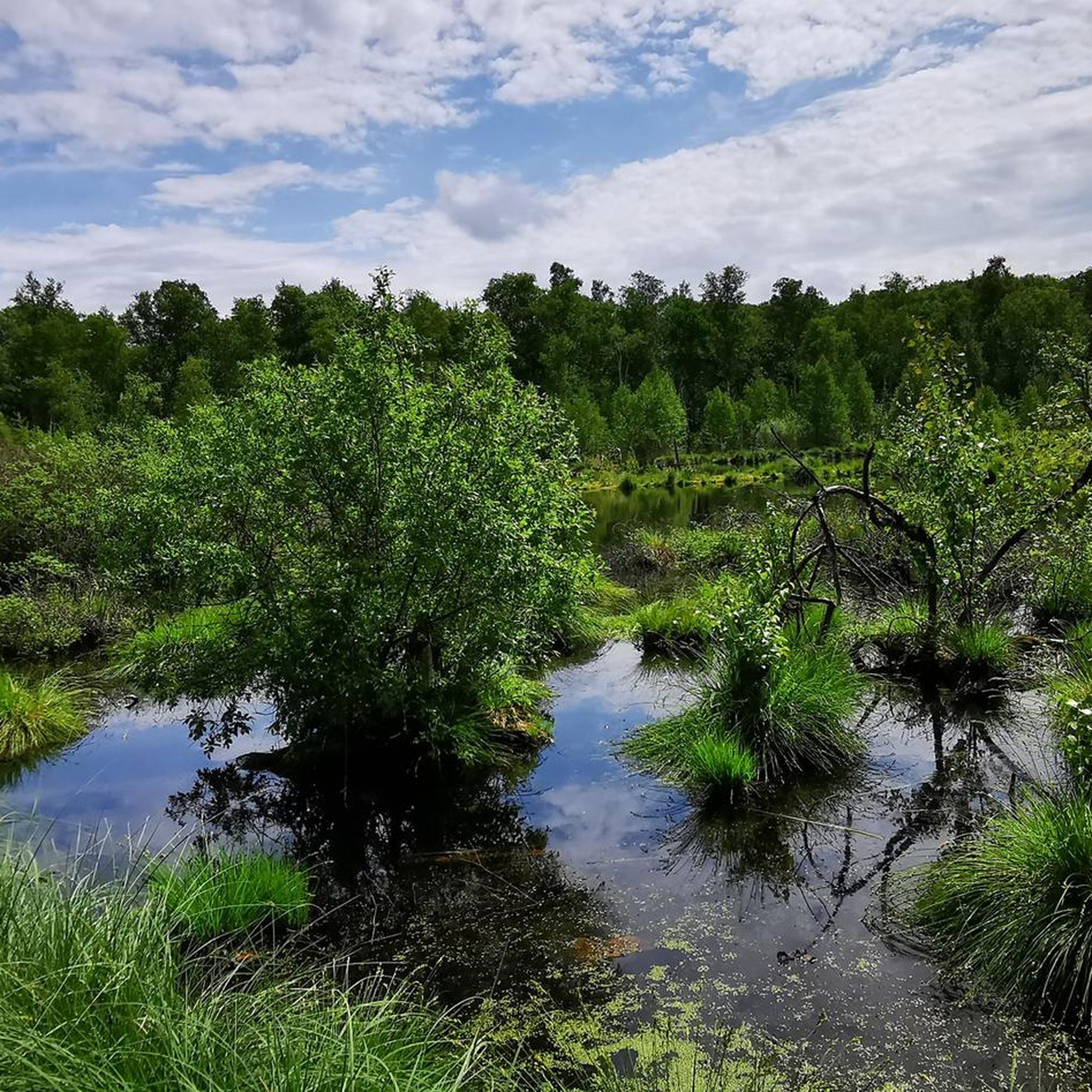
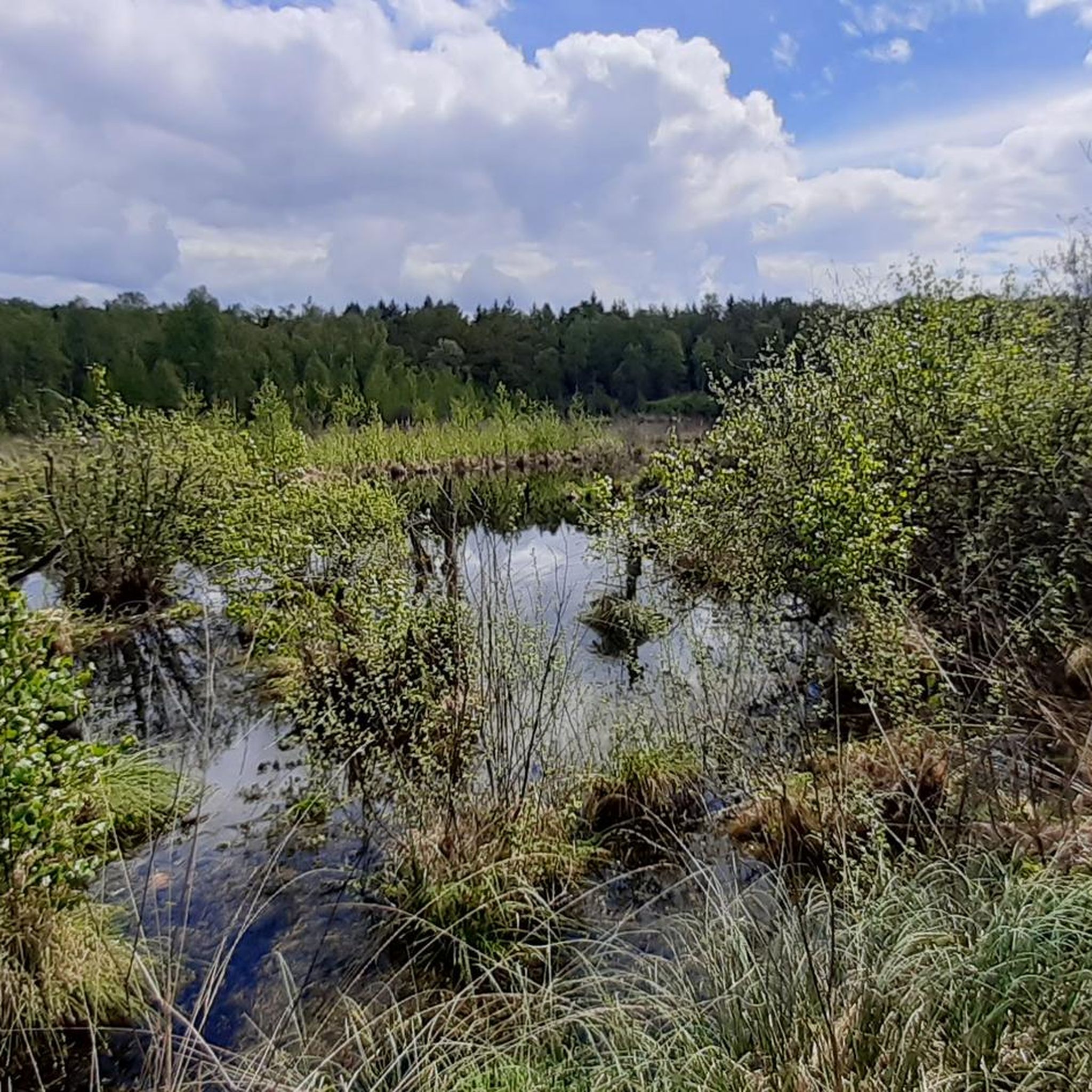
The Grand Saint Maurice pond is located in the heart of the Grande Pile peat bog. This wetland is essential for biodiversity, and is home to rare species of flora and fauna. It is a popular place for bird watching and hiking.
1
0
Along the Reigne there is a promenade which leads to a picturesque mill. The walk is accessible and pleasant, perfect for a nature break!
1
0

This resurgence is located on the Reigne hiking circuit. The color of the water is unusual and the natural setting is exotic!
2
0

place to see and see again the colors change each time
2
0

Very nice lake with a small parking lot. There are also some benches provided and a place to relax and enjoy yourself!
1
0

The Grande Pile peat bog is home to a remarkable and mysterious ecosystem. Ponds, forests and plains coexist to accommodate a diverse fauna.
2
0

beautiful landscapes, but exclusively pedestrians
1
0
Frequently Asked Questions
How many hiking trails are available around Franchevelle?
There are over 110 hiking trails around Franchevelle, offering a wide variety of options for exploring the diverse landscapes of the Haute-Saône department. These routes are highly rated by the komoot community, with an average score of 4.5 stars from over 400 reviews.
What kind of landscapes can I expect to see on hikes around Franchevelle?
Hikes around Franchevelle offer a rich tapestry of natural landscapes. You can explore the unique glacial terrain of the Plateau des 1000 Étangs, often called 'Little Finland,' with its mosaic of ponds, wetlands, and forests. The region also features extensive forested areas like the Forest of La Vaivre, winding rivers such as the Lanterne, and rolling countryside with picturesque villages. To the north, you can even find the foothills of the Vosges Mountains.
Are there hiking options for all skill levels in Franchevelle?
Yes, the Franchevelle area provides hiking options for various ability levels. Out of 114 available routes, 59 are classified as easy, 53 as moderate, and 2 as difficult. This ensures that both casual walkers and more experienced hikers can find suitable trails.
Are there any easy, family-friendly hikes around Franchevelle?
Absolutely. Many trails in the region are suitable for families looking for an easy outing. For example, the Grande Pile Peat Bog – Grand Saint Maurice Pond loop from Linexert is an easy 4.6-mile (7.4 km) path that explores a distinctive peat bog landscape and a scenic pond, perfect for a relaxed family walk.
Can I find circular hiking routes near Franchevelle?
Yes, circular routes are common in the Franchevelle area, allowing you to start and end your hike in the same location. A popular choice is the Etang de la Grande Chaissée loop from Belmont, an 8.0-mile (12.9 km) trail that takes you through forested areas and past a beautiful lake.
Are there any long-distance hiking routes or challenging trails in the Franchevelle area?
While most local trails are easy to moderate, the broader Haute-Saône department, where Franchevelle is located, is traversed by major long-distance routes like the GR59 and sections of the Pilgrim's Way to Santiago de Compostela and the Via Francigena. These offer extensive and varied trekking experiences for those seeking more challenging or multi-day adventures.
What interesting places or landmarks can I explore while hiking near Franchevelle?
Beyond the natural beauty, you can discover several points of interest. The unique Plateau des mille étangs is a highlight in itself. You might also encounter local heritage sites like the 'motte du Fort de Vougne' or the commons of an old castle within Franchevelle. Nearby, you can visit the town of Lure or the Saint Columban Abbey.
What do other hikers enjoy most about the trails near Franchevelle?
The trails around Franchevelle are highly rated by the komoot community, with an average score of 4.5 stars. Reviewers often praise the region's tranquil natural settings, the varied terrain that includes unique glacial landscapes and extensive forests, and the well-maintained paths that cater to different skill levels. The peaceful atmosphere and scenic beauty are frequently highlighted.
Is it possible to hike along rivers or find water features in the Franchevelle region?
Yes, the region is characterized by winding rivers, including the Lanterne which traverses Franchevelle, and the Saône and Ognon nearby. Many trails offer opportunities for walks along riverbanks. The Water and Stone route is a moderate trail that features varied terrain, likely including some water elements, and the Grand Rosbeck Pond is another beautiful water feature you can explore.
Are there dog-friendly hiking trails in Franchevelle?
Many trails in the Franchevelle area are suitable for hiking with dogs, especially those through forests and along river paths where they can enjoy the natural surroundings. It's always recommended to keep dogs on a leash, especially in areas with wildlife or near agricultural land, and to respect local signage regarding pet access.
What is the best time of year to go hiking around Franchevelle?
The spring and autumn months are generally ideal for hiking around Franchevelle. Spring brings blooming flora and mild temperatures, while autumn offers vibrant fall foliage. Summer can also be pleasant, though it's advisable to start earlier in the day to avoid the midday heat. Winter hiking is possible, especially on lower-elevation trails, but conditions can vary and some paths might be muddy or icy.
Where can I find more information about hiking in the Haute-Saône department?
For additional information and inspiration on hiking in the broader Haute-Saône department, you can visit the official tourism website. They offer resources on various walks and hikes in the region. You can explore their dedicated walking section here: Haute-Saône Tourism - On Foot.
Most popular routes around Franchevelle
Most popular attractions around Franchevelle

Get inspired with the komoot mobile app


Explore more
Browse the best Hikes in other regions.
