The best running trails around Bütschwil-Ganterschwil
4.5
(128)
2,799
runners
20
runs
Jogging routes around Bütschwil-Ganterschwil traverse a diverse landscape of meadows, forests, and rolling hills within the Toggenburg region of St. Gallen, Switzerland. The area is characterized by the Thur and Necker rivers, offering routes along their banks and through varied terrain. Elevation changes are present, with the lowest point along the Thur river at 555 meters and the highest point at Sedelberg, reaching 942 meters. This geography provides a range of running experiences.
Best jogging routes around Bütschwil-Ganterschwil
- The most…
Last updated: July 11, 2026
22
runners
6.90km
00:44
70m
70m
Moderate run. Good fitness required. Mostly paved surfaces. Suitable for all skill levels.
5.0
(2)
19
runners
11.8km
01:16
160m
160m
Moderate run. Good fitness required. Mostly paved surfaces. Suitable for all skill levels.

Sign up for free
5.0
(1)
12
runners
9.21km
01:02
150m
150m
Moderate run. Good fitness required. Mostly paved surfaces. Suitable for all skill levels.
4.0
(1)
13
runners
7.22km
00:47
90m
90m
Moderate run. Good fitness required. Mostly paved surfaces. Suitable for all skill levels.
6
runners
4.67km
00:30
70m
70m
Easy run. Great for any fitness level. Mostly paved surfaces. Suitable for all skill levels.
Get access to more routes and recommendations from other explorers.
Sign up for free
Already have an account?
Our route recommendations are based on thousands of hikes, rides, and runs completed by other people on komoot.
Start today with a free account
Your next adventure awaits.
Login or Signup
Tips from the Community

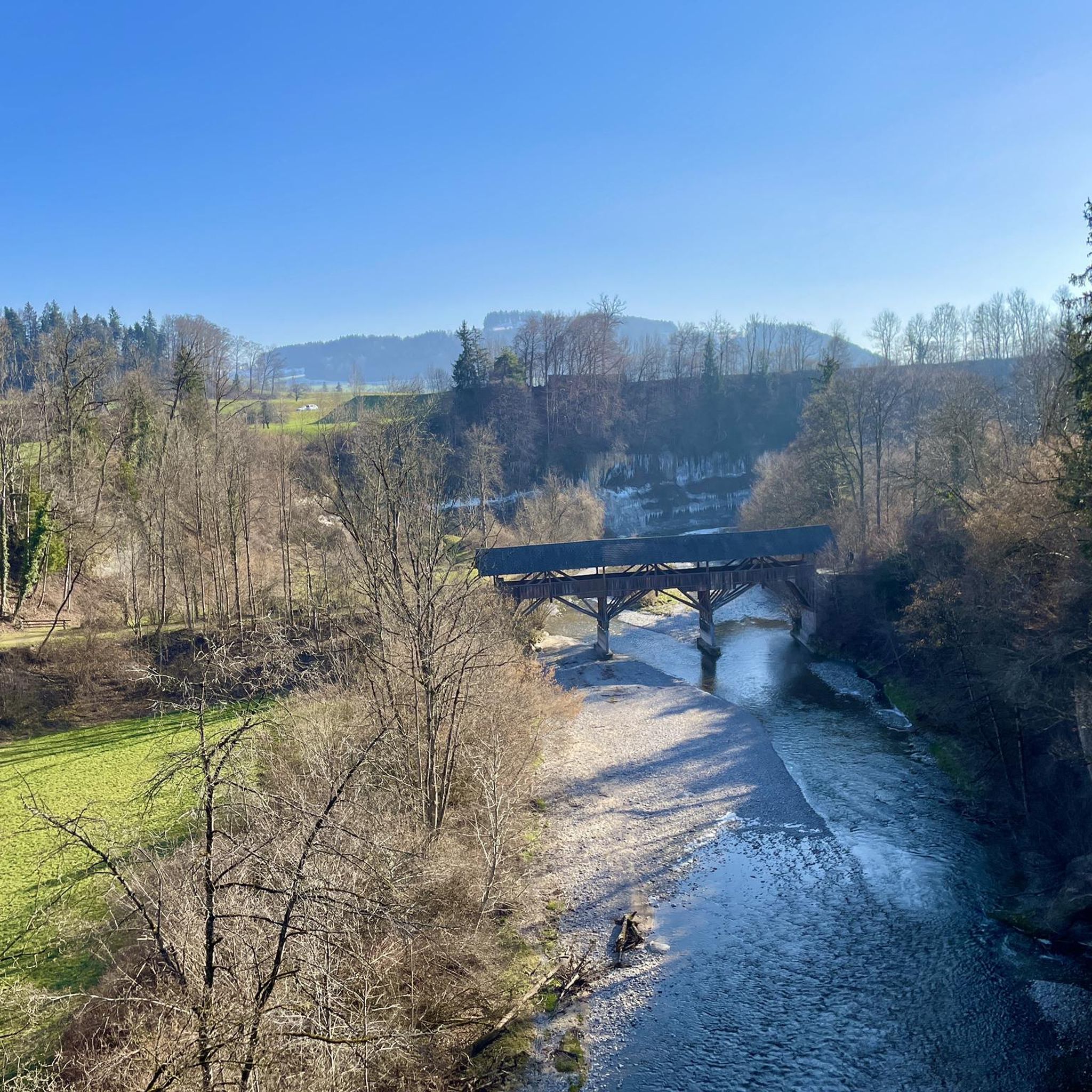
A wooden bridge that tells a long story and offers many views of nature.
1
0

Beautiful view, I would recommend it to everyone.
0
0

Very nice bridge and next door the Hohe Eisenbahnbrücke
2
0

The bridge is considered the largest wooden bridge in Toggenburg
1
0


Beautiful, architecturally interesting bridge.
4
0

The old wooden bridge, which was closed to motorized traffic. Can also be rented for events!
1
0

It is worth looking at the old baroque church
0
0
Frequently Asked Questions
What kind of terrain can I expect on the running trails around Bütschwil-Ganterschwil?
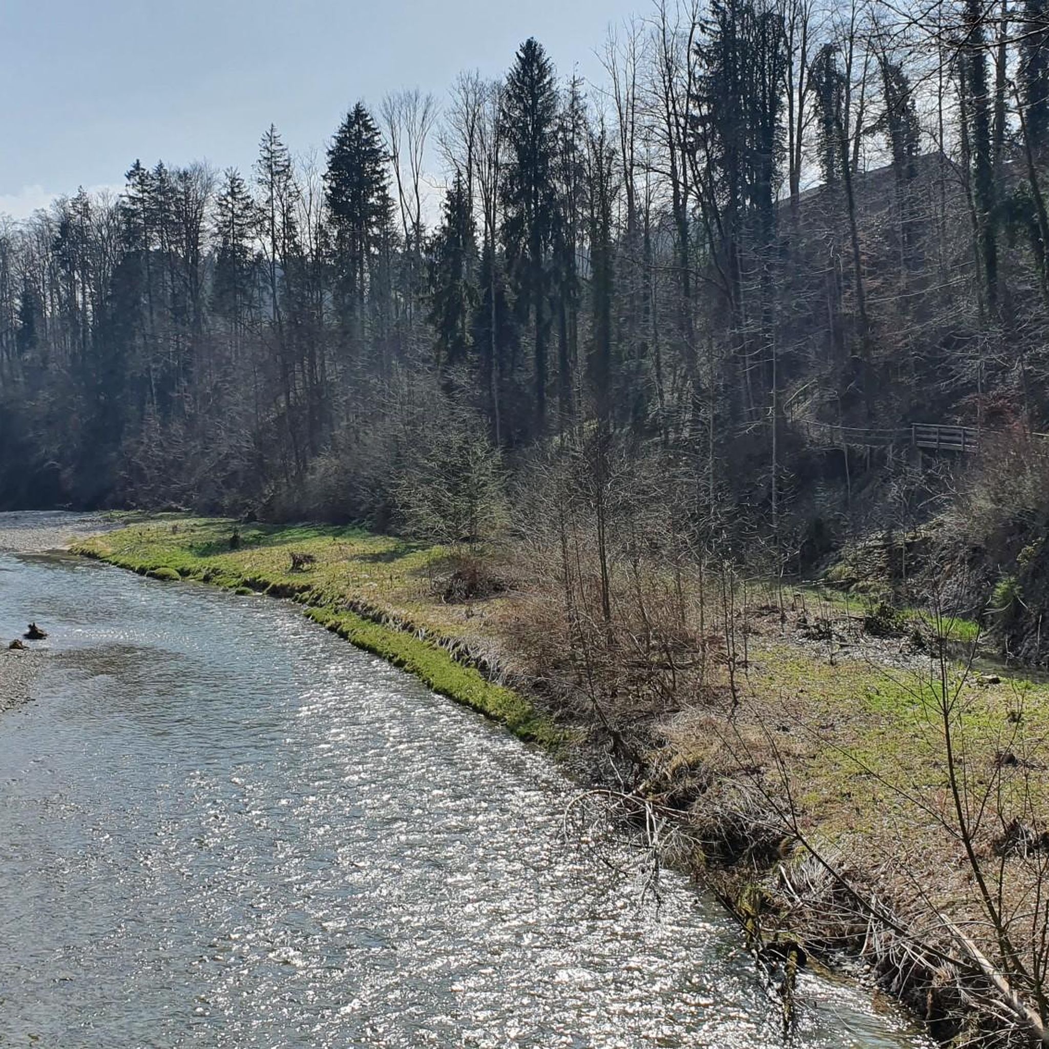
The running trails in Bütschwil-Ganterschwil offer a diverse mix of landscapes. You'll find routes traversing meadows, dense forests, and rolling hills. The area is also characterized by the romantic river landscapes of the Thur and Necker rivers, providing picturesque runs along their banks. This variety ensures a dynamic and interesting running experience.
Are there running routes suitable for beginners in Bütschwil-Ganterschwil?
Yes, there are routes suitable for various skill levels. For beginners or those looking for an easier run, the Running loop from Bütschwil-Ganterschwil is an excellent choice. It's classified as easy and covers a distance of about 4.7 km.
What are the elevation changes like on the jogging routes in this region?
Bütschwil-Ganterschwil offers varied elevation profiles. The lowest point along the Thur river is at 555 meters, while the highest point, Sedelberg, reaches 942 meters. This means you can find routes with gentle inclines and declines, as well as more challenging options with significant elevation gains, catering to different training preferences.
Can I find circular running routes in Bütschwil-Ganterschwil?
Absolutely. Many of the routes in the area are designed as loops, allowing you to start and finish in the same location. For example, the popular Running loop from Bütschwil is a moderate 6.9 km circular trail that offers a great exploration of the area.
Are there any notable landmarks or natural features to see while running?
Yes, the region is rich in scenic attractions. You can enjoy the romantic river landscapes of the Thur and Necker rivers. A unique highlight is the Thur Suspension Bridge near Thurau, which can be incorporated into longer runs. The Church in St. Gallen – Thur Wooden Bridge loop from Bütschwil specifically features sections along the Thur river and includes the notable Drahtsteg (wire bridge).
What do other runners think about the trails in Bütschwil-Ganterschwil?
The running routes in Bütschwil-Ganterschwil are highly regarded by the komoot community, holding an average rating of 4.5 stars from over 100 reviews. More than 2,700 runners have explored the varied terrain, often praising the diverse landscapes and well-marked trails.
Are the running trails in Bütschwil-Ganterschwil suitable for families?
Many of the trails, especially the easier and moderate loops through meadows and along riverbanks, are suitable for families. The varied terrain and scenic views make for an enjoyable outing. Consider routes with less elevation gain for younger children or those pushing strollers.
Is Bütschwil-Ganterschwil accessible by public transport for runners?
Yes, the region is well-connected by public transport, making it convenient to reach various starting points for your chosen running routes. This allows for flexibility in planning your run without needing a car.
Can I bring my dog on the running trails in Bütschwil-Ganterschwil?
Generally, dogs are welcome on trails in Switzerland, but it's always recommended to keep them on a leash, especially in agricultural areas, near livestock, or in nature protection zones. Always be mindful of local regulations and other trail users.
Are there any specific viewpoints along the running routes?
Many trails offer stunning views of the surrounding mountains and valleys. The Sedelberg, at approximately 1,000 meters above sea level, is a notable viewpoint, and on clear days, you might even catch a glimpse of Lake Constance from higher elevations.
How many running routes are available in Bütschwil-Ganterschwil?
There are over 20 dedicated running routes around Bütschwil-Ganterschwil listed on komoot, offering a wide range of distances and difficulty levels to suit every runner.
What is a good moderate running route that showcases the area?
The Baroque church in Bütschwil loop from Bütschwil is a fantastic moderate option. This 9.3 km trail leads through varied landscapes and typically takes about 1 hour and 3 minutes to complete, offering a great overview of the region.
What is the best time of year for jogging in Bütschwil-Ganterschwil?
The region is beautiful for jogging throughout the year. Spring and autumn offer pleasant temperatures and vibrant scenery, while summer provides longer daylight hours. Even winter can be enjoyable, with crisp air and potentially snowy landscapes, though some trails might require more appropriate footwear.
Most popular routes around Bütschwil-Ganterschwil
Most popular attractions around Bütschwil-Ganterschwil

Get inspired with the komoot mobile app


Explore more
Browse the best Running Trails & Routes in other regions.
