The best mountain hikes around Schmerikon
5.0
(1)
27
hikers
3
hikes
Mountaineering routes around Schmerikon are situated at the head of Lake Zurich, offering access to challenging mountain terrain. The region features a landscape of rolling hills, dense forests, and the expansive Obersee, which transitions into more pronounced mountainous areas. While Schmerikon itself is at a modest elevation, the surrounding areas provide significant elevation gain and panoramic views of Lake Zurich and distant Alpine peaks. This diverse topography supports demanding mountain hikes that require good fitness and sure-footedness.
Best mountaineering routes…
Last updated: May 26, 2026
5.0
(1)
16
hikers
9.67km
03:27
570m
570m
Moderate mountaineering route. Good fitness required. Easily-accessible paths. Suitable for all skill levels.
4
hikers
14.0km
07:41
1,380m
1,380m
Hard mountaineering route. Very good fitness required. Sure-footedness, sturdy shoes and alpine experience required.

Sign up for free
4
hikers
11.8km
04:00
590m
590m
Moderate mountaineering route. Good fitness required. Easily-accessible paths. Suitable for all skill levels.
3
hikers
8.14km
02:55
460m
460m
Moderate mountaineering route. Good fitness required. Easily-accessible paths. Suitable for all skill levels.
Our route recommendations are based on thousands of hikes, rides, and runs completed by other people on komoot.
Start today with a free account
Your next adventure awaits.
Login or Signup
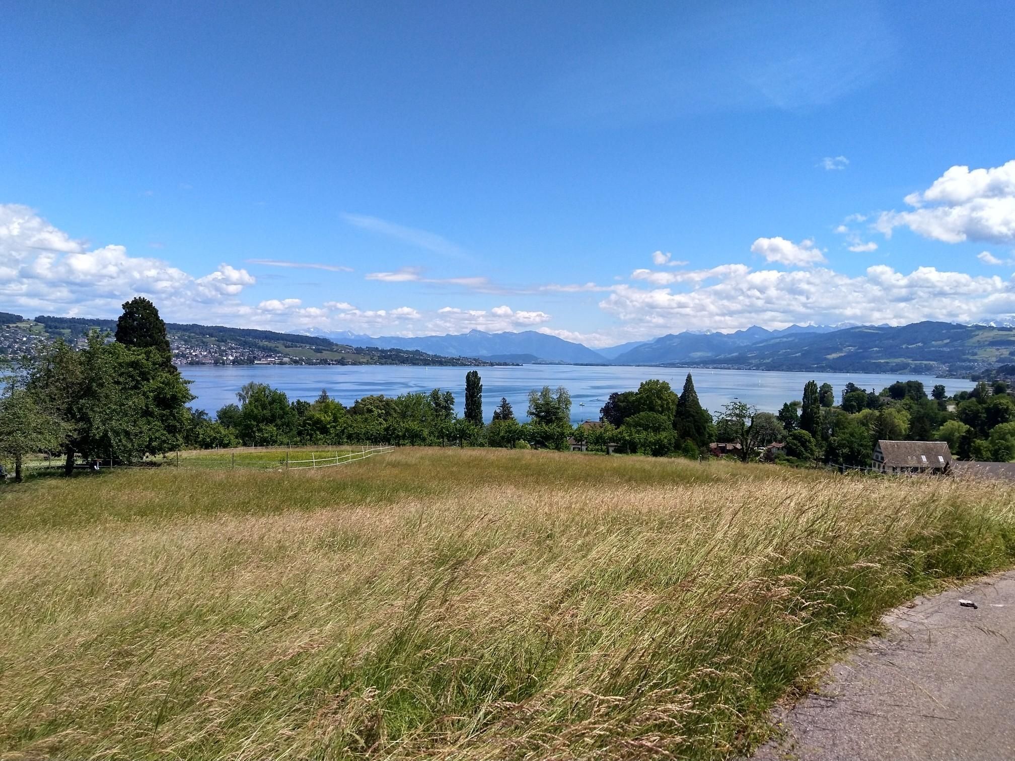
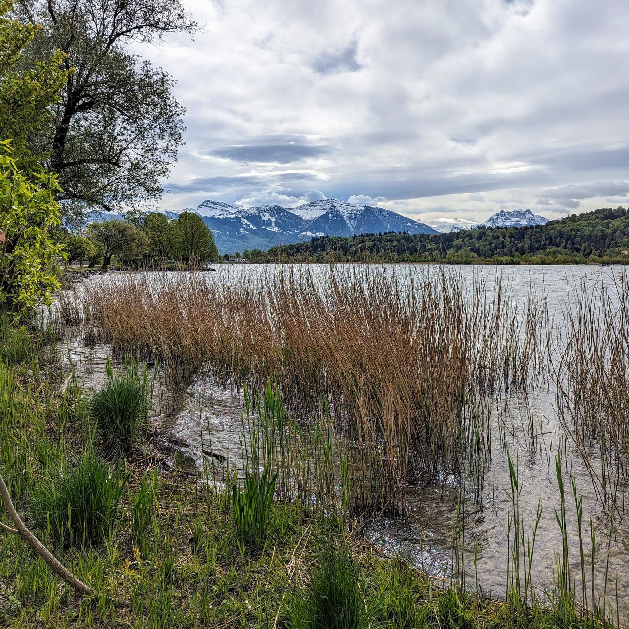
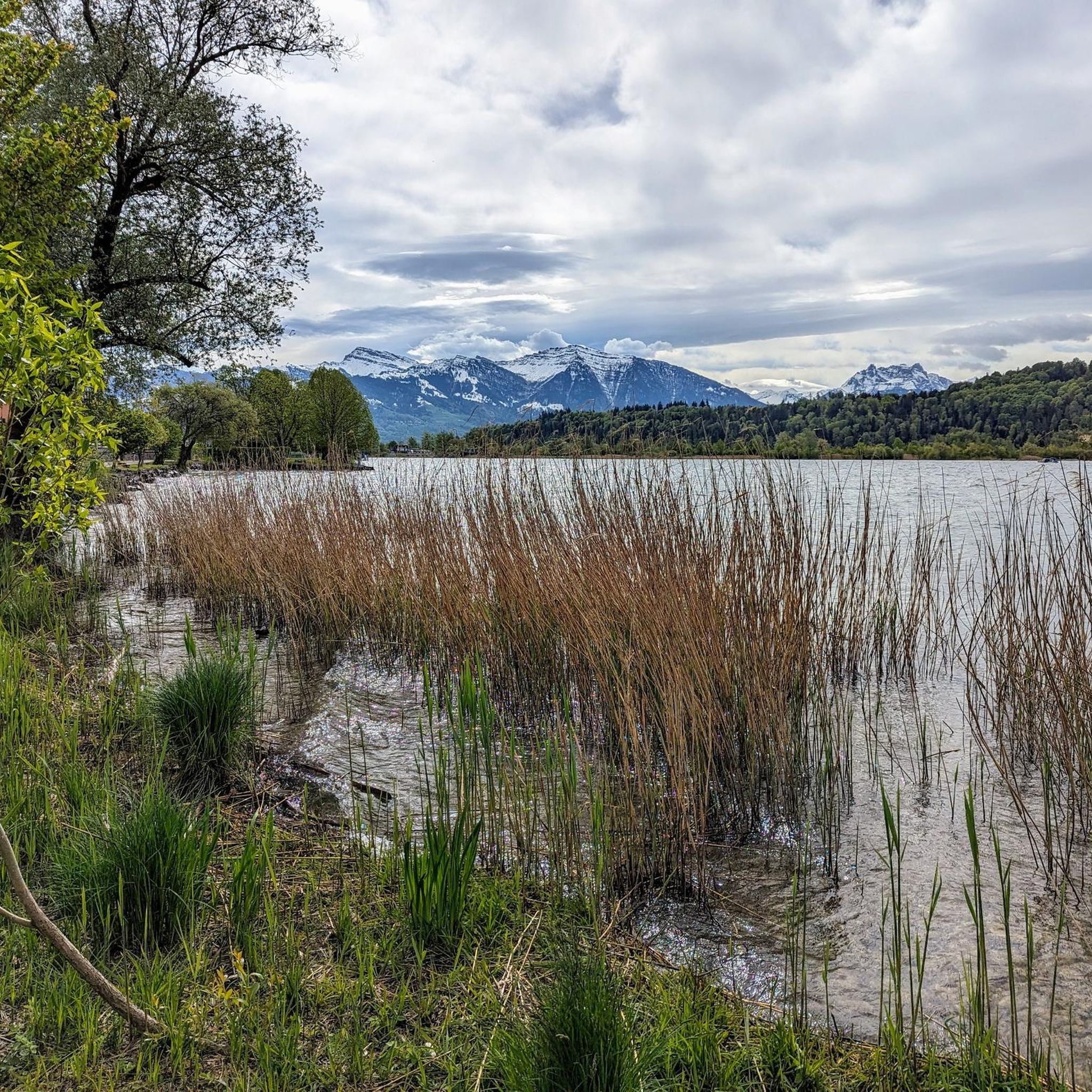
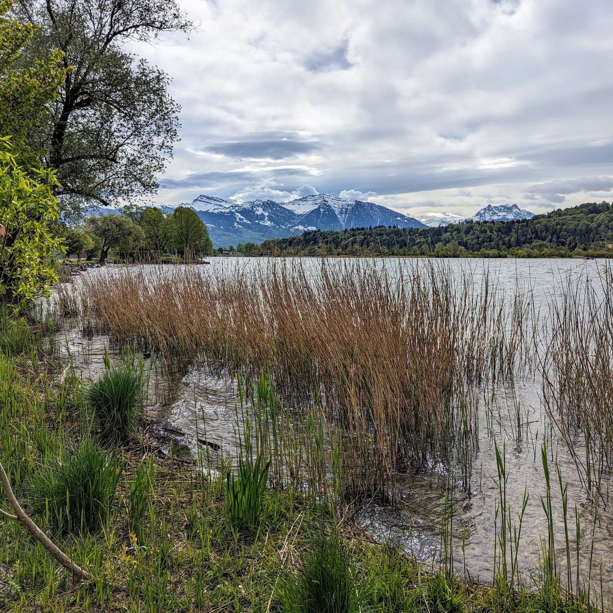
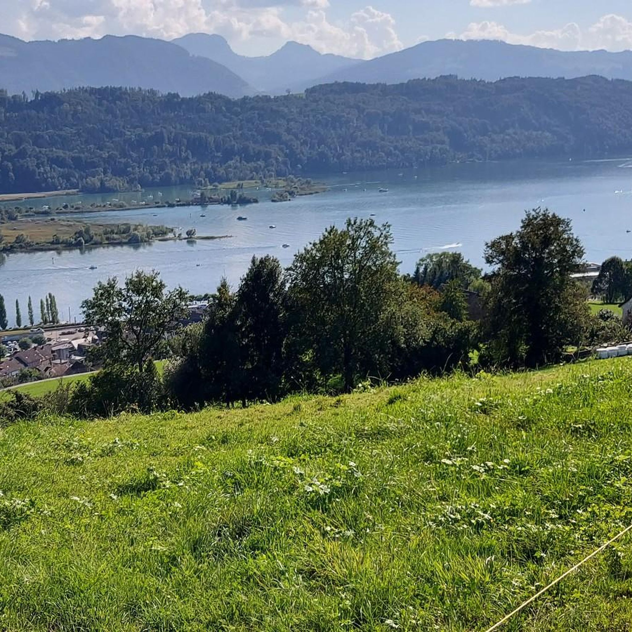
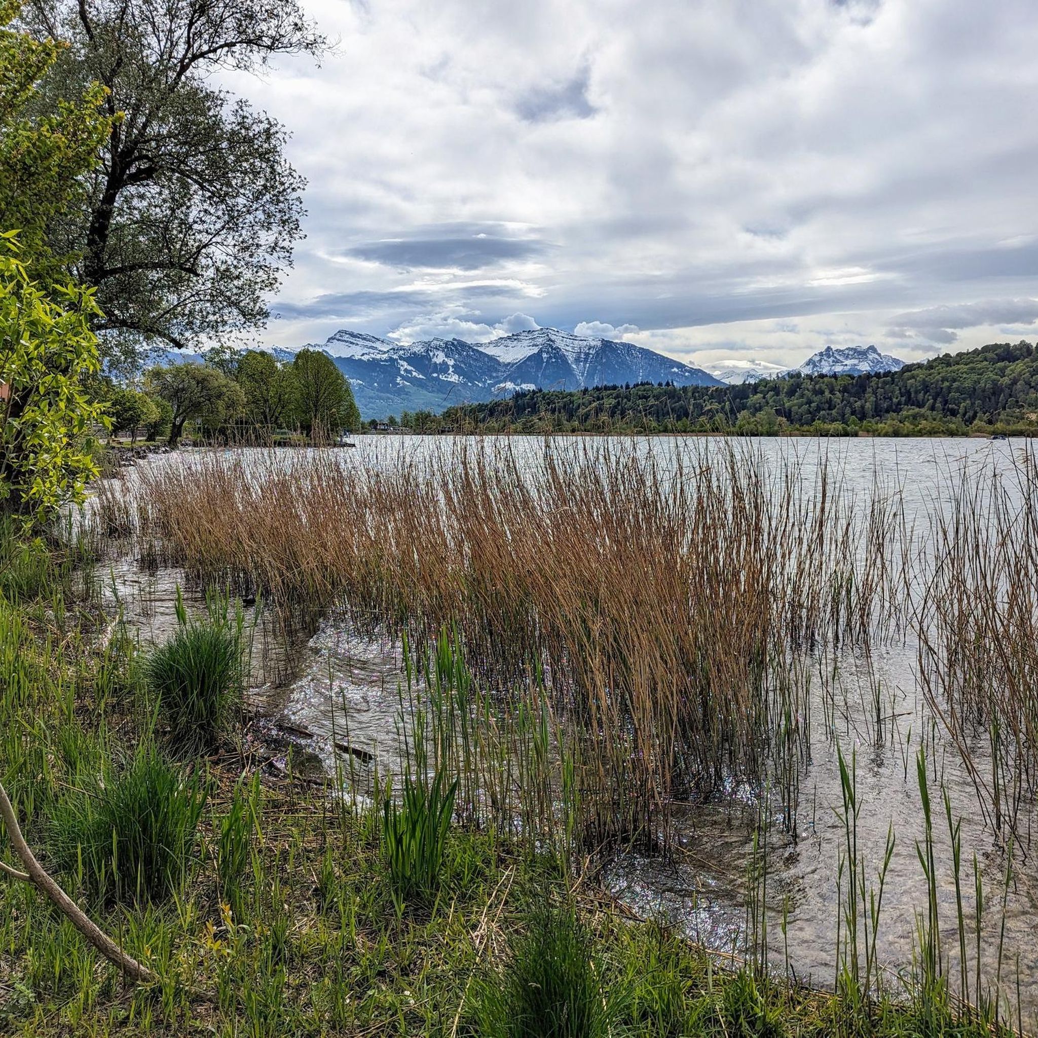
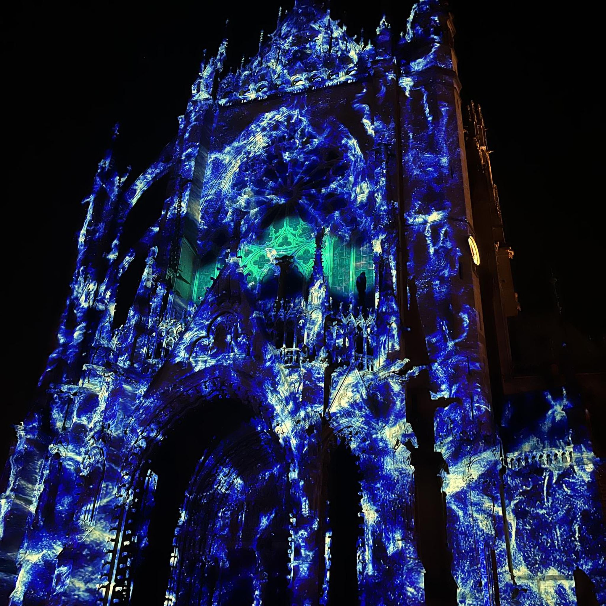
Other adventures around Schmerikon

Tips from the Community

Conditionally very demanding. 200m steep running section.
0
0

A beautifully designed break area with seating, a fireplace, and firewood is available. The perfectly designed mountain display provides a glimpse into the world of the summits.
0
0

After a steep climb from Ziegelbrücke, you come through the Alp to the ridge to Ferderi- and Plättlispitz, with fascinating views of the Nagelflufkette.
1
0
After an ascent of about 800 m from Ziegelbrücke you will find an idyllic place to rest with great views.
1
0

A short break at the Federihütte is definitely worth it! Whether for a freshly made fruit tart or a refreshing drink.
0
0

The terrace offers stunning views of the Glarus Alps, the Churfirsten Mountains, and the Bernese Oberland. The hike from Hüttenberg takes about 45 minutes, and from Schutt, about an hour. https://www.bergrestaurant-atzmaennig.ch/
2
0
The summit (Chümibaren, sometimes also Chümmibarren, or Chrüzegg), just west of the Chrüzegg mountain restaurant, is definitely worth a visit. The summit cross, view, and bench are all worth a visit.
2
0
The highest point of the Rickener Nagelfluh range. This mountain is ideal for combining with a longer hike between Rotstein and Chrüzegg or Chummibarren. Beautiful views toward Säntis. In spring, numerous white crocuses bloom on the slopes of the Obere Tweralp.
2
0
Frequently Asked Questions
What kind of mountaineering experiences can I expect around Schmerikon?
While Schmerikon itself is at a modest elevation, the surrounding region offers challenging mountain hikes that provide significant elevation gain and panoramic views. You'll find a mix of forested slopes and open mountain ridges, leading to demanding routes that require good fitness and sure-footedness, akin to mountaineering experiences.
Are there any circular mountaineering routes available near Schmerikon?
Yes, several routes are designed as loops. For example, the Tweralpspitz – Chümibaren loop from Eschenbach (SG) is a moderate 10.5 km trail, and the Chümibaren loop from Eschenbach (SG) is a slightly shorter 8.1 km option. For a more challenging circular experience, consider the difficult View of the Rhine Valley – Federispitz Summit loop from Schänis.
What are some notable landmarks or viewpoints I might encounter on these routes?
The region offers stunning views. You can expect panoramic vistas of Lake Zurich and distant Alpine peaks. Specific highlights include the Bachtel Tower and Alp Scheidegg — Panorama and Paragliding Launch Site, both offering excellent viewpoints. The View of Rapperswil's Old Town and Castle is also a scenic point near the lake.
Are there any waterfalls to see while mountaineering around Schmerikon?
Yes, the area features some beautiful natural monuments, including waterfalls. You might discover the Sagenraintobel Waterfalls or the Wissengubel Waterfall, adding a refreshing element to your mountain adventures.
What is the difficulty level of mountaineering routes in this area?
The mountaineering routes around Schmerikon are generally moderate to difficult. For instance, the Tweralpspitz – Chümibaren loop from Eschenbach (SG) is rated moderate, while the View of the Rhine Valley – Federispitz Summit loop from Schänis is considered difficult, featuring significant elevation gain and requiring a good level of fitness and sure-footedness.
What are the typical distances and elevation gains for mountaineering routes near Schmerikon?
Routes vary in length and ascent. Moderate trails like the Tweralpspitz – Chümibaren loop from Eschenbach (SG) cover about 10.5 km with around 585 meters of elevation gain. More challenging routes, such as the View of the Rhine Valley – Federispitz Summit loop from Schänis, can extend to 14 km with over 1370 meters of ascent.
What do other mountaineers say about the routes around Schmerikon?
Over 20 mountaineers have explored the varied terrain around Schmerikon using komoot. They often praise the diverse landscape, which includes a mix of forested slopes and open mountain ridges, and the rewarding panoramic views of Lake Zurich and the distant Alpine peaks.
Are there any lakes or water features near the mountaineering trails?
Schmerikon is situated at the head of Lake Zurich, specifically the Obersee. Many routes offer views of the lake, and you can find highlights like Schmerikon — lakeside on Lake Zurich and the Shore of Lake Obersee. The proximity to the lake also allows for various water sports activities.
What are some of the higher peaks or demanding trails accessible from Schmerikon?
For those seeking more rigorous experiences, peaks like Chrüzegg (1,265m) and Planggenstock (1,675m) offer demanding trails with significant elevation gain and stunning panoramic views. The ridge path from Hirzli over to Planggenstock is particularly noted as a challenging mountain hike.
Is Schmerikon a good base for exploring the wider region?
Absolutely. Schmerikon's location at the head of Lake Zurich makes it an excellent base. It provides easy access to challenging mountain hikes in the nearby Alps, while also offering lakeside activities and cultural attractions like Rapperswil Castle and Kloster Einsiedeln within a reasonable distance.
What kind of terrain can I expect on mountaineering routes near Schmerikon?
The terrain is quite varied, ranging from lush forests and rolling hills to more pronounced mountainous areas. You'll encounter a mix of forested slopes, open mountain ridges, and paths that require sure-footedness, especially on the more demanding ascents to peaks like Chrüzegg or Planggenstock.
Most popular routes around Schmerikon
Most popular attractions around Schmerikon

Get inspired with the komoot mobile app


Explore more
Browse the best Mountain Hikes & Routes in other regions.
