The best mountain hikes around St. Margrethen
4.9
(89)
760
hikers
3
hikes
Mountaineering routes around St. Margrethen offer access to varied landscapes within the Rhine Valley and nearby elevated terrain. Situated on the Swiss-Austrian border, the region features green hills, clear rivers, and serves as a gateway to more challenging alpine experiences. Higher-altitude areas like St. Margrethenberg provide opportunities for demanding routes and offer panoramic views, including the Pizalun viewing platform. These routes often require good fitness, sure-footedness, and alpine experience.
Best mountaineering routes around St. Margrethen
- The most popular mountaineering route…
Last updated: August 17, 2026
4.7
(30)
186
hikers
3.61km
01:26
220m
220m
Hard mountaineering route. Great for any fitness level. Sure-footedness, sturdy shoes and alpine experience required.
4.7
(22)
156
hikers
2.59km
01:07
170m
170m
Hard mountaineering route. Great for any fitness level. Sure-footedness, sturdy shoes and alpine experience required.

Sign up for free
5.0
(2)
48
hikers
9.74km
03:22
530m
530m
Moderate mountaineering route. Good fitness required. Easily-accessible paths. Suitable for all skill levels.
5.0
(1)
51
hikers
6.93km
02:41
500m
500m
Moderate mountaineering route. Good fitness required. Mostly accessible paths. Sure-footedness required.
4.7
(3)
46
hikers
6.59km
02:35
300m
300m
Hard mountaineering route. Good fitness required. Sure-footedness, sturdy shoes and alpine experience required.
Our route recommendations are based on thousands of hikes, rides, and runs completed by other people on komoot.
Start today with a free account
Your next adventure awaits.
Login or Signup
Popular around St. Margrethen
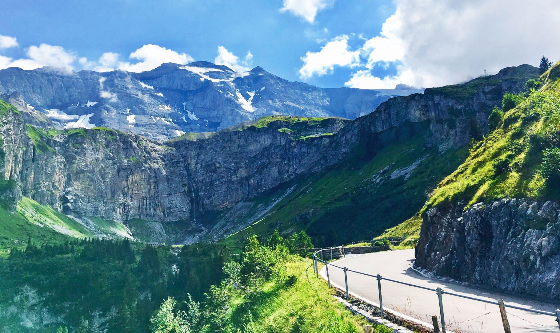
Alpine Panorama Route — 8 stages through the foothills of the Alps

The Rhine Cycle Path — From the source to the North Sea
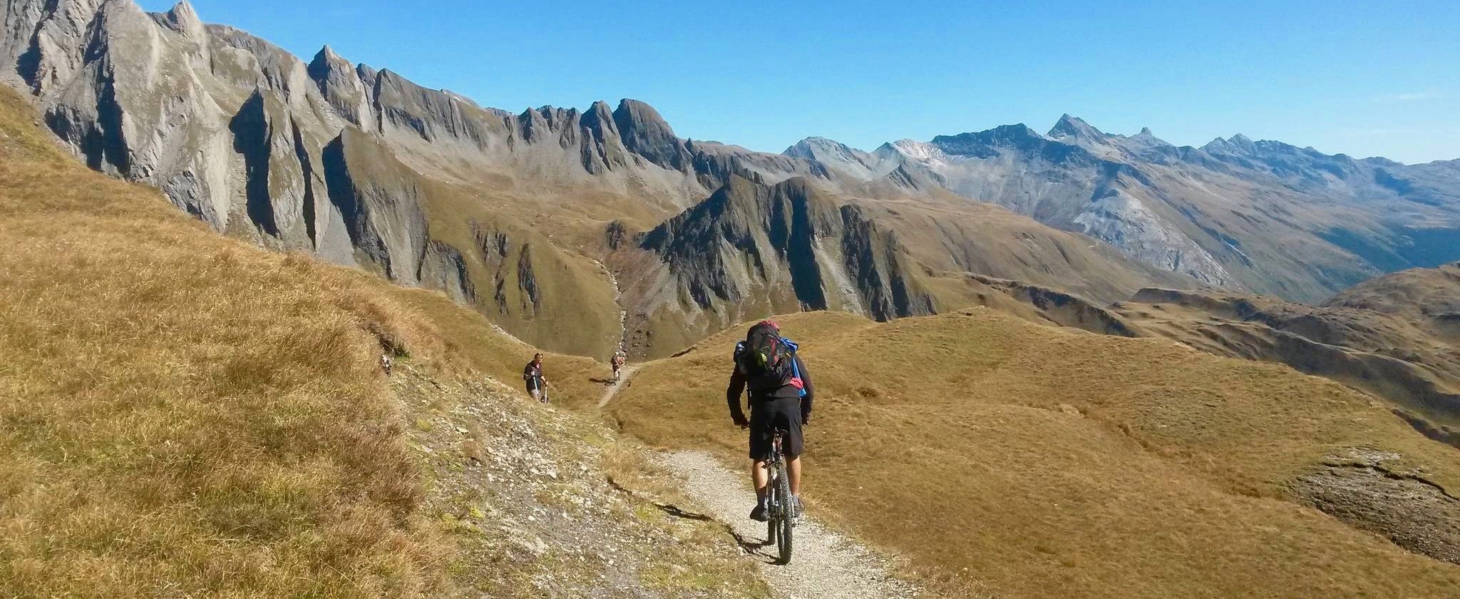
Up & down — mountain passes and singletracks for beginners
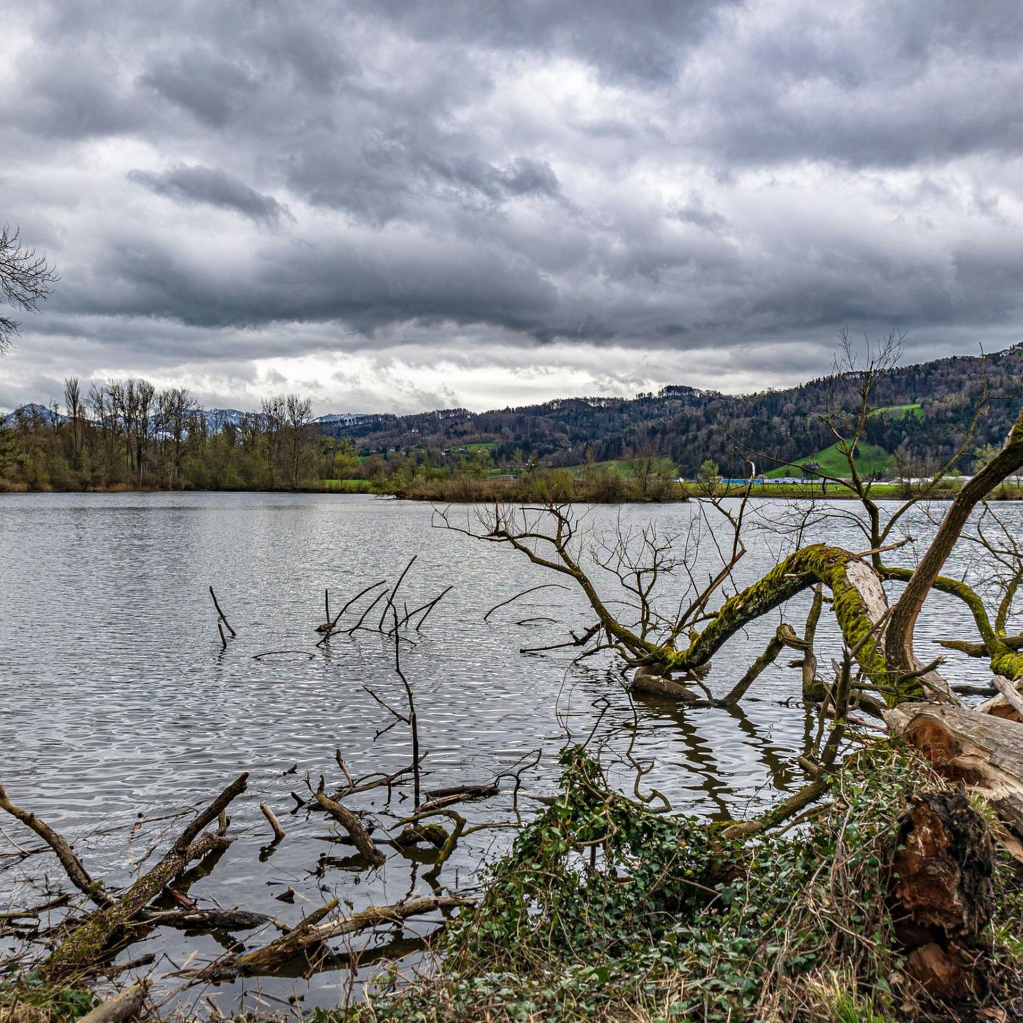
Road Cycling Routes around St. Margrethen
Cycling around St. Margrethen
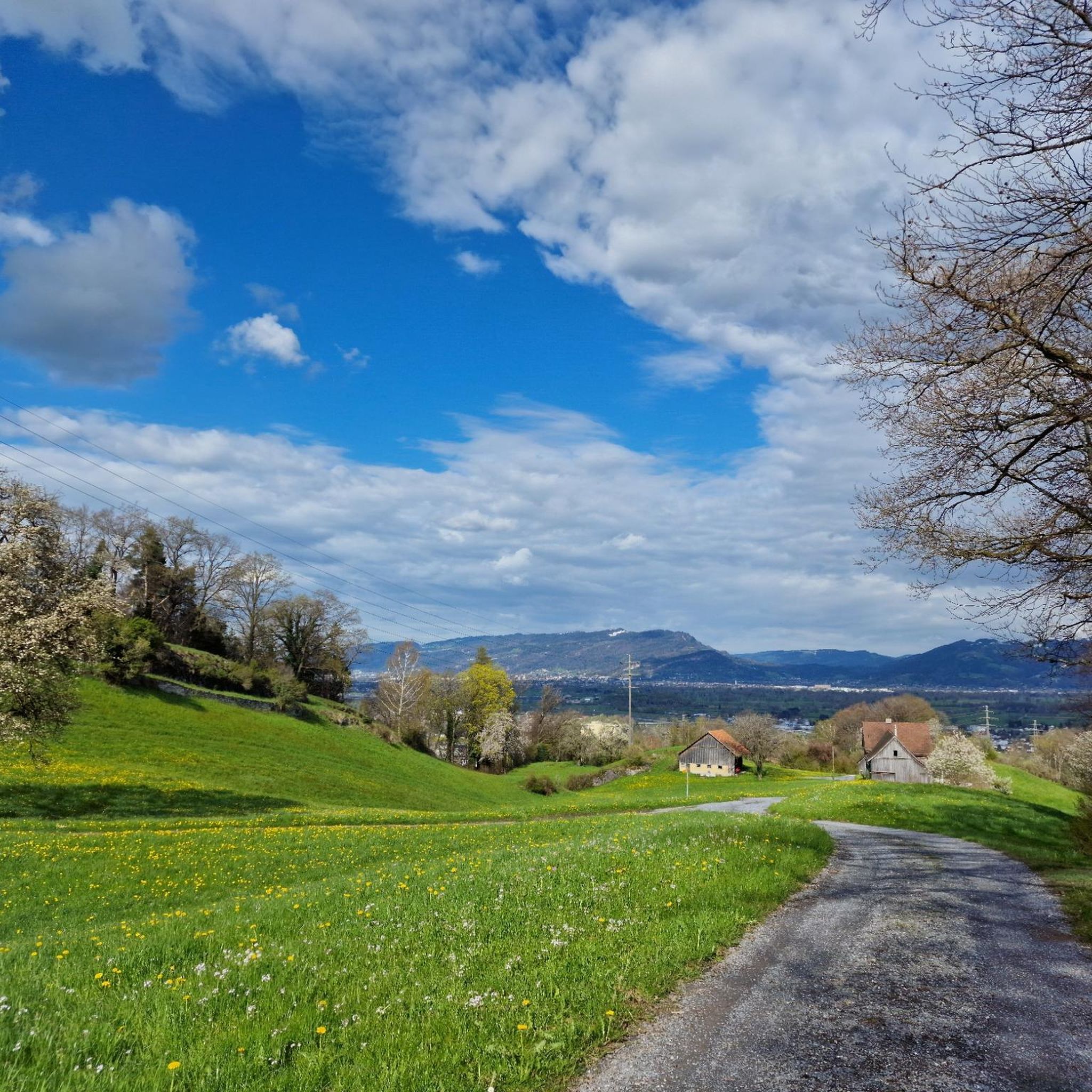
MTB Trails around St. Margrethen
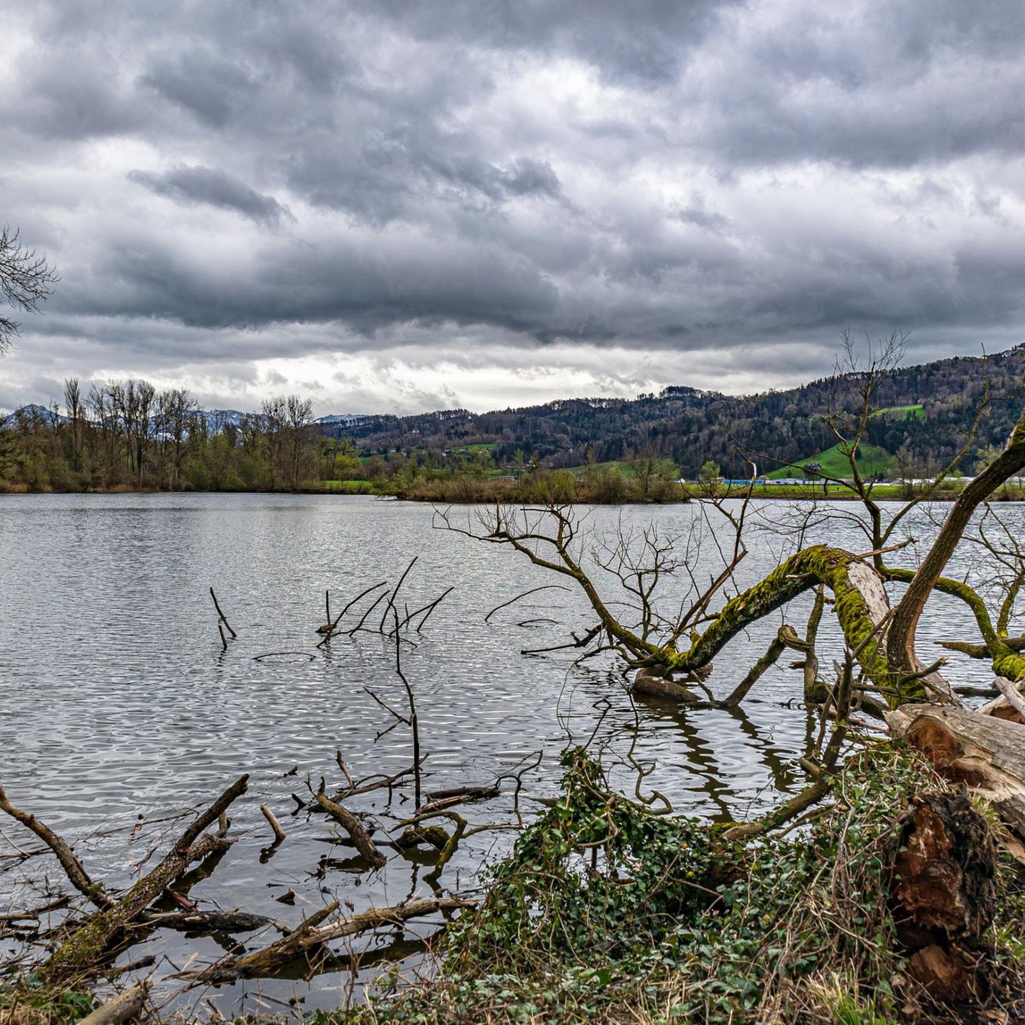
Hiking around St. Margrethen
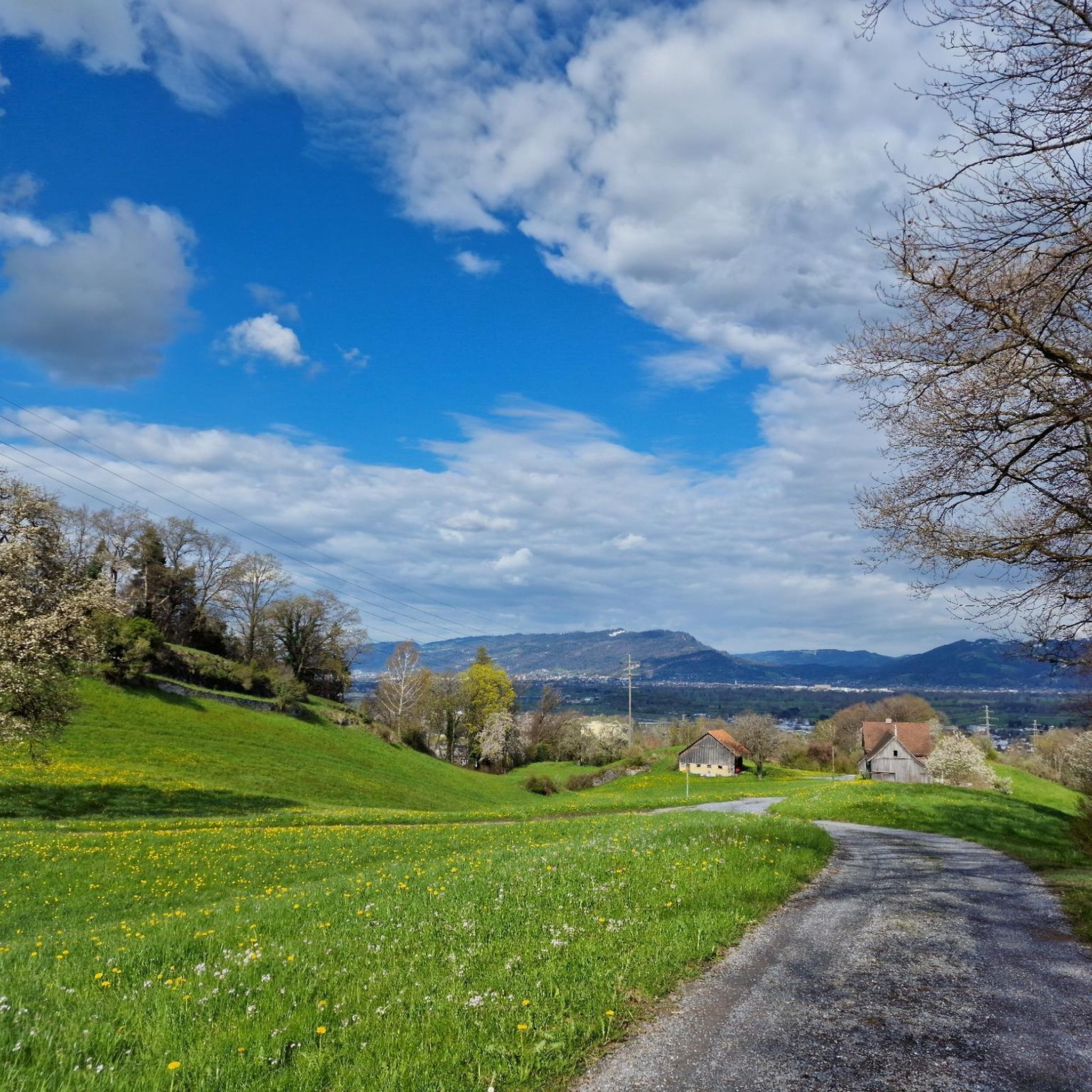
Running Trails around St. Margrethen
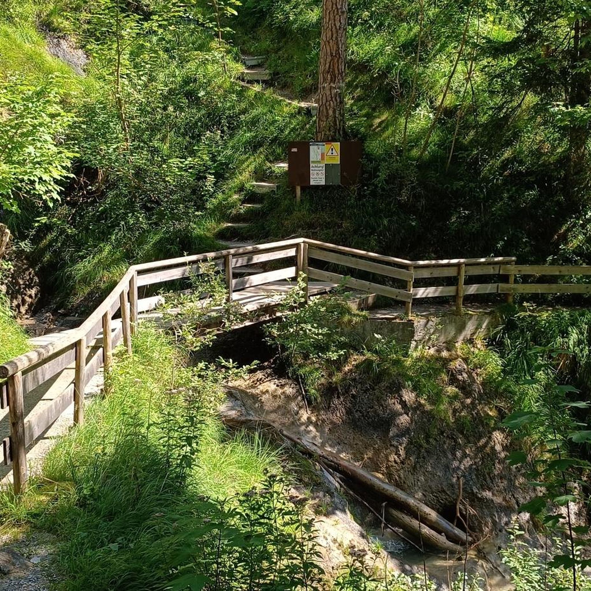
Gravel biking around St. Margrethen
Other adventures around St. Margrethen


Tips from the Community

South of the Pfänder summit is the Pfänder Dohle guesthouse, which enjoys a very quaint location.
7
0

Even with a less than perfect view, it's beautiful. Otherwise, there's a view all the way to Lake Constance and the Swiss mountains.
0
0

Around 1100, the Count of Bregenz built the castle on a rocky outcrop of the Gebhardsberg, high above the city. "Sunken in holy enthusiasm..." begins a poem inspired by Hohen Bregenz Castle. In 1143, the castle passed to the Counts of Pulllendorf, and shortly thereafter, around 1170, to Count Palatine Hugo II of Tübingen (father of Hugo I, Count of Montfort). The upper part of the castle was sold to the Habsburgs in 1451, and the lower part in 1523, and the castle became the seat of Austrian bailiffs. Converted into a fortress at the beginning of the 17th century, the Swedes blew up large sections of the castle during the Thirty Years' War. The circular wall and parts of the palace survived. The attached church became a popular place of pilgrimage in honor of Saint Gebhard. The old sacristan's house, which has since been converted into a restaurant, looks forward to your visit. Even today, the fantastic view over the Rhine Valley and Lake Constance attracts numerous visitors.
1
0

Great castle with a fine restaurant. Further towards Kennelbach there is a great via ferrata on the Kanzelfelsen 🥰
3
0
Beautiful via ferrata near Bregenz on the Kanzelfelsen. Definitely worth a visit 😉.
3
0
The instructions are for your safety. Very good description of the different routes.🥰
1
0
Very nice view over the Rhine Valley 🥰
1
0
Beautiful via ferrata near Bregenz. Definitely worth a visit 😉.
1
0
Frequently Asked Questions
What kind of terrain can I expect on mountaineering routes around St. Margrethen?
The region offers a diverse landscape, from the flat Rhine Valley floor with its clear rivers to more elevated terrain. You'll find green hills, scenic river valleys, and higher-altitude areas like St. Margrethenberg, which provide challenging ascents and panoramic views. Some routes also feature historical landmarks.
Are there any routes suitable for advanced mountaineers seeking a challenge?
Yes, several routes require good fitness, sure-footedness, and alpine experience. For a demanding ascent with significant elevation gain and expansive mountain views, consider the Staufenspitze loop from Dornbirn. Another challenging option is the Känzele via ferrata – Hohenbregenz Castle Ruins loop from Bregenz, which includes a via ferrata section.
What are some notable viewpoints or natural features along the mountaineering routes?
Many routes offer stunning vistas. The Pfänderbahn Mountain Station – Pfänder Summit loop from Bregenz leads to the Pfänder Summit, providing panoramic views over Lake Constance and the surrounding Alps. Higher-altitude areas like St. Margrethenberg also feature the Pizalun viewing platform, known for its extensive outlooks.
Are there any circular mountaineering routes available?
Yes, the region offers several circular routes. The Pfänderbahn Mountain Station – Pfänderbahn Mountain Station loop from Bregenz is a moderate circular tour. For a more difficult option, the Känzele via ferrata – Gebhardsberg Castle Ruins loop from Bregenz also forms a loop, combining a via ferrata with historical ruins.
What historical landmarks can I explore while mountaineering in the area?
The region is rich in history. You can find several castle ruins along or near mountaineering paths. For instance, the Grimmenstein Castle Ruins, once a robber knight's nest, are part of scenic hiking routes. The Gebhardsberg Castle Ruins are also accessible via some tours.
What is the best time of year for mountaineering around St. Margrethen?
The region is appealing throughout the warmer months. When fog blankets the valley below, the higher-altitude areas like St. Margrethenberg are particularly attractive for sunny walks and hikes, offering a clear escape above the clouds.
What do other mountaineers say about the routes around St. Margrethen?
The routes in St. Margrethen are highly rated by the komoot community, with an average score of 4.9 stars from over 70 reviews. Mountaineers often praise the varied terrain, from challenging alpine paths to scenic river valleys, and the rewarding panoramic views.
Are there any huts or places to rest and eat along the mountaineering trails?
Yes, there are several huts and places to stop. You might find spots like the Naturfreundehaus Kaien or the Kühbergalpe. Some routes also pass by picnic areas such as the Kaienspitz Summit Grill and Picnic Area.
Is public transport available to access mountaineering trailheads?
St. Margrethen's strategic location provides good access to the surrounding mountainous regions. While specific public transport details for each trailhead vary, the area is generally well-connected, making it possible to reach many starting points without a car.
Are there any family-friendly options for those with less mountaineering experience?
While many mountaineering routes in this guide are rated moderate to difficult, the broader region around St. Margrethen offers a range of hiking paths. Some of the less strenuous sections in the Rhine Valley or on St. Margrethenberg might be suitable for families seeking scenic walks rather than technical mountaineering.
Can I bring my dog on the mountaineering routes?
Many hiking trails in the St. Margrethen region are dog-friendly, especially those in the Rhine Valley and on lower slopes. However, for more challenging mountaineering routes, it's advisable to check specific trail regulations and consider your dog's fitness and sure-footedness, as some paths may involve steep or exposed sections.
Most popular routes around St. Margrethen
Most popular attractions around St. Margrethen

Get inspired with the komoot mobile app


Explore more
Browse the best Mountain Hikes & Routes in other regions.
