The best mountain hikes around Balgach
4.9
(29)
230
hikers
13
hikes
Mountaineering routes around Balgach are characterized by the picturesque Rhine Valley and prominent alpine terrain. The region features challenging alpine hiking routes with significant elevation gains, offering expansive panoramic views across Lake Constance and surrounding territories. These routes often involve demanding ascents through mountain forests and open alpine landscapes, requiring good fitness and alpine experience.
Best mountaineering routes around Balgach
- The most popular mountaineering route is Kapfweg Cliffside Staircase – Kapf Summit Cross loop from Götzis, a 5.1 miles (8.2 km) trail that takes 3 hours 35 minutes to complete. This difficult route offers impressive views from the Kapf summit.
- Another top favourite among local mountaineers is Hohe Kugel Summit (1,645 m) – Emser Hut loop from Hohenems, a difficult 10.4 miles (16.7 km) path. This route leads to the prominent Hohe Kugel summit, providing extensive 360-degree vistas.
- Local mountaineers also love the Bepposteig – Emsbach Trail loop from Hohenems, a 6.7 miles (10.8 km) trail leading through varied alpine terrain, often completed in about 4 hours 9 minutes.
- Mountaineering around Balgach is defined by panoramic mountain views, challenging alpine terrain, and diverse hiking trails. The network offers options for experienced mountaineers seeking significant elevation gains and rewarding vistas.
- The routes in Balgach are highly rated by the komoot community with an average score of 5.0 stars from over 20 reviews. More than 200 mountaineers have used komoot to explore Balgach's varied terrain.
Last updated: June 24, 2026
4.5
(4)
24
hikers
8.11km
03:32
590m
590m
Hard mountaineering route. Good fitness required. Sure-footedness, sturdy shoes and alpine experience required.
5.0
(6)
16
hikers
16.7km
07:38
1,230m
1,230m
Hard mountaineering route. Very good fitness required. Sure-footedness, sturdy shoes and alpine experience required.

Sign up for free
5.0
(1)
18
hikers
10.8km
04:09
630m
630m
Hard mountaineering route. Good fitness required. Sure-footedness, sturdy shoes and alpine experience required.
5.0
(2)
15
hikers
6.23km
02:30
470m
470m
Moderate mountaineering route. Good fitness required. Mostly accessible paths. Sure-footedness required.
5.0
(1)
7
hikers
13.1km
05:08
770m
770m
Hard mountaineering route. Very good fitness required. Sure-footedness, sturdy shoes and alpine experience required.
Get access to more routes and recommendations from other explorers.
Sign up for free
Already have an account?
Our route recommendations are based on thousands of hikes, rides, and runs completed by other people on komoot.
Start today with a free account
Your next adventure awaits.
Login or Signup
Tips from the Community

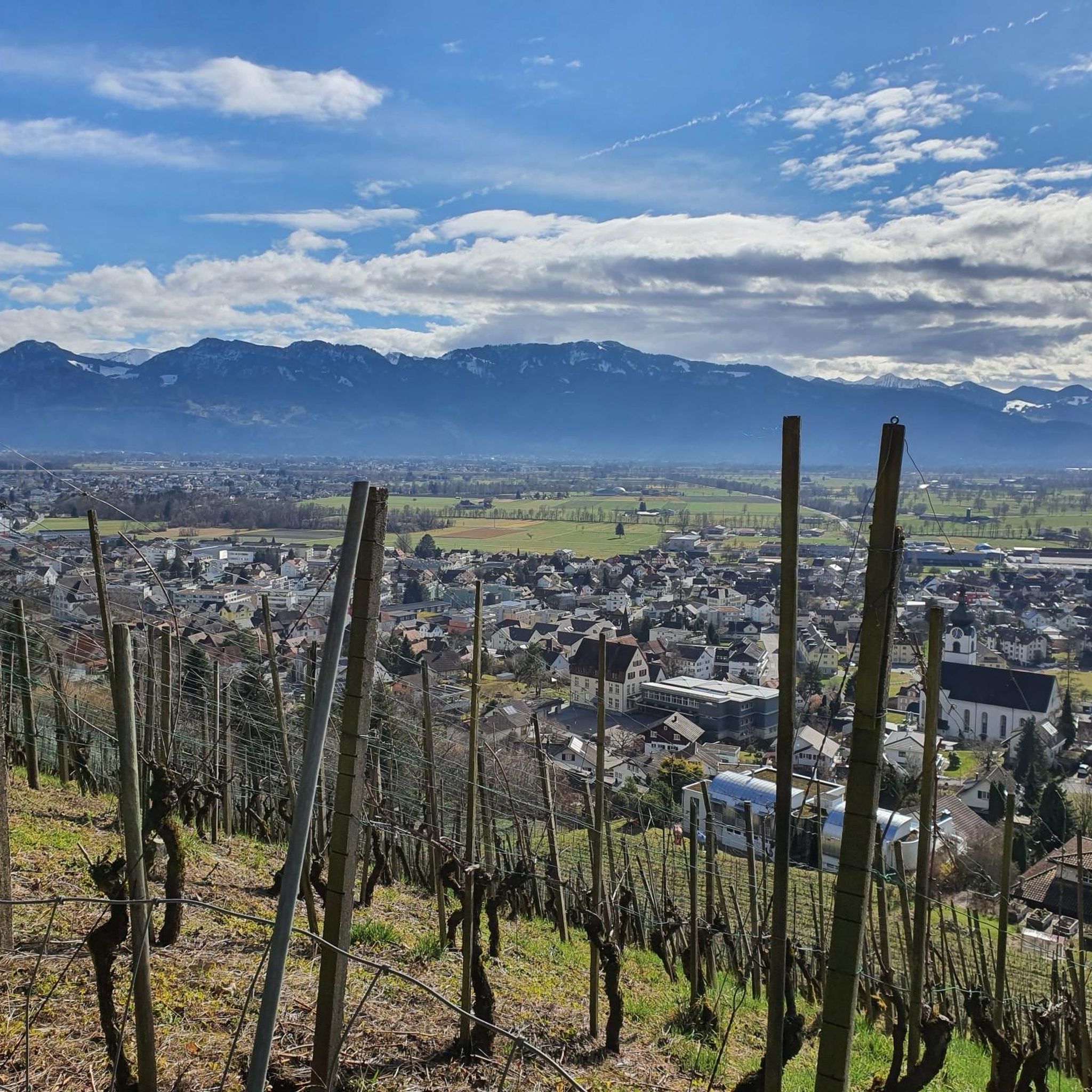
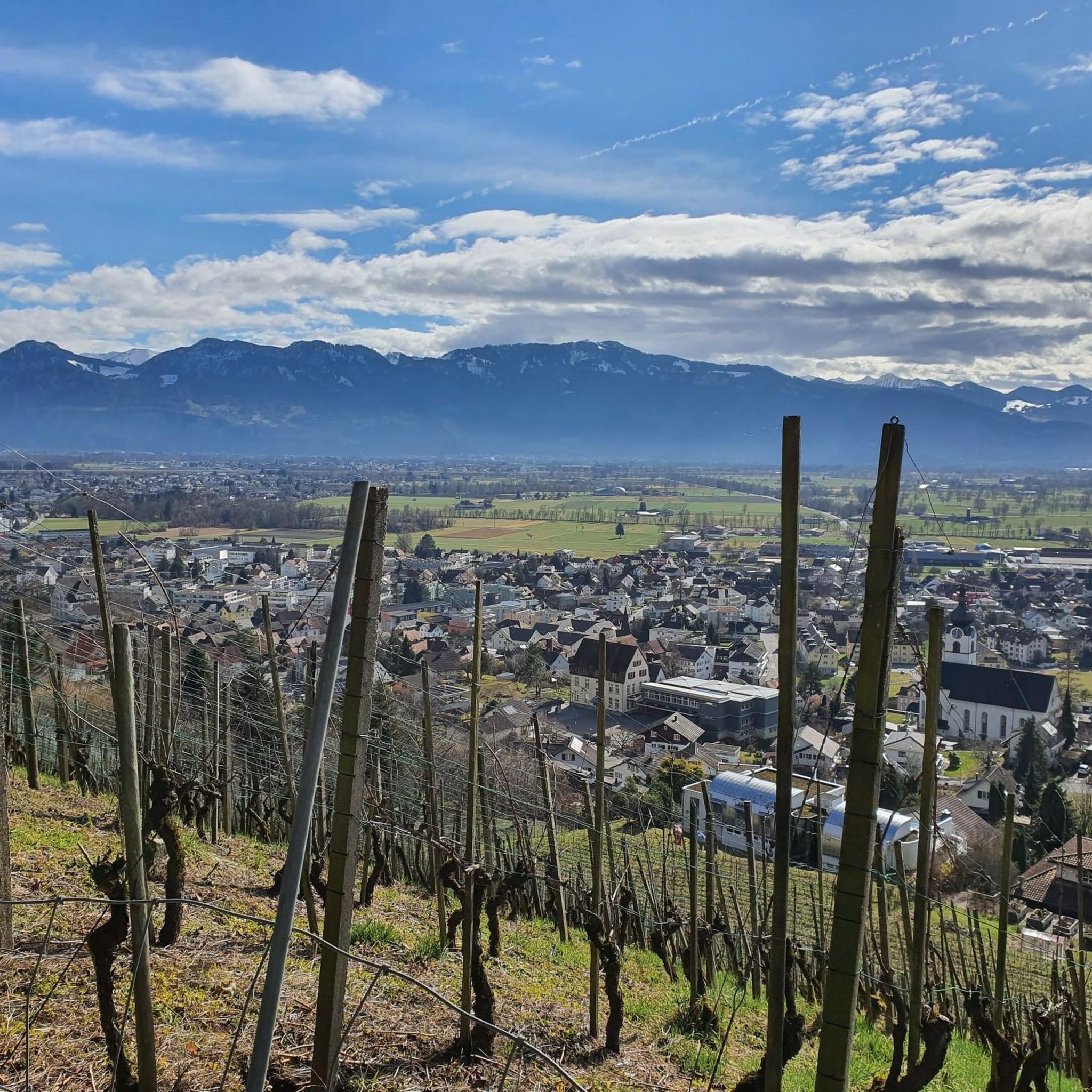
Great Alp with terrace, definitely worth a visit.
8
0
What a view from the Kapf, 1153 m above sea level. The Kapf is a 1153 m high mountain in the Bregenzerwald Mountains. It is located near the town of Hohenems. From the summit, there are views of the Rhine Valley and Lake Constance. It is located in the Hohe Kugel - Hoher Freschen - Mellental nature reserve. Source: https://de.m.wikipedia.org/wiki/Kapf_(Bregenzerwaldgebirge)
9
0
The Witeleloch was first described in a newspaper article around 1907 by archaeologist and amateur geologist Gero von Merhart, who used the name Elisabethhöhle. In 1922, the cave was described by Josef Blumrich, a teacher from Bregenz. The cave has been designated a geological natural monument since April 1979. Source: https://de.m.wikipedia.org/wiki/Witeleloch
8
0

The world-class nut peaks are ONLY available up there, because they are a special production ‼️
0
0
The nut peaks in Gsohl are world class and because they are a special production, they are ONLY available there ‼️
1
0

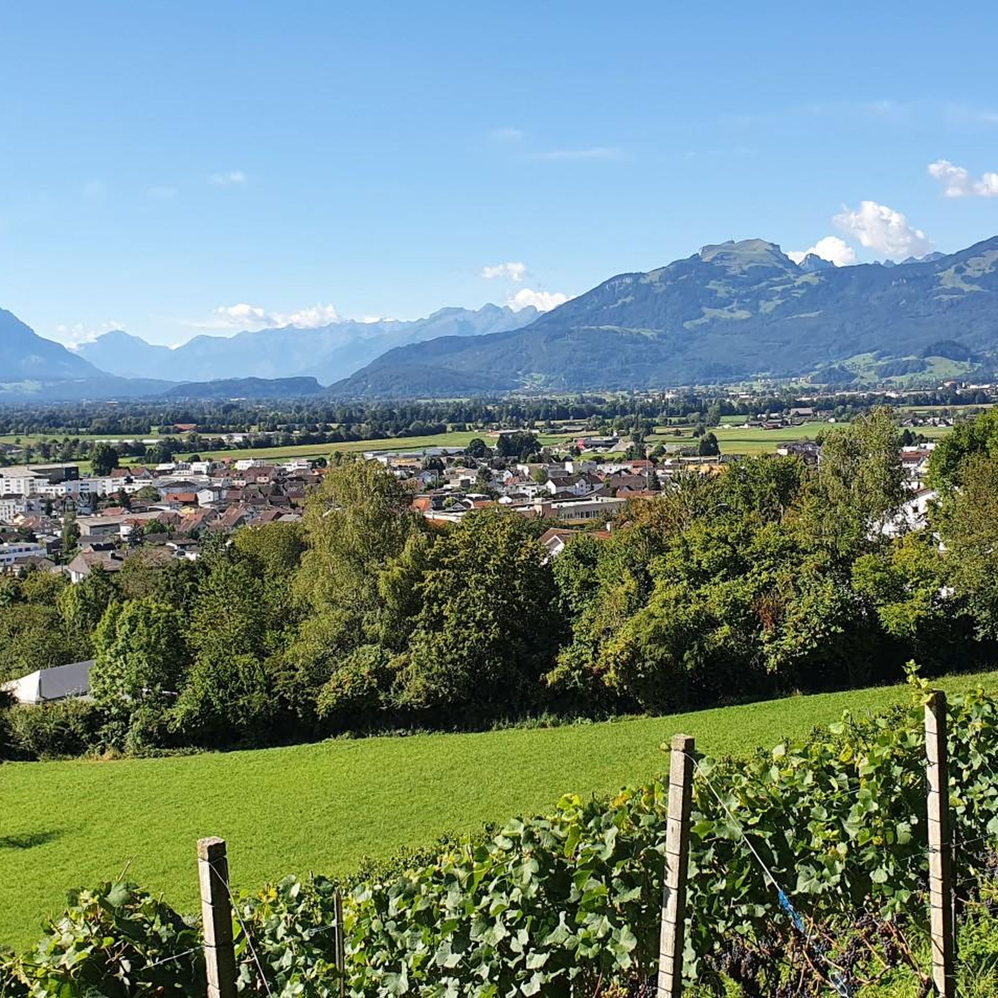
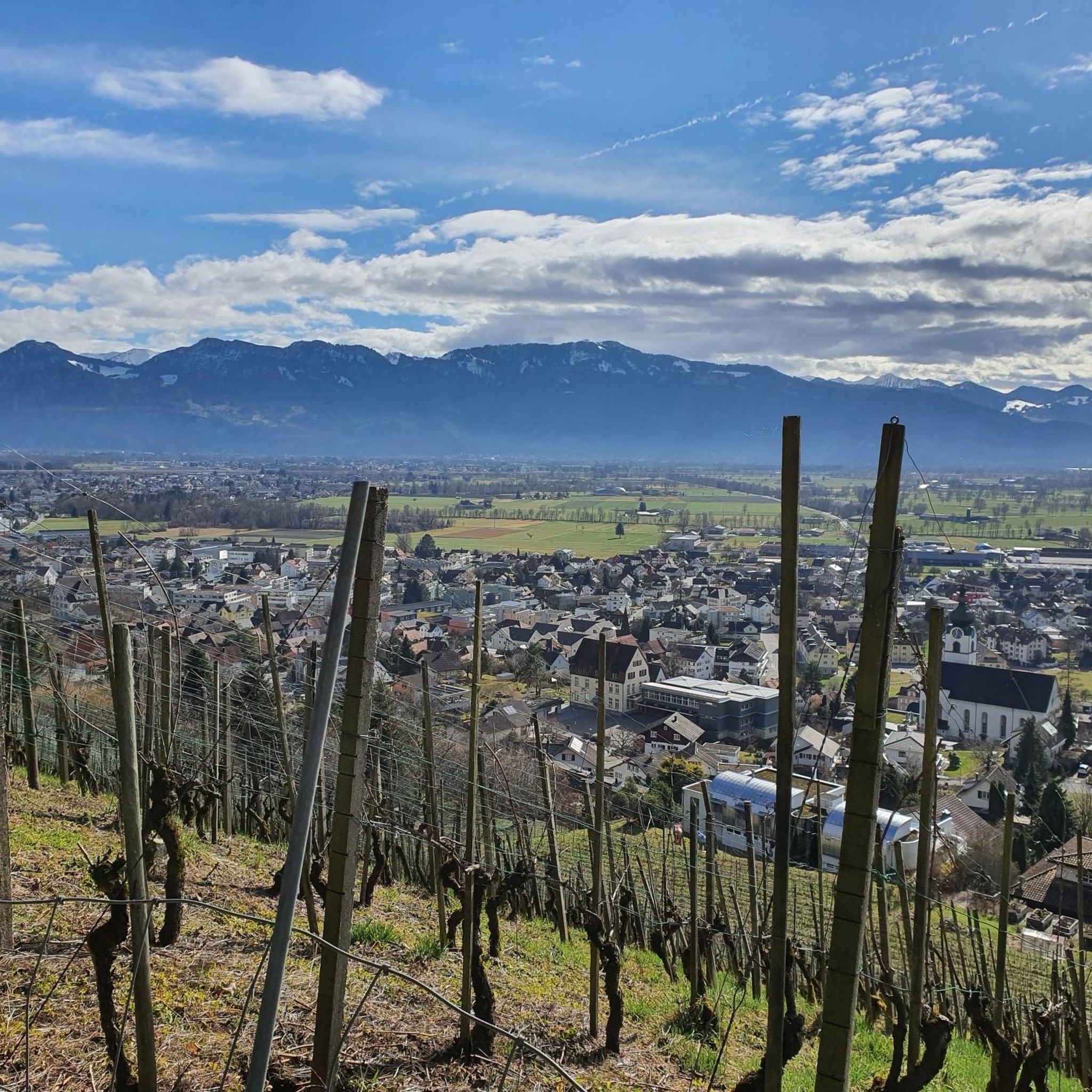
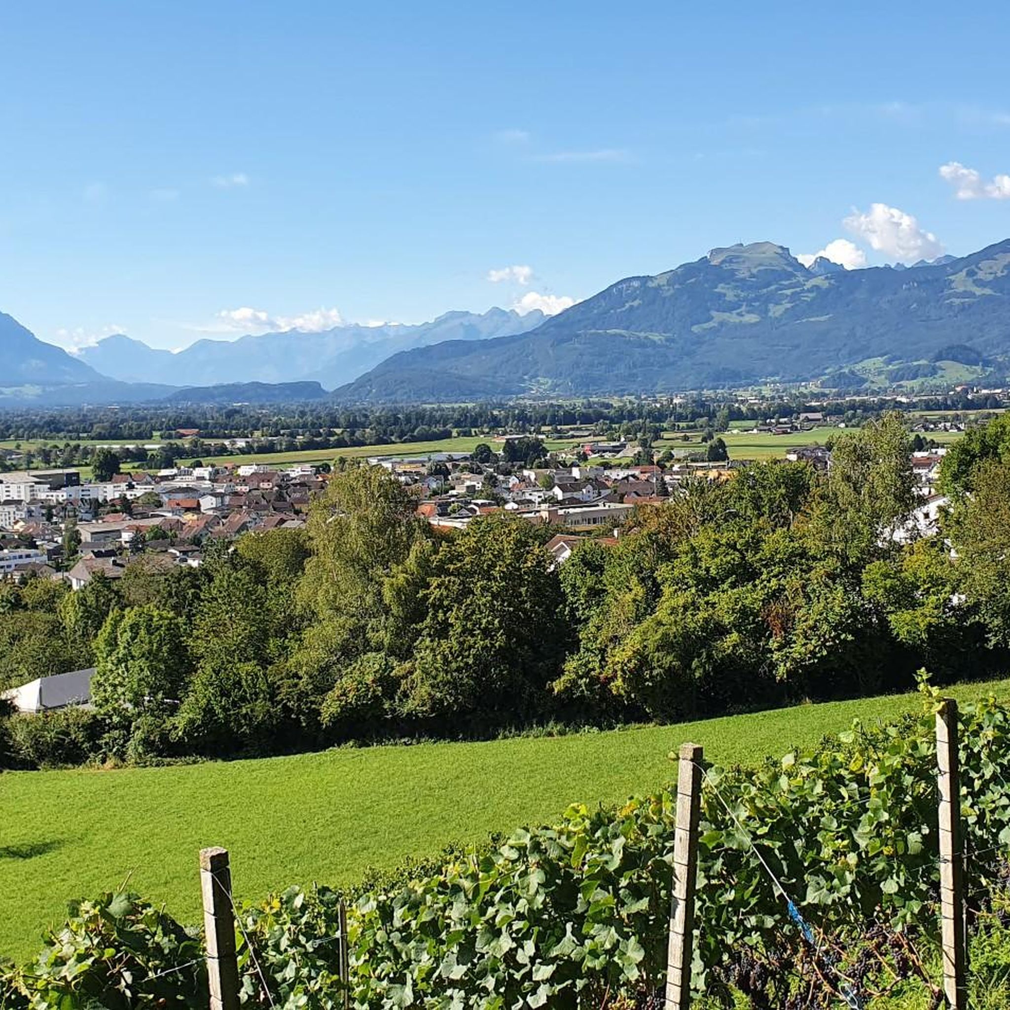
Always a great destination with a great view over the Rhine Valley 🥰
3
0
Great hut with a beautiful view of the Rhine Valley. Definitely worth a visit 😉.
5
0
Frequently Asked Questions
How challenging are the mountaineering routes around Balgach?
The mountaineering routes around Balgach are generally considered challenging, with 13 out of 14 routes rated as 'difficult'. They often involve significant elevation gains and demand good fitness, sure-footedness, and alpine experience. For example, the Hohe Kugel Summit (1,645 m) – Emser Hut loop from Hohenems covers 16.7 km with over 1200 meters of ascent.
Are there any circular mountaineering routes in the Balgach area?
Yes, many of the mountaineering routes around Balgach are circular, allowing you to return to your starting point. Popular options include the Kapfweg Cliffside Staircase – Kapf Summit Cross loop from Götzis and the Bepposteig – Emsbach Trail loop from Hohenems, both offering varied alpine terrain and rewarding views.
What kind of panoramic views can I expect on these routes?
The region is renowned for its breathtaking panoramic views. Routes often lead to prominent summits like the Hohe Kugel (1,645 m) or the Kapf, offering expansive vistas across Lake Constance, the Rhine Valley, and into Swiss, Austrian, German, and Liechtenstein territories. You'll experience diverse landscapes from mountain forests to open alpine areas.
Are there any routes suitable for beginners or families?
While most routes are classified as 'difficult' and require alpine experience, there is one 'moderate' route available: the Spallenhof Beer Tap – Via Kapf via ferrata loop from Spallenhof. This shorter route might be more approachable for those with less experience or families seeking a less strenuous mountain walk, though it still involves some elevation.
What is the best time of year to go mountaineering in Balgach?
The best time for mountaineering in Balgach is generally during the warmer months, from late spring to early autumn, when trails are clear of snow and weather conditions are more stable. Always check local weather forecasts before heading out, as alpine conditions can change rapidly.
Are there any notable natural features or attractions to look out for along the routes?
Absolutely. Beyond the stunning mountain views, you might encounter the Hohe Kugel summit, which is part of the large Hohe Kugel - Hoher Freschen - Mellental nature reserve. The Karren Viewing Platform also offers spectacular vistas. The region's diverse vegetation zones, from vineyards to high moorland, are also a highlight.
What do other mountaineers say about the routes in Balgach?
The routes in Balgach are highly regarded by the komoot community, with an impressive average score of 5.0 stars from over 20 reviews. Mountaineers often praise the challenging terrain, the rewarding panoramic views, and the immersive experience in the Rhine Valley's alpine environment.
How many mountaineering routes are available around Balgach?
There are 14 distinct mountaineering routes available around Balgach, offering a variety of challenging alpine hiking experiences. These routes have been explored by over 200 mountaineers using komoot.
Are there any routes that offer a mix of terrain, like vineyards or forests?
Yes, the region offers a diverse range of terrain. While many routes ascend through mountain forests, the broader Rheintaler Höhenweg (Rhine Valley High Trail), which traverses the region, is known for showcasing varied landscapes including vineyards, orchards, high moorland, and forests, providing a rich and varied hiking experience.
Are there any specific safety considerations for mountaineering in this region?
Given that many routes are classified as 'difficult' and require alpine experience, it's crucial to be well-prepared. This includes having good fitness, sturdy shoes, and being sure-footed. Always check weather conditions before you start, carry appropriate gear, and inform someone of your planned route and expected return time.
Can I bring my dog on these mountaineering routes?
While many trails in the Alps are dog-friendly, it's always best to check specific route regulations. For challenging alpine hikes, ensure your dog is fit enough for the terrain and duration, and always keep them on a leash, especially in nature reserves or near livestock. Be mindful of potential steep sections or areas requiring sure-footedness.
Are there opportunities for public transport to reach the trailheads?
Balgach is situated in a well-connected region. While specific public transport links to every trailhead may vary, Swiss and Austrian public transport networks are generally excellent. It's advisable to research bus or train connections to the starting points of your chosen routes, such as Götzis or Hohenems, which are common starting points for tours like the Bremaries Trail – Emsbach Trail loop from Hohenems.
Most popular routes around Balgach
Most popular attractions around Balgach

Get inspired with the komoot mobile app


Explore more
Browse the best Mountain Hikes & Routes in other regions.
