The best mountain hikes around Altstätten
4.8
(130)
1,056
hikers
66
hikes
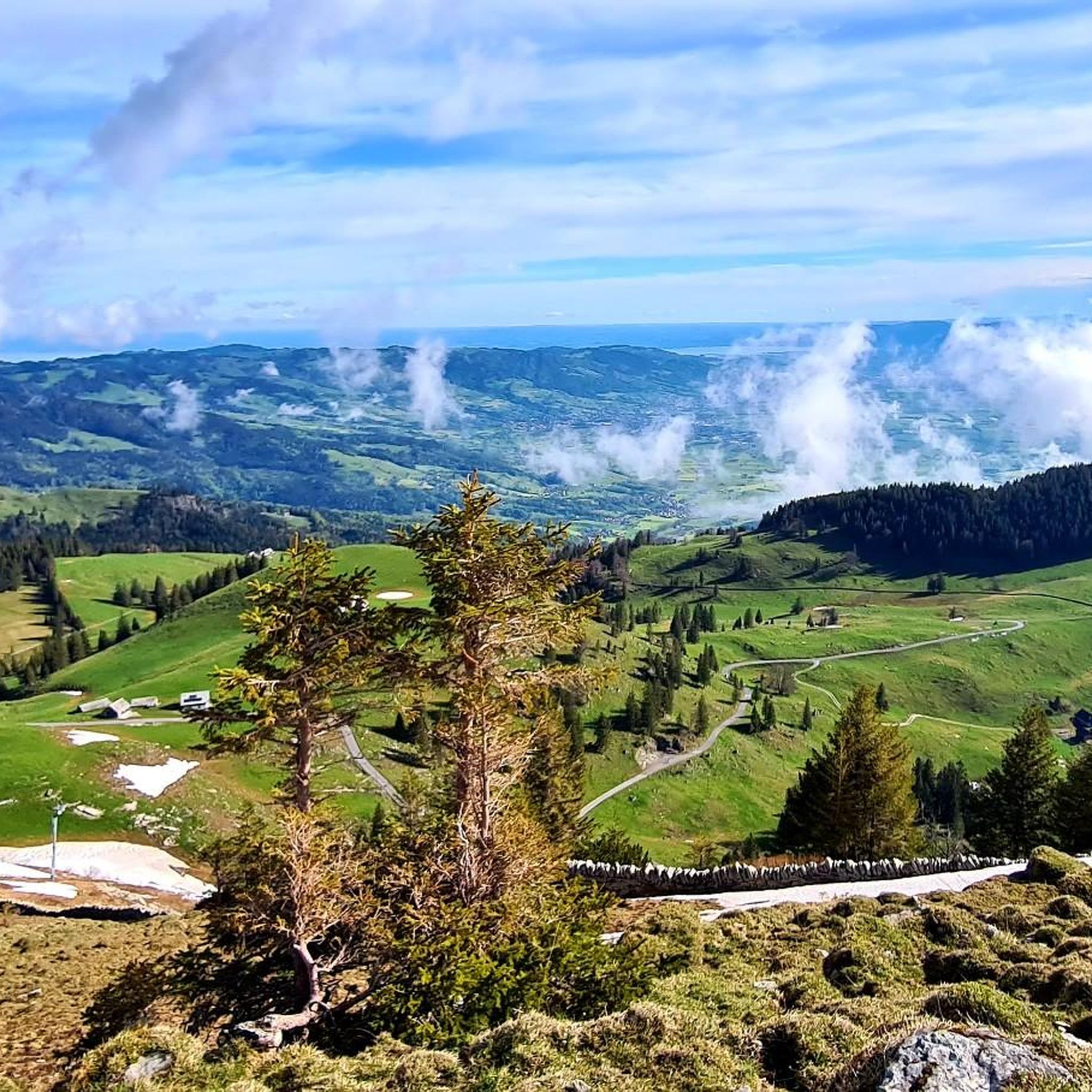
Mountaineering around Altstätten offers access to diverse alpine terrain within the Wahlkreis Rheintal. The region is characterized by significant elevation changes, leading to high mountain passes, prominent summits, and deep valleys. Alpine lakes and mountain inns are common features along many routes, providing points of interest and shelter. The landscape transitions from forested lower slopes to exposed rocky ridges and peaks, presenting varied challenges for mountaineers.
Best mountaineering routes around Altstätten
- The most popular mountaineering route is Bollenwees Mountain Inn…
Last updated: August 16, 2026
4.8
(10)
66
hikers
18.4km
07:12
1,050m
1,050m
Hard mountaineering route. Very good fitness required. Sure-footedness, sturdy shoes and alpine experience required.
28
hikers
12.0km
04:47
830m
830m
Moderate mountaineering route. Good fitness required. Mostly accessible paths. Sure-footedness required.

Sign up for free
5.0
(1)
20
hikers
9.09km
04:30
820m
820m
Hard mountaineering route. Good fitness required. Sure-footedness, sturdy shoes and alpine experience required.
4.3
(3)
18
hikers
9.02km
04:26
740m
740m
Hard mountaineering route. Good fitness required. Sure-footedness, sturdy shoes and alpine experience required.
4.3
(3)
20
hikers
10.7km
04:47
810m
810m
Hard mountaineering route. Good fitness required. Sure-footedness, sturdy shoes and alpine experience required.
Get access to more routes and recommendations from other explorers.
Sign up for free
Already have an account?
Our route recommendations are based on thousands of hikes, rides, and runs completed by other people on komoot.
Start today with a free account
Your next adventure awaits.
Login or Signup
Popular around Altstätten
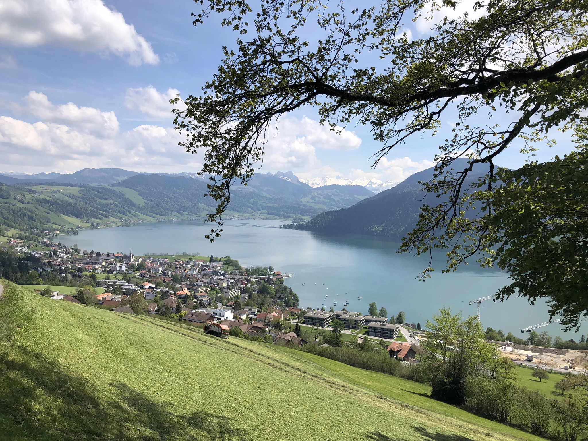
The Herzroute – Cycling through the heart of Switzerland

Lake and Alps Adventure – explore 100 dreamy places in our cycling region!
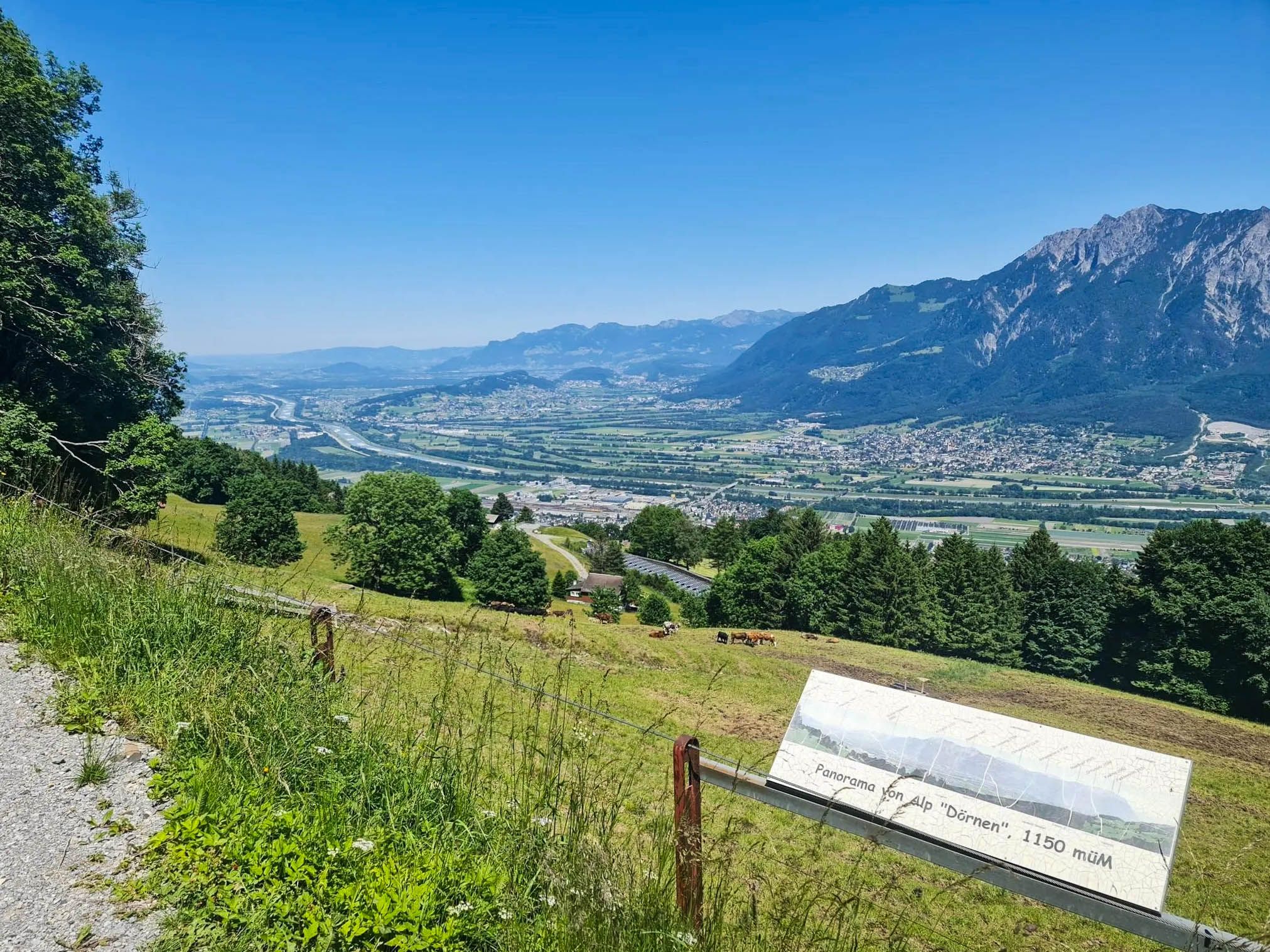
Castles, wine and three-country views – Rhine Valley High Trail
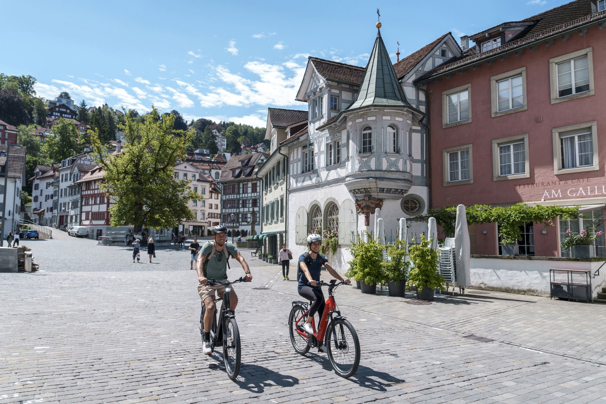
Four wonderful bike rides around St. Gallen and Lake Constance
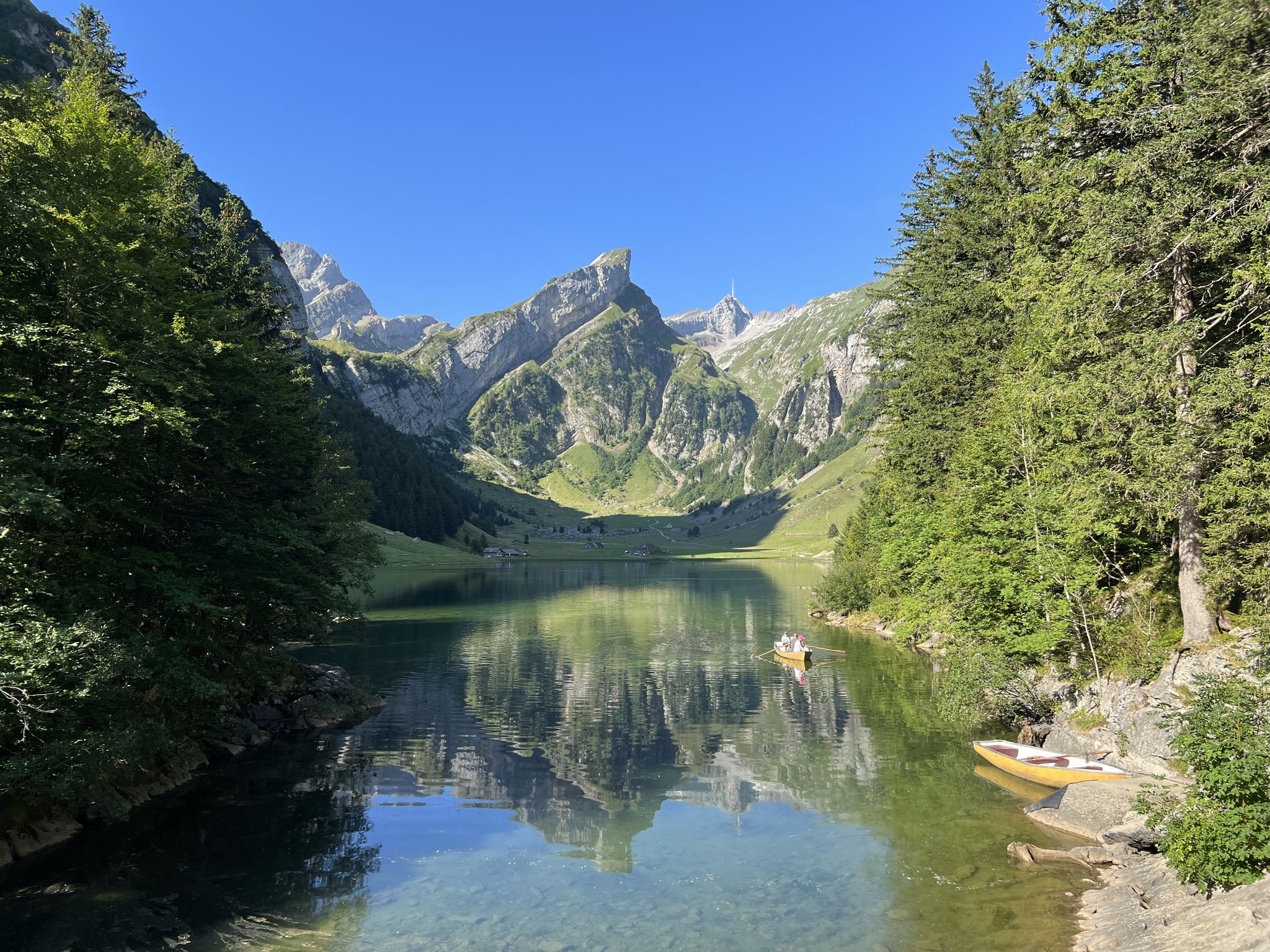
Exciting day hikes in Switzerland’s Alpstein
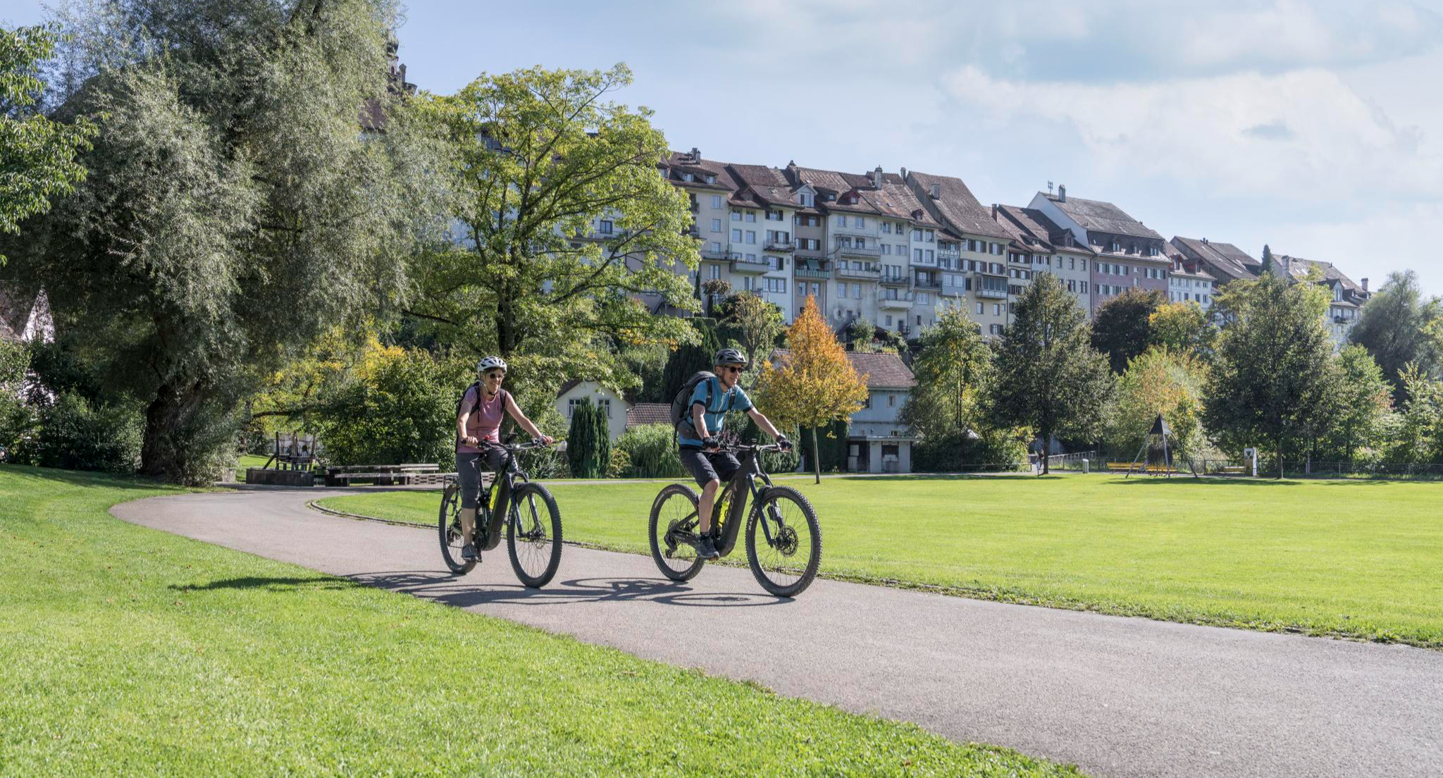
E-Bike-Touren für jedes Niveau in der Region St.Gallen-Bodensee
Cycling around Altstätten
Hiking around Altstätten
MTB Trails around Altstätten
Road Cycling Routes around Altstätten
Other adventures around Altstätten


Tips from the Community

On the descent from Hohen Kasten, there is no longer any indication of where the path runs towards Bürzelalpe. Further down, you see a trough for the cows to drink from. This is the first landmark. From there, the path is clearly visible. A local told me that this path is no longer maintained and is also no longer on the maps. There were also no markings anymore. However, the path was clearly recognizable all the way down to the valley. And with the Komoot app, the path was clear anyway. The end is brutal. After descending 1,200 meters in altitude, you have to climb steeply again by approx. 200 meters in altitude to the parking lot at the bottom. And that in the midday sun. This is not only sweaty, but you have to fully motivate yourself again after more than 5 hours. But you can manage that too😎
0
0

The Saxer Lücke (approx. 1,670 m above sea level) is a striking rocky notch in the Alpstein between the cantons of Appenzell Innerrhoden and St. Gallen. It is one of the best-known viewpoints in Eastern Switzerland and offers a spectacular view of the jagged rock peaks, the Rhine Valley, and the Vorarlberg Alps. The Saxer Lücke is accessible via well-maintained mountain hiking trails, including from the Staubern mountain inn or from Frümsel. The traverse between Staubern and Hohen Kasten is particularly popular. In summer, the impressive landscape and alpine flora are a draw, while in autumn, seas of fog in the Rhine Valley often create unforgettable panoramas.
6
1

Mega view, all along the ridge
0
0

The Roselnalphütte is located at 1767m.
5
0

According to the canton of Appenzell AI, biking is prohibited throughout the Alpstein region (only the AI area). However, this is legally controversial and, to my knowledge, is currently being clarified or defined in more detail....
2
0
Description: A relatively easy trail with a few sections that require caution, both during the ascent and the descent. It’s a nice route for those who enjoy moderate hiking without technical difficulties, but attention is needed in some steeper or uneven parts. Ideal for a short adventure close to nature. Why I recommend it: This route is perfect for beginners or casual hikers who want a bit of challenge without being overwhelmed. The views are rewarding, and the trail offers a nice balance between ease and small moments of focus.
0
0

The climb up is a joy, easily managed thanks to the excellent protection.
3
0
Just walk up and see for yourself...
7
2
Frequently Asked Questions
How many mountaineering routes are available around Altstätten?
There are over 70 mountaineering routes around Altstätten, offering a wide range of experiences. These include 22 moderate and 49 difficult trails, catering to various skill levels.
What kind of terrain can I expect on mountaineering routes near Altstätten?
Mountaineering around Altstätten offers diverse alpine terrain within the Wahlkreis Rheintal. You'll encounter significant elevation changes, leading to high mountain passes, prominent summits, and deep valleys. The landscape transitions from forested lower slopes to exposed rocky ridges and peaks, providing varied challenges.
Are there routes suitable for beginners or those seeking less challenging climbs?
While many routes are challenging, there are 22 moderate mountaineering routes available around Altstätten. These routes still offer an alpine experience but with a less demanding technical grade. For example, the Kamor Summit loop from Rüte is a moderate trail leading through alpine pastures.
What are some challenging alpine climbs near Altstätten?
For those seeking a challenge, Altstätten offers 49 difficult mountaineering routes. A notable option is the Hoher Kasten summit loop from Rüte, which provides a demanding ascent to the summit with extensive views.
What do other mountaineers say about the routes in Altstätten?
The routes in Altstätten are highly rated by the komoot community, with an average score of 4.9 stars from over 150 reviews. Mountaineers frequently praise the challenging alpine climbs, scenic viewpoints, and the routes connecting various mountain inns.
Are there circular mountaineering routes in the Altstätten area?
Yes, many mountaineering routes around Altstätten are designed as loops, allowing you to start and finish at the same point. An example is the Descent in the Chimney loop from Rüte, which offers a challenging circular experience.
What is the best time of year for mountaineering around Altstätten?
The best time for mountaineering in the Altstätten area is typically from late spring to early autumn (June to September), when the trails are generally free of snow and weather conditions are more stable. Always check local weather forecasts and trail conditions before heading out, especially for higher elevations.
Are there options for food and drink along the routes?
Yes, mountain inns are common features along many routes in the Altstätten region, providing opportunities for refreshments and shelter. For instance, the popular Bollenwees Mountain Inn – Staubern Mountain Inn loop from Hoher Kasten connects two prominent mountain inns.
What scenic viewpoints can I find on mountaineering routes near Altstätten?
Mountaineering routes around Altstätten offer numerous scenic viewpoints. You can enjoy expansive vistas from summits like Hoher Kasten Summit, or take in the beauty of alpine lakes such as Seealpsee and Fählensee, which are often encountered along the trails.
Are there any interesting natural landmarks or attractions to see along the routes?
Absolutely. The region boasts several natural and historical landmarks. You might encounter the unique Aescher-Wildkirchli Mountain Inn built into a cliff, or explore the fascinating Wildkirchli Caves. The area also features stunning alpine lakes like Seealpsee and Fählensee.
Are there any historical sites or unique structures accessible from the trails?
Yes, beyond natural beauty, you can discover unique historical sites. The Wildkirchli Chapel (St. Michael’s Cave Chapel) is a remarkable religious building nestled within a cave. Additionally, the Wichenstein Cave Castle Ruin offers a glimpse into the region's past.
Can I bring my dog on mountaineering trails near Altstätten?
Many trails in the Altstätten region are dog-friendly, but it's always advisable to check specific route regulations and local signage. Ensure your dog is well-behaved, kept on a leash where required, and that you carry enough water for both of you. Be mindful of livestock in alpine pastures.
What should I pack for mountaineering in Altstätten?
For mountaineering in Altstätten, essential gear includes sturdy hiking boots, appropriate layered clothing for changing alpine weather, rain gear, a map and compass or GPS device, sufficient water and snacks, a first-aid kit, and sun protection. Depending on the route's difficulty, poles and a headlamp might also be beneficial.
Most popular routes around Altstätten
Most popular attractions around Altstätten

Get inspired with the komoot mobile app


Explore more
Browse the best Mountain Hikes & Routes in other regions.
