The best walks and hikes around Am Salzhaff
4.6
(4045)
17,902
hikers
27
hikes
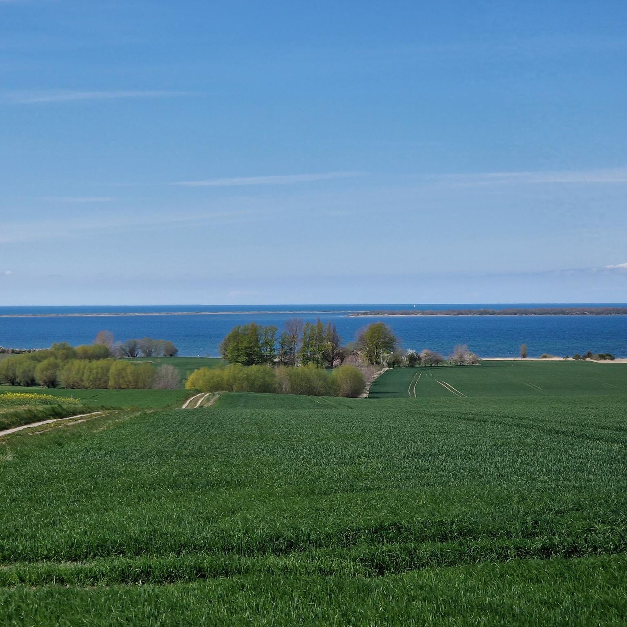
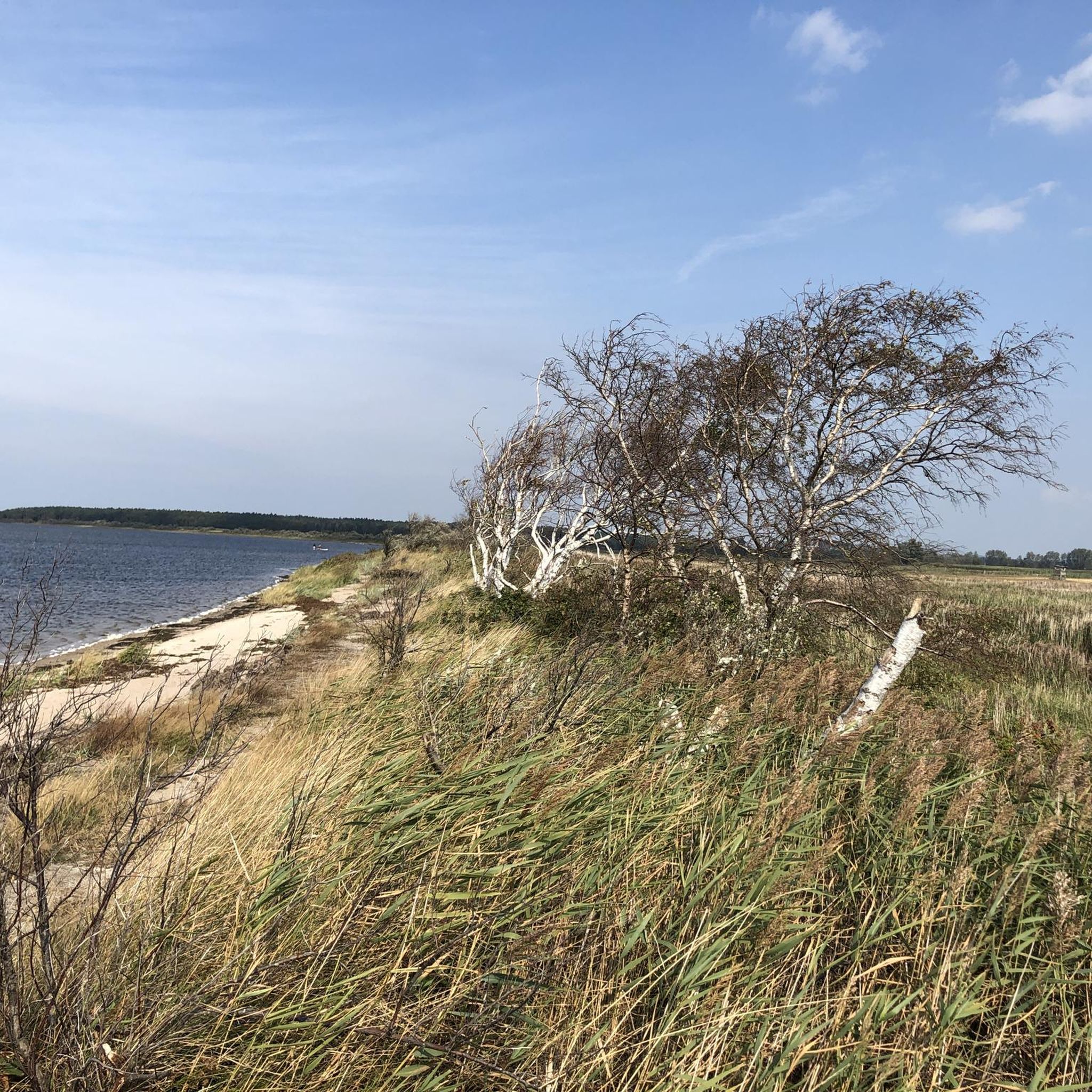
Hiking around Am Salzhaff offers a variety of trails exploring the unique coastal landscape of the Salzhaff lagoon. The region is characterized by its shallow waters, salt meadows, and views of the Baltic Sea. Hikers can expect routes that traverse shorelines, open fields, and small wooded areas, with minimal elevation changes. The terrain is generally flat, making it accessible for various fitness levels.
Best hiking trails around Am Salzhaff
- The most popular hiking route is Salzhaff shoreline – View of…
Last updated: July 8, 2026
4.4
(33)
105
hikers
Moderate hike. Good fitness required. Easily-accessible paths. Suitable for all skill levels.
4.4
(29)
85
hikers
10.1km
02:34
20m
20m
Moderate hike. Good fitness required. Easily-accessible paths. Suitable for all skill levels.

Sign up for free
4.8
(11)
53
hikers
Moderate hike. Good fitness required. Easily-accessible paths. Suitable for all skill levels.
4.4
(9)
54
hikers
Easy hike. Great for any fitness level. Easily-accessible paths. Suitable for all skill levels.
4.8
(17)
48
hikers
25.2km
06:22
50m
50m
Hard hike. Very good fitness required. Easily-accessible paths. Suitable for all skill levels.
Get access to more routes and recommendations from other explorers.
Sign up for free
Already have an account?
Our route recommendations are based on thousands of hikes, rides, and runs completed by other people on komoot.
Start today with a free account
Your next adventure awaits.
Login or Signup
Tips from the Community

The pillar collapsed in winter (2025/2026). Unfortunately, this highlight no longer exists.
0
0

It's probably only good to visit in autumn to spring, as you have to walk through a lot of bushes and reeds.
0
0

A very beautiful coastal hiking trail. Pure nature.
0
0

Beautiful path around the peninsula
0
0

There are many stalls where you can take a break and get something to eat
1
0
The sand sculpture is still standing. 😅 Cool photo spot
2
0
Ideal for a break after a bike or hiking tour
0
0

We were able to watch seals. Soooo great
0
0
Frequently Asked Questions
How many hiking trails are available around Am Salzhaff?
There are over 25 hiking trails in the Am Salzhaff region, offering a diverse range of experiences from easy coastal strolls to more challenging routes. The area is known for its flat terrain and scenic views of the Salzhaff lagoon and the Baltic Sea.
Are there easy or beginner-friendly hiking routes in Am Salzhaff?
Yes, Am Salzhaff is very suitable for beginners and those looking for easy walks. Out of the 27 available routes, 15 are classified as easy. An excellent option is the Baltic Sea Manor at Salzhaff – Sunset over the Salzhaff loop from Boiensdorf, which is 2.5 miles (4.1 km) long and takes about an hour to complete.
What kind of terrain can I expect on the hiking trails around Am Salzhaff?
The terrain around Am Salzhaff is generally flat, characterized by coastal paths, salt meadows, and small wooded areas. You'll find minimal elevation changes, making most trails accessible and enjoyable for various fitness levels. Expect a mix of natural paths and some paved sections, especially near villages.
Are there any circular walks available in Am Salzhaff?
Many of the trails around Am Salzhaff are designed as circular routes, allowing you to start and end at the same point. For example, the Salzhaff shoreline – View of the Salzhaff loop from Klein Strömkendorf is a popular circular trail offering expansive lagoon views.
What are the best viewpoints or scenic spots along the hiking trails?
The region offers numerous scenic viewpoints, primarily overlooking the Salzhaff lagoon and the Baltic Sea. Notable spots include the View of Salzhaff and the View from the Kuhberg over the Salzhaff and the Wustrow Peninsula. The Rerik Pier also provides excellent views over the water.
Are the hiking trails around Am Salzhaff suitable for families with children?
Yes, the generally flat and accessible nature of the trails makes Am Salzhaff a great destination for family-friendly hikes. Many routes are short to moderate in length, perfect for children. The coastal scenery and opportunities to spot local wildlife add to the family appeal.
Can I bring my dog on the hiking trails in Am Salzhaff?
Most hiking trails around Am Salzhaff are dog-friendly, but it's always recommended to keep your dog on a leash, especially in nature reserves, near livestock, or in populated areas. Be mindful of local regulations and ensure you clean up after your pet.
What interesting landmarks or attractions can I explore near the hiking routes?
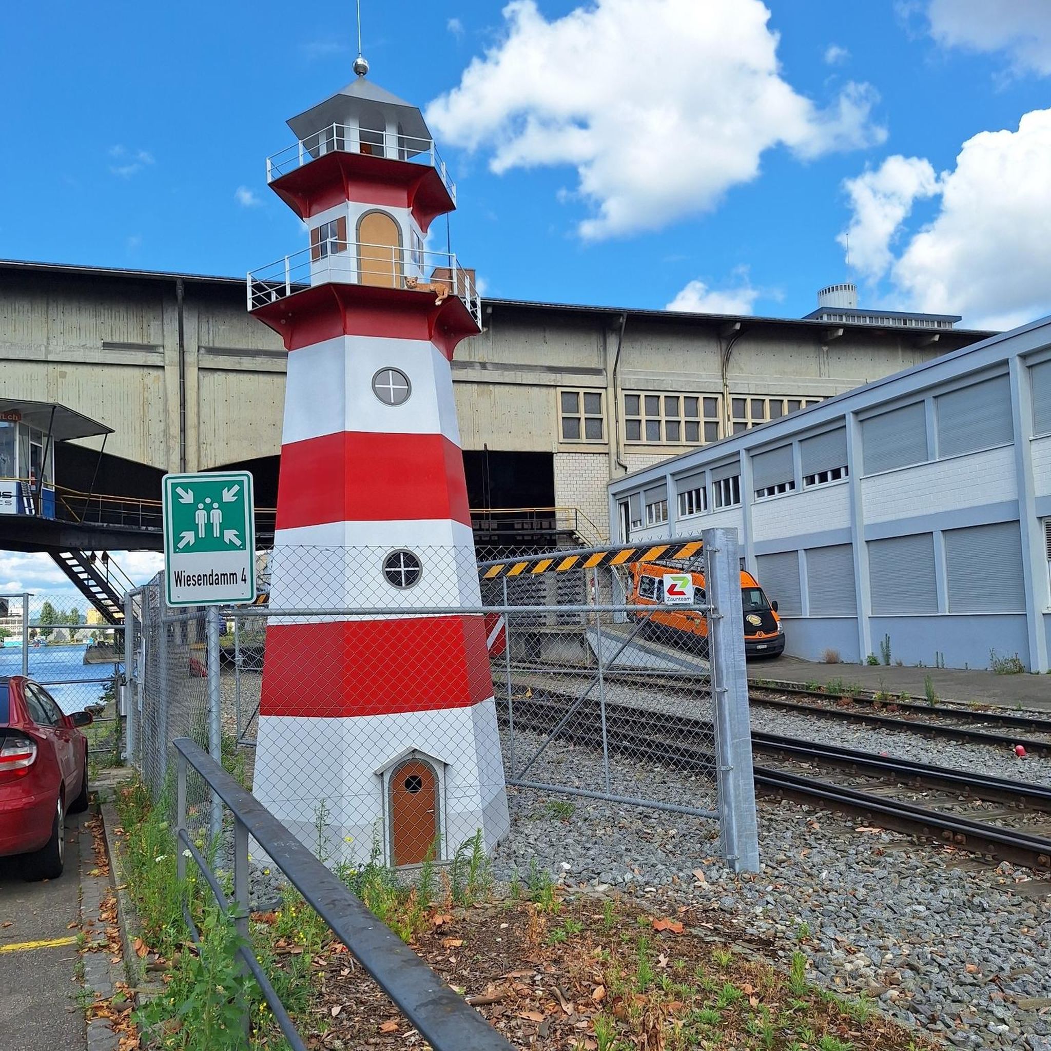
Beyond the natural beauty, you can discover several interesting landmarks. Consider visiting the Buk Lighthouse for panoramic views, or stroll along the Rerik Pier. The Sculpture Path at Salzhaff also offers a unique cultural experience along the coast.
What is the best season for hiking in Am Salzhaff?
Am Salzhaff is enjoyable year-round, but the spring and autumn months offer particularly pleasant hiking conditions with mild temperatures and fewer crowds. Summer is popular for combining hiking with beach activities, while winter can provide a serene, crisp experience, especially along the frozen lagoon edges.
Are there any longer, more challenging hikes in the region?
While many trails are easy to moderate, Am Salzhaff does offer some longer options for those seeking a greater challenge. The Rerik Haff Promenade – Rerik Fishing Harbor loop from Am Salzhaff is a difficult 15.6-mile (25.1 km) route that takes over 6 hours to complete, providing an extensive exploration of the coastline.
What do other hikers enjoy most about hiking in Am Salzhaff?
The area is highly rated by the komoot community, with an average score of 4.7 stars from over 900 reviews. Hikers often praise the stunning coastal views, the peaceful atmosphere of the salt meadows, and the well-maintained, accessible paths that make it enjoyable for all skill levels.
Is public transport available to access hiking trailheads in Am Salzhaff?
Public transport options, primarily local bus services, connect some of the villages and towns around Am Salzhaff, which can provide access to various trailheads. It's advisable to check local bus schedules in advance, especially for routes reaching smaller, more remote starting points.
Most popular routes around Am Salzhaff
Most popular attractions around Am Salzhaff

Get inspired with the komoot mobile app


Explore more
Browse the best Hikes in other regions.
