The best running trails around Aiti
3.8
(8)
286
runners
7
runs
Jogging routes around Aiti traverse a landscape characterized by high mountains, lush forests, and river valleys. The region's terrain offers a variety of environments for physical activity, from challenging mountain paths to more moderate trails. Runners can expect routes that feature significant elevation changes and natural beauty. The diverse geography provides opportunities for varied running experiences across Aiti.
Best jogging routes around Aiti
- The most popular jogging route is Mount San Petrone loop from La Porta, an 8.0 miles…
Last updated: November 12, 2026
74
runners
11.3km
01:40
530m
530m
Hard run. Very good fitness required. Sure-footedness, sturdy shoes and alpine experience required.
28
runners
Moderate run. Good fitness required. Mostly paved surfaces.

4.0
(1)
11
runners
10.7km
01:21
260m
260m
Moderate run. Good fitness required. Mostly paved surfaces.
8
runners
10.5km
02:03
860m
860m
Hard run. Very good fitness required. Sure-footedness, sturdy shoes and alpine experience required.
8
runners
17.0km
02:12
460m
460m
Hard run. Very good fitness required. Mostly paved surfaces.
Get access to more routes and recommendations from other explorers.
Already have an account?
Our route recommendations are based on thousands of hikes, rides, and runs completed by other people on komoot.
Start today with a free account
Your next adventure awaits.

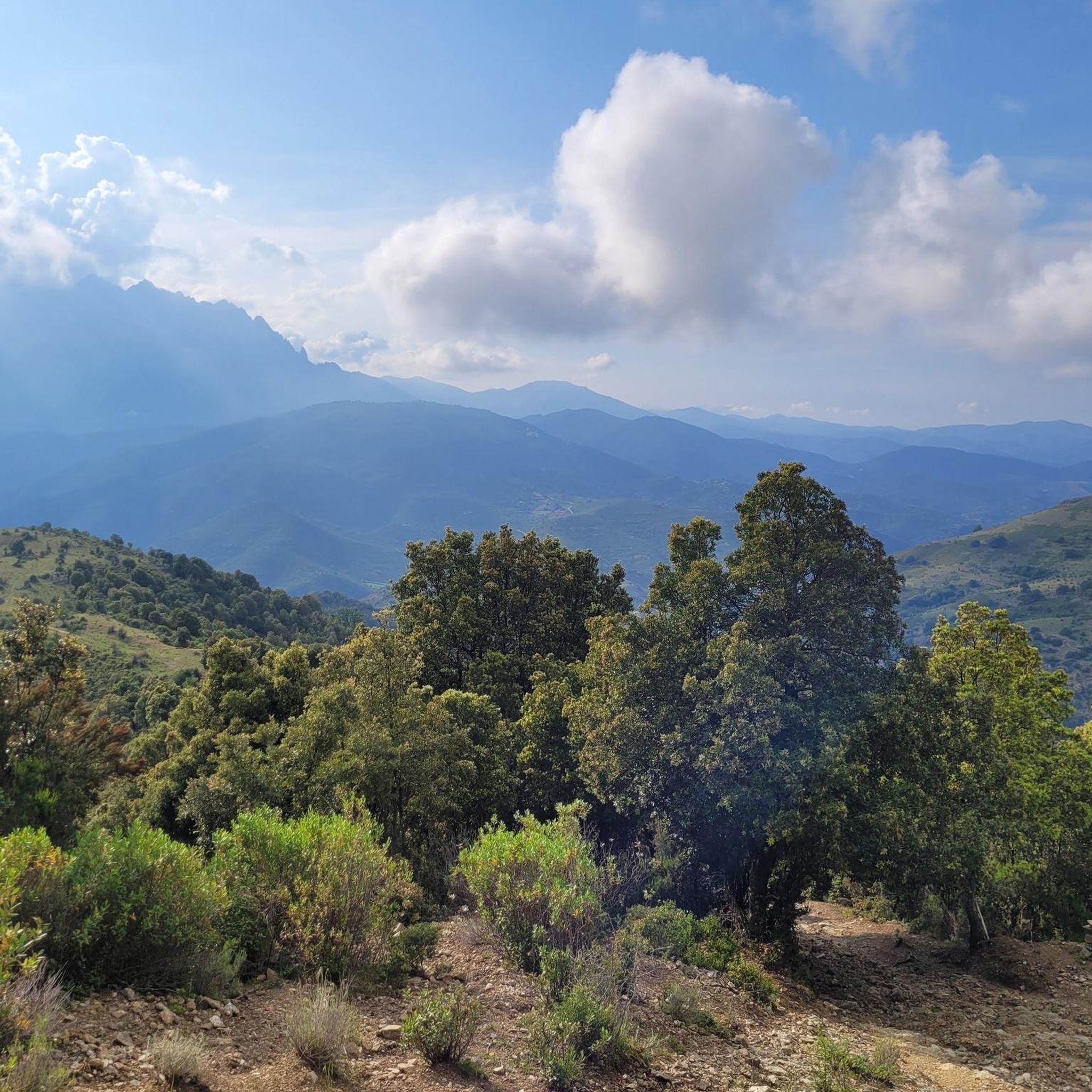
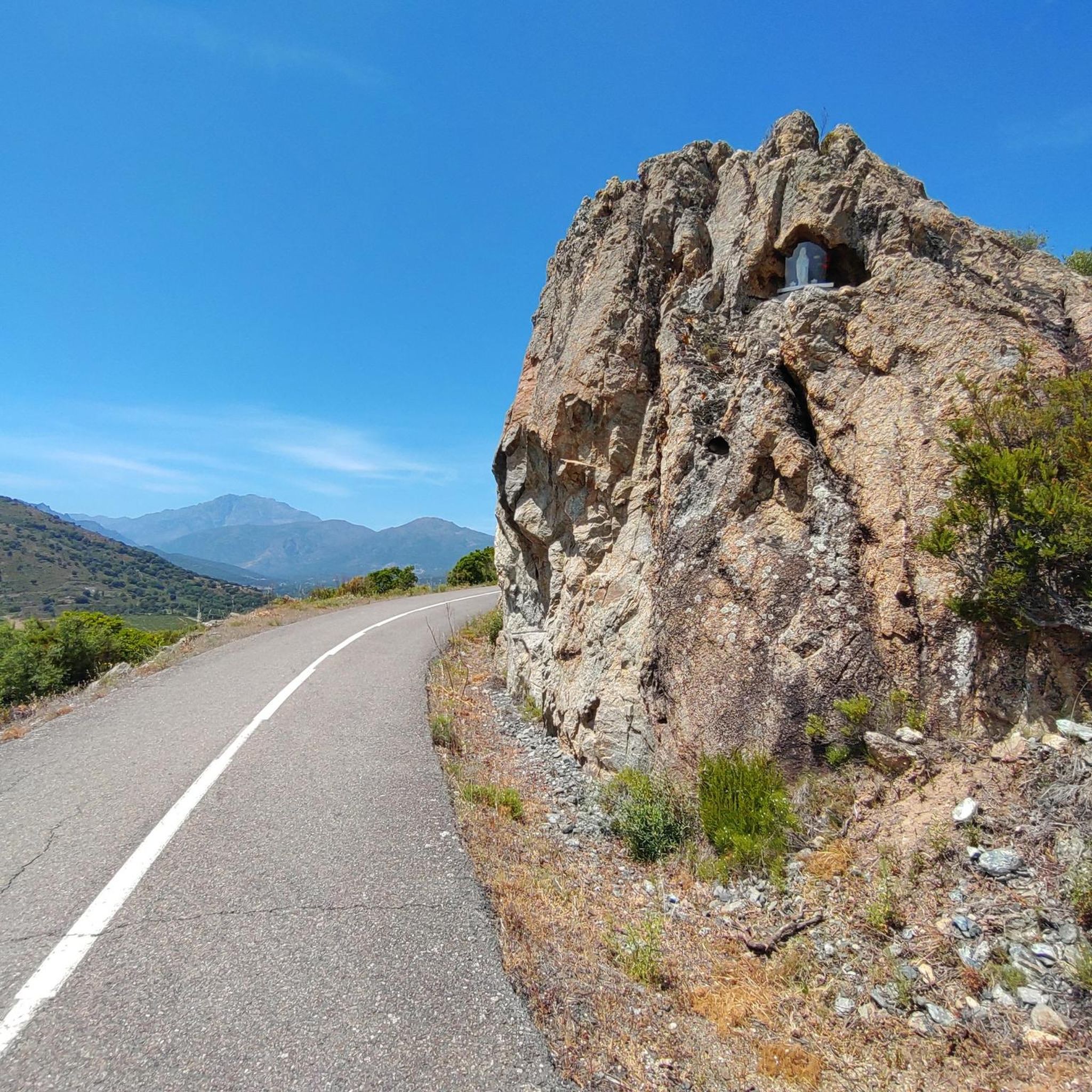

Tips from the Community

Pleasantly warm and yet wonderfully refreshing. 🏊🏼♂️
0
0

Access via a campsite. But it is also possible from the outside.
0
0

The hike to the summit in pictures https://youtu.be/WeNIHwlX3ao
1
1

A wonderful and well-marked circular hike to the summit of San Petrone. At 1767m, Monte San Petrone is the highest peak in the Castagniccia region. Castagniccia stands for the Corsican name 'chestnut grove' and covers the hilly area between Bastia and Aleria in the east of Corsica. The last ascent is again intense and well attended, I hardly met any people on my circular hike. But apparently there is still a not so intense way to the summit that comes from the north and brings some visitors with it.
2
0

Great view from the summit. We sat here for a long time, ate something and enjoyed the unique view!
0
0
From here take another run-up and you're already up!
1
1
High through the woods and over meadows ... streams everywhere!
0
0

You should still enjoy the shade. The later course of the tour is in the blazing sun.
1
0
Frequently Asked Questions
What kind of terrain can I expect on running trails around Aiti?
Jogging routes around Aiti primarily feature mountainous terrain, lush forests, and river valleys. The region, often called the 'land of high mountains,' offers diverse environments from challenging mountain paths with significant elevation changes to more moderate trails through varied landscapes. You'll find opportunities for trail running in areas like the Massif de la Selle and Massif de la Hotte, known for their rugged beauty and extensive trails.
Are there any challenging running routes for experienced runners in Aiti?
Yes, Aiti offers several challenging routes. For instance, the Mount San Petrone loop from La Porta is an 8.0-mile (12.9 km) difficult trail with substantial elevation gain, taking about 2 hours 7 minutes to complete. Another difficult option is the Orezza cloister ruin – Orezza Monastery Ruins loop from Piedipartino, a 9.7-mile (15.7 km) path that leads through historical sites and varied terrain.
Can I find running routes with scenic viewpoints in Aiti?
Absolutely. Aiti's mountainous landscape naturally provides many scenic viewpoints. Routes often offer expansive views, especially those with significant elevation. For specific points of interest, you might encounter highlights like Above Corte or View of the Valley from Zucca Rello, which are known for their panoramic vistas.
Are there any running trails that pass by waterfalls or natural pools?
Yes, Aiti's natural beauty includes stunning waterfalls and natural pools. While specific routes may vary, you can find highlights such as Struccia Waterfall and the Natural Pools on the Fiume Tavignano. The region is also home to renowned spots like Bassin Bleu and Saut-Mathurine waterfall, which can be rewarding destinations after a run.
What do other runners say about the jogging experience in Aiti?
The running routes in Aiti are highly rated by the komoot community, with an average score of 3.75 stars from over 7 reviews. More than 200 runners have used komoot to explore Aiti's varied terrain, often praising the challenging mountain paths, the natural beauty, and the opportunities to discover historical sites along the way.
Are there any moderate or shorter running loops available in Aiti?
Yes, Aiti offers options for different ability levels, including moderate loops. The Running loop from Tizzarella is a moderate 4.1-mile (6.6 km) trail, typically completed in about 53 minutes. Another moderate option is the Bathing area by the bridge – Asco Gorges loop from Réserve biologique dirigée de Valdo, which is 12.7 km long.
Can I find running routes that are circular in Aiti?
Many of the popular running routes in Aiti are designed as loops, offering a convenient circular experience. Examples include the Mount San Petrone loop from La Porta, the Orezza cloister ruin – Orezza Monastery Ruins loop from Piedipartino, and the Running loop from Tizzarella.
What kind of historical sites or landmarks can I see while running in Aiti?
Aiti's running routes can lead you through areas rich in history and culture. You might encounter historical sites such as the Orezza Monastery Ruins, which is part of a challenging running loop. The region also features other points of interest like The Steps of Santa Regina.
Are there any national parks in Aiti suitable for trail running?
Yes, Haiti (Ayiti) is home to several national parks that are excellent for outdoor activities, including trail running. Pic Macaya National Park offers a rugged landscape with virgin cloud forest, ideal for adventurous trail runners. La Visite National Park, located in the Massif de la Selle, provides a different experience with pine forests and open plateaus, offering flexible trail distances.
What are the general characteristics of the running routes in Aiti?
The running routes in Aiti are defined by their mountainous terrain, river gorges, and the presence of historical sites. They offer a variety of experiences, from moderate loops to more difficult mountain trails, catering to different fitness levels. The region's natural beauty, including lush forests and significant elevation changes, is a consistent feature across many routes.
How many running routes are available to explore in Aiti?
There are several running routes available in Aiti. Komoot currently lists 4 distinct routes, with a total of over 200 runners having used the platform to explore the area. These routes offer a mix of moderate and difficult options, ensuring a varied experience for joggers.
Most popular attractions around Aiti

Get inspired with the komoot mobile app


Explore more
Browse the best Running Trails & Routes in other regions.
