The best road cycling routes around Muracciole
4.2
(36)
654
riders
20
rides
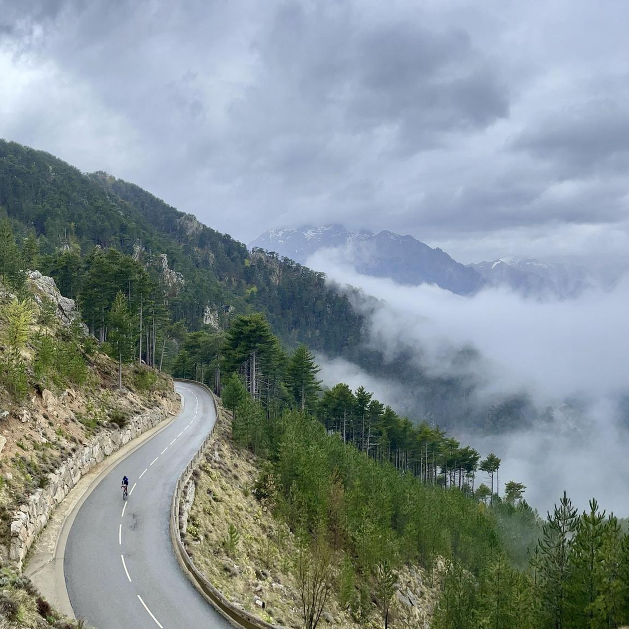
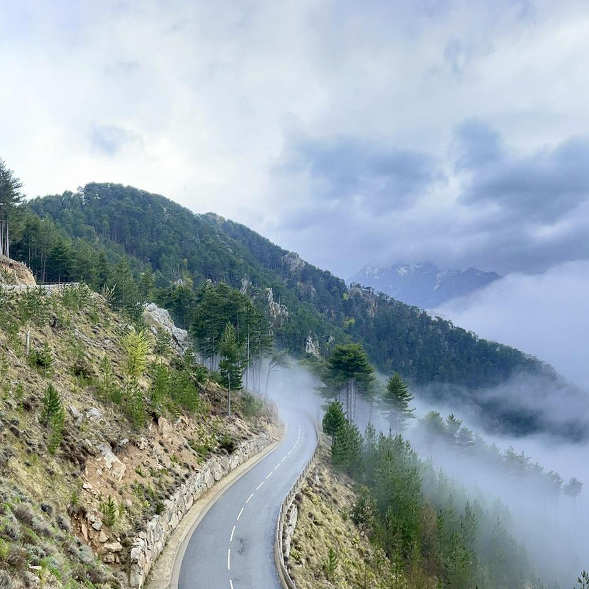
Road cycling routes around Muracciole are situated in the mountainous region of Haute-Corse, France, characterized by altitudes ranging from 379 meters to 1565 meters. This varied topography provides road cyclists with significant ascents and descents. The commune is located within the Parc Naturel Régional de Corse and the Rospa-Sorba Forest, offering a preserved natural environment with challenging terrain.
Best road cycling routes around Muracciole
- The most popular road cycling route is Col of Sorba and Erbajo, a 38.9 miles…
Last updated: August 22, 2026
5.0
(7)
149
riders
62.6km
03:48
1,690m
1,690m
Hard road ride. Very good fitness required. Mostly well-paved surfaces and easy to ride.
5.0
(7)
142
riders
63.7km
04:02
1,720m
1,720m
Hard road ride. Very good fitness required. Mostly well-paved surfaces and easy to ride.

Sign up for free
5.0
(2)
52
riders
58.1km
03:11
1,190m
1,190m
Hard road ride. Very good fitness required. Some segments of this route may be unpaved and difficult to ride.
5.0
(1)
27
riders
34.9km
02:24
1,200m
1,200m
Hard road ride. Very good fitness required. Mostly well-paved surfaces and easy to ride.
17
riders
74.1km
04:41
2,130m
2,130m
Hard road ride. Very good fitness required. Mostly well-paved surfaces and easy to ride.
Get access to more routes and recommendations from other explorers.
Sign up for free
Already have an account?
Our route recommendations are based on thousands of hikes, rides, and runs completed by other people on komoot.
Start today with a free account
Your next adventure awaits.
Login or Signup

Tips from the Community

Beautiful view of Corte.
0
0


Instead of pasta, paninis, and cakes, they serve entrecôte and salad. Not for cyclists or hikers.
0
0

This charming 16th-century village is surrounded by the Marmanu and Sorba forests. The village once marked the end of the long Mare è Monti Livantinu hiking trail. The route now extends to Vivario. Don't miss the Neptune Fountain in the village center.
0
0


The Vecchio rises on the Monte d'Oro and is initially called Agnone. This river is best known for its Cascades des Anglais, which attract hundreds of tourists every day in high season. From the hamlet of Vizzavona onwards, the river is called Vecchio and you only meet very few people. Shortly after entering Canaglia, it joins the Manganello. Here the Vecchio valley becomes very lonely. On the right-hand side, far above the riverbed, the railway line winds its way along the hills, barely visible. You don't notice the busy T20, which lies behind the hills. You only see it when you get off at the Ponte Vecchio. High above us, it crosses the Vecchio valley on the new bridge. Later, the Vecchio flows into the Tavignano, which reaches the sea near Aléria.
1
0

Corte is a city well worth seeing. The citadel towers above everything.
0
0

a smal restaurant and a small shop with local products
0
0
Frequently Asked Questions
How many road cycling routes are available around Muracciole?
There are over 15 road cycling routes around Muracciole, offering a variety of challenges and scenic beauty. These routes are primarily categorized as moderate to difficult, reflecting the mountainous terrain of the region.
What is the typical difficulty level for road cycling in Muracciole?
Road cycling routes around Muracciole are generally considered moderate to difficult. The region's mountainous setting, with altitudes ranging from 379 meters to 1565 meters, means routes feature significant ascents and descents, appealing to cyclists seeking a challenge. For example, routes like Col of Sorba and Erbajo involve substantial elevation gain.
Are there any circular road cycling routes in Muracciole?
Yes, Muracciole offers several excellent circular road cycling routes. A popular option is the Col de Sorba — loop in the lands, which provides sustained climbing and panoramic views. Another notable circular route is the Nuceta Bridge – Altiani Bridge loop from Venaco, leading through varied mountainous terrain.
What natural features can I expect to see along the road cycling routes?
Road cycling routes in Muracciole immerse you in the stunning natural landscapes of the Parc Naturel Régional de Corse and the Rospa-Sorba Forest. You'll encounter wild, mountainous scenery, dense forested areas providing shade, and dramatic elevation changes. The region is also known for its beautiful waterfalls, such as the English Falls and Meli Waterfall, which can be points of interest during your ride.
What are some notable landmarks or viewpoints accessible by road bike?
Beyond the natural beauty, cyclists can enjoy historical and cultural landmarks. The village of Muracciole itself features the Renaissance-style Château de Muracciole and the parish church of the Assumption. For stunning vistas, many routes offer panoramic views across the central Corsican mountains, especially from higher passes. You might also encounter highlights like Monte Renoso or Palmentu Pass, which are prominent peaks in the area.
What is the best time of year for road cycling in Muracciole?
The best time for road cycling in Muracciole is generally during the spring and autumn months. These seasons offer milder temperatures and less extreme weather conditions, making the challenging ascents more enjoyable. Summer can be very warm, especially at lower altitudes, while winter may bring colder temperatures and potential snow at higher elevations, impacting accessibility on some routes.
Are there any family-friendly road cycling routes in Muracciole?
Given the mountainous and challenging terrain of Muracciole, most road cycling routes are geared towards experienced riders due to significant elevation changes. There are no routes specifically classified as easy or family-friendly in the immediate vicinity. Cyclists with families might consider exploring flatter sections of roads if available, or look for dedicated cycling paths in nearby, less mountainous areas.
What do other road cyclists enjoy most about road cycling in Muracciole?
The road cycling experience in Muracciole is highly rated by the komoot community, with an average score of 4.4 stars from over 20 reviews. Cyclists frequently praise the challenging terrain, the stunning natural beauty of the Parc Naturel Régional de Corse, and the tranquil environment with minimal traffic, which allows for an immersive riding experience through wild landscapes.
Where can I find parking for road cycling routes in Muracciole?
While specific designated parking for each trailhead isn't detailed, Muracciole is a rural commune. Parking is generally available within the village itself or at various points along the main roads leading into the mountains, often near trailheads or points of interest. It's advisable to check local signage or inquire in the village for the most convenient and safe parking spots before starting your ride.
Are there cafes or restaurants along the road cycling routes in Muracciole?
Muracciole is a small, tranquil village, and while it offers a peaceful rural setting, amenities like cafes and restaurants might be limited directly along the routes. It's recommended to plan your rides to start or end in Muracciole or other nearby villages to access local establishments for refreshments and meals. Always carry sufficient water and snacks, especially on longer rides through remote sections.
Can I use public transport to access road cycling routes in Muracciole?
Public transport options directly to and from Muracciole are limited due to its rural and mountainous location. While there might be regional bus services connecting larger towns in Corsica, direct routes to Muracciole that accommodate bicycles are not common. Most cyclists prefer to arrive by car, allowing for greater flexibility in accessing various starting points for their rides.
Are there any routes that pass through the Rospa-Sorba Forest?
Yes, Muracciole is known as a 'forest village' and is situated within the extensive Rospa-Sorba Forest. Many road cycling routes in the area will take you through this beautiful forest, offering shaded sections and picturesque backdrops. For example, the Fontaine - Fountain – Nuceta Bridge loop from Caselle traverses forested areas, providing a serene cycling experience.
Most popular routes around Muracciole
Most popular attractions around Muracciole

Get inspired with the komoot mobile app


Explore more
Browse the best Road cycling routes in other regions.
