The best mountain hikes around Santo-Pietro-Di-Venaco
4.8
(18)
123
hikers
7
hikes
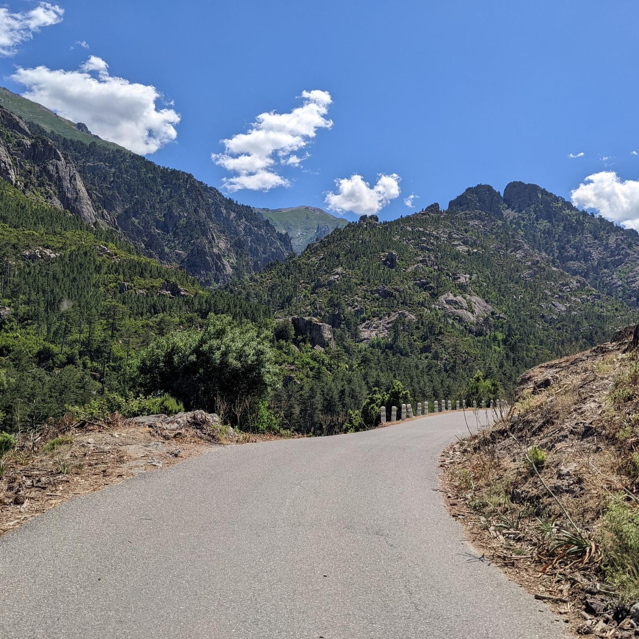
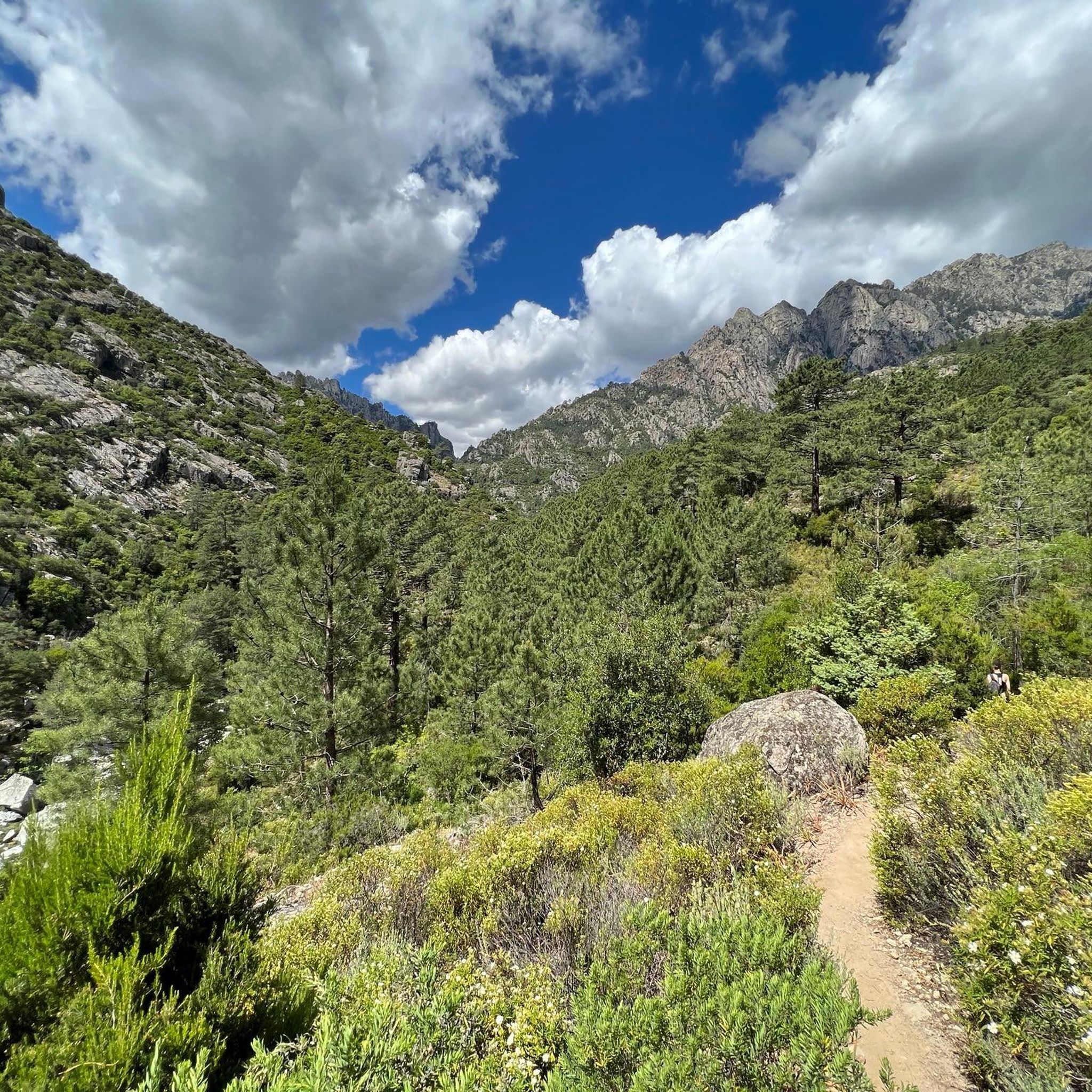
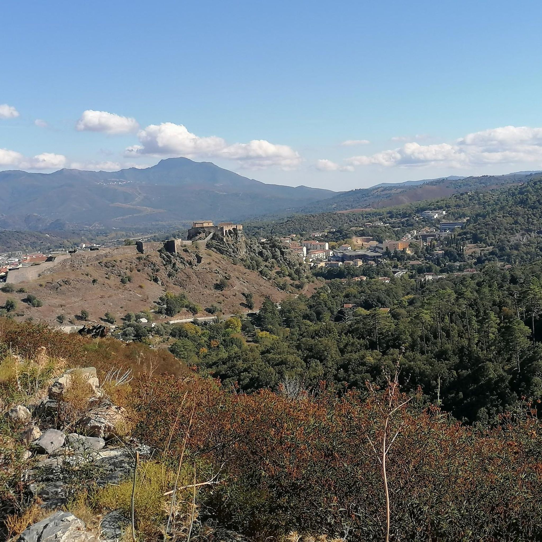
Mountaineering routes around Santo-Pietro-Di-Venaco are set within the mountainous heart of Corsica, characterized by significant elevation changes and rugged terrain. The region features prominent peaks like Monte Cardo and Punta Lattiniccia, offering substantial ascents and rocky sections. Panoramic vistas of the central island, including the Lakes of Capitello and Melo and the Restonica Valley, are common along these routes. The landscape combines challenging alpine environments with areas of diverse flora and natural water features.
Best mountaineering routes around Santo-Pietro-Di-Venaco
- The…
Last updated: August 22, 2026
4.7
(7)
29
hikers
10.3km
05:14
740m
740m
Hard mountaineering route. Very good fitness required. Sure-footedness, sturdy shoes and alpine experience required.
5.0
(4)
39
hikers
20.2km
08:08
1,030m
1,030m
Hard mountaineering route. Very good fitness required. Sure-footedness, sturdy shoes and alpine experience required.

Sign up for free
5.0
(2)
24
hikers
13.6km
08:46
1,520m
1,520m
Hard mountaineering route. Very good fitness required. Sure-footedness, sturdy shoes and alpine experience required.
5.0
(2)
5
hikers
13.2km
06:35
940m
940m
Hard mountaineering route. Very good fitness required. Sure-footedness, sturdy shoes and alpine experience required.
4.0
(2)
16
hikers
4.59km
02:20
340m
340m
Hard mountaineering route. Good fitness required. Sure-footedness, sturdy shoes and alpine experience required.
Get access to more routes and recommendations from other explorers.
Sign up for free
Already have an account?
Our route recommendations are based on thousands of hikes, rides, and runs completed by other people on komoot.
Start today with a free account
Your next adventure awaits.
Login or Signup
Tips from the Community


super pretty mountain tour. is worth a visit.
1
0
Frequently Asked Questions
How many mountaineering routes are available around Santo-Pietro-Di-Venaco?
There are 12 dedicated mountaineering routes around Santo-Pietro-Di-Venaco. The majority of these, 11 out of 12, are rated as difficult, offering significant challenges for experienced mountaineers. There is also one moderate route available.
What kind of terrain can I expect on mountaineering routes in this region?
Mountaineering routes around Santo-Pietro-Di-Venaco are characterized by significant elevation changes and rugged, rocky terrain. You'll encounter high mountain passes, steep ascents, and areas requiring robust footwear and alpine experience. The landscape combines challenging alpine environments with sections featuring diverse flora and natural water features.
Are there any routes that feature waterfalls or natural pools for swimming?
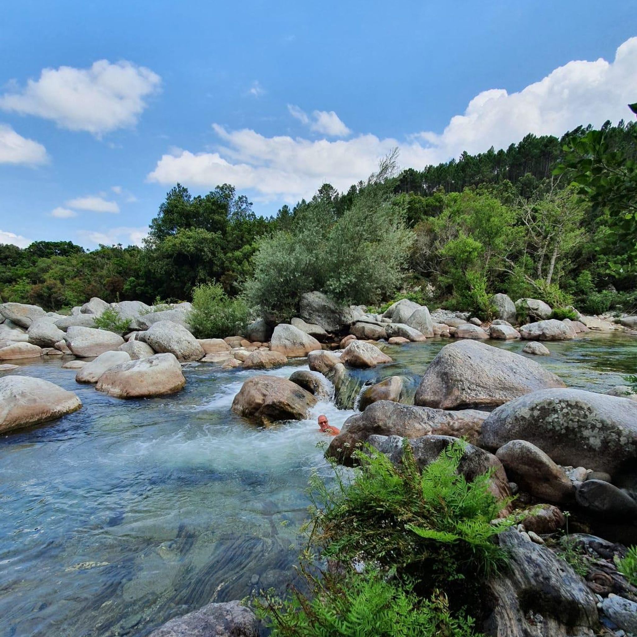
Yes, some routes lead to natural pools and small waterfalls, perfect for a refreshing swim. For example, the moderate route Spring at the Marian Shrine – Bathing pump with waterfall loop from Corte features a natural bathing spot with a waterfall. You can also find highlights like the Meli Waterfall and the Antia Stream Swimming Area in the wider region.
What are some notable landmarks or viewpoints I can discover on these routes?
The region is rich in stunning panoramic views. Many routes offer vistas over the central part of the island, including the picturesque Lakes of Capitello and Melo, and the verdant Restonica Valley. You might also encounter the Arch of Corte or reach the Monte Rotondo Summit. The Chapel of Sant'Eliseu, at 1555 meters, is also a rewarding hiking destination with great views.
Are there any circular mountaineering routes available?
Yes, several routes are designed as loops. For instance, the challenging Climbing by stairs and chains – Lake Capitello loop from Lac de l'Oriente is a popular circular option. Another loop that takes you through high mountain passes is the Brèche de Capitello – Soglia Pass loop from Bergerie de Grotelle.
What do other mountaineers say about the routes in Santo-Pietro-Di-Venaco?
The mountaineering routes in Santo-Pietro-Di-Venaco are highly rated by the komoot community, with an average score of 4.9 stars from over 50 reviews. Mountaineers often praise the challenging alpine environments, the breathtaking panoramic views, and the unique experience of navigating rocky sections and high mountain passes.
Are there any easier mountaineering options for beginners?
While most routes are rated difficult, there is one moderate mountaineering route available: Spring at the Marian Shrine – Bathing pump with waterfall loop from Corte. This route offers a mix of terrain and is a good option for those looking for a less strenuous but still rewarding experience in the region.
Can I find routes that lead to the famous Lakes of Capitello and Melo?
Absolutely. The Lakes of Capitello and Melo are prominent features in the region. You can access them via routes like the challenging Climbing by stairs and chains – Lake Capitello loop from Lac de Melo, which offers stunning views of the lake.
What are the typical durations for mountaineering routes in this area?
The duration of routes varies depending on their length and difficulty. For example, the Climbing by stairs and chains – Lake Capitello loop from Lac de l'Oriente typically takes around 4 hours 36 minutes, while the Brèche de Capitello – Soglia Pass loop from Bergerie de Grotelle often takes about 5 hours 22 minutes to complete.
Are there any routes that offer significant elevation gain for a challenging ascent?
Yes, the region is known for its substantial elevation gains. Peaks like Monte Cardo and Punta Lattiniccia are accessible from the village and offer ascents of up to 1650 meters to Monte Cardo's summit. Many of the difficult routes, such as Climbing by stairs and chains – Lake Capitello loop from Chez Caesar, feature nearly 1000 meters of elevation gain.
What kind of natural features can I expect to see on the trails?
Beyond the dramatic mountainous terrain, you'll find a diverse range of natural features. Some trails wind through a mix of rocks and endemic flora, often accompanied by the gentle murmur of a river. The region is also home to several beautiful waterfalls, such as the Manganello River Cascade and the Abri d’Antia Waterfall.
Most popular routes around Santo-Pietro-Di-Venaco
Most popular attractions around Santo-Pietro-Di-Venaco

Get inspired with the komoot mobile app


Explore more
Browse the best Mountain Hikes & Routes in other regions.
