The best running trails around Vic-Sur-Cère
4.7
(19)
584
runners
35
runs
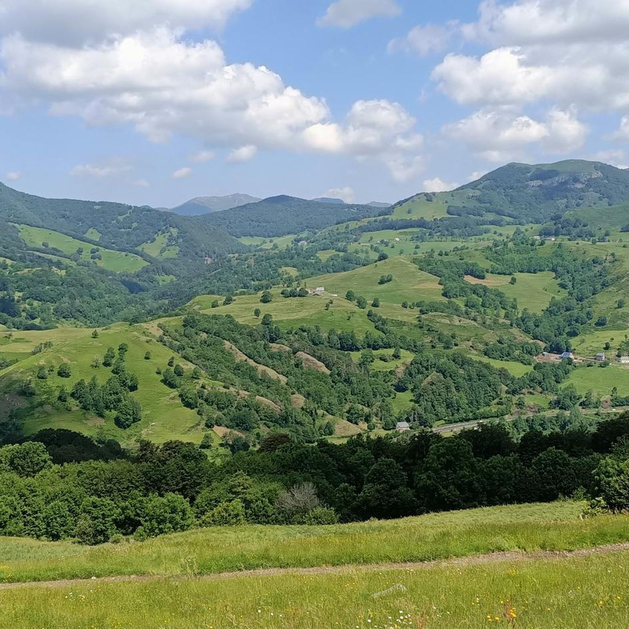
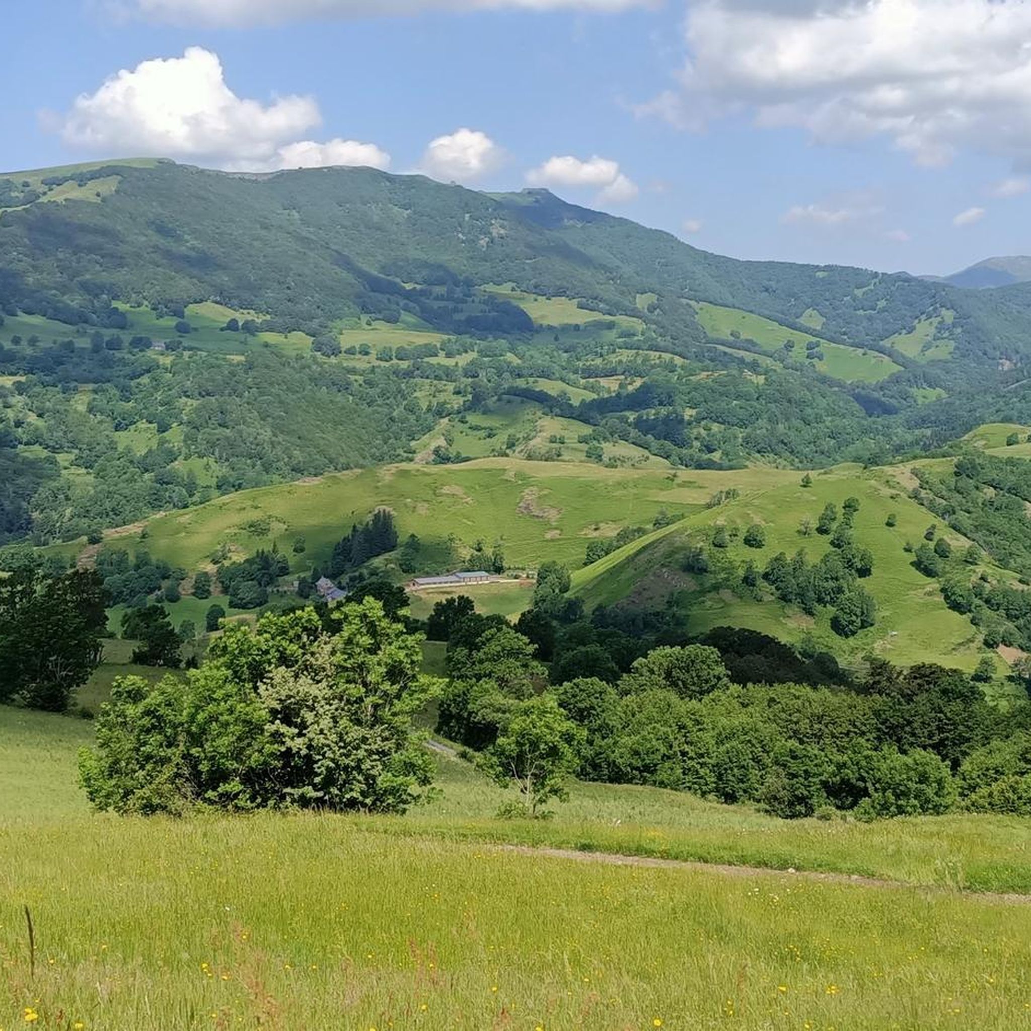
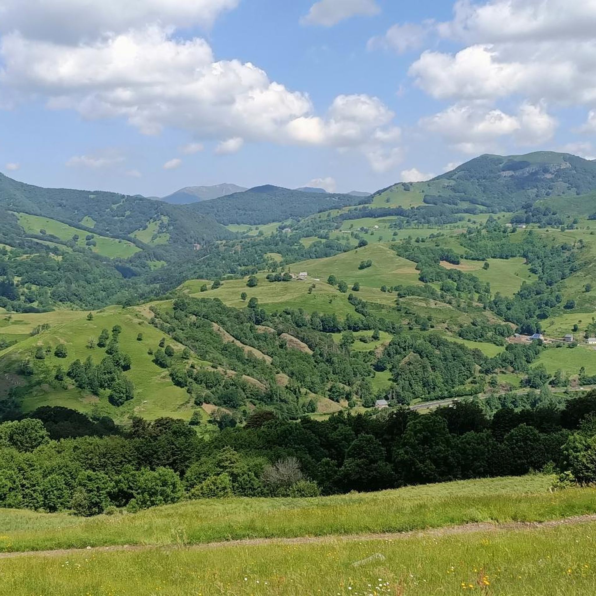
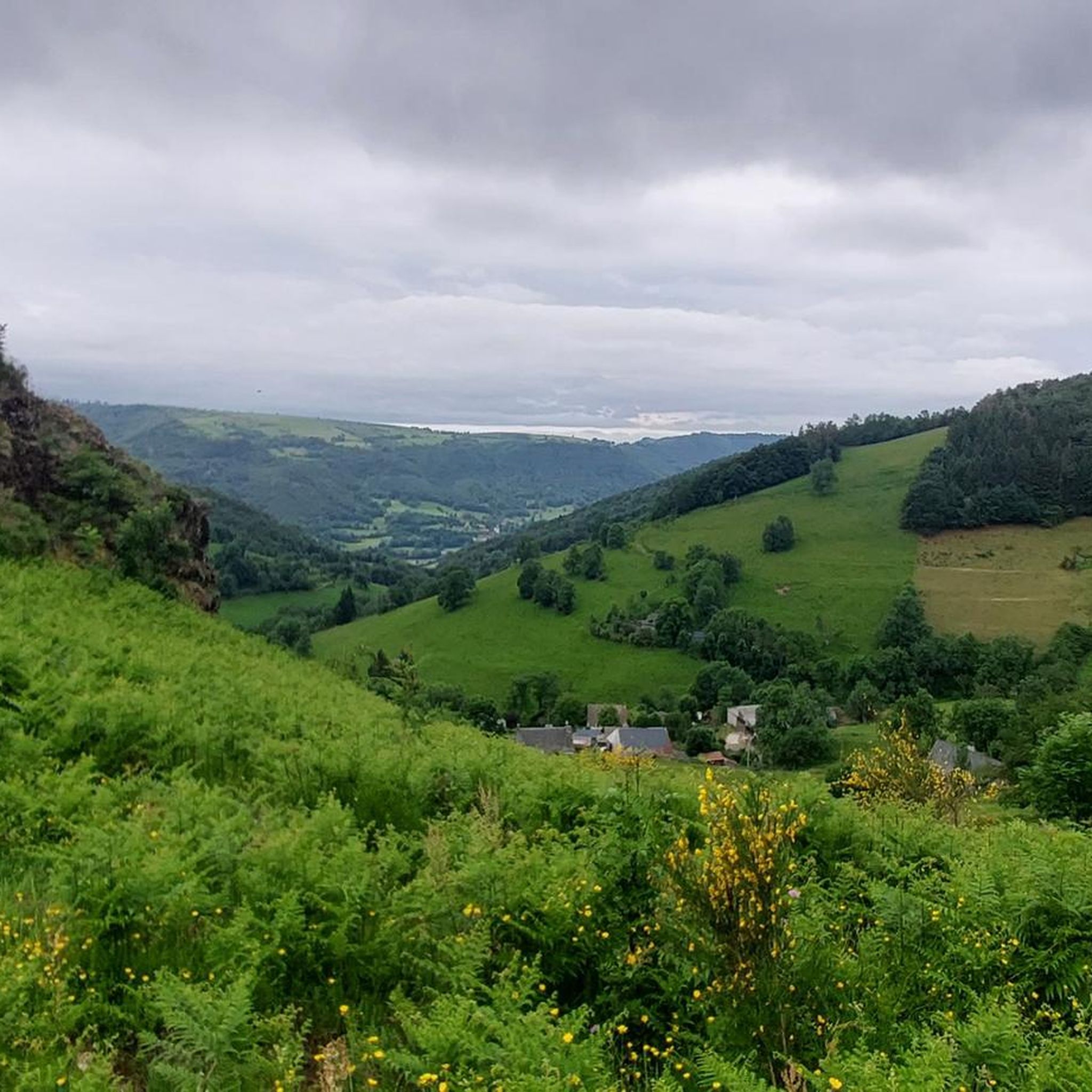
Jogging routes around Vic-Sur-Cère traverse the diverse landscapes of the Auvergne Volcanoes Regional Natural Park, situated within the Cantal mountains. The region is characterized by the green Cère Valley, shaped by ancient glacial erosion, offering varied terrain from riverside paths to challenging mountain ascents. Runners can explore geological features like the Gorges de la Jordanne and numerous waterfalls, alongside trails leading to panoramic viewpoints. The area provides a comprehensive network of running routes suitable for various fitness levels.
Best jogging…
Last updated: June 23, 2026
32
runners
9.06km
01:31
590m
590m
Hard run. Very good fitness required. Sure-footedness, sturdy shoes and alpine experience required.
5.0
(1)
7
runners
7.22km
01:02
360m
360m
Hard run. Very good fitness required. Mostly accessible paths. Some sure footedness required.

Sign up for free
29
runners
19.4km
02:24
510m
510m
Hard run. Very good fitness required. Mostly paved surfaces. Suitable for all skill levels.
9
runners
12.9km
01:32
280m
280m
Hard run. Good fitness required. Sure-footedness, sturdy shoes and alpine experience required.
7
runners
13.3km
01:29
250m
250m
Moderate run. Good fitness required. Mostly paved surfaces. Suitable for all skill levels.
Get access to more routes and recommendations from other explorers.
Sign up for free
Already have an account?
Our route recommendations are based on thousands of hikes, rides, and runs completed by other people on komoot.
Start today with a free account
Your next adventure awaits.
Login or Signup
Tips from the Community

A wild site with landscapes of great beauty. Steep path with stones and roots. Requires a certain level of physical fitness with hiking boots preferred.
0
0

We were here on July 17, 2025. We hiked the entire trail, and it was beautiful. The last part was quite steep. The waterfall viewpoint was a bit of a disappointment: two thin streams along the rock face. So, if you're going there now, don't expect too much.
1
0
A magnificent site to cool down in hot weather.
1
0

Between the Jordanne valley and the Cère valley, the Coyan plateau is a mountain pasture plateau that has always been frequented by man. Formerly, a hermitage was also present on the plateau.
2
0
Site of an old feudal castle of the lords of Vic which dominates Vic-sur-Cère, offering a magnificent view.
2
0
Pretty little waterfall in the calm of the forest on the heights of Vic-sur-Cère.
1
0
If sometimes the name of a place comes from a legend or from the imagination of men, this is not the case here since in the Middle Ages the rock was indeed a place of execution. Today, the place is an ideal place to enjoy the view.
1
0
Easily accessible waterfall on the Lasmolineries stream (stream also at the origin of the Faillitoux waterfall). The belvedere offers a bird's eye view of the waterfall.
2
0
Frequently Asked Questions
How many running routes are available around Vic-sur-Cère?
There are over 25 dedicated running routes around Vic-sur-Cère, offering a wide range of options for all fitness levels. These trails traverse the diverse landscapes of the Auvergne Volcanoes Regional Natural Park.
What is the general difficulty level of running trails in Vic-sur-Cère?
The running trails around Vic-sur-Cère cater to various fitness levels. While there are 7 moderate routes, the majority, 22 routes, are classified as difficult. These more challenging trails often feature significant elevation gain through the volcanic landscape, offering rewarding experiences for experienced runners.
Are there any running routes that feature waterfalls in Vic-sur-Cère?
Yes, the region is known for its beautiful waterfalls. You can explore routes that pass by these natural spectacles. For instance, the Roucole Waterfall – Pas de Cère Gorges loop from Vic-sur-Cère is a challenging 17.8 km trail that includes a waterfall. The Arbre de la Biche Waterfall is another notable natural monument in the area.
What do other runners say about the trails in Vic-sur-Cère?
The running routes in Vic-sur-Cère are highly rated by the komoot community, with an average score of 4.6 out of 5 stars from over 17 reviews. More than 500 runners have used komoot to explore the varied terrain, often praising the stunning natural beauty and the challenging yet rewarding ascents.
Are there any family-friendly or easy jogging options in Vic-sur-Cère?
Yes, for lighter jogs or family outings, the town offers accessible options. The "Espace Trail Carladès" features a short, easy route exploring the mineral water spring and park within Vic-sur-Cère. Additionally, the nearly 12-hectare leisure park in Vic-sur-Cère provides shaded areas and an outdoor fitness area, perfect for warm-ups, cool-downs, or shorter, easier runs.
Can I find circular running routes around Vic-sur-Cère?
Absolutely. Many of the running routes in the area are designed as loops, allowing you to start and finish in the same location. Examples include the challenging Saint-Curial Rock and Plateau du Coyan Loop (9.1 km) and the moderate Château de Comblat loop from Vic-sur-Cère (13.3 km).
What kind of natural landmarks or points of interest can I see while running in Vic-sur-Cère?
The region is rich in natural beauty. You can encounter geological features like the Pas de Cère Gorges and the Jordanne gorges. Panoramic viewpoints such as Hangman's Rock and the summit of L'Élancèze offer breathtaking views of the Cantal mountains and the Auvergne Volcanoes Regional Natural Park.
Are there any running routes that pass by historical sites or castles?
Yes, some routes combine natural beauty with historical charm. The Vixouze Castle loop from Vic-sur-Cère is a longer 19.4 km trail that takes you through varied terrain, including areas near historical landmarks. The medieval town of Vic-sur-Cère itself also offers historical sites like the Maison des Princes de Monaco.
Can I run with my dog on the trails around Vic-sur-Cère?
Most trails within the Auvergne Volcanoes Regional Natural Park are generally accessible for dogs, provided they are kept on a leash to protect wildlife and ensure the safety of other trail users. It's always recommended to check specific trail regulations or local signage for any restrictions before heading out with your canine companion.
Are there any challenging trail running options for advanced runners?
Absolutely. Vic-sur-Cère is an excellent destination for advanced trail runners. Routes like the Rocher des Pendus Trail from Vic-sur-Cère, a difficult 7.2 km path with significant elevation, offer a demanding experience with rewarding views. Many trails within the Auvergne Volcanoes Regional Natural Park provide the rugged terrain and ascents that advanced runners seek.
What kind of landscapes will I encounter on a run in Vic-sur-Cère?
Running in Vic-sur-Cère means experiencing a diverse range of landscapes. You'll find paths along the green Cère Valley and the Cère river, shaped by ancient glacial erosion. Expect to traverse volcanic terrain, dense forests, and open mountain areas, with opportunities for panoramic views from higher elevations like the Pertus Pass.
Most popular attractions around Vic-Sur-Cère

Get inspired with the komoot mobile app


Explore more
Browse the best Running Trails & Routes in other regions.
