The best running trails around Gunzgen
4.5
(399)
8,335
runners
413
runs
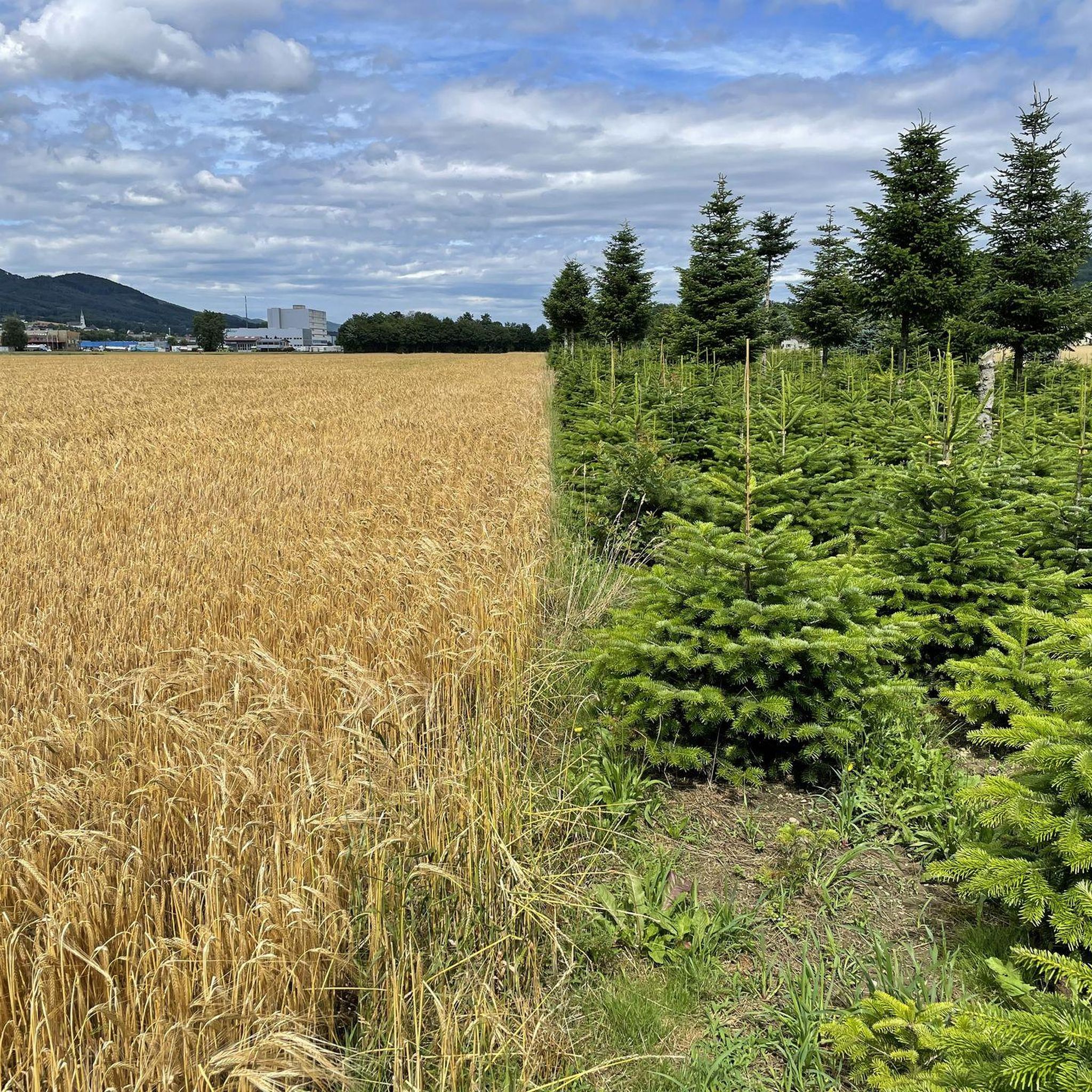
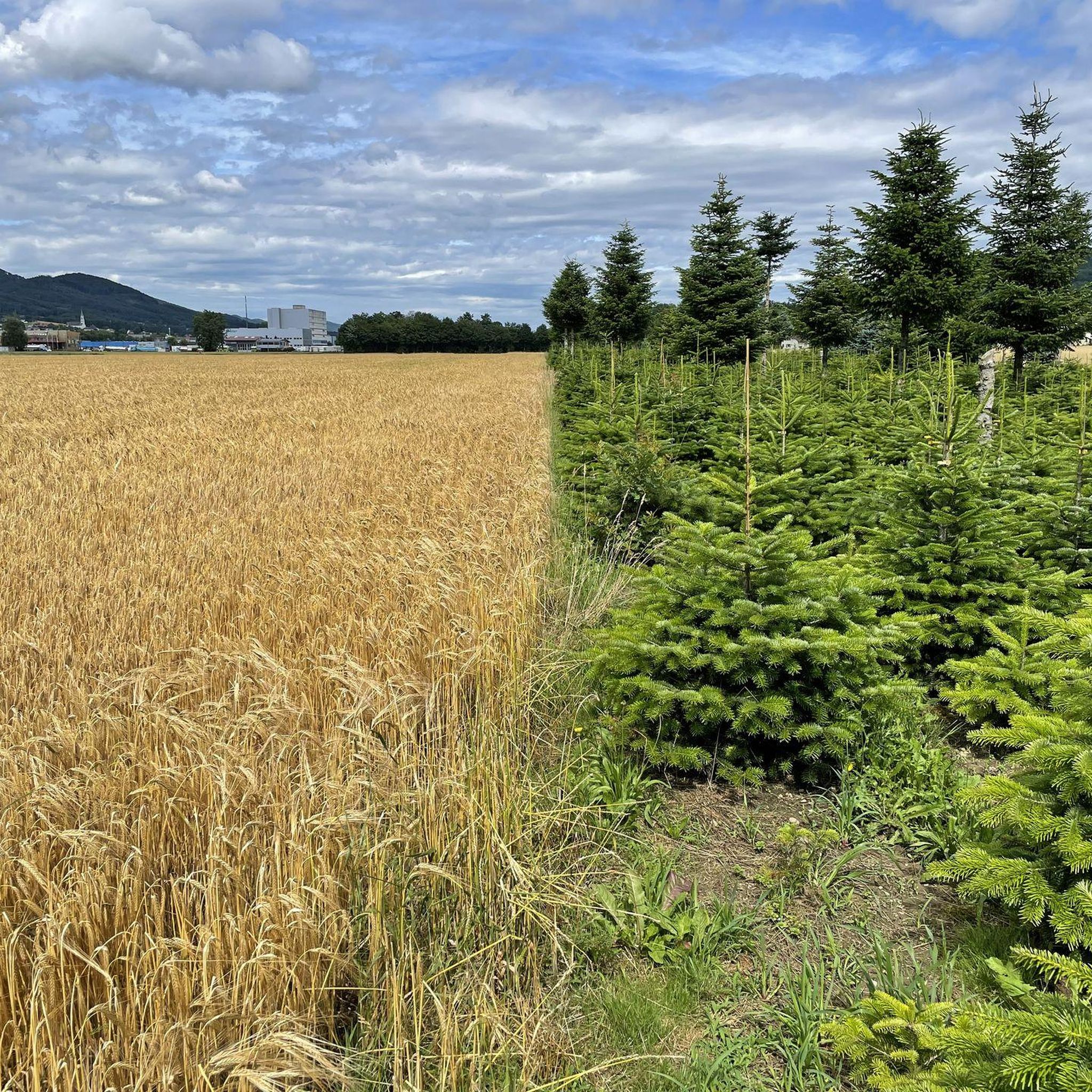
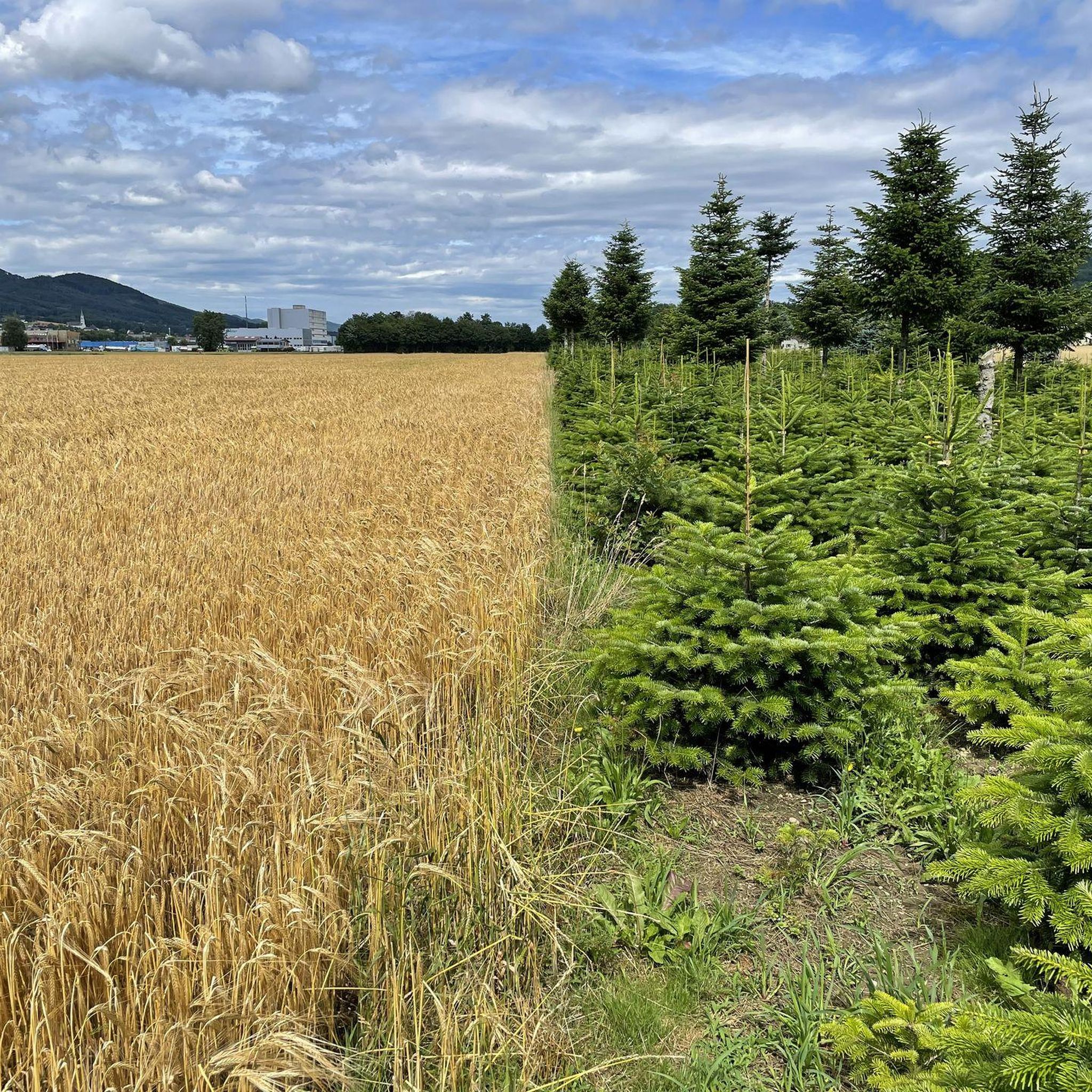
Jogging routes around Gunzgen, Switzerland, traverse a varied landscape of agricultural land, forested regions, and river paths along the Dünnern River. The terrain includes gentle ascents and descents, with some routes offering more challenging elevation gains near features like the Tüfelsschlucht. This region provides a mix of natural settings, from serene nature reserves to more rugged gorge environments, suitable for different running preferences.
Best jogging routes around Gunzgen
- The most popular jogging route is 1000 Steps Staircase – View of…
Last updated: June 27, 2026
5.0
(1)
80
runners
12.6km
01:21
120m
120m
Moderate run. Good fitness required. Mostly paved surfaces. Suitable for all skill levels.
63
runners
17.3km
01:49
110m
110m
Hard run. Very good fitness required. Mostly paved surfaces. Suitable for all skill levels.

Sign up for free
4.0
(1)
69
runners
10.9km
01:09
50m
50m
Moderate run. Good fitness required. Mostly paved surfaces. Suitable for all skill levels.
5.0
(1)
233
runners
Hard run. Very good fitness required. Sure-footedness, sturdy shoes and alpine experience required.
5.0
(1)
38
runners
Moderate run. Good fitness required. Mostly paved surfaces. Suitable for all skill levels.
Get access to more routes and recommendations from other explorers.
Sign up for free
Already have an account?
Our route recommendations are based on thousands of hikes, rides, and runs completed by other people on komoot.
Start today with a free account
Your next adventure awaits.
Login or Signup


Tips from the Community

No cycling, but still worth a look.
0
0

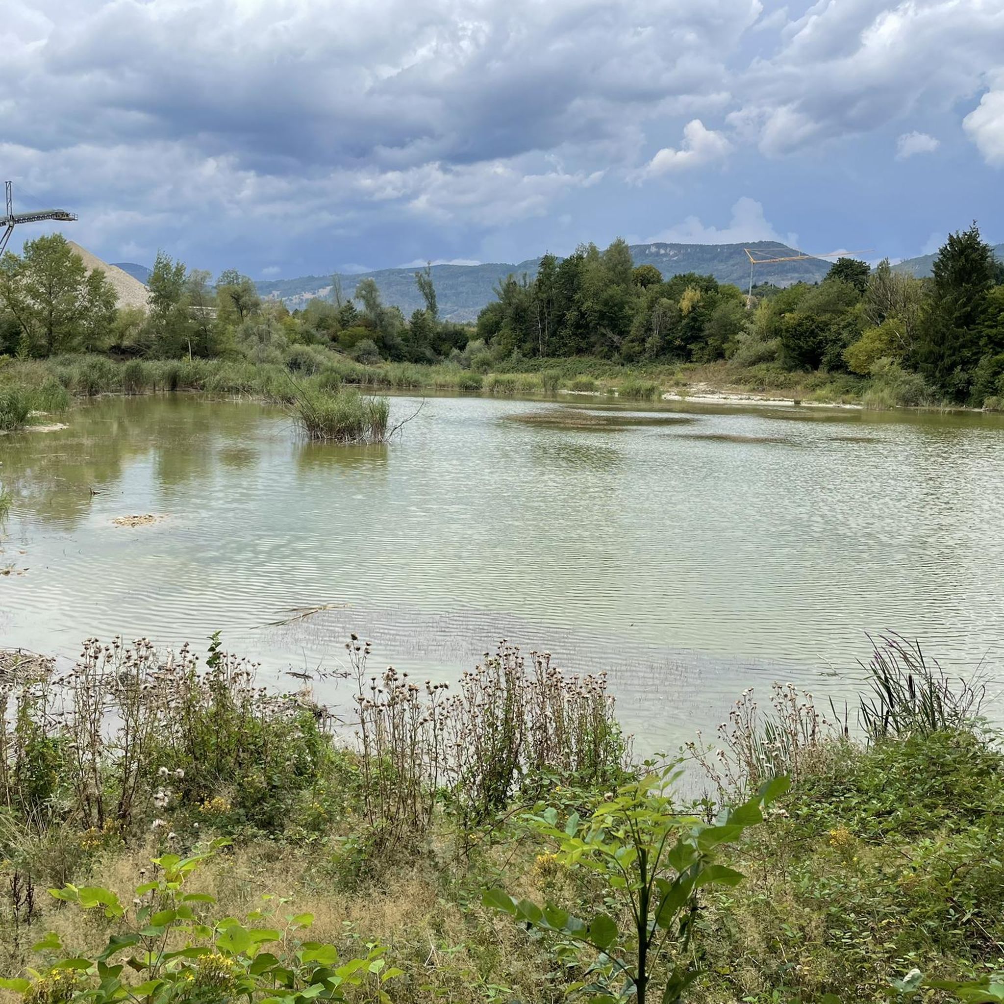
Beautiful bridge and renaturalized stream.
1
0

One of the many highlights of the Devil's Gorge.
0
0

From here on the 1000er Stägeli in the direction of the valley is a one-way street.
0
0

Really a great little waterfall! A spectacle...
0
0

The waterfall in the lower Tüfelschlucht is a true natural wonder. The water falls over moss-covered rocks into the stream below, creating a soothing rushing sound. Surrounded by dense greenery and shady trees, this place offers a refreshing oasis that invites you to enjoy. The sight of the clear water making its way through the gorge is simply fascinating and creates a relaxed atmosphere.
8
0

These walks are a classic for Aarburg athletes. On the program: 244 meters of altitude difference over a distance of 515 meters, or a gradient of 47.3%!
1
0

Very beautiful old town and beautifully situated on the river.
0
0
Frequently Asked Questions
How many running routes are available around Gunzgen?
There are over 400 running routes around Gunzgen, offering a wide variety of options for all skill levels. These include easy, moderate, and challenging trails through diverse landscapes.
What kind of terrain can I expect on jogging trails in Gunzgen?
Jogging trails in Gunzgen feature a varied landscape, from flat river paths along the Dünnern River to forested regions and more challenging routes with significant elevation gains, particularly near natural features like the Tüfelsschlucht. You'll find a mix of agricultural land and natural reserves.
Are there any challenging running routes with significant elevation around Gunzgen?
Yes, for those seeking a challenge, routes like the Entrance to the Tüfelsschlucht – Tüfels Gorge loop from Hägendorf offer considerable elevation changes. Another demanding option is the Tüfels Gorge – Fortification Hauenstein loop from Hägendorf, which includes over 650 meters of ascent.
Can I find family-friendly running paths in Gunzgen?
While specific family-friendly routes are not detailed, the region's flat river paths along the Dünnern River and trails through the Gunzger Allmend Nature Reserve would likely offer easier, more accessible options suitable for families. These areas provide a peaceful and scenic environment.
Are there dog-friendly jogging trails in the Gunzgen area?
Many of the natural trails and forested paths around Gunzgen are suitable for running with dogs, provided they are kept on a leash where required. The diverse landscapes, including the Gunzger Allmend Nature Reserve and riverside paths, offer plenty of space for you and your canine companion to enjoy.
What scenic viewpoints or natural features can I discover on a run near Gunzgen?
Runners can explore several scenic spots. The Belchenflue Summit Viewpoint offers a unique 360-degree panorama. The Wisenberg Observation Tower provides views above the treetops. Additionally, the Tüfelsschlucht gorge itself is a fascinating place with rushing waterfalls and moss-covered rocks.
Are there any circular running routes available?
Yes, many routes around Gunzgen are designed as loops. For example, the Dünnern Restoration – Gheid Glider Airfield loop from Hägendorf is a moderate 10.9 km circular path that follows the Dünnern River.
What do other runners enjoy most about jogging in Gunzgen?
The running routes in Gunzgen are highly rated by the komoot community, with an average score of 4.5 stars from over 300 reviews. Runners often praise the varied terrain, from serene river paths to challenging gorge trails, and the beautiful natural settings that make each run unique.
Is there public transport access to the running trails around Gunzgen?
Gunzgen is a municipality in the canton of Solothurn, Switzerland, and is generally well-connected. While specific public transport stops for each trail vary, many routes start from villages like Hägendorf, which typically have bus or train connections, making trails accessible for runners without a car.
Are there any routes that pass by historical landmarks or interesting structures?
Yes, some routes offer glimpses of historical interest. For instance, the 1000 Steps Staircase – View of Aarburg Fortress loop from Hägendorf provides views towards the historic Aarburg Fortress. The region also features highlights like the Neu-Falkenstein Castle Ruins and World War I fortifications, which can be explored on nearby trails.
What is the best time of year for running in Gunzgen?
Gunzgen offers enjoyable running conditions throughout much of the year. Spring and autumn provide pleasant temperatures and vibrant scenery. Summer is ideal for early morning or late evening runs to avoid the heat, while winter can offer picturesque snowy trails, though some paths might require more caution due to conditions.
Are there any easy or beginner-friendly running routes?
Yes, Gunzgen offers several easier routes suitable for beginners or those looking for a less strenuous run. The flat sections along the Dünnern River are particularly good for gentle jogs. While not explicitly named as 'easy' in the top routes, there are 16 routes classified as easy among the over 400 available.
Most popular routes around Gunzgen
Most popular attractions around Gunzgen

Get inspired with the komoot mobile app


Explore more
Browse the best Running Trails & Routes in other regions.
