The best cycling routes around Pailherols
4.6
(61)
1,196
riders
84
rides
Touring cycling around Pailherols is characterized by its location within the ancient volcanic landscapes of the Cantal mountains, offering diverse terrain. Situated at nearly 1000 meters altitude, the region features significant elevation gains, winding routes through forests, and across expansive pastures. The Auvergne-Rhône-Alpes region provides a variety of landscapes, from rolling hills to high plateaus, suitable for touring cyclists. This area is part of the Parc des Volcans d'Auvergne, presenting a natural setting for cycling adventures.
Best touring cycling routes…
Last updated: June 30, 2026
5.0
(3)
50
riders
46.1km
03:48
1,470m
1,470m
Hard bike ride. Very good fitness required. Mostly paved surfaces. Suitable for all skill levels.
21
riders
54.0km
03:51
1,060m
1,070m
Hard bike ride. Very good fitness required. Mostly paved surfaces. Suitable for all skill levels.

Sign up for free
4.0
(1)
10
riders
36.7km
02:48
920m
910m
Hard bike ride. Very good fitness required. Mostly paved surfaces. Suitable for all skill levels.
15
riders
16.6km
01:42
560m
560m
Hard bike ride. Very good fitness required. Mostly paved surfaces. Suitable for all skill levels.
11
riders
13.2km
01:02
360m
360m
Moderate bike ride. Good fitness required. Mostly paved surfaces. Suitable for all skill levels.
Get access to more routes and recommendations from other explorers.
Sign up for free
Already have an account?
Our route recommendations are based on thousands of hikes, rides, and runs completed by other people on komoot.
Start today with a free account
Your next adventure awaits.
Login or Signup
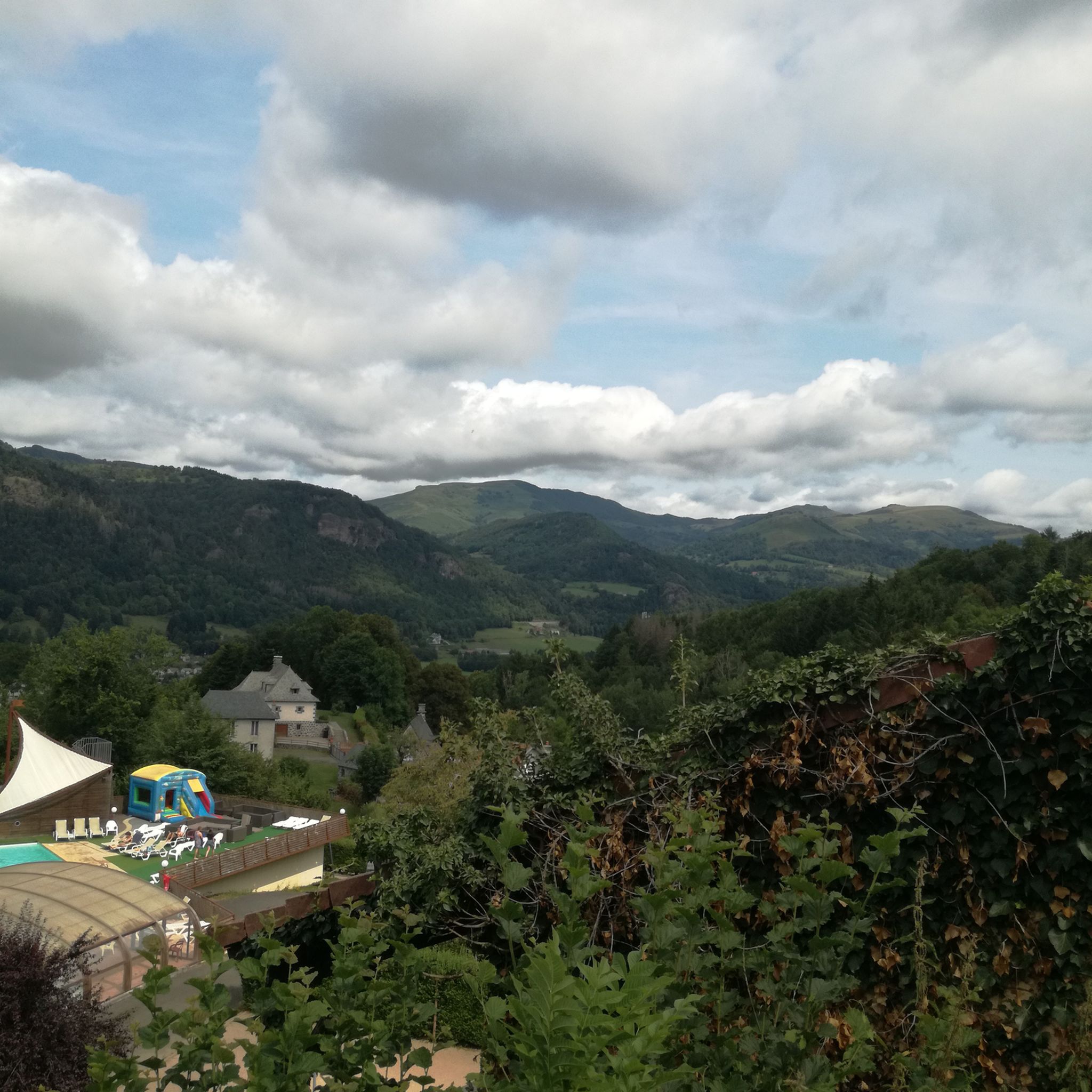
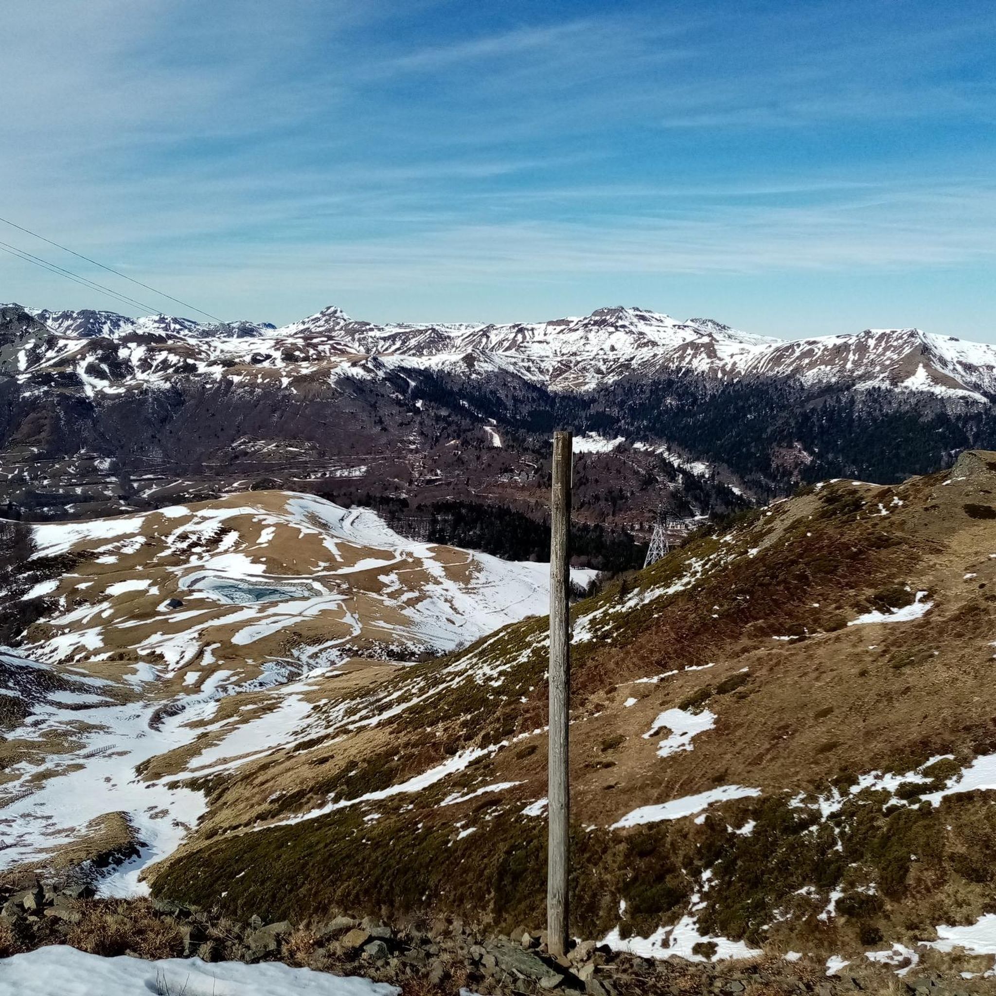
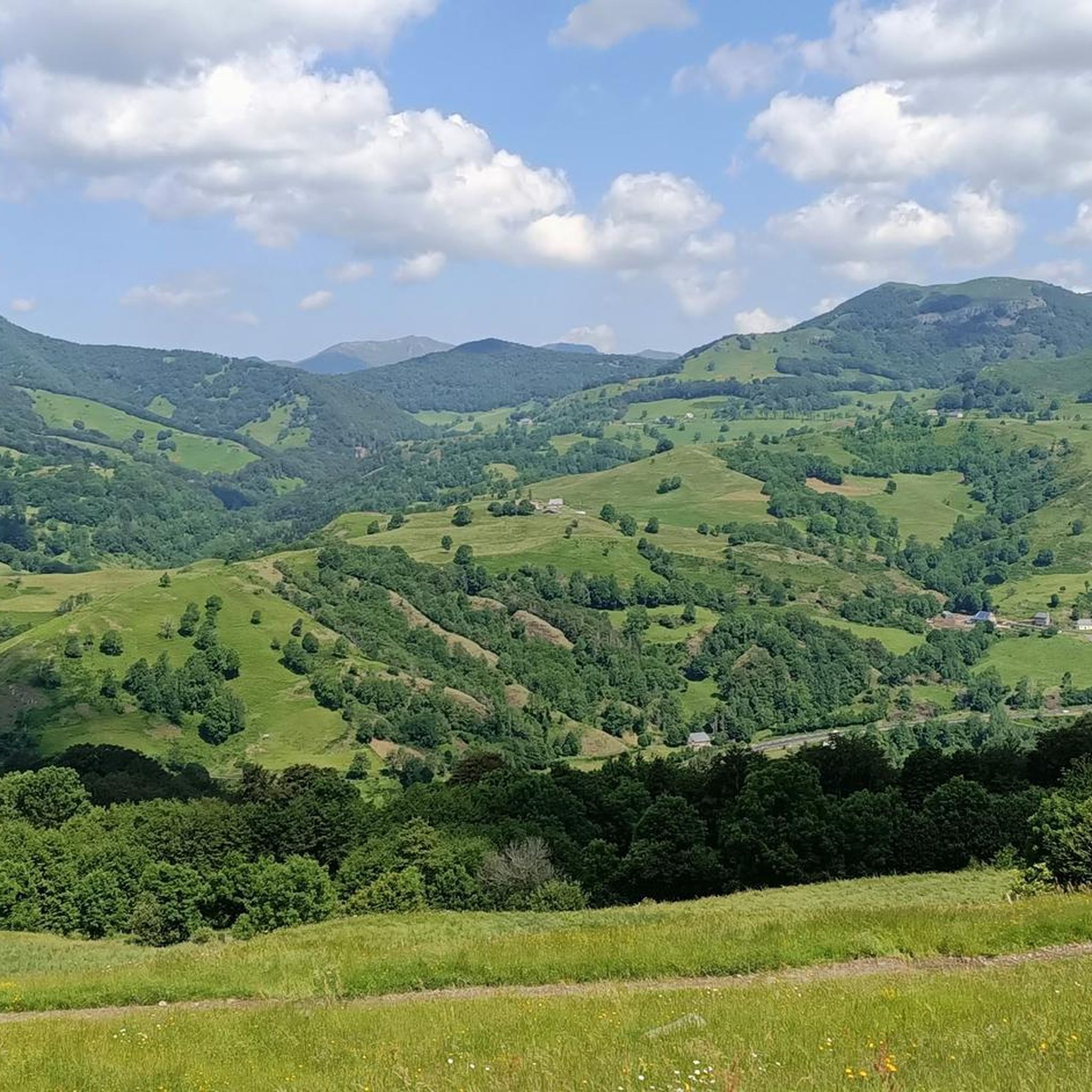
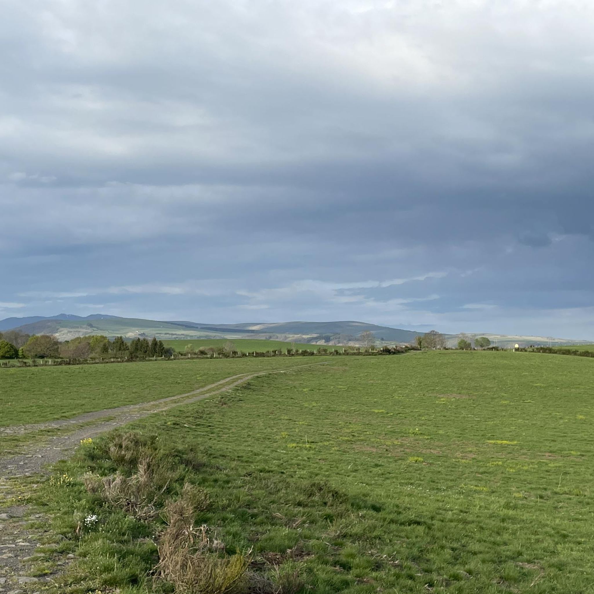

Tips from the Community

At an altitude of 1,588 meters, the Pas de Peyrol is located between the Puy Mary and the Puy de la Tourte. It is known to be the highest road pass in the Massif Central and is worth it, because the last few kilometers have high percentages. There you can admire Puy Mary which peaks at an altitude of 1,783 metres. It is one of the peaks of the Cantal mountains. It is easily recognizable with its pyramidal silhouette.
1
0


Superb climb from Saint-Julien de Jordanne.
0
0

Pardon the flowery language, but real dirt. The ascent is very irregular, incredibly difficult in the first kilometer, especially with luggage. It is however very beautiful, and the cows will accompany you in this ascent. If the climb is difficult, the descent is just as difficult and you will have to stay on the brakes in gradients of almost 11 percent. I invite you to stop on the side of the road, to take full advantage of this postcard setting.
1
0

Gorgeous on arrival! Nice place to stop and rehydrate!
1
0
Great view at the top!
1
0
Magnificent view from the top of Puy Mary!
1
0

A pretty pass which joins the valleys of the Jordanne and the Cère on the Puy Mary.
1
0
Frequently Asked Questions
How many touring cycling routes are available around Pailherols?
There are nearly 90 touring cycling routes around Pailherols, offering a wide range of options for exploring the Monts du Cantal. These routes are set within the stunning volcanic landscapes of the Parc des Volcans d'Auvergne.
What is the typical terrain and elevation like for touring cycling in Pailherols?
Pailherols is situated at nearly 1000 meters altitude within the ancient volcanic landscapes of the Cantal mountains. Touring cyclists can expect routes with significant altitude gains, winding through forests, across expansive pastures, and offering panoramic views. The region features diverse topography, from rolling hills to high plateaus, ensuring a dynamic and engaging experience.
Are there any easy touring cycling routes for beginners or those seeking a relaxed ride?
While many routes in Pailherols present significant challenges due to the mountainous terrain, there is at least one easy touring cycling route available. For those looking for a more relaxed experience, it's advisable to check the route details for elevation profiles and distance before setting out.
What kind of natural features and landmarks can I expect to see along the cycling routes?
The touring cycling routes around Pailherols offer breathtaking natural features. You can expect to see ancient volcanic landscapes, dense forests, and high-altitude pastures where Salers cows graze. Notable landmarks and viewpoints include Plomb du Cantal, Roland's Breach, and Puy Peyre-Arse. The region is also known for majestic waterfalls like the Saut de la Truite.
Are there any circular touring cycling routes around Pailherols?
Yes, many touring cycling routes in the area are designed as loops, allowing you to start and finish in the same location. An example is the challenging Vixouze Castle – Col de Curbousse (997 m) loop from Vic-sur-Cère, which covers 38.7 km with substantial elevation gain.
What do other touring cyclists enjoy most about cycling in Pailherols?
The area is highly rated by the komoot community, with an average score of 4.6 stars from over 50 reviews. Touring cyclists often praise the stunning volcanic scenery, the challenging climbs, and the immersive experience of cycling through the diverse landscapes of the Parc des Volcans d'Auvergne.
Are there any family-friendly touring cycling options in the Pailherols area?
While many routes feature significant elevation gains and are rated as difficult, the broader Auvergne-Rhône-Alpes region is developing "shared paths" and "greenways" which are more suitable for families. It's recommended to look for routes specifically marked as easy or those utilizing these dedicated cycling paths for a family-friendly experience. Always check the route's difficulty and elevation profile.
Can I bring my dog on the touring cycling trails around Pailherols?
The Parc des Volcans d'Auvergne generally welcomes dogs, but specific regulations may apply to certain protected areas or trails. When cycling, ensure your dog is well-behaved, on a leash where required, and that you carry water for them. Always check local signage or park guidelines for the most current information regarding pets on trails.
What is the best time of year for touring cycling in Pailherols?
The best time for touring cycling in Pailherols is typically from late spring to early autumn (May to October). During these months, the weather is generally milder, and the high-altitude pastures are green. The region can experience significant snow in winter, transforming it into a winter sports area, making cycling challenging or impossible on many routes.
Are there options for advanced touring cyclists looking for a challenge?
Absolutely. Pailherols is an excellent destination for advanced touring cyclists. The region's volcanic terrain means many routes feature substantial elevation gains and challenging climbs. For example, the Pertus Pass (1,309 m) – Mandailles loop from Saint-Jacques-des-Blats is a difficult 23.3 km path with significant ascents and descents through mountainous terrain.
Where can I find parking for touring cycling routes near Pailherols?
Parking is generally available in and around Pailherols and at the starting points of many popular routes in nearby villages like Vic-sur-Cère or Saint-Jacques-des-Blats. Look for designated parking areas, especially near trailheads or village centers. Always ensure you park responsibly and respect local regulations.
Are there any cultural or historical sites to explore near the cycling routes?
Beyond the natural beauty, the region around Pailherols offers charming villages and cultural sites. You might consider visiting the Château de Pesteils, the Église de Thérondels, or the Église de Sainte Geneviève sur Argence. These can provide interesting stops during or after your cycling adventures.
What is the difficulty level of most touring cycling routes in Pailherols?
The majority of touring cycling routes around Pailherols are rated as difficult, with 74 out of 88 routes falling into this category. This is due to the significant elevation changes and mountainous terrain characteristic of the Monts du Cantal. There are also 13 moderate routes and 1 easy route available for those seeking less intense rides.
Most popular attractions around Pailherols

Get inspired with the komoot mobile app


Explore more
Browse the best Cycling routes in other regions.
