The best running trails around Lüsslingen-Nennigkofen
4.4
(255)
7,645
runners
450
runs
Jogging around Lüsslingen-Nennigkofen offers diverse landscapes, from the rolling hills of the Bucheggberg to paths near the Aare River valley. The region is characterized by a mix of forests, open pastureland, and varied topography, with elevations ranging from 424 to 555 meters above sea level. These natural features provide a range of running routes suitable for different preferences and fitness levels.
Best jogging routes around Lüsslingen-Nennigkofen
- The most popular jogging route is Running loop from Solothurn West, a 3.9…
Last updated: June 27, 2026
5.0
(2)
122
runners
6.26km
00:39
20m
20m
Moderate run. Good fitness required. Mostly paved surfaces. Suitable for all skill levels.
4.3
(3)
93
runners
26.0km
02:49
130m
130m
Hard run. Very good fitness required. Mostly paved surfaces. Suitable for all skill levels.

Sign up for free
4.3
(3)
134
runners
15.1km
01:35
90m
90m
Hard run. Very good fitness required. Mostly paved surfaces. Suitable for all skill levels.
48
runners
15.0km
01:34
30m
30m
Moderate run. Good fitness required. Mostly paved surfaces. Suitable for all skill levels.
39
runners
5.27km
00:33
10m
10m
Moderate run. Good fitness required. Mostly paved surfaces. Suitable for all skill levels.
Get access to more routes and recommendations from other explorers.
Sign up for free
Already have an account?
Our route recommendations are based on thousands of hikes, rides, and runs completed by other people on komoot.
Start today with a free account
Your next adventure awaits.
Login or Signup
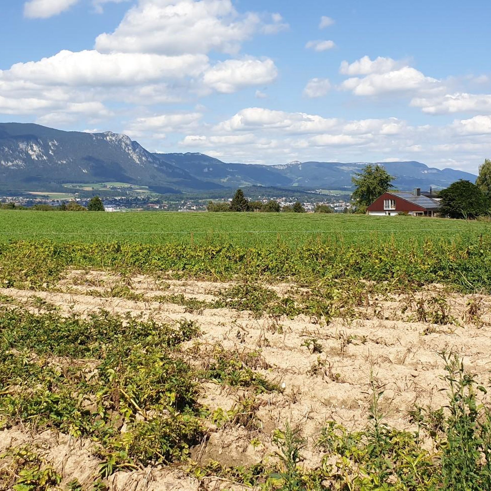
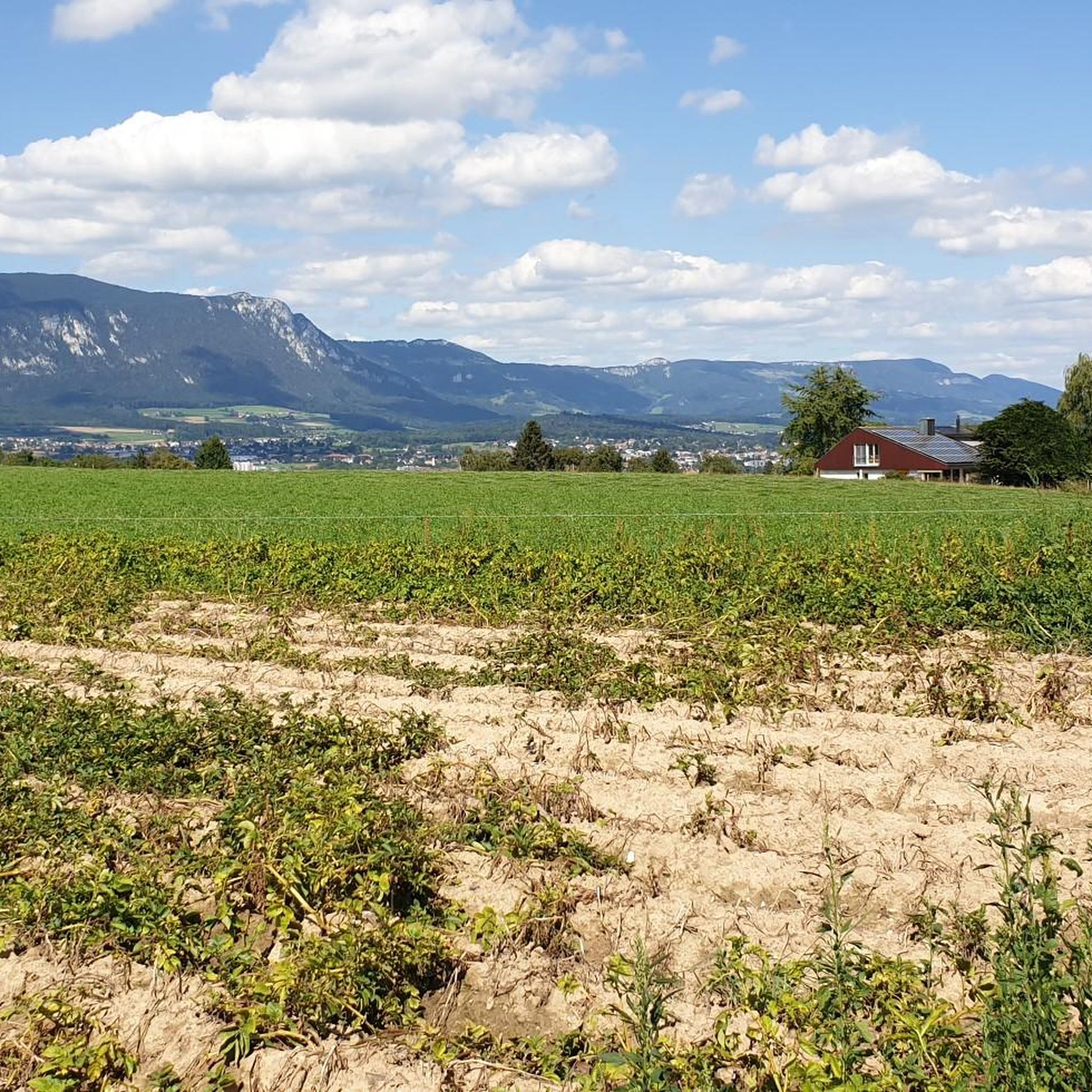
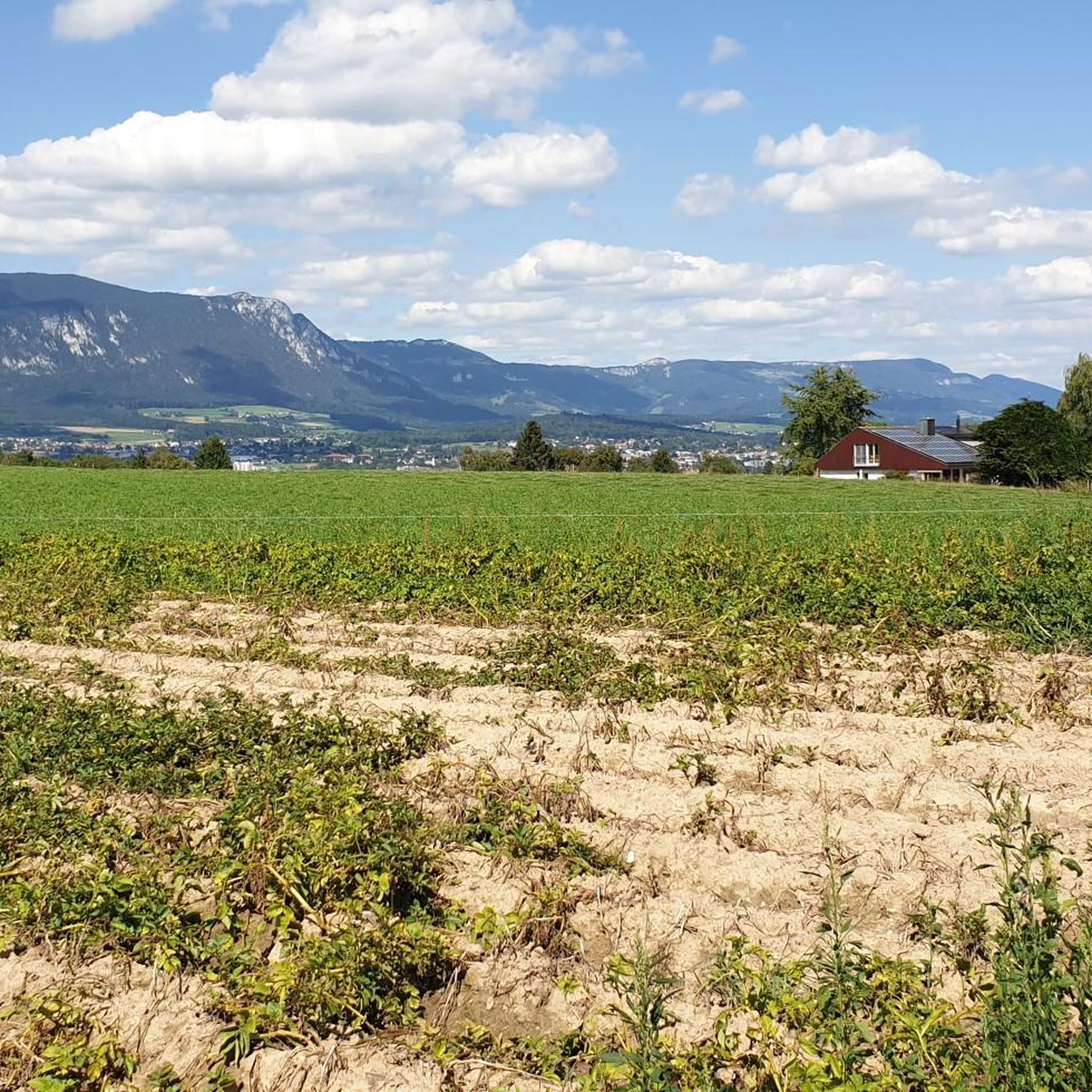
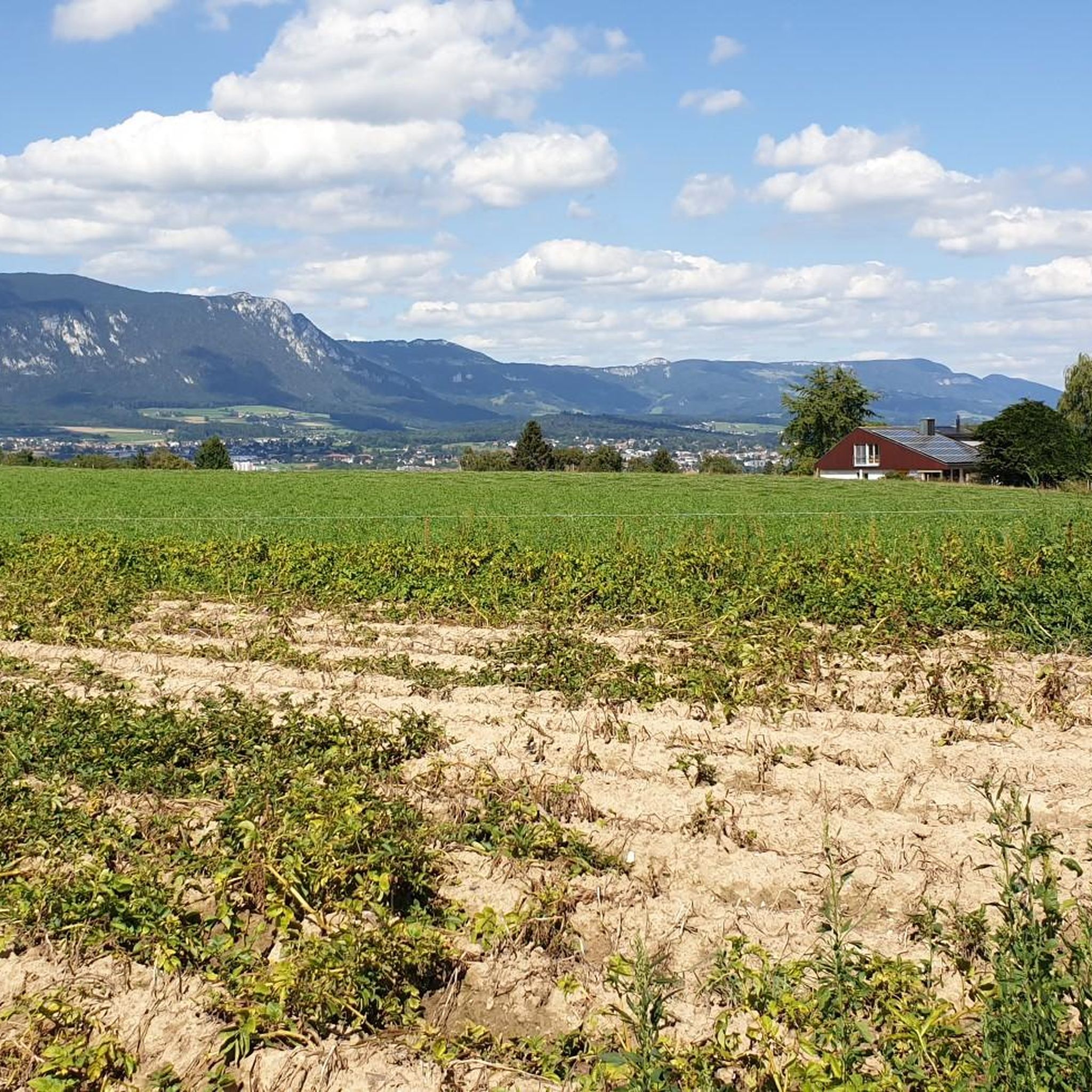


Tips from the Community

pretty here, mega super pretty
0
0
pretty here, mega super pretty
0
0
pretty here, mega super pretty
0
0
Pretty here, mega super pretty
0
0
pretty here, mega super pretty
0
0
Frequently Asked Questions
How many running routes are available in Lüsslingen-Nennigkofen?
There are over 450 running routes around Lüsslingen-Nennigkofen, offering a wide variety of options for different preferences and fitness levels. The komoot community has explored more than 7,000 of these trails.
What kind of terrain can I expect when running in Lüsslingen-Nennigkofen?
The region offers diverse terrain, from the rolling hills of the Bucheggberg to paths along the Aare River valley. You'll find a mix of dense forests, open pastureland, and country lanes, providing both gentle slopes and more challenging ascents. Elevations range from 424 to 555 meters above sea level.
Are there easy running routes suitable for beginners or a relaxed jog?
Yes, Lüsslingen-Nennigkofen has over 25 easy running routes. For a relaxed option, consider the 2.76 km loop around the Bellacher Weiher, which offers a tranquil nature reserve setting. Many routes also feature flat sections, such as the popular Running loop from Solothurn West.
Are there more challenging running trails for experienced runners?
Absolutely. The area features over 60 difficult routes for those seeking a greater challenge. A notable option is the Solothurn Old Town – View of the Aare loop from Solothurn West, a 26.2 km trail with significant elevation changes, leading through the Aare Valley and past Solothurn Old Town.
Can I find circular running routes in the Lüsslingen-Nennigkofen area?
Yes, many of the running paths in Lüsslingen-Nennigkofen are circular. The region is well-suited for loops, with examples like the Church of Lüsslingen Loop or the Attractive Farmhouses Loop, both offering scenic views and varied terrain.
What natural attractions or landmarks can I see while running?
You can enjoy expansive views of the Aare Valley from elevated paths. The Rhododendron Forest offers a beautiful natural setting for a longer jog. Additionally, you might encounter the tranquil Bellacher Weiher or the Lüsslinger Bürgerweiher, both providing picturesque spots along your run.
Are the running trails in Lüsslingen-Nennigkofen family-friendly?
Many trails through pastureland and forests are suitable for families, especially the easier, flatter sections. The serene environment with minimal traffic in protected village cores makes for a pleasant family outing. Always check the route's difficulty and length to ensure it matches your family's capabilities.
Can I bring my dog on the running trails?
Generally, dogs are welcome on trails in the Lüsslingen-Nennigkofen region. However, it's always advisable to keep your dog on a leash, especially when passing through agricultural areas, near livestock, or in nature protection zones like the Bellacher Weiher. Please respect local signage and regulations.
Where can I park my car when accessing running trails?
Parking is often available near trailheads in Lüsslingen-Nennigkofen and surrounding villages. Specific parking information can usually be found on individual route pages on komoot. Look for designated parking areas in village centers or near popular starting points for trails.
How can I reach the running routes using public transport?
Lüsslingen-Nennigkofen is accessible by public transport, making it convenient to reach many trail starting points. Check local bus and train schedules for connections to Lüsslingen-Nennigkofen. Many routes, especially those starting from Solothurn West, are well-connected.
Are there any cafes or places to rest near the running routes?
Yes, you can find places to rest and refuel. The route Drinking Water Fountain – Chill's Café loop from Solothurn West, for example, passes by a café. The region also has several restaurants and huts, such as the Hofbergli Mountain Restaurant, which can be found along or near various trails.
What do other runners enjoy most about jogging in Lüsslingen-Nennigkofen?
The running routes in Lüsslingen-Nennigkofen are highly rated by the komoot community, with an average score of 4.4 stars from over 220 reviews. Runners often praise the diverse landscapes, the serene environment of meadows and forests, and the well-maintained paths that offer both challenging ascents and relaxing flat sections along the Aare River.
What is the best time of year for jogging in Lüsslingen-Nennigkofen?
The region is beautiful for jogging year-round. Spring and autumn offer pleasant temperatures and vibrant scenery, with the Rhododendron Forest being particularly stunning in bloom. Summer provides longer daylight hours, while winter can offer crisp, scenic runs, especially on well-cleared paths. Always check local weather conditions before heading out.
Most popular routes around Lüsslingen-Nennigkofen
Most popular attractions around Lüsslingen-Nennigkofen

Get inspired with the komoot mobile app


Explore more
Browse the best Running Trails & Routes in other regions.
