The best road cycling routes around Montgaudry
5.0
(4)
256
riders
111
rides
Road cycling routes around Montgaudry traverse the Perche Regional Natural Park, characterized by rolling hills and gentle undulations. The terrain features hedged farmland, lush meadows, and dense woodlands, providing varied landscapes for cyclists. Quiet country roads are common, offering an immersive experience of the French countryside. This region provides routes suitable for both leisurely rides and moderate challenges.
Best road cycling routes around Montgaudry
- The most popular road cycling route is Vallée d'Enfer – Perseigne Viewpoint loop from Mamers,…
Last updated: May 20, 2026
5.0
(1)
19
riders
44.1km
02:22
730m
730m
Moderate road ride. Good fitness required. Mostly well-paved surfaces and easy to ride.
11
riders
124km
06:04
1,100m
1,100m
Hard road ride. Very good fitness required. Some segments of this route may be unpaved and difficult to ride.

Sign up for free
8
riders
30.3km
01:35
390m
390m
Moderate road ride. Good fitness required. Mostly well-paved surfaces and easy to ride.
6
riders
49.0km
02:06
410m
410m
Moderate road ride. Good fitness required. Mostly well-paved surfaces and easy to ride.
6
riders
62.3km
02:40
530m
530m
Moderate road ride. Good fitness required. Mostly well-paved surfaces and easy to ride.
Get access to more routes and recommendations from other explorers.
Sign up for free
Already have an account?
Our route recommendations are based on thousands of hikes, rides, and runs completed by other people on komoot.
Start today with a free account
Your next adventure awaits.
Login or Signup



Tips from the Community

A lovely artist's village not to be missed.
1
0

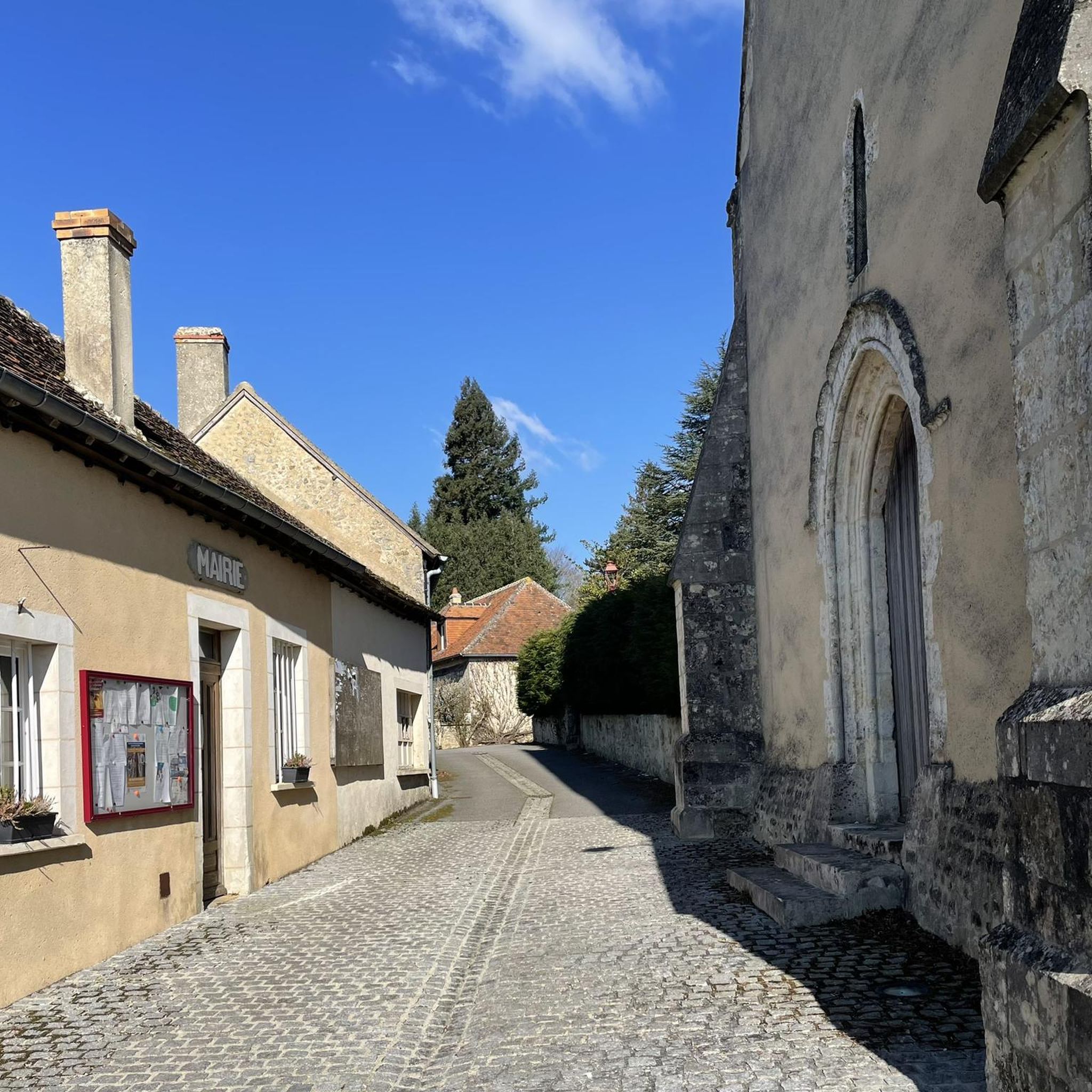
A building constructed in the 11th and 12th centuries. It was then just a simple chapel built on a temple, which was subsequently remodeled numerous times over the centuries. The choir, narrower and higher than the rest, is believed to have been built on tombs from the old cemetery, from which a 10th-century Merovingian sarcophagus made of Roussard sandstone was extracted and is on display outside the church.
0
0

The place that gives its name to the surrounding forest. An abbey founded in 1145 by monks from the Abbey of Citeaux in search of silence and isolation. Now, only a ruined section remains, visible through the foliage from the road. Note that these ruins are located on the grounds of the oldest summer camp still in operation in France.
0
0

This 11th century medieval bridge is a beautiful place to contemplate Beaumont-sur-Sarthe for a short moment. In addition to the river, you can see the castle located on the heights of the town.
0
0
Saint-Martin Chapel. It dates from the 12th or 13th century. It is made of granite, roussard sandstone and brick. This small chapel is lost in the middle of the fields. It is a simple rectangular nave which has a Romanesque window at its chevet.
0
0
small, gentle climb coming from Allieres Beauvoir
0
0
The name of the parish is attested in the forms Sanctus Jovinus in 1147, Saint Jouin in 1429, Saint-Jouin-de-Blavon in 1801. Saint Jouin (in Latin Jovinus), brother of Saint Maximin, was a hermit in Poitou. The determinant refers to the forest of Blavou mentioned around 850 in the Acts of the bishops of Le Mans, it is no longer present today except by the toponyms: Saint Jouin de Blavou
0
1

Frequently Asked Questions
How many road cycling routes are available around Montgaudry?
There are over 120 road cycling routes available around Montgaudry, offering a wide variety of options for exploring the Perche Regional Natural Park.
What kind of terrain can I expect on road cycling routes near Montgaudry?
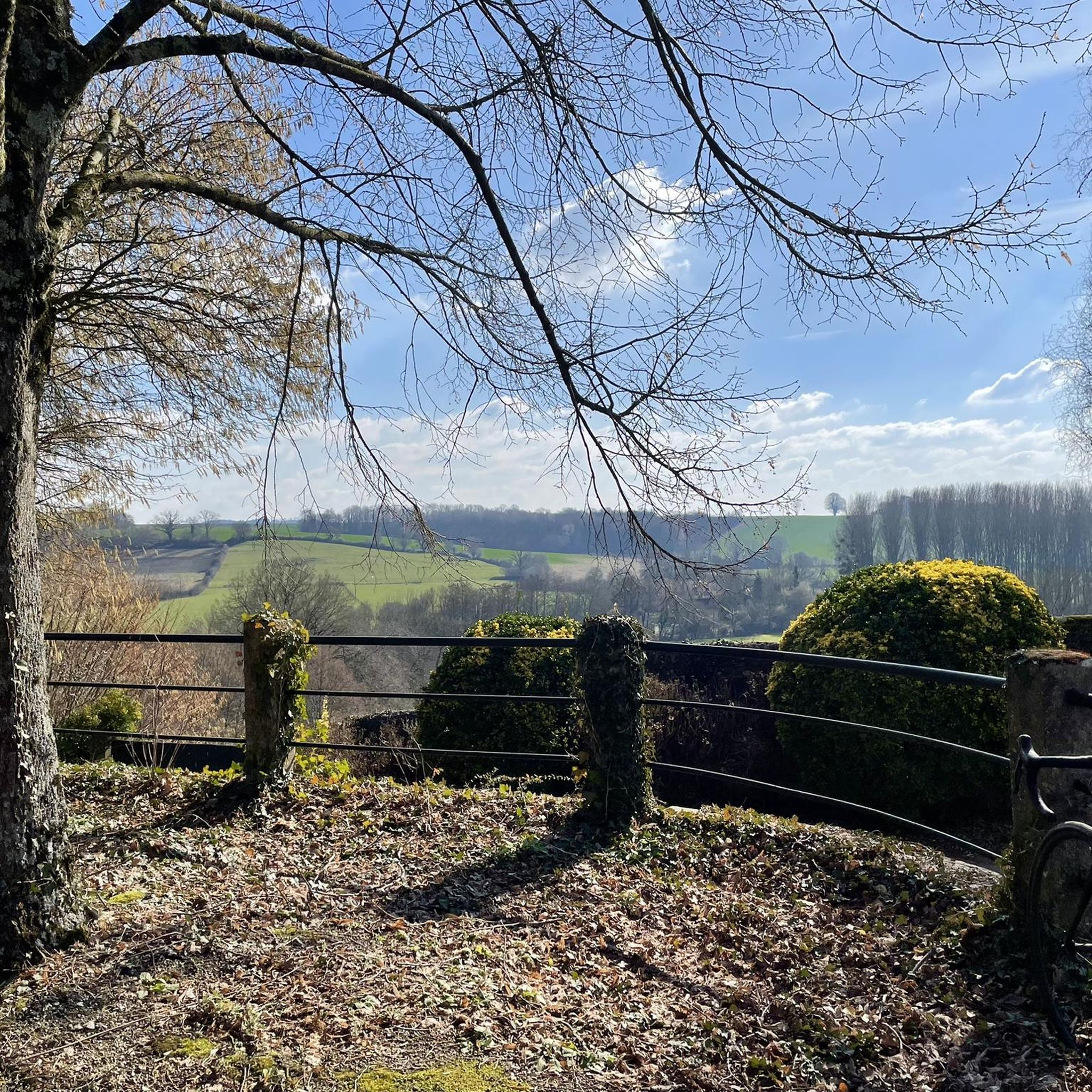
The region is characterized by rolling hills and gentle undulations, providing varied terrain suitable for both leisurely rides and moderate challenges. You'll cycle through picturesque hedged farmland, lush meadows, and dense woodlands, all on quiet country roads.
Are there routes suitable for different skill levels?
Yes, the routes around Montgaudry cater to various abilities. You can find easy routes for a relaxed ride, moderate options like the Vallée d'Enfer – Perseigne Viewpoint loop from Mamers, and more challenging paths such as the Saint-Léonard-des-Bois – Saint-Cénéri-le-Gérei loop from Mamers, which covers over 120 km.
What natural features or landmarks can I see while cycling near Montgaudry?
Many routes offer scenic views of the Perche Regional Natural Park's diverse landscapes, including dense forests like the Forêt de Perseigne. You might also encounter specific viewpoints such as the Perseigne Viewpoint.
Are there any historical sites or charming villages to visit on a road cycling tour?
Absolutely. The Perche region is dotted with pretty towns and villages. Routes like the La Perrière – Monthimer Castle loop from Mamers can lead you past historical sites like Monthimer Castle and through charming settlements such as La Perrière.
What is the typical elevation gain on road cycling routes in the Perche Regional Natural Park?
Given the rolling hills, you can expect varied elevation gains. For example, a moderate route like the Vallée d'Enfer – Perseigne Viewpoint loop has an elevation gain of around 730 meters, while a longer, difficult route like the Saint-Léonard-des-Bois – Saint-Cénéri-le-Gérei loop can feature over 1100 meters of ascent.
Are there circular road cycling routes available in the Montgaudry area?
Yes, many of the road cycling routes around Montgaudry are designed as loops, allowing you to start and finish in the same location. Examples include the Porte Saint Denis – Château de Bellerive loop from Mamers and the Château de Bellerive – La Chapelle de Ma Mère loop from Saint-Longis.
What do other road cyclists enjoy the most about road cycling in Montgaudry?
The area is highly rated by the komoot community, with an average score of 5.0 stars. Reviewers often praise the quiet country roads, the diverse landscapes of hedged farmland and dense woodlands, and the variety of routes suitable for different fitness levels.
Is Montgaudry a good base for exploring the Perche Regional Natural Park by road bike?
Montgaudry's location within the Perche Regional Natural Park makes it an excellent starting point. It provides easy access to a network of scenic routes that showcase the park's natural beauty and cultural heritage, including charming villages and historical sites.
What is the best time of year for road cycling around Montgaudry?
The Perche Regional Natural Park is beautiful throughout the warmer months. Spring and autumn offer pleasant temperatures and vibrant scenery, while summer provides longer daylight hours. The quiet country roads are generally enjoyable outside of peak tourist seasons.
Can I find cafes or places to stop for refreshments along the routes?
While Montgaudry itself is a small commune, the surrounding pretty towns and villages within the Perche Regional Natural Park, such as Belleme and Mortagne-au-Perche, offer opportunities for rest stops, local cuisine, and cafes. Planning your route to pass through these villages is recommended for refreshment breaks.
Most popular routes around Montgaudry
Most popular attractions around Montgaudry

Get inspired with the komoot mobile app


Explore more
Browse the best Road cycling routes in other regions.
