The best mountain hikes around Unteriberg
4.9
(85)
770
hikers
54
hikes
Mountaineering routes around Unteriberg are characterized by alpine terrain, featuring prominent ridges, challenging summits, and mountain passes within the Schwyz region. The landscape includes high-elevation trails leading to huts and viewpoints. This area offers a range of routes suitable for experienced mountaineers seeking demanding ascents and ridge traverses.
Best mountaineering routes around Unteriberg
- The most popular mountaineering route is Druesberghütte Plus 1581 m – Beautiful Ridge Trail loop from Hoch-Ybrig, a 9.8 miles (15.7 km) trail that takes 7…
Last updated: October 10, 2026
4.8
(4)
18
hikers
15.8km
07:35
1,160m
1,150m
Hard mountaineering route. Very good fitness required. Sure-footedness, sturdy shoes and alpine experience required.
5.0
(1)
14
hikers
10.5km
04:36
800m
800m
Hard mountaineering route. Good fitness required. Sure-footedness, sturdy shoes and alpine experience required.

4.5
(2)
13
hikers
8.59km
03:12
530m
530m
Moderate mountaineering route. Good fitness required. Mostly accessible paths. Sure-footedness required.
5.0
(4)
10
hikers
12.5km
06:30
1,110m
1,110m
Hard mountaineering route. Very good fitness required. Sure-footedness, sturdy shoes and alpine experience required.
11
hikers
7.39km
03:34
620m
620m
Hard mountaineering route. Good fitness required. Sure-footedness, sturdy shoes and alpine experience required.
Get access to more routes and recommendations from other explorers.
Already have an account?
Our route recommendations are based on thousands of hikes, rides, and runs completed by other people on komoot.
Start today with a free account
Your next adventure awaits.

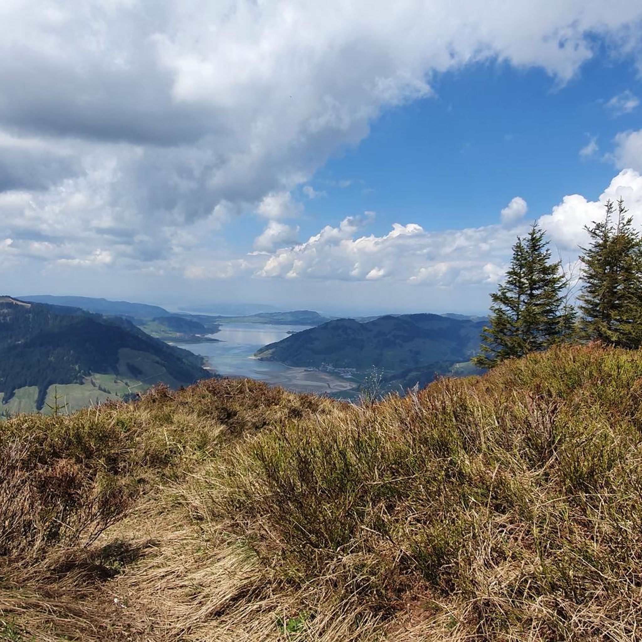
Tips from the Community


Beautiful path leads to the summit
0
0

A truly beautiful view. Please note: Some wire ropes and chains are missing from the Diethelm (June 2025).
1
0
Good physical fitness is required. Long climb. Sensational view.
0
0

Good footwear! It's simply beautiful up there to enjoy nature and silence
1
0
Nice tour...once you reach the top you have a fantastic view👌🏔good shoes
0
0
Frequently Asked Questions
What level of experience is required for mountaineering routes around Unteriberg?
Mountaineering routes in Unteriberg are primarily designed for experienced mountaineers. The area features challenging alpine terrain, including prominent ridges, demanding ascents, and mountain passes. There are 51 difficult routes and 11 moderate routes, but no easy routes available.
Are there any family-friendly mountaineering options in Unteriberg?
Given the challenging nature of the terrain, with 51 difficult and 11 moderate routes and no easy options, mountaineering around Unteriberg is generally not recommended for families with young children or beginners. The routes often involve significant elevation gain and exposed ridge sections.
What kind of terrain can I expect on mountaineering routes near Unteriberg?
You can expect classic alpine terrain, characterized by prominent ridges, challenging summits, and mountain passes within the Schwyz region. Many routes feature high-elevation trails, some leading to huts and viewpoints, and often include exposed sections.
Are there any circular mountaineering routes available?
Yes, many of the mountaineering routes around Unteriberg are circular. For example, you can explore the Druesberghütte Plus 1581 m – Beautiful Ridge Trail loop from Hoch-Ybrig, or the Wooden Shelter in Schwyz – Druesberg Hut loop from Hoch-Ybrig, both offering a full loop experience.
What are some notable landmarks or natural attractions I might see along the routes?
Along your mountaineering adventures, you might encounter impressive natural features. The region boasts highlights such as the Grosser Mythen Summit or the Roggenstock. You could also explore the serene Klöntalersee or the dramatic Hundsquelle Gorge.
How long do mountaineering routes typically take in Unteriberg?
The duration of routes varies depending on their difficulty and distance. For instance, the moderate Wooden Shelter in Schwyz – Druesberg Hut loop from Hoch-Ybrig takes approximately 3 hours 25 minutes, while the difficult Ridge Trail to Turner – Fluebrig Ridge Hike loop from Ochsenboden can take around 6 hours 35 minutes.
Are there any huts or shelters along the mountaineering trails?
Yes, some routes provide access to mountain huts. For example, the Wooden Shelter in Schwyz – Druesberg Hut loop from Hoch-Ybrig offers access to the Druesberg Hut, providing a classic alpine experience and a potential stop during your tour.
What do other mountaineers say about the routes in Unteriberg?
The mountaineering routes in Unteriberg are highly regarded by the komoot community, holding an impressive average rating of 4.8 stars from over 75 reviews. Users frequently praise the challenging ridge trails and the stunning alpine scenery.
What is the best time of year for mountaineering in Unteriberg?
The best time for mountaineering in Unteriberg is typically during the warmer months, from late spring to early autumn, when trails are generally free of snow and weather conditions are more stable. Always check local weather forecasts and trail conditions before heading out, as alpine weather can change rapidly.
Are there any specific permits required for mountaineering in this region?
There is no general permit required for mountaineering on the established routes around Unteriberg. However, it is always advisable to check for any specific local regulations or temporary restrictions, especially during hunting seasons or for protected areas.
Can I find routes that lead to prominent summits?
Absolutely. Many routes in the Unteriberg area are designed for summit ascents. For example, the Ascent to Roggenstock – Roggenstock Summit loop from Oberiberg will lead you to a significant peak, offering panoramic views.
How many mountaineering routes are available in Unteriberg?
There are over 60 mountaineering routes available around Unteriberg, offering a wide range of challenging experiences for experienced hikers.
Most popular routes around Unteriberg
Most popular attractions around Unteriberg

Get inspired with the komoot mobile app


Explore more
Browse the best Mountain Hikes & Routes in other regions.
