The best mountain hikes around Morschach
4.9
(91)
848
hikers
54
hikes
Mountaineering around Morschach offers diverse alpine landscapes, situated on a natural terrace above Lake Lucerne. The region features prominent peaks like Fronalpstock and Rigi, providing panoramic views of the lake and the Uri Mountains. Geographically, Morschach is located on a glacier moraine, with significant forest cover and access to high mountain ridges. This terrain provides varied challenges for mountaineers.
Best mountaineering routes around Morschach
- The most popular mountaineering route is Klingenstock Viewpoint – Fronalpstock Summit loop from Stoos (Stoosbahn), an 8.0 miles (12.9 km) trail that takes about 5 hours 30 minutes to complete. This difficult route offers expansive views across Lake Lucerne and the surrounding peaks.
- Another top favourite among local mountaineers is Fronalpstock Summit – Klingenstock Viewpoint loop from Morschach, a difficult 11.0 miles (17.7 km) path. This challenging route features significant elevation gain and traverses high alpine terrain.
- Local mountaineers also love the Lidernhütte SAC – Rossstock Summit (2,461 m) loop from Klingenstock, an 8.4 miles (13.4 km) trail leading through rugged alpine landscapes, often completed in about 7 hours 30 minutes.
- Mountaineering around Morschach is defined by high alpine ridges, panoramic lake vistas, and forested ascents. The network offers options for both moderate and difficult ability levels.
- The routes in Morschach are highly rated by the komoot community with an average score of 4.9 stars from over 90 reviews. More than 900 mountaineers have used komoot to explore Morschach's varied terrain.
Last updated: July 7, 2026
5.0
(4)
69
hikers
17.7km
08:03
1,340m
1,340m
Hard mountaineering route. Very good fitness required. Sure-footedness, sturdy shoes and alpine experience required.
5.0
(8)
39
hikers
14.5km
08:09
1,310m
1,310m
Hard mountaineering route. Very good fitness required. Sure-footedness, sturdy shoes and alpine experience required.

Sign up for free
5.0
(1)
27
hikers
14.5km
07:41
1,260m
1,260m
Hard mountaineering route. Very good fitness required. Sure-footedness, sturdy shoes and alpine experience required.
5.0
(1)
20
hikers
Moderate mountaineering route. Good fitness required. Mostly accessible paths. Sure-footedness required.
4.7
(3)
17
hikers
11.1km
04:29
680m
680m
Moderate mountaineering route. Good fitness required. Mostly accessible paths. Sure-footedness required.
Get access to more routes and recommendations from other explorers.
Sign up for free
Already have an account?
Our route recommendations are based on thousands of hikes, rides, and runs completed by other people on komoot.
Start today with a free account
Your next adventure awaits.
Login or Signup
Popular around Morschach
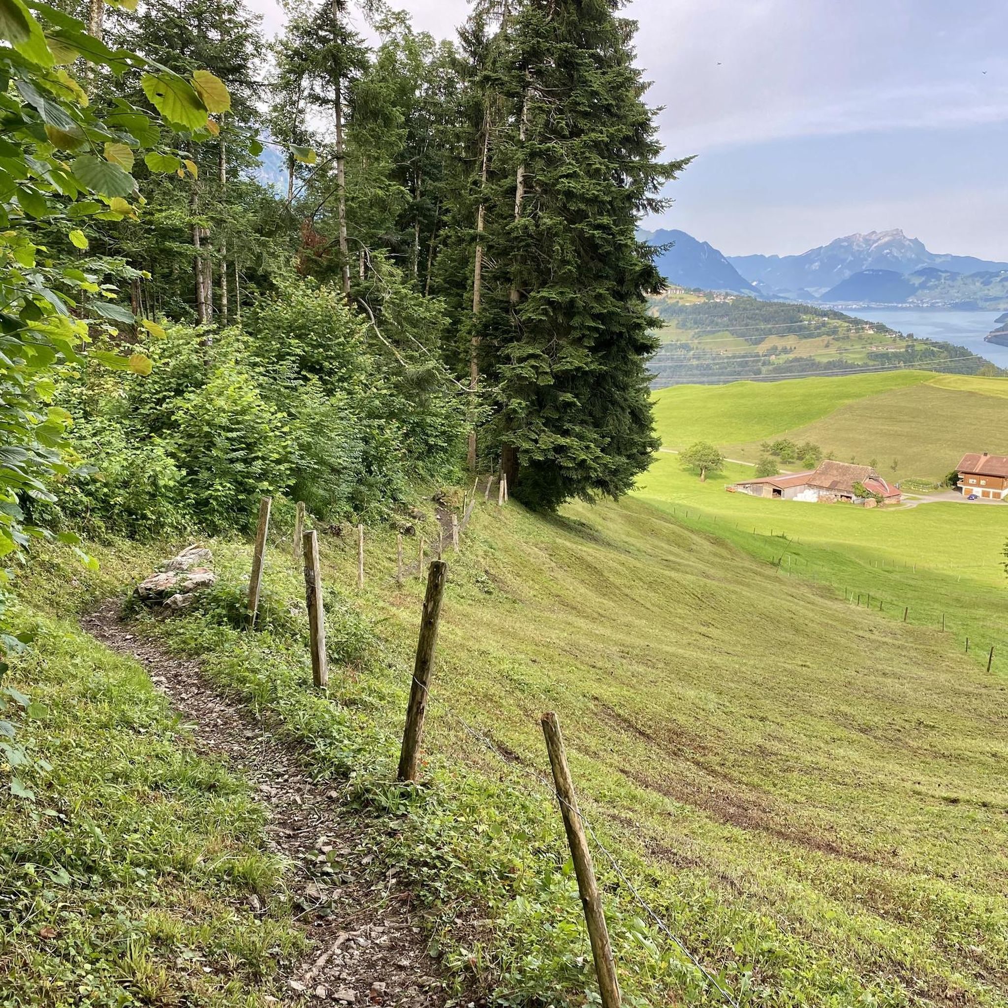
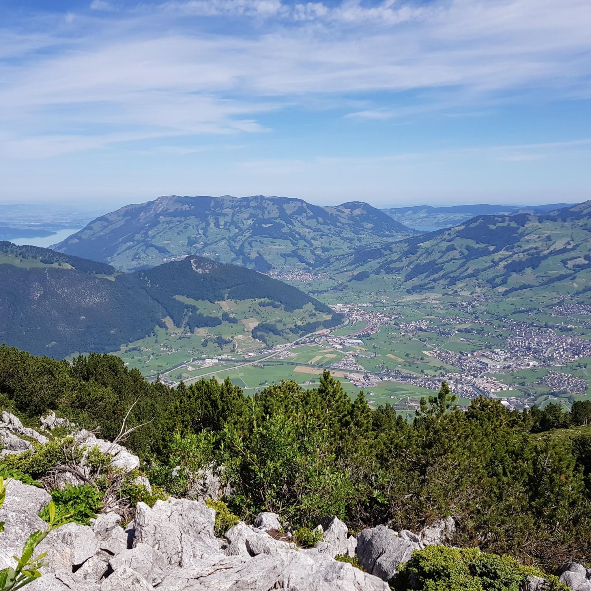
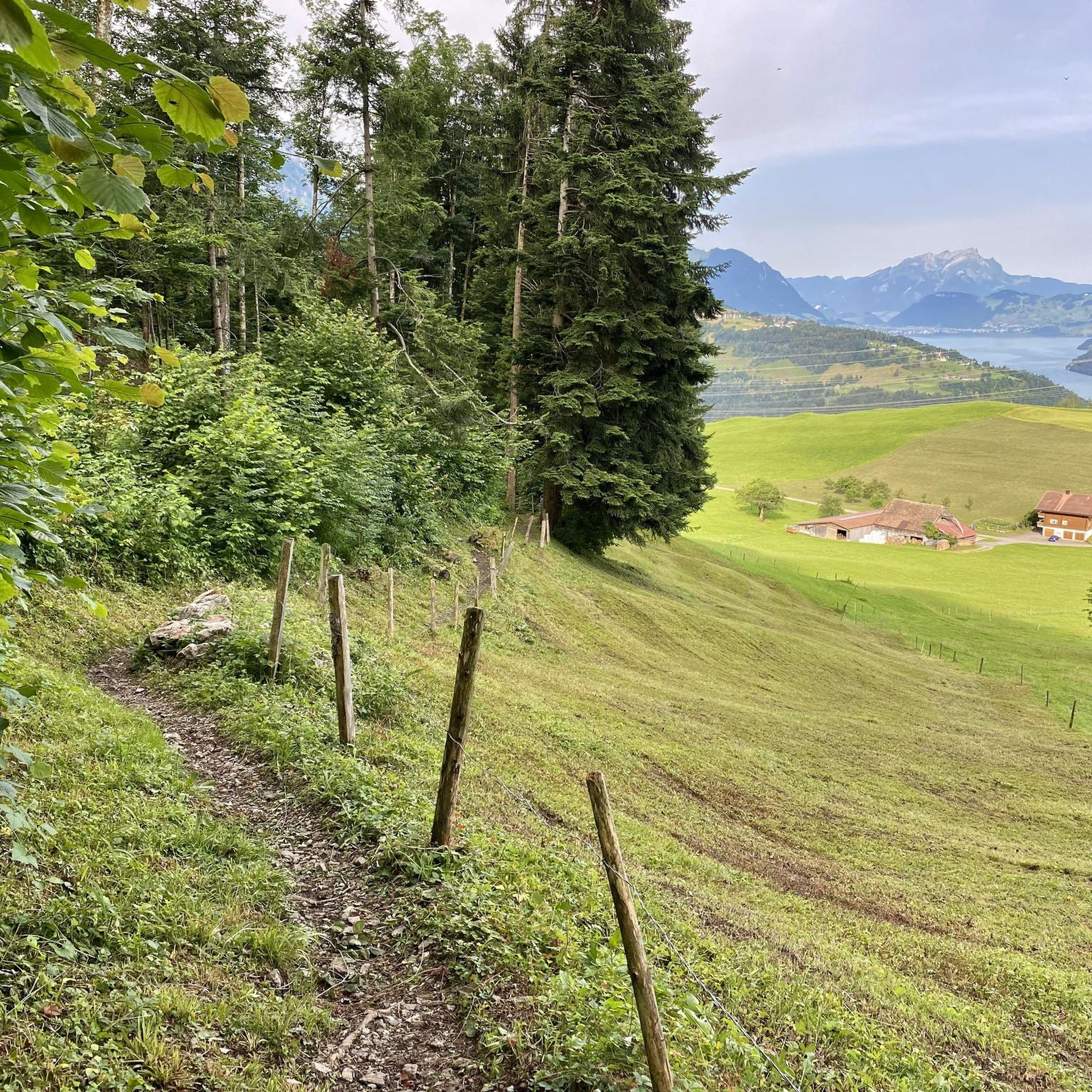


Tips from the Community

pretty here, very pretty
0
0

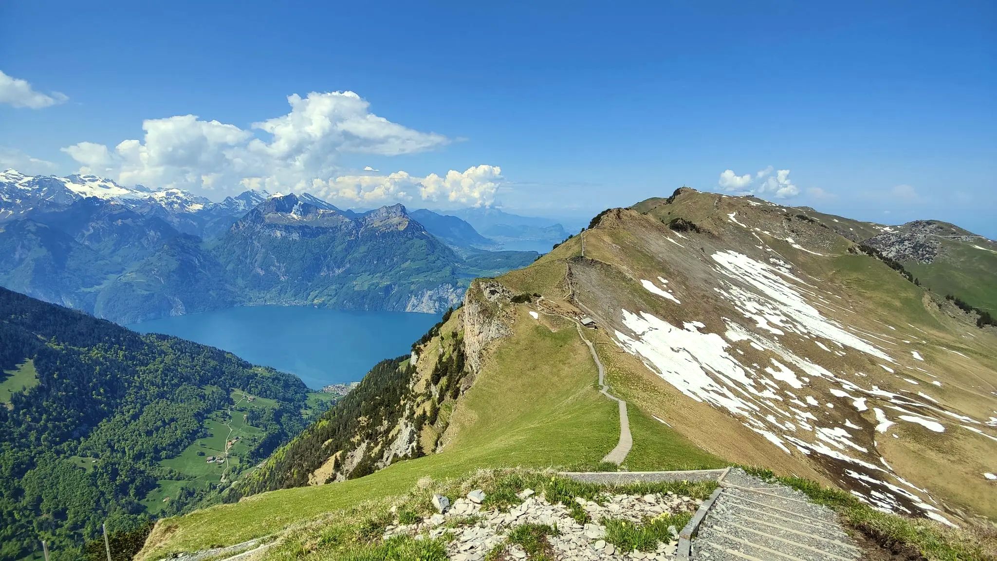
On the Fronalpstock, one of the most beautiful views of Lake Lucerne awaits you. But the panoramic view of the surrounding mountains is also fantastic. With the ridge trail to Klingenstock and the family-friendly Fronalpweg, two exciting hiking trails start from here.
0
0
pretty here, very pretty
3
0
Frequently Asked Questions
How many mountaineering routes are available around Morschach?
There are over 50 mountaineering routes around Morschach, offering a wide range of experiences. Most of these routes are categorized as moderate to difficult, providing varied challenges for mountaineers.
What are the difficulty levels of mountaineering routes in Morschach?
The mountaineering routes in Morschach primarily cater to moderate and difficult skill levels. You'll find 17 moderate routes and 39 difficult routes, ensuring options for experienced mountaineers seeking a challenge.
What do other mountaineers say about the routes in Morschach?
The routes in Morschach are highly regarded by the komoot community, boasting an impressive average rating of 4.9 stars from nearly 100 reviews. Mountaineers often praise the expansive views, challenging ascents, and well-maintained trails.
Are there any circular mountaineering routes in Morschach?
Yes, Morschach offers several excellent circular mountaineering routes. A popular option is the Klingenstock Viewpoint – Fronalpstock Summit loop from Stoos (Stoosbahn), which is a difficult 12.9 km trail. Another challenging loop is the Lidernhütte SAC – Rossstock Summit (2,461 m) loop from Klingenstock, covering 13.4 km through rugged alpine landscapes.
What are some notable viewpoints or scenic spots along the mountaineering routes?
Morschach is renowned for its panoramic views. Many routes offer breathtaking vistas of Lake Lucerne and the Uri Mountains. The Fronalpstock is particularly famous for having one of the best panoramic views in the region. The Fronalpstock Summit – View of the Mythen Peaks loop from Stoos (Stoosbahn) provides stunning perspectives of the Mythen peaks and the surrounding alpine landscape.
Are there any waterfalls or natural attractions to see while mountaineering?
Yes, the region around Morschach features several beautiful natural attractions. You can encounter waterfalls like the Risleten Waterfall and the Wandeli Waterfall. The area also has interesting geological features such as glacier mills and the Path Through the Wildspitz Molasse Cliffs.
What is the best time of year for mountaineering in Morschach?
The best time for mountaineering in Morschach is typically from late spring to early autumn (May to October), when the trails are clear of snow and weather conditions are generally stable. This period allows for optimal enjoyment of the high alpine ridges and panoramic views.
Are there options for winter mountaineering or activities in Morschach?
While this guide focuses on mountaineering, the Morschach region, especially around Stoos and Fronalpstock, transforms into a winter wonderland. You can find opportunities for snowshoeing, winter hiking, sledding, and cross-country skiing during the colder months, offering a different kind of outdoor experience.
How can I access the mountaineering routes using public transport?
Morschach is well-connected, and many routes are accessible via public transport. The village itself is a starting point, and the steepest funicular in the world, the Stoosbahn, provides spectacular access to Stoos, which is a common starting point for routes like the Klingenstock Viewpoint – Fronalpstock Summit loop.
Where can I park when going mountaineering in Morschach?
Parking is generally available at key access points for mountaineering routes. For routes starting from Stoos, you can typically find parking near the Stoosbahn valley station. For routes directly from Morschach, designated parking areas are available within or on the outskirts of the village.
Are there any family-friendly mountaineering routes near Morschach?
While many mountaineering routes in Morschach are rated difficult, there are also moderate options that can be suitable for families with older, experienced children. The region offers a wide array of general hiking trails, and for specific family-friendly mountaineering, it's best to check individual route descriptions for elevation gain and terrain.
Can I bring my dog on mountaineering trails in Morschach?
Many trails in the Morschach region are dog-friendly, but it's always advisable to check specific route details and local regulations before heading out. Ensure your dog is fit for the terrain and that you carry enough water for both of you, especially on longer, more challenging routes.
What is the longest mountaineering route near Morschach?
One of the longer and more challenging mountaineering routes is the Fronalpstock Summit – Klingenstock Viewpoint loop from Morschach. This difficult path spans 17.7 km and involves significant elevation gain, typically taking around 8 hours to complete.
Most popular routes around Morschach
Most popular attractions around Morschach

Get inspired with the komoot mobile app


Explore more
Browse the best Mountain Hikes & Routes in other regions.
