The best walks and hikes around Roynac
4.3
(923)
4,667
hikers
138
hikes
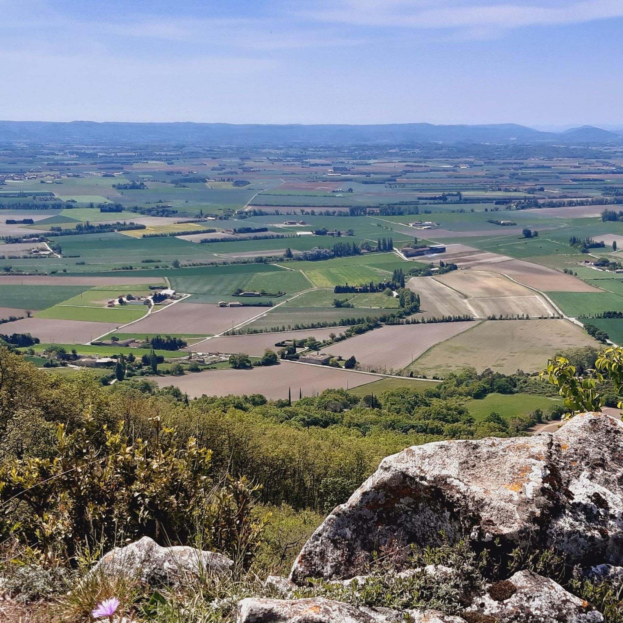
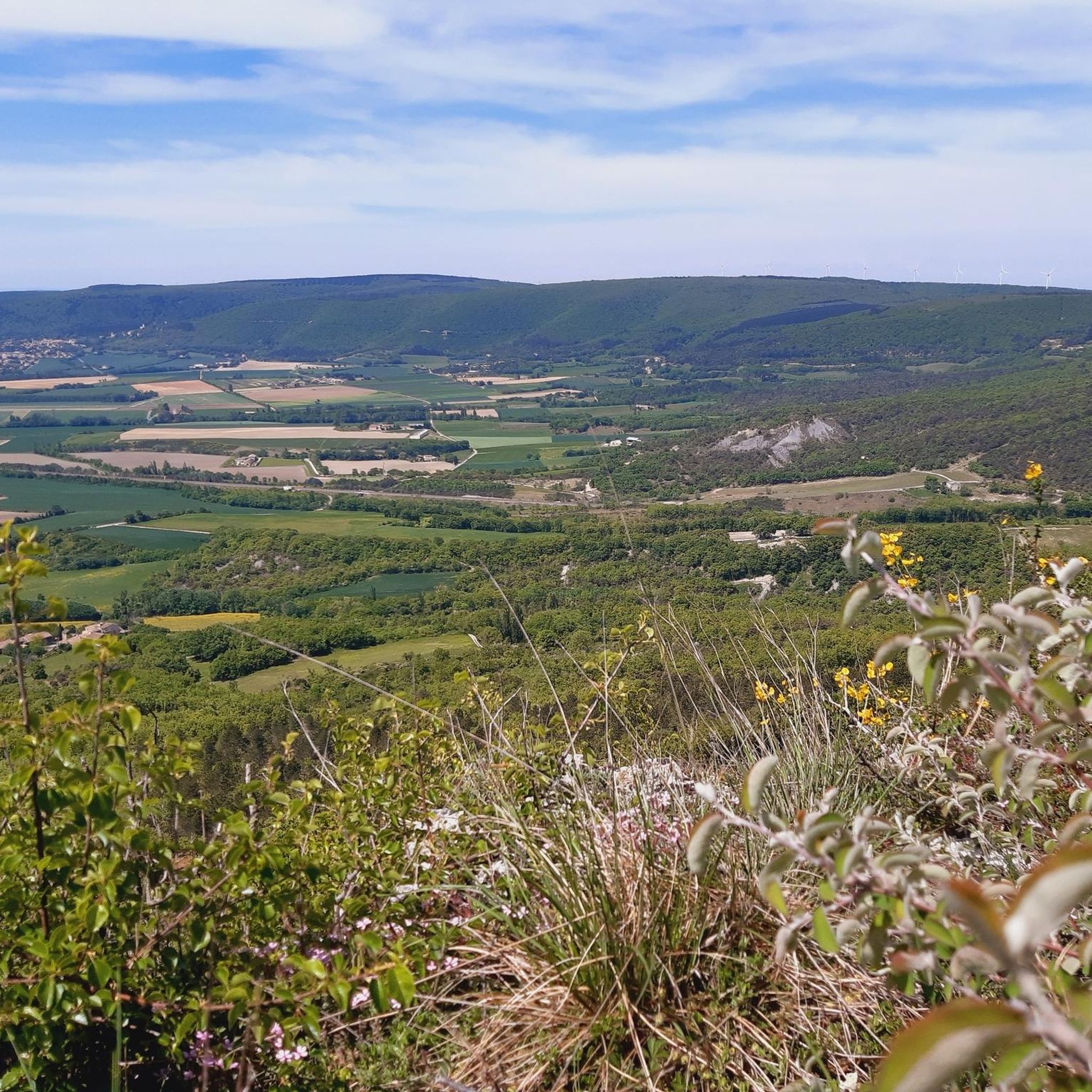
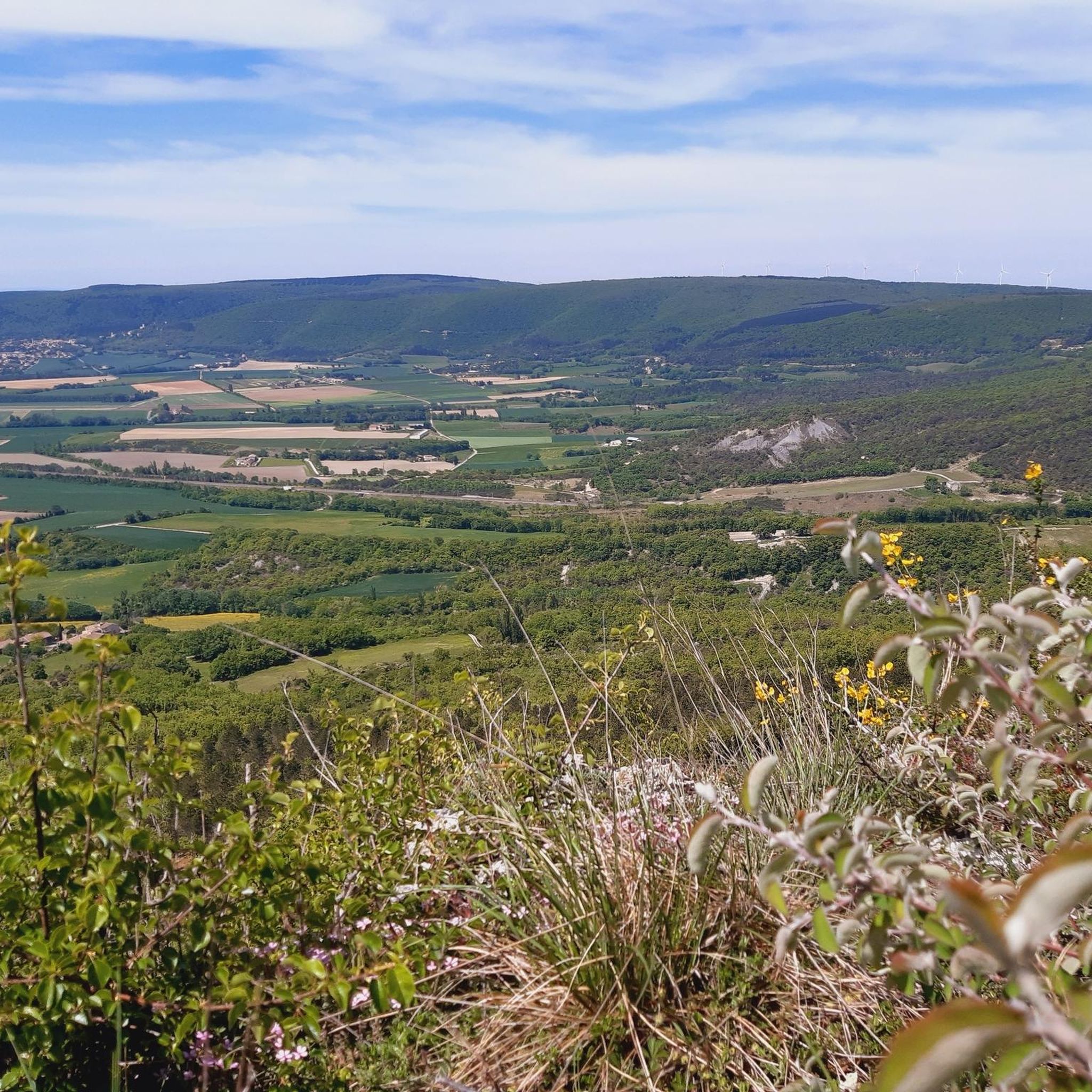
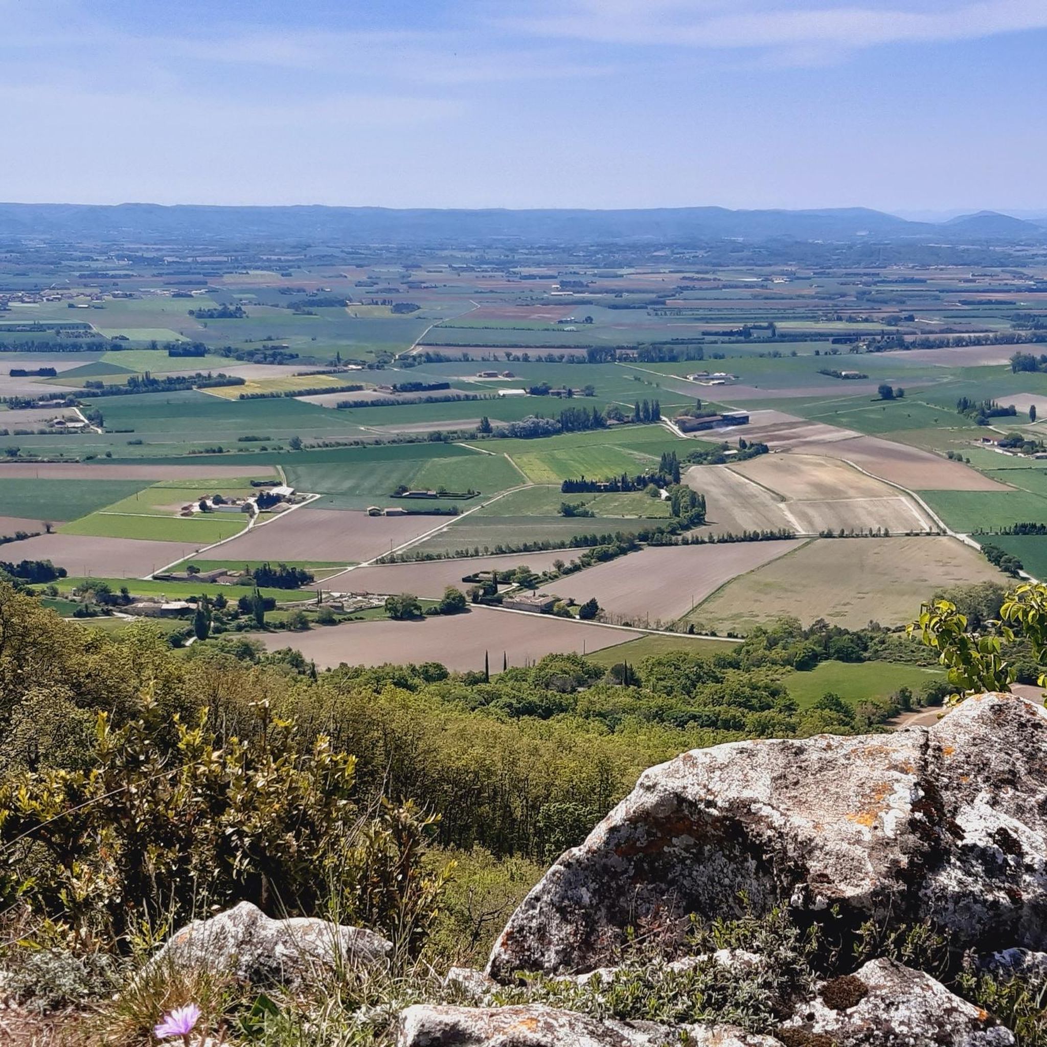
Hiking around Roynac offers a variety of routes through the rural landscape of the Drôme region. The terrain is characterized by rolling hills, agricultural fields, and scattered woodlands, providing a mix of open views and shaded paths. Elevations are generally moderate, with some routes featuring gradual ascents to viewpoints. The area provides opportunities for exploring local villages and natural surroundings on foot.
Best hiking trails around Roynac
- The most popular hiking route is Marsanne, Hilltop Village – Saint-Félix Church loop…
Last updated: November 1, 2026
4.6
(17)
62
hikers
12.0km
03:33
350m
350m
Moderate hike. Good fitness required. Easily walkable paths.
4.5
(11)
35
hikers
Moderate hike. Good fitness required. Easily walkable paths.

4.4
(12)
30
hikers
Moderate hike. Good fitness required. Easily walkable paths.
4.0
(3)
18
hikers
Moderate hike. Good fitness required. Easily walkable paths.
5.0
(4)
23
hikers
Moderate hike. Good fitness required. Easily walkable paths.
Get access to more routes and recommendations from other explorers.
Already have an account?
Our route recommendations are based on thousands of hikes, rides, and runs completed by other people on komoot.
Start today with a free account
Your next adventure awaits.

Tips from the Community

very pretty walk from Marsanne to Grane
0
0

Beautiful village center of Marsanne with church, municipal administration and various shops and restaurants.
0
0
Beautiful view from the road to Marsanne of the castle ruins and the restored church 😎
1
0

Marsanne is a very pretty little village where it is nice to take a break in the shade of its plane trees.
0
0

The owner of the Aubergistes restaurant is also the owner of the very nice Hotel Restaurant La Conserverie. Very nice retro interior. No two chairs or tables are the same. Also a nice terrace
0
1

The perched village is recognizable from afar, thanks to the white silhouette of the Saint-Félix church which culminates at the summit of Marsanne. For a complete tour of the site, let yourself be guided by the last vestiges of the Montluisant castle. Don't forget to pass by the Marsanne vines (whose grape variety is used in Côtes-du-Rhône appellation wines).
0
0

Several circuits departing from Marsanne of 5km Serre de Paruel at 22km “hike the Extrêmes”
0
1

nice object for "I'm leaving"
0
0
Frequently Asked Questions
How many hiking trails are available around Roynac?
There are over 130 hiking trails around Roynac, offering a wide range of options for different skill levels and preferences. You'll find everything from easy strolls to more challenging routes.
What kind of terrain can I expect on hikes near Roynac?
Hikes around Roynac typically feature a rural landscape with rolling hills, agricultural fields, and scattered woodlands. The terrain offers a mix of open views and shaded paths, with generally moderate elevations and gradual ascents to viewpoints.
Are there easy hiking options suitable for beginners or families?
Yes, Roynac offers many easy hiking options. For instance, the Church in the village center – Marsanne, Hilltop Village loop from Les Bastets is an easy 3.6-mile (5.8 km) trail that leads through rolling hills and village scenery, perfect for a relaxed outing.
Are there any circular hiking routes in the area?
Many of the trails around Roynac are circular, allowing you to start and end at the same point. A popular moderate circular route is Marsanne, Hilltop Village – Saint-Félix Church loop from Les Bastets, which covers 7.4 miles (12.0 km) with moderate climbs and scenic views.
Can I bring my dog on the hiking trails near Roynac?
Generally, dogs are welcome on trails in the Drôme region, but it's always best to keep them on a leash, especially near agricultural areas, livestock, or in nature reserves. Please ensure you clean up after your pet to maintain the natural environment.
What are some interesting places to see or landmarks along the trails?
While hiking near Roynac, you can explore charming settlements like Marsanne, Hilltop Village or Mirmande, a hilltop village. For natural sights, consider visiting the Ramières Ponds or the unique Colombe Rock.
What is the best time of year to go hiking in Roynac?
The Drôme region, where Roynac is located, generally offers pleasant hiking conditions from spring through autumn. Spring brings blooming wildflowers, while autumn provides comfortable temperatures and beautiful fall foliage. Summer can be warm, so early morning or late afternoon hikes are often preferred.
Are there any challenging hikes for experienced hikers?
Yes, for those seeking a more strenuous experience, there are a few difficult routes. An example is the Saint-Félix Church – Col de la Grande Limite loop from Marsanne - Le Fouret, a 10.8-mile (17.4 km) trail with significant elevation gain, offering a good challenge.
Where can I find parking for hiking trails in Roynac?
Parking is typically available in or near the villages that serve as trailheads, such as Marsanne or Roynac itself. Look for designated parking areas or public spaces within these villages. Specific parking details are often provided on individual komoot Tour pages.
What do other hikers say about the trails in Roynac?
The trails in Roynac are highly rated by the komoot community, with an average score of 4.4 stars from over 880 reviews. Hikers often praise the peaceful rural paths, the charming village scenery, and the well-maintained routes that offer a pleasant outdoor experience.
Are there options for longer, more strenuous hikes?
Yes, if you're looking for longer distances, routes like Saint-Félix Church – Church in the village center loop from Marsanne - Le Fouret cover nearly 9.7 miles (15.7 km) and traverse rural paths with moderate elevation changes, providing a good workout.
How long do hikes near Roynac typically take?
Hike durations vary significantly based on distance and difficulty. Shorter, easy trails like Auriples Gravel Descent loop from Roynac can be completed in about 1 hour 55 minutes, while longer, moderate routes might take 3-5 hours or more.
Most popular attractions around Roynac

Get inspired with the komoot mobile app


Explore more
Browse the best Hikes in other regions.
