The best mountain hikes around Reichenburg
4.9
(49)
414
hikers
28
hikes
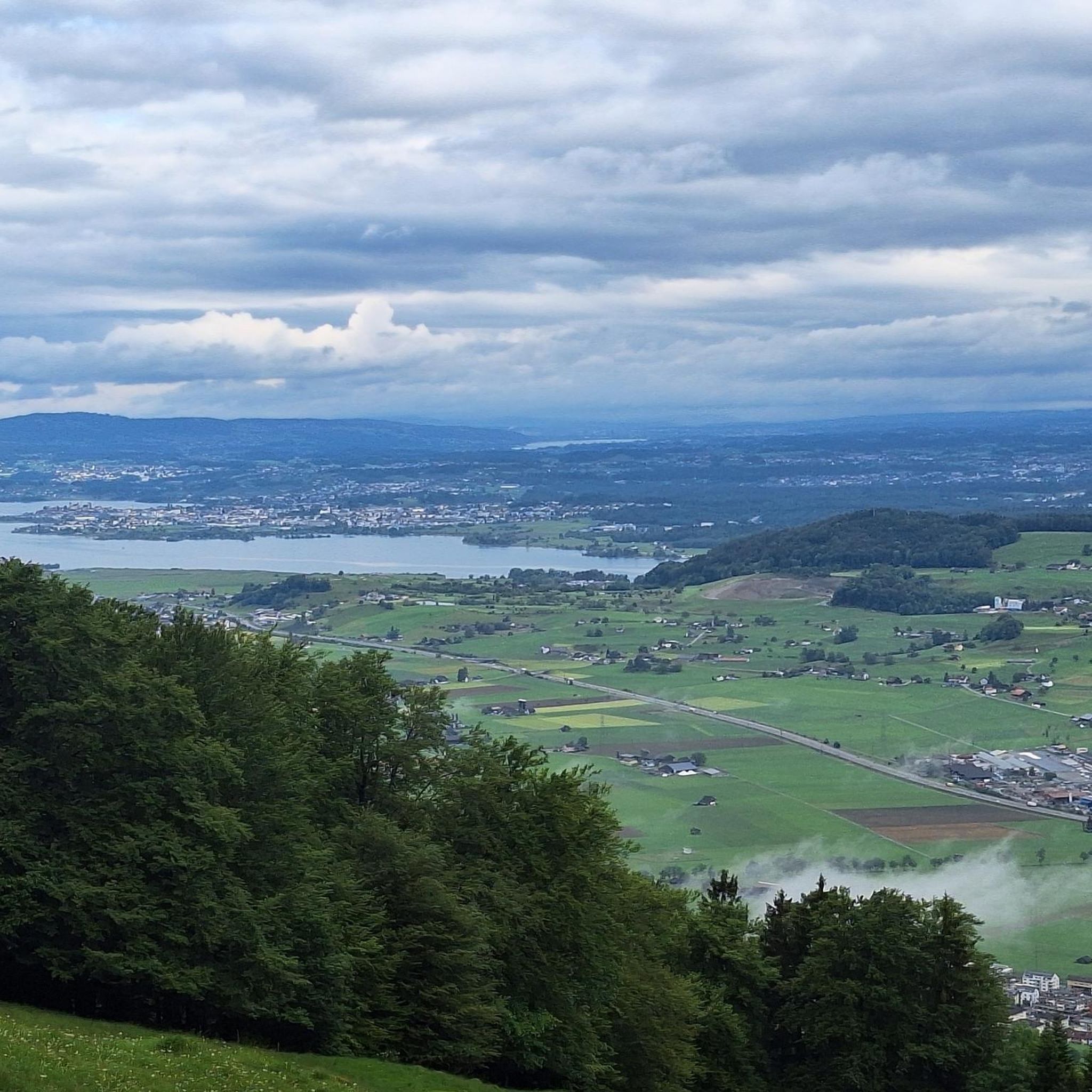
Mountaineering around Reichenburg offers access to a diverse landscape in the canton of Schwyz, Switzerland. The region is characterized by its mountainous terrain, featuring prominent peaks that provide extensive views of surrounding lakes and the Glarner and Urner Alps. Lush forests and voralpine areas contribute to a varied environment, with elevations ranging from Reichenburg's base at 434 meters to higher summits. This setting provides a natural playground for challenging alpine ascents and demanding mountain routes.
Best mountaineering routes around Reichenburg
…Last updated: October 23, 2026
5.0
(3)
53
hikers
12.4km
05:52
990m
990m
Hard mountaineering route. Very good fitness required. Mostly walkable paths. Sure-footedness required.
23
hikers
8.48km
04:03
650m
650m
Hard mountaineering route. Good fitness required. Sure-footedness, sturdy shoes and alpine experience required.

4.0
(2)
14
hikers
10.4km
04:54
800m
800m
Hard mountaineering route. Good fitness required. Sure-footedness, sturdy shoes and alpine experience required.
5.0
(3)
11
hikers
13.0km
05:40
750m
750m
Hard mountaineering route. Very good fitness required. Sure-footedness, sturdy shoes and alpine experience required.
5.0
(2)
7
hikers
16.7km
10:10
1,710m
1,710m
Hard mountaineering route. Very good fitness required. Sure-footedness, sturdy shoes and alpine experience required.
Get access to more routes and recommendations from other explorers.
Already have an account?
Our route recommendations are based on thousands of hikes, rides, and runs completed by other people on komoot.
Start today with a free account
Your next adventure awaits.

Tips from the Community

pretty here, very pretty
1
0

You are also allowed to camp there. WC and sanitary facilities available, as well as a dry room.
2
0

Another wonderful 360° panorama
0
0
Frequently Asked Questions
How many mountaineering routes are available around Reichenburg?
There are over 35 distinct mountaineering routes around Reichenburg, catering to various skill levels. The majority, about 30, are classified as difficult, offering significant challenges and rewarding ascents.
What kind of views can I expect on mountaineering routes near Reichenburg?
Mountaineering routes around Reichenburg offer magnificent panoramic views. You can expect to see Lake Zurich and Lake Wägital, as well as the impressive Glarner and Urner Alps and the Alpstein region. Peaks like Gross Aubrig, Hirzli, and Planggenstock are particularly noted for their sensational vistas after a climb.
Are there any circular mountaineering routes in the area?
Yes, several routes are designed as loops, allowing you to start and finish at the same point. For example, the Wägitalersee – Brünnelistock loop offers a challenging ascent with expansive views, returning you to Wägitalersee. Another option is the Bockmattli Hut – Bockmattlistock Summit loop, providing a demanding alpine experience.
What are some challenging mountaineering routes near Reichenburg?
For experienced mountaineers, the region offers numerous difficult routes. Beyond the popular ones, consider the Gross Aubrig Summit loop from March, which provides a substantial climb and rewarding views. Another demanding option is the Wageten Summit – Brüggler Ridge loop from Matt, known for its alpine character.
What natural attractions can I find along or near the mountaineering trails?
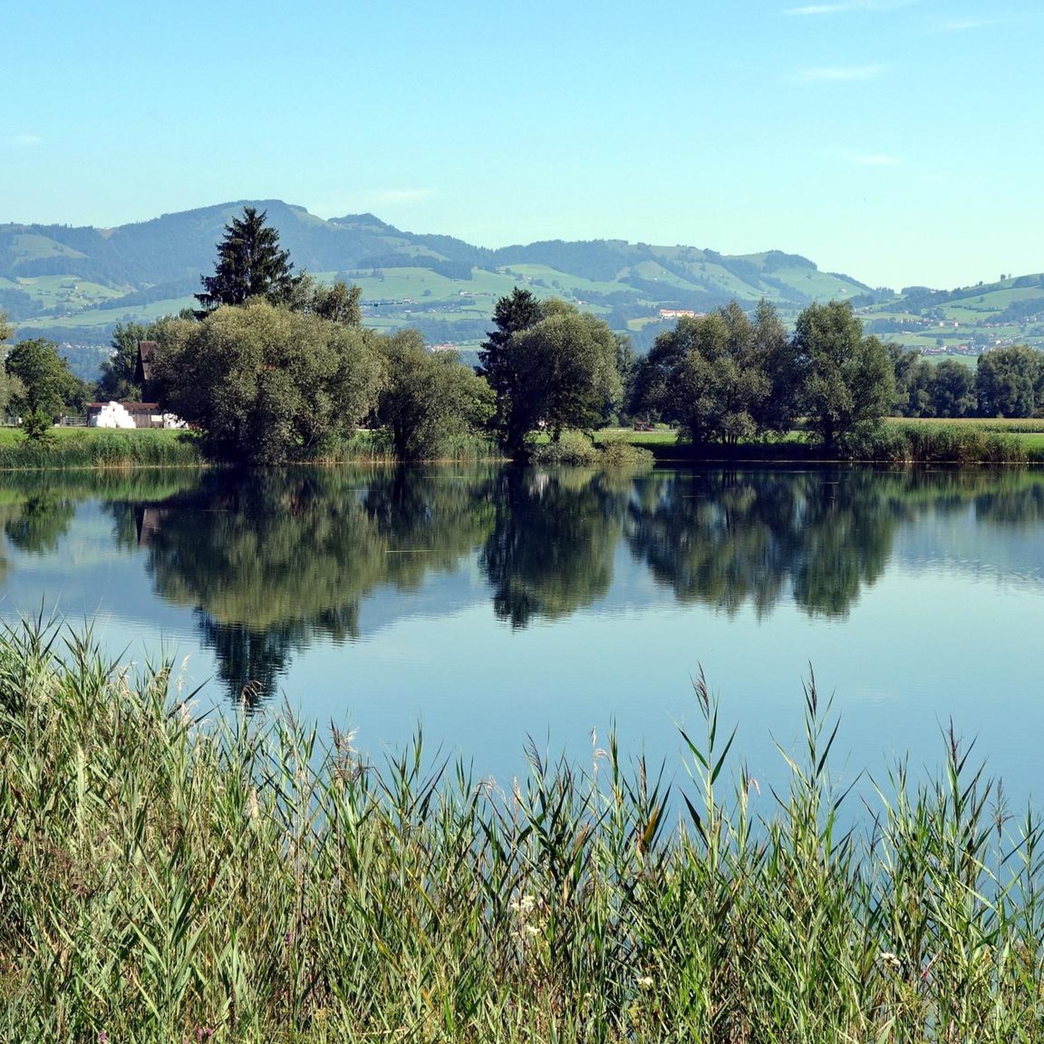
The region is rich in natural beauty. You might encounter stunning gorges like the Spreitenbach Gorge or the Neuhüslertobel Gorge. Additionally, you can explore natural monuments such as the Obersee East Shore or enjoy the serene Lake Wägital. Some routes also pass by impressive summits like Federispitz or Speer Summit.
Is Reichenburg suitable for family-friendly mountaineering or hiking?
While many mountaineering routes are challenging, Reichenburg and its surroundings offer diverse terrain. There are easier hiking trails that are more suitable for families, particularly in the lush forests and voralpine areas. These provide a good introduction to the region's natural beauty without the extreme demands of summit ascents. Always check the specific route difficulty before heading out with children.
What is the best time of year for mountaineering in Reichenburg?
The best time for mountaineering in Reichenburg is typically during the warmer months, from late spring to early autumn (May to October), when trails are generally free of snow and weather conditions are more stable. Always check local weather forecasts and trail conditions, especially for higher elevations, as conditions can change rapidly in the mountains.
How do other mountaineers rate the routes around Reichenburg?
The mountaineering routes around Reichenburg are highly regarded by the komoot community, boasting an impressive average rating of 4.9 stars from over 50 reviews. Mountaineers frequently praise the challenging ascents, the diverse landscape, and the magnificent panoramic views of the Swiss Alps.
Are there options for public transport to access mountaineering trails near Reichenburg?
Reichenburg is located in a well-connected region of Switzerland. While specific trailheads might require a short walk or local bus connection, public transport options, including trains and buses, can get you close to many starting points for mountaineering routes. It's advisable to check local transport schedules for the specific trailhead you plan to access.
Are there any less crowded or 'hidden gem' mountaineering routes?
While popular routes attract many, the extensive network of trails around Reichenburg means you can often find quieter paths. Exploring routes slightly off the main peaks or during off-peak hours can lead to a more secluded experience. The region's diverse terrain, with its forests and voralpine areas, offers many opportunities for peaceful exploration away from the busiest spots.
Can I find accommodation or places to eat near the mountaineering routes?
Reichenburg and the surrounding villages offer various options for accommodation, from hotels to guesthouses, catering to hikers and mountaineers. You'll also find local restaurants and cafes where you can refuel after your adventures, often serving traditional Swiss cuisine. It's recommended to book accommodation in advance, especially during peak season.
Are there any waterfalls to see on the mountaineering routes?
Yes, the region's natural landscape includes several beautiful waterfalls. For instance, the Bruggerbach Gorge Waterfalls are a notable highlight that you might encounter or find nearby while exploring the area's gorges and natural monuments.
Most popular routes around Reichenburg
Most popular attractions around Reichenburg

Get inspired with the komoot mobile app


Explore more
Browse the best Mountain Hikes & Routes in other regions.
