The best mountain hikes around Galgenen
4.8
(29)
243
hikers
17
hikes
Mountaineering routes Galgenen are situated in the canton of Schwyz, Switzerland, offering diverse landscapes for alpine exploration. The region features significant elevation gains, with peaks like Gross Aubrig and Chli Aubrig providing expansive panoramic views. Characterized by lush alpine meadows, clear lakes, and extensive forested areas, Galgenen presents varied terrain for mountaineers. These routes often demand good fitness and alpine experience, aligning with challenging SAC ratings in their most difficult sections.
Best mountaineering routes around Galgenen
- The most popular mountaineering…
Last updated: June 23, 2026
5.0
(2)
43
hikers
12.5km
05:54
990m
990m
Hard mountaineering route. Very good fitness required. Sure-footedness, sturdy shoes and alpine experience required.
5.0
(1)
25
hikers
9.91km
03:12
420m
420m
Moderate mountaineering route. Good fitness required. Easily-accessible paths. Suitable for all skill levels.

Sign up for free
17
hikers
8.00km
02:49
410m
410m
Hard mountaineering route. Good fitness required. Sure-footedness, sturdy shoes and alpine experience required.
4.0
(2)
14
hikers
10.4km
04:54
800m
800m
Hard mountaineering route. Good fitness required. Sure-footedness, sturdy shoes and alpine experience required.
5.0
(1)
8
hikers
13.8km
05:03
700m
700m
Hard mountaineering route. Very good fitness required. Mostly accessible paths. Sure-footedness required.
Get access to more routes and recommendations from other explorers.
Sign up for free
Already have an account?
Our route recommendations are based on thousands of hikes, rides, and runs completed by other people on komoot.
Start today with a free account
Your next adventure awaits.
Login or Signup

Tips from the Community


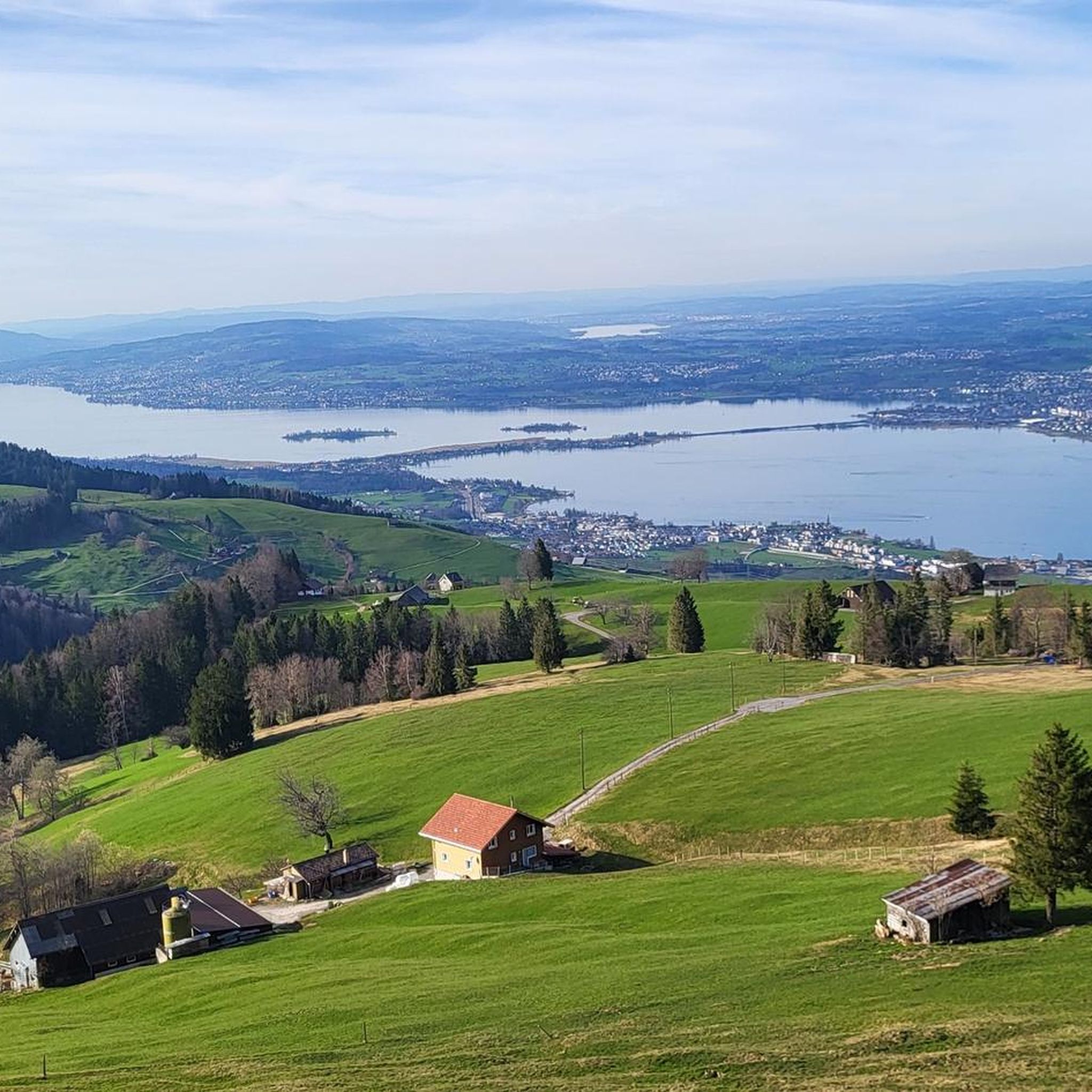
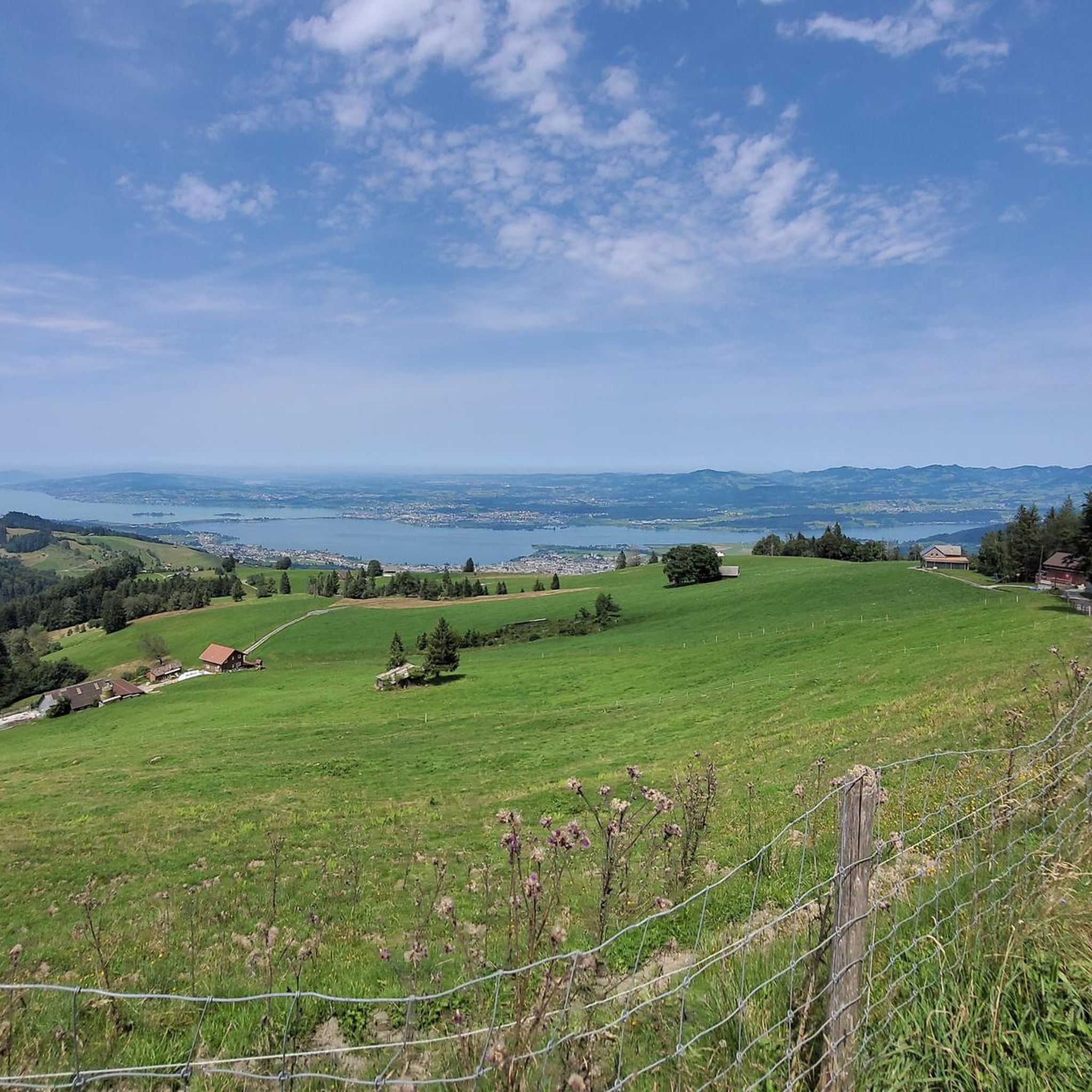
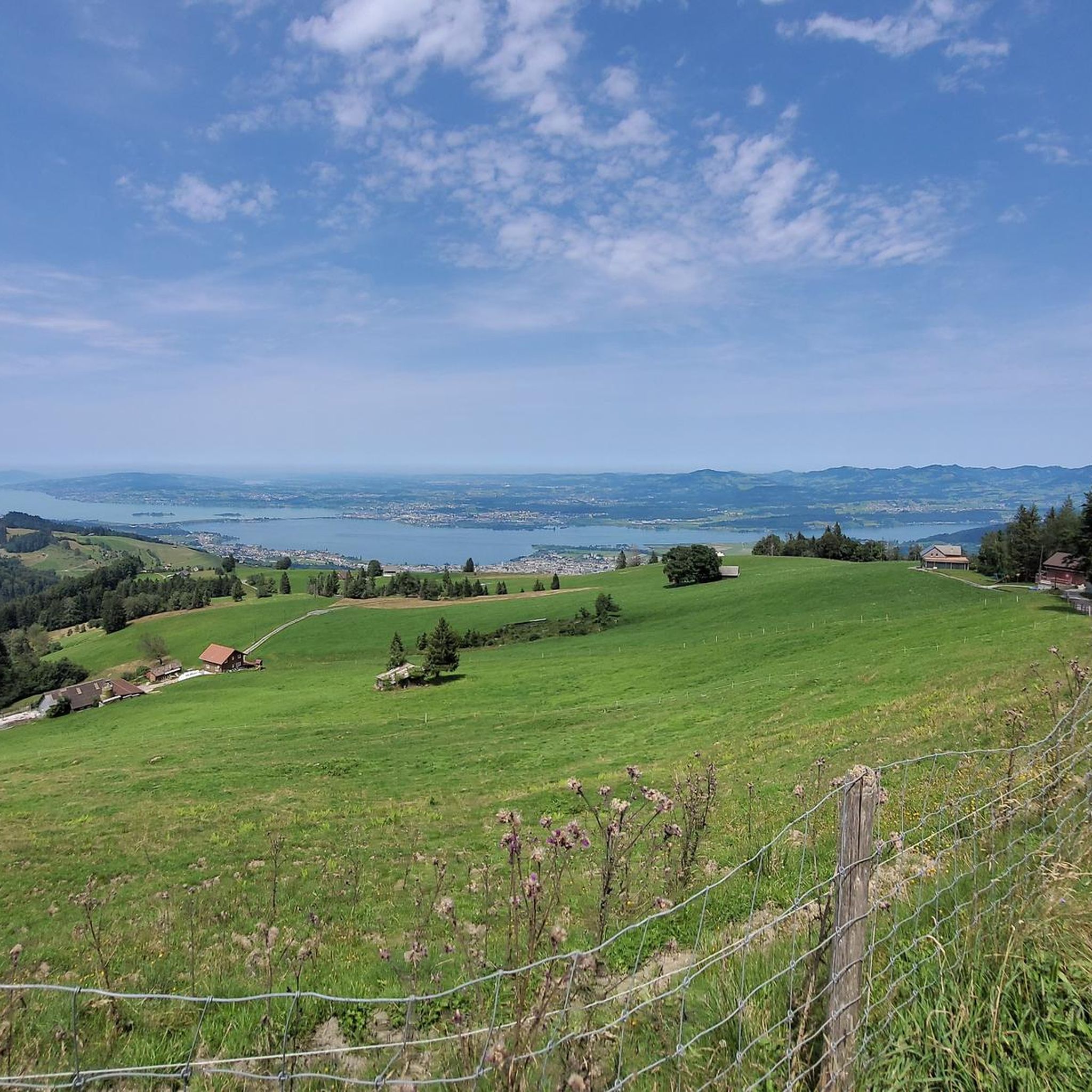
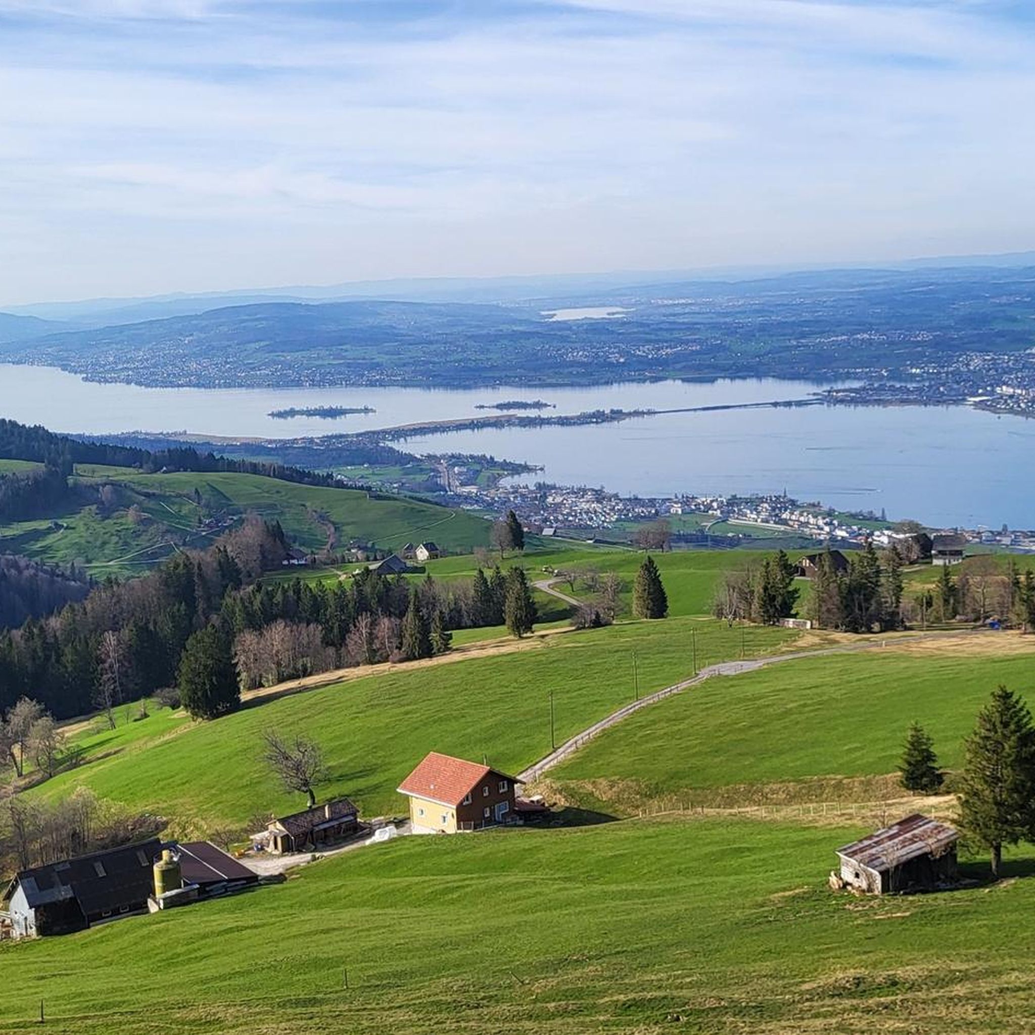
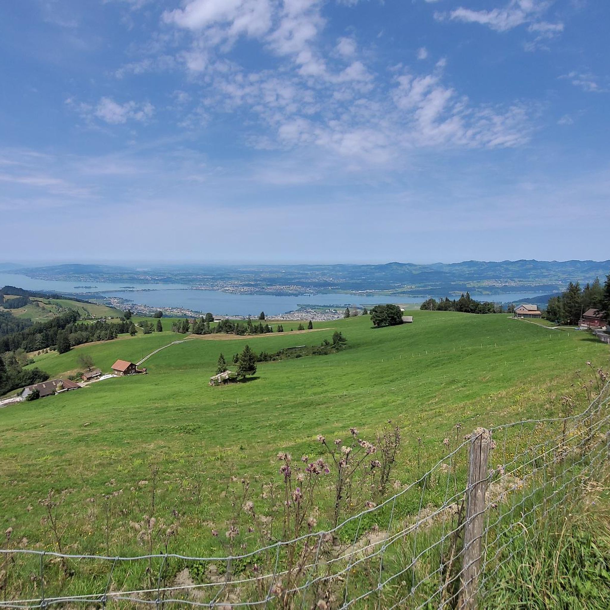
Not an entirely easy ascent. But rewarded with a magnificent panorama. Can be combined well with the Chli Aubrig.
3
0
The Chli Aubrig is a prominent pre-Alpine peak in the canton of Schwyz, reaching an altitude of 1642 meters. From its scenic summit, it offers an impressive view of Lake Zurich, the Schwyz Alps, and the Mittelland. Thanks to well-marked hiking trails, the Chli Aubrig is a popular destination for hikers and nature lovers.
3
0

magnificent view of the Alps
0
0

This "highlight" is misleading under this name, this is not the Chli Aubrig!
0
0
Frequently Asked Questions
How many mountaineering routes are available around Galgenen?
There are nearly 20 mountaineering routes around Galgenen. These trails offer a range of experiences, from moderate ascents to challenging climbs requiring alpine experience.
What level of experience is required for mountaineering routes in Galgenen?
Galgenen offers a mix of mountaineering routes. While there are 4 moderate routes suitable for those with good fitness, the majority (15 routes) are considered difficult. These more challenging trails, such as the Bockmattli Hut – Bockmattlistock Summit loop from March, demand good fitness, sure-footedness, sturdy shoes, and prior alpine experience, aligning with SAC ratings of 4–6 for their most difficult sections.
Are there any family-friendly mountaineering options near Galgenen?
While many mountaineering routes in Galgenen are challenging, the region also offers a wealth of hiking trails suitable for different fitness levels. For families looking for less strenuous options, consider exploring the diverse terrain around Lake Zurich or some of the more accessible paths in the forested areas. Always check the route's difficulty and elevation gain before setting out with children.
Can I bring my dog on the mountaineering trails in Galgenen?
Many trails in the Galgenen region are dog-friendly, allowing you to enjoy the alpine scenery with your canine companion. However, it's always advisable to check specific route details for any restrictions, especially on more challenging or exposed sections. Ensure your dog is fit for the terrain and that you carry enough water for both of you.
What kind of views can I expect on the mountaineering routes?
Mountaineering around Galgenen is renowned for its panoramic summit views. Ascending peaks like Gross Aubrig, Chli Aubrig, and Hirzli rewards climbers with expansive vistas of Lake Zurich, Lake Wägital, and the majestic Glarner and Urner Alps, as well as the distant Toggenburg and Alpstein regions. The ridge path between Hirzli and Planggenstock is particularly noted for its scenic beauty.
Are there any circular mountaineering routes in Galgenen?
Yes, Galgenen features several excellent circular mountaineering routes. For instance, the Alp Wildegg Mountain Hut – Chli Aubrig Summit loop from Sattelegg is a moderate circular path offering great views. Another option is the Gross Aubrig Summit loop from March, which leads through varied alpine terrain.
What is the best time of year for mountaineering in Galgenen?
The best time for mountaineering in Galgenen is typically during the warmer months, from late spring to early autumn (roughly May to October), when trails are clear of snow and weather conditions are more stable. Always check local weather forecasts and trail conditions before heading out, as alpine weather can change rapidly.
What do other mountaineers enjoy most about the routes in Galgenen?
The mountaineering routes in Galgenen are highly rated by the komoot community, with an average score of 4.8 stars from over 29 reviews. Reviewers often praise the diverse terrain, the breathtaking panoramic views from the summits, and the well-maintained paths that lead through lush alpine meadows and extensive forested areas.
Are there any natural attractions or landmarks to see near the mountaineering routes?
Yes, the region around Galgenen is rich in natural beauty. You can explore highlights such as Lake Wägital, the dramatic Neuhüslertobel Gorge, or the serene Egelsee (Moor Lake). These natural monuments offer additional points of interest to discover during your visit.
Are there any historical sites or castles in the vicinity of Galgenen?
Beyond the natural landscapes, the area around Galgenen also features interesting historical sites. You might consider visiting Schloss Grynau and country inn or Pfäffikon Castle. These offer a glimpse into the region's past and can be a pleasant addition to your trip.
How long do the mountaineering routes typically take to complete?
The duration of mountaineering routes in Galgenen varies significantly based on difficulty and length. For example, the difficult Bockmattli Hut – Bockmattlistock Summit loop from March can take nearly 6 hours, while the moderate Alp Wildegg Mountain Hut – Chli Aubrig Summit loop from Sattelegg typically takes around 3 hours and 12 minutes. Always check the estimated duration for your chosen route.
Is public transport available to reach trailheads in Galgenen?
Public transport options are generally available in Switzerland, including to areas near hiking and mountaineering trailheads. While specific routes may require a combination of train and bus, it's often possible to reach starting points without a car. We recommend checking local transport schedules for the most up-to-date information on reaching specific trailheads like those for Stockberg Summit or Pfiiffegg-Alp.
Are there places to eat or stay near the mountaineering routes in Galgenen?
Galgenen and its surrounding villages offer various options for dining and accommodation. You'll find cafes and restaurants where you can refuel after your mountaineering adventures. For overnight stays, there are guesthouses and hotels available, particularly in the larger towns nearby, providing a comfortable base for exploring the region.
Most popular routes around Galgenen
Most popular attractions around Galgenen

Get inspired with the komoot mobile app


Explore more
Browse the best Mountain Hikes & Routes in other regions.
