The best walks and hikes around Le Tourne
4.4
(320)
1,315
hikers
127
hikes
Hiking around Le Tourne offers access to the diverse landscapes of the Gironde department in Nouvelle-Aquitaine, France. The region is characterized by riverside trails along the Garonne and its tributaries, alongside vineyards and wooded areas. Hikers can explore a blend of natural beauty and cultural heritage sites. The terrain includes varied paths suitable for different skill levels, from gentle riverside walks to more challenging routes through rural landscapes.
Best hiking trails around Le Tourne
- The most popular hiking route is…
Last updated: August 23, 2026
4.2
(18)
61
hikers
8.21km
02:16
140m
150m
Moderate hike. Good fitness required. Easily-accessible paths. Suitable for all skill levels.
4.8
(16)
40
hikers
9.93km
02:50
230m
230m
Moderate hike. Good fitness required. Easily-accessible paths. Suitable for all skill levels.

Sign up for free
4.7
(3)
12
hikers
12.4km
03:17
120m
110m
Moderate hike. Good fitness required. Easily-accessible paths. Suitable for all skill levels.
3.0
(1)
7
hikers
19.3km
05:18
310m
310m
Hard hike. Very good fitness required. Easily-accessible paths. Suitable for all skill levels.
3.5
(2)
7
hikers
7.74km
02:03
80m
80m
Moderate hike. Good fitness required. Easily-accessible paths. Suitable for all skill levels.
Get access to more routes and recommendations from other explorers.
Sign up for free
Already have an account?
Our route recommendations are based on thousands of hikes, rides, and runs completed by other people on komoot.
Start today with a free account
Your next adventure awaits.
Login or Signup
Tips from the Community

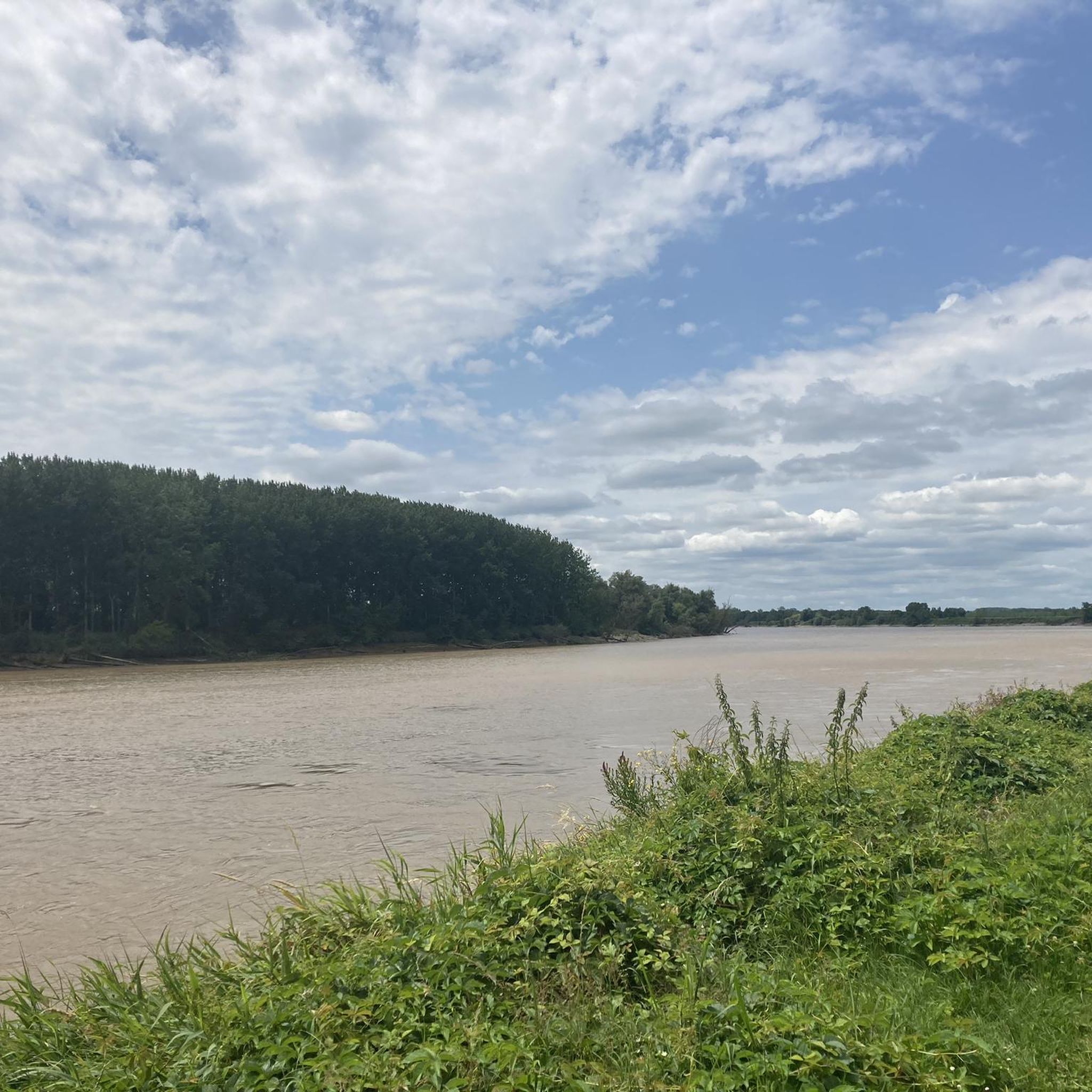
between horses, egrets, coypus and moorhens
0
0


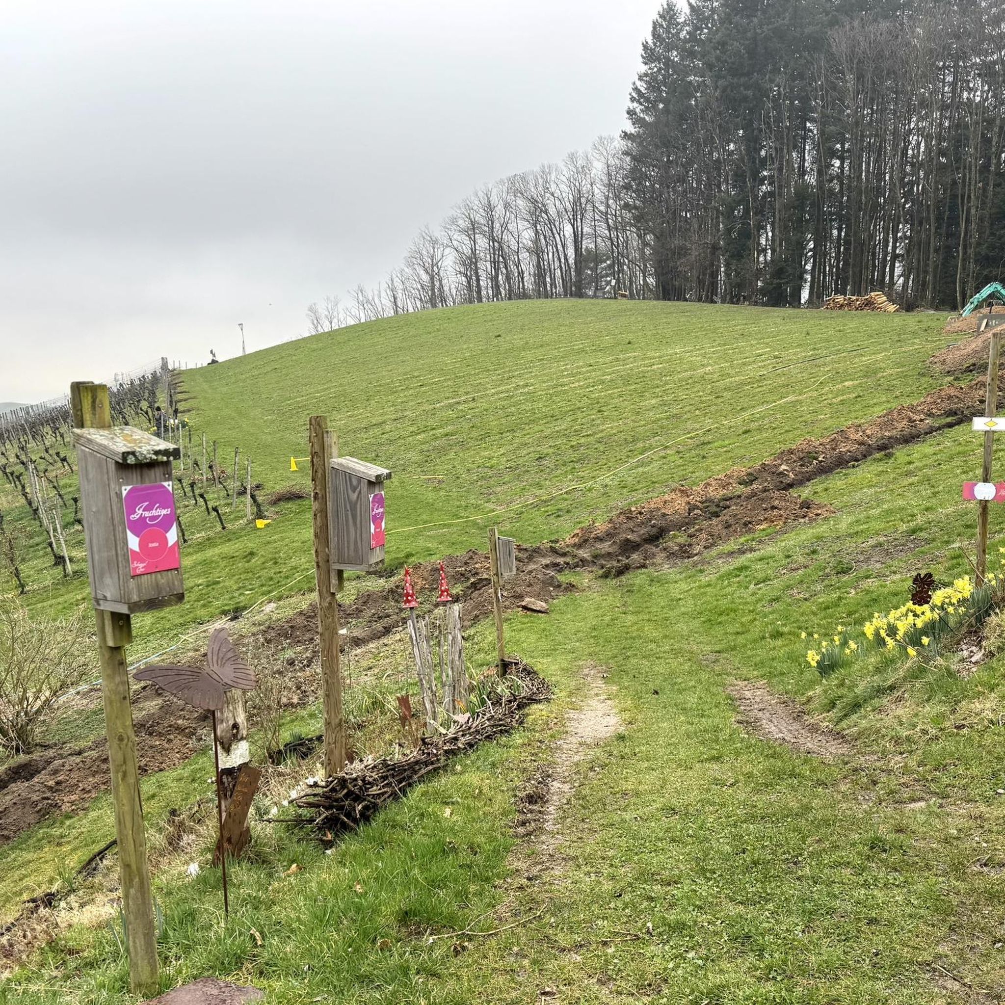
Single passable without ruts, nice and easily accessible from the Lapébie track and a few alleys!
0
0

The perfect place for a picnic break
0
0

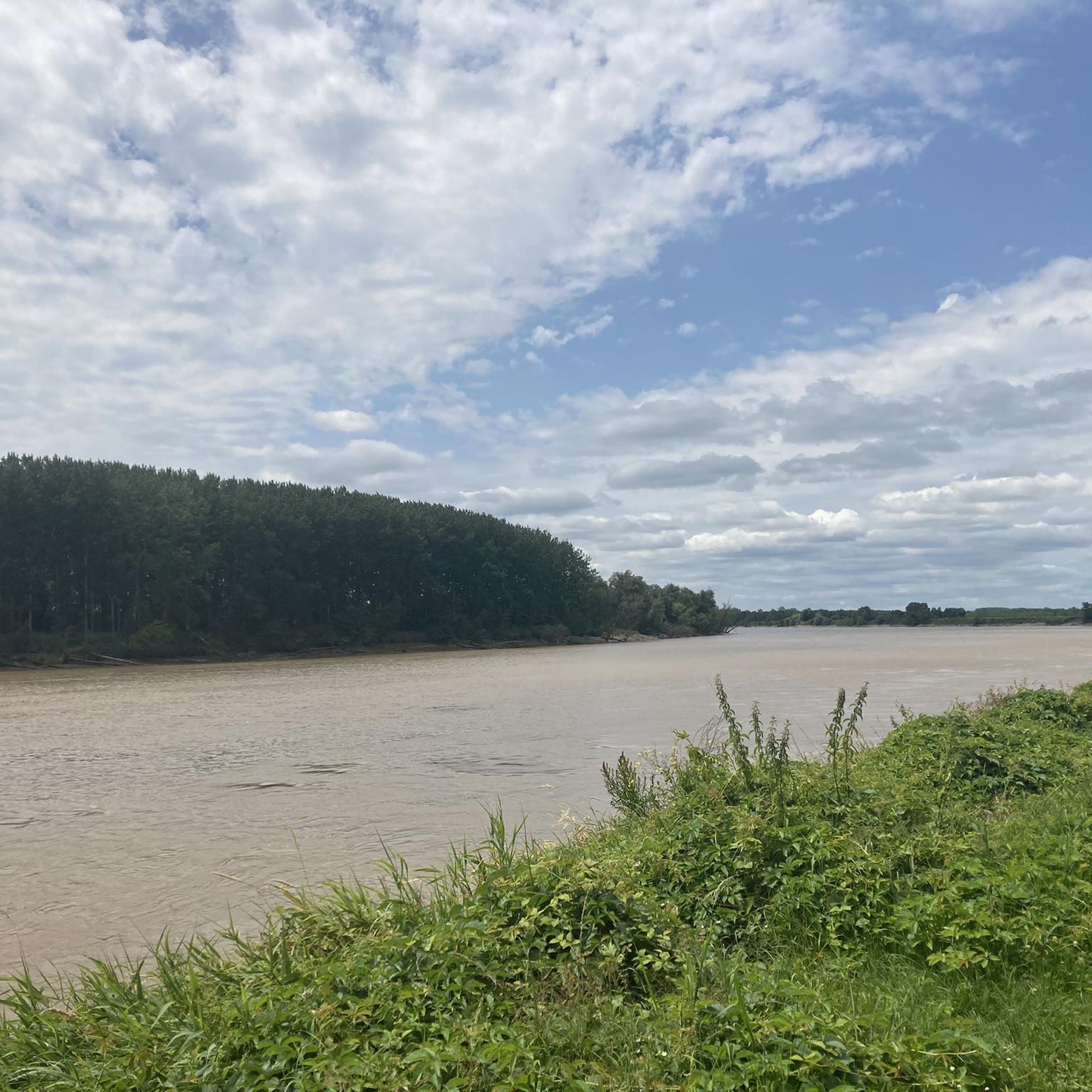
Super pleasant spot for a break under the plane trees, on the banks of the Garonne. Shops nearby and large picnic tables.
2
0
Frequently Asked Questions
How many hiking trails are available around Le Tourne?
There are over 130 hiking trails around Le Tourne, offering a wide range of options for different skill levels. The komoot community has explored more than 1100 routes in the area.
What kind of terrain can I expect on hikes in Le Tourne?
Hikes in Le Tourne primarily feature riverside trails along the Garonne and its tributaries, vineyards, and wooded areas. The terrain varies from gentle paths to more challenging routes through rural landscapes, providing a blend of natural beauty and cultural heritage.
Are there any easy or family-friendly hiking options in Le Tourne?
Yes, Le Tourne offers a good selection of easy trails suitable for families. Out of the 132 available routes, 53 are classified as easy. An example of a shorter, easy walk is the Tramasset shipyards loop from Langoiran, which is about 1.6 km long.
What are some popular circular walks in the Le Tourne area?
Many trails in Le Tourne are designed as loops, allowing you to start and end at the same point. Popular options include the Tramasset shipyards – Langoiran loop from Langoiran, which follows the Garonne river, and the Saint Caprais – Côte Saint-James loop from Baurech, traversing vineyards and rural paths.
What do other hikers enjoy the most about hiking in Le Tourne?
The area is highly rated by the komoot community, with an average score of 4.4 stars from over 270 reviews. Hikers often praise the diverse landscapes, including scenic riverside paths, tranquil wooded sections, and picturesque vineyards, as well as the well-maintained trails.
Are there any notable landmarks or attractions to see along the hiking trails?
Yes, the region offers several points of interest. You might encounter parts of the Roger Lapébie Cycle Path, which is also accessible for walkers, or the Espiet tunnel. For a break, the Bistrot de la Pimpine is a popular spot.
Is Le Tourne suitable for dog-friendly hikes?
The trails around Le Tourne are generally suitable for dogs, offering varied terrain through forests and along rivers. However, it's always recommended to keep dogs on a leash, especially when passing through vineyards or near livestock, and to respect local regulations regarding pet access.
What is the best time of year to go hiking in Le Tourne?
The Gironde region, where Le Tourne is located, generally offers pleasant hiking conditions from spring through autumn. Spring brings blooming wildflowers and mild temperatures, while autumn provides comfortable weather and beautiful fall foliage in the wooded areas. Summer can be warm, so early morning or late afternoon hikes are often preferred.
Are there any challenging hikes for experienced hikers in Le Tourne?
While many trails are moderate, Le Tourne does offer some more challenging options. There are 5 routes classified as difficult. An example is the Forest Path loop from Haux, which covers nearly 20 km with significant elevation changes.
Where can I find parking for hiking trails in Le Tourne?
Parking availability varies by trailhead. Many routes start from villages or designated parking areas near popular attractions. For specific routes, it's advisable to check the komoot tour details for information on starting points and potential parking spots in nearby towns like Langoiran or Baurech.
Can I reach hiking trails in Le Tourne using public transport?
While direct public transport to every trailhead might be limited, the Gironde region has a public transport network. For specific routes, it's best to research local bus services connecting to the villages near your chosen starting point. Planning ahead is recommended to align with bus schedules.
Most popular routes around Le Tourne
Most popular attractions around Le Tourne

Get inspired with the komoot mobile app


Explore more
Browse the best Hikes in other regions.
