The best mountain hikes in March, Switzerland
4.9
(57)
523
hikers
17
hikes
Mountaineering routes in March, Switzerland, are situated within the March district of Canton Schwyz, characterized by the rugged peaks of the Schwyz Alps. This region features prominent limestone formations, alpine lakes such as Wägitalersee, and a mix of forested lower slopes transitioning to exposed, rocky ridges at higher elevations. The terrain offers significant elevation gains, making it suitable for experienced mountaineers seeking challenging ascents.
Best mountaineering routes in March, Switzerland
- The most popular mountaineering route is Wägitalersee – Brünnelistock (2,133 m) loop from Wägitalersee, a 8.9 miles (14.4 km) trail that takes 7 hours 48 minutes to complete, featuring a significant ascent to the Brünnelistock summit.
- Another top favourite among local mountaineers is Bockmattli Hut – Bockmattlistock Summit loop from March, a difficult 7.8 miles (12.6 km) path. This route offers panoramic views from the Bockmattlistock summit after a demanding climb.
- Local mountaineers also love the Mutteristock Summit – Redertenstock loop from Au, a 9.0 miles (14.5 km) trail leading through high alpine terrain, often completed in about 7 hours 50 minutes.
- Mountaineering in March, Switzerland is defined by challenging alpine ascents, high-altitude ridges, and scenic lake views. The network offers options primarily for experienced mountaineers, with a few moderate routes available.
- The routes in March, Switzerland are highly rated by the komoot community with an average score of 4.9 stars from over 60 reviews. More than 600 mountaineers have used komoot to explore March, Switzerland's varied terrain.
Last updated: October 10, 2026
5.0
(7)
40
hikers
13.4km
07:37
1,270m
1,270m
Hard mountaineering route. Very good fitness required. Sure-footedness, sturdy shoes and alpine experience required.
5.0
(3)
53
hikers
12.4km
05:52
990m
990m
Hard mountaineering route. Very good fitness required. Mostly accessible paths. Sure-footedness required.

5.0
(3)
19
hikers
9.62km
05:59
1,110m
1,110m
Hard mountaineering route. Very good fitness required. Sure-footedness, sturdy shoes and alpine experience required.
5.0
(1)
25
hikers
9.92km
03:12
420m
420m
Moderate mountaineering route. Good fitness required. Easily-accessible paths. Suitable for all skill levels.
4.0
(2)
14
hikers
10.4km
04:54
800m
800m
Hard mountaineering route. Good fitness required. Sure-footedness, sturdy shoes and alpine experience required.
5.0
(2)
7
hikers
16.7km
10:10
1,710m
1,710m
Hard mountaineering route. Very good fitness required. Sure-footedness, sturdy shoes and alpine experience required.
5.0
(1)
10
hikers
10.5km
05:37
1,080m
1,080m
Hard mountaineering route. Very good fitness required. Sure-footedness, sturdy shoes and alpine experience required.
5.0
(4)
13
hikers
11.3km
07:01
1,130m
1,130m
Hard mountaineering route. Very good fitness required. Sure-footedness, sturdy shoes and alpine experience required.
5.0
(1)
9
hikers
13.8km
05:03
700m
700m
Hard mountaineering route. Very good fitness required. Mostly accessible paths. Sure-footedness required.
5
hikers
14.6km
07:39
1,310m
1,300m
Hard mountaineering route. Very good fitness required. Sure-footedness, sturdy shoes and alpine experience required.
Get access to more routes and recommendations from other explorers.
Already have an account?
Our route recommendations are based on thousands of hikes, rides, and runs completed by other people on komoot.
Start today with a free account
Your next adventure awaits.
Popular around March, Switzerland
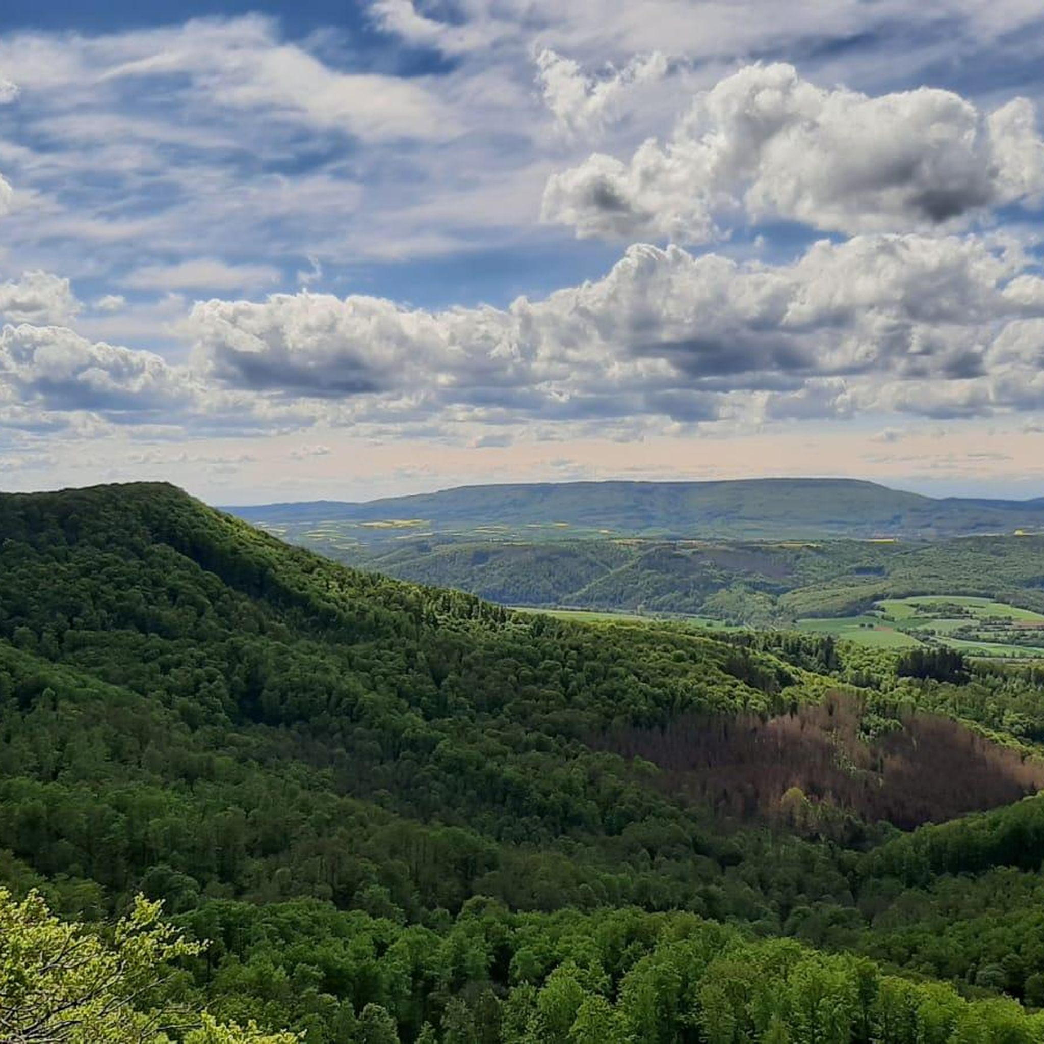
Mountain Hikes around Schübelbach
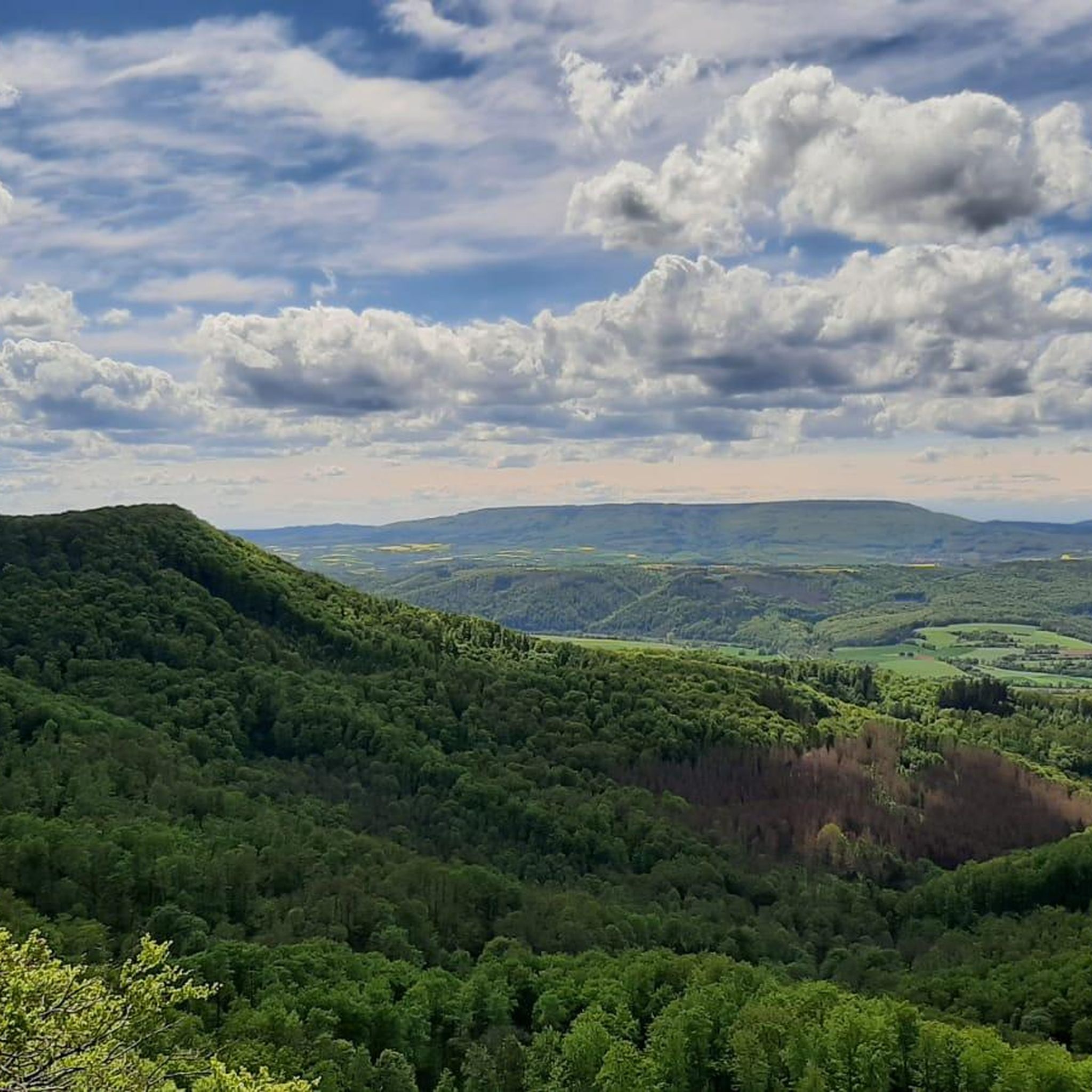
Mountain Hikes around Vorderthal
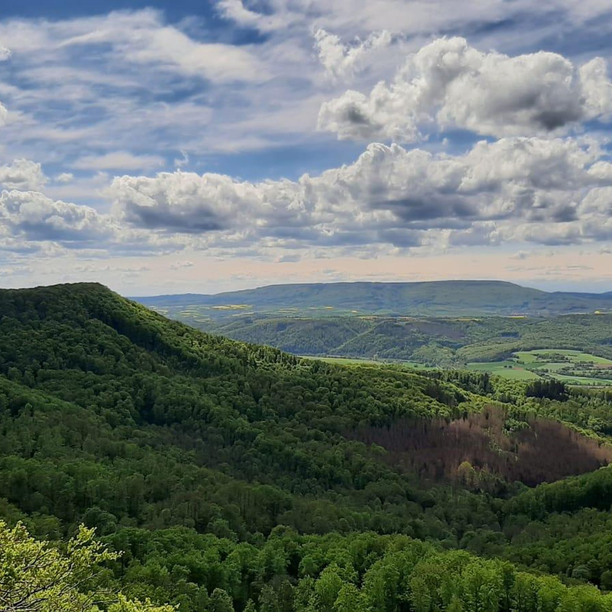
Mountain Hikes around Wägitaler Lake
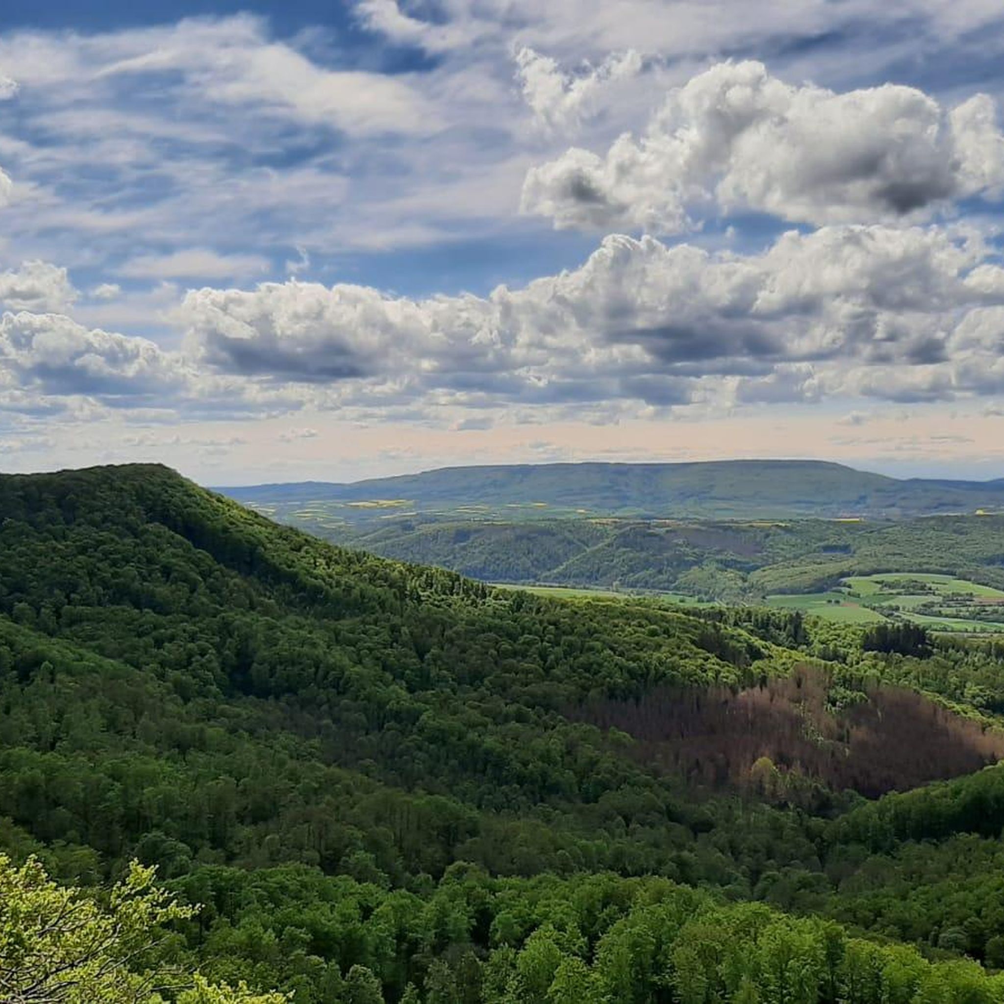
Mountain Hikes around Innerthal
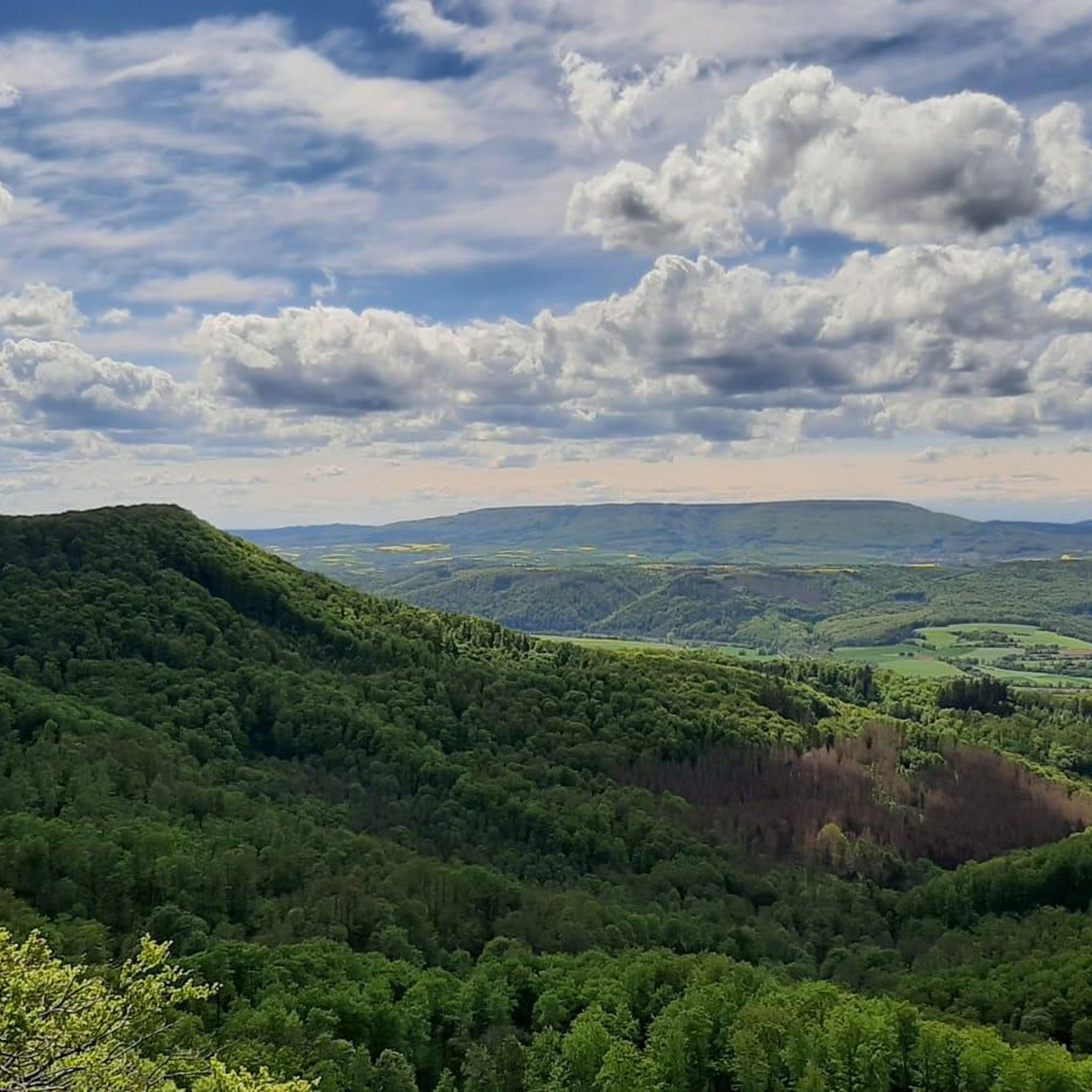
Mountain Hikes around Reichenburg
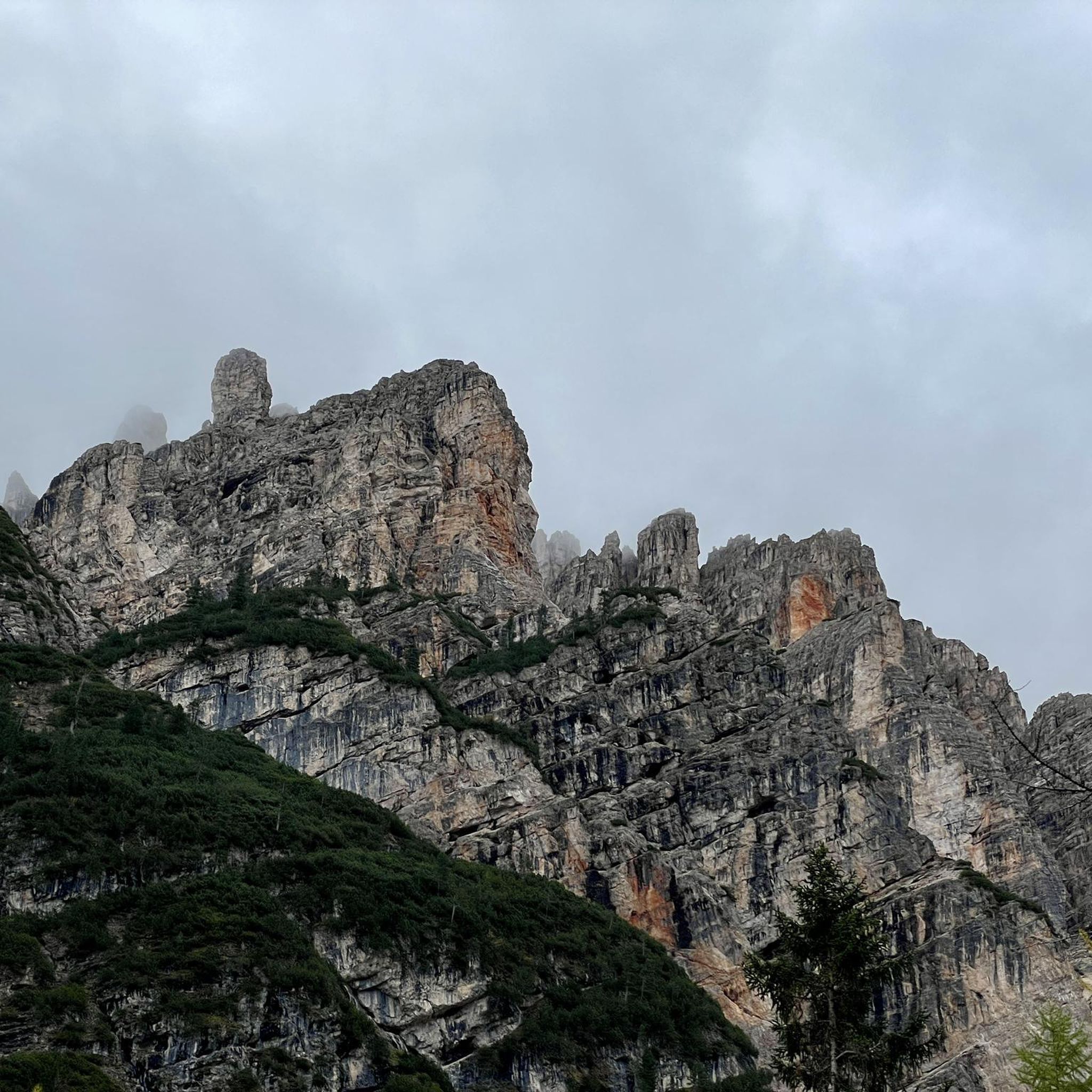
Mountain Hikes around Galgenen
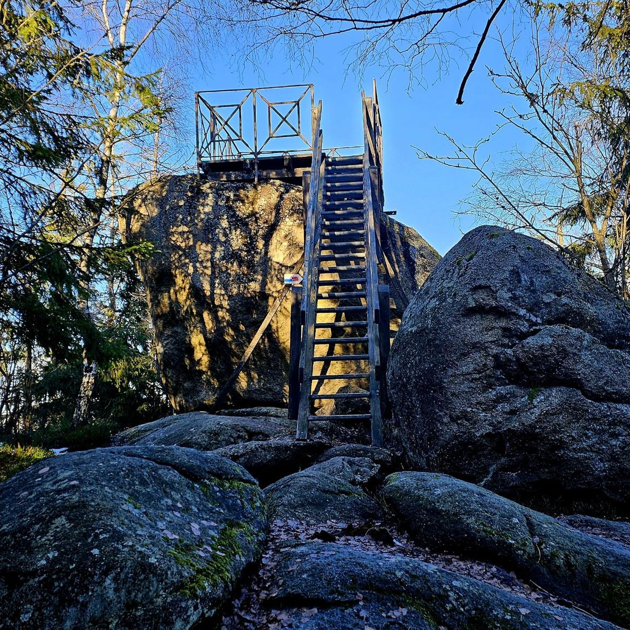
Mountain Hikes around Altendorf
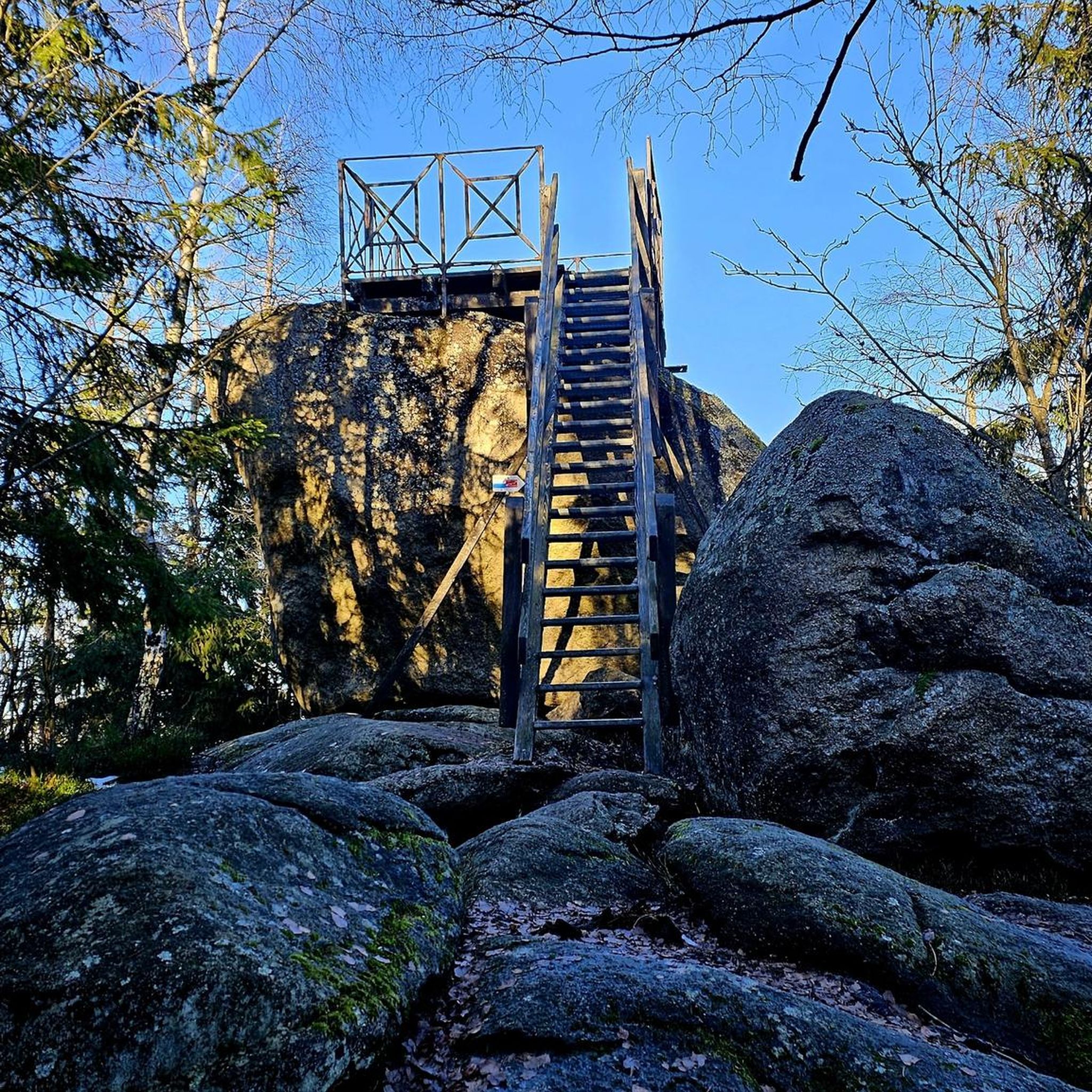
Mountain Hikes around Wangen (SZ)

Mountain Hikes around Tuggen
Mountain Hikes around Lachen
Other adventures in March, Switzerland


Tips from the Community

It is located on cycling and bike paths, you pass by occasionally, and you can replenish your fluid balance in the restaurant after the climb.
0
0

Another wonderful 360° panorama
0
0
A super 360° panorama
0
0

Beautiful viewpoint summit, easily accessible from Wildegg.
0
0
Much visited crossing from Sihlsee to Wägitaler See. Also turn-off direction Rtg Chli Aubrig/Wildegg resp. direction Rtg Rinderweihorn/Pfiffegg.
0
0

Frequently Asked Questions
How many mountaineering routes are available in the March district of Switzerland?
There are nearly 20 mountaineering routes available in the March district of Canton Schwyz. These routes are highly rated by the komoot community, with an average score of 4.9 stars.
What are the typical difficulty levels for mountaineering in March, Switzerland?
The mountaineering routes in March, Switzerland, are primarily designed for experienced mountaineers. Out of the available routes, 17 are classified as difficult, and 2 are moderate. There are no easy routes listed, indicating a focus on challenging alpine ascents and high-altitude ridges.
Are there any circular mountaineering routes in the March district?
Yes, many of the routes in the March district are circular. For example, you can explore the challenging Wägitalersee – Brünnelistock (2,133 m) loop from Wägitalersee, which offers a significant ascent to the Brünnelistock summit. Another option is the Bockmattli Hut – Bockmattlistock Summit loop from March, providing panoramic views after a demanding climb.
What kind of natural features or landmarks can I expect to see on these routes?
The routes in March, Switzerland, offer stunning natural features. You'll encounter rugged peaks like Brünnelistock and Gross Aubrig Summit, as well as picturesque alpine lakes such as Lake Wägital. The terrain transitions from forested lower slopes to exposed, rocky ridges, providing diverse and scenic views.
What are the typical durations for mountaineering routes in this region?
The durations for mountaineering routes in March, Switzerland, vary depending on the specific trail and your pace. For instance, the Mutteristock Summit – Redertenstock loop from Au typically takes around 7 hours 50 minutes to complete, while the Ridge Trail to Turner – Fluebrig Ridge Hike loop from Au can take approximately 6 hours 50 minutes.
What are the weather and snow conditions like for mountaineering in Switzerland during March?
March is a transitional month in Switzerland. At higher altitudes, winter conditions with significant snow cover are still prevalent, requiring appropriate experience and equipment. Lower valleys and areas around lakes may show early signs of spring. It's crucial to check local conditions and forecasts, as snow can persist at higher elevations well into late May or June, and many summer hiking trails may not yet be open.
Are there any less crowded mountaineering routes in March, Switzerland?
While specific data on 'less crowded' routes isn't available, the region offers a variety of challenging trails. For a demanding experience away from the most popular spots, consider the Bockmattli Summit – Schiberg Summit loop from Wägitalersee, which is a longer and very difficult route, often leading to a more solitary experience.
What gear is recommended for mountaineering in Switzerland during March?
Given the transitional and often still wintry conditions at higher altitudes in March, recommended gear includes sturdy mountaineering boots, layers of warm and waterproof clothing, gloves, a hat, and sun protection. Depending on the specific route and snow conditions, crampons, an ice axe, and snowshoes might be necessary. Always carry navigation tools, sufficient food and water, and a first-aid kit.
Are there any family-friendly mountaineering options in March, Switzerland?
The mountaineering routes in the March district are predominantly difficult, making them less suitable for families with young children or beginners. However, in lower valleys across Switzerland, early spring walks become possible in March. For family-friendly options, consider exploring groomed winter hiking trails at various elevations or low-elevation hikes around lakes in regions like Ticino, where conditions are milder.
Can I find amenities like mountain huts or cafes near the mountaineering trails?
Yes, some routes pass by or are near mountain huts. For example, the Alp Wildegg Mountain Hut – Chli Aubrig Summit loop from Sattelegg incorporates a mountain hut. While specific cafes and restaurants directly on every trail are not guaranteed, you can often find options in the villages and towns at the trailheads or in nearby communities within the March district.
What is the highest point I can reach on a mountaineering route in March, Switzerland?
Several routes in the March district lead to significant summits. The Wägitalersee – Brünnelistock (2,133 m) loop from Wägitalersee takes you to Brünnelistock at 2,133 meters. Another high point is reached on the Wägitalersee – Zindlenspitz (2097 m) loop from Wägitalersee, which ascends to Zindlenspitz at 2,097 meters.
Is public transport available to reach the trailheads in March, Switzerland?
While specific public transport details for every trailhead are not provided, Switzerland is known for its excellent public transport network. Many trailheads in mountainous regions are accessible by bus or train. It is advisable to check local transport schedules for the March district and specific starting points like Wägitalersee, Au, or Sattelegg before planning your trip.
Most popular routes in March, Switzerland
Most popular attractions in March, Switzerland

Get inspired with the komoot mobile app


Didn’t find what you were looking for?
Check out more Mountain Hikes & Routes throughout March, Switzerland below and find the perfect route in your destination.
Explore more
Browse the best Mountain Hikes & Routes in other regions.
