The best walks and hikes around Mallefougasse-Augès
4.5
(480)
3,193
hikers
167
hikes
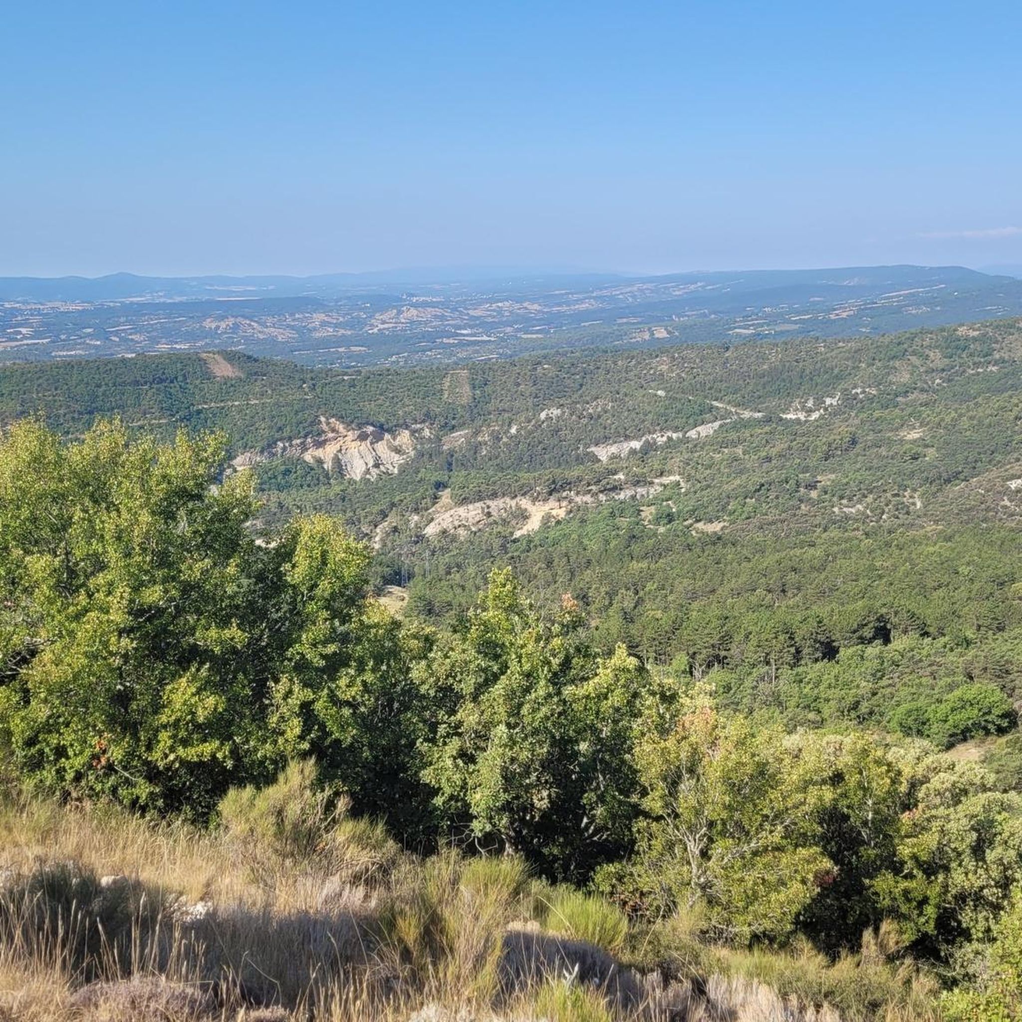
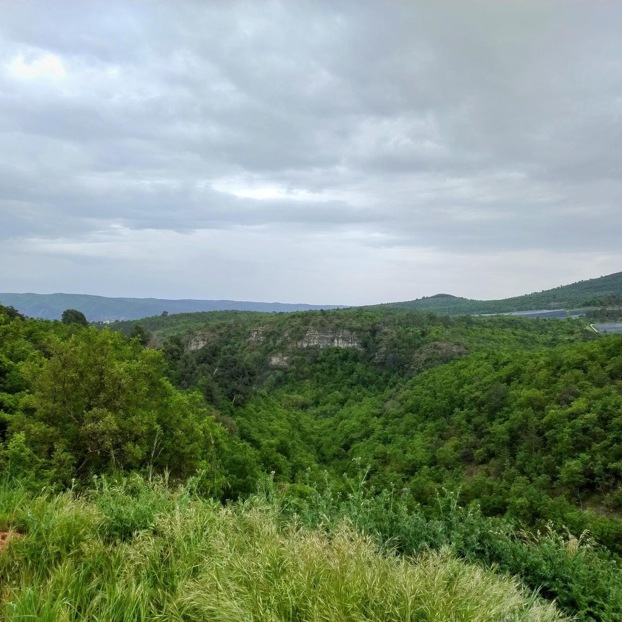
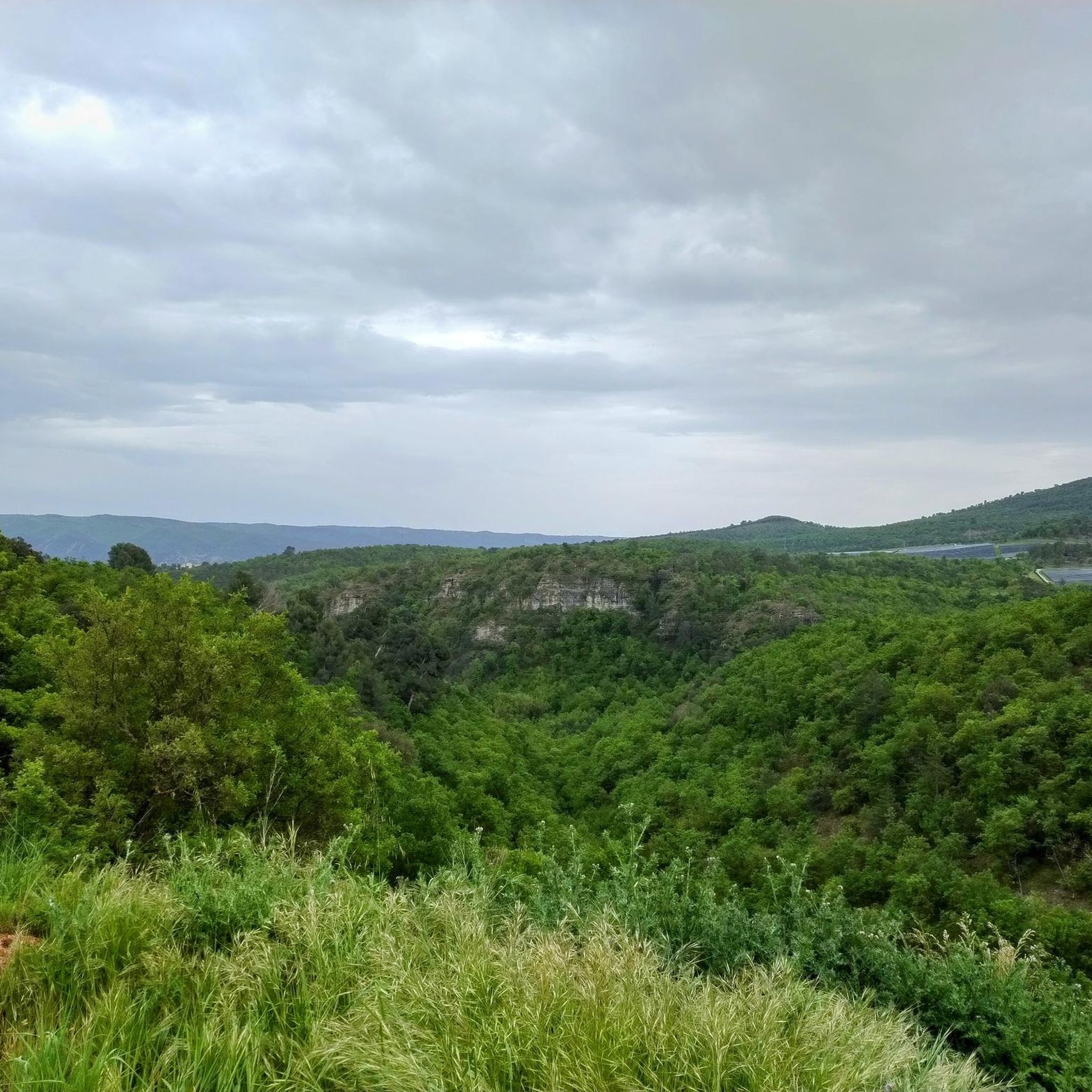
Hiking around Mallefougasse-Augès offers access to diverse natural features, including the Montagne de Lure and the unique Pénitents des Mées rock formations. The region is characterized by wooded valleys, scenic viewpoints overlooking the Durance valley, and proximity to the Verdon and Luberon Regional Natural Parks. Trails often traverse varied terrain, from gentle paths to more challenging ascents.
Best hiking trails around Mallefougasse-Augès
- The most popular hiking route is Signal de Lure summit – Paysages de Lure Viewpoint loop from Pas…
Last updated: July 8, 2026
5.0
(6)
28
hikers
Moderate hike. Good fitness required. Easily-accessible paths. Suitable for all skill levels.
5.0
(5)
18
hikers
6.42km
01:59
250m
250m
Easy hike. Great for any fitness level. Easily-accessible paths. Suitable for all skill levels.

Sign up for free
5.0
(4)
20
hikers
Easy hike. Great for any fitness level. Easily-accessible paths. Suitable for all skill levels.
4.7
(6)
10
hikers
Moderate hike. Great for any fitness level. Mostly accessible paths. Sure-footedness required.
4.0
(1)
9
hikers
Moderate hike. Good fitness required. Easily-accessible paths. Suitable for all skill levels.
Get access to more routes and recommendations from other explorers.
Sign up for free
Already have an account?
Our route recommendations are based on thousands of hikes, rides, and runs completed by other people on komoot.
Start today with a free account
Your next adventure awaits.
Login or Signup

Tips from the Community

best panoramic view, absolutely recommended!
0
0

The Ventoux's little brother. With a length of 17.7 kilometres and an ascent of 1054 vertical metres and a gradient of 5.9% on average, which implies a difficulty level of 688. The summit of the climb is located at 1746 metres above sea level. At the top the views are fabulous both towards Ventoux itself and towards the Alps. A long, very pleasant and fun climb that is worth the effort with percentages that remain around 5/6/7% and some peaks of up to 9.3%. The last 2 kilometres are very easy.
2
0

The Pilgrims' Path along the Via Domizia
2
1
Ancient chapel dedicated to San Antonio
2
1

Indescribable view of the Alps
1
0

The Montagne de Lure is a large mountain in the Vaucluse in the Alpes-de-Haute-Provence department of France. It belongs to the same geological formation as the Albion plateau and Mont Ventoux. This chain extends over 42 kilometers and culminates in the Lure signal at 1,825 m and presents a very contrasting relief.
2
1
The Graille pass is probably the most famous pass in the Alps without even knowing it. So that? Because it is the obligatory step to reach the mountain of Lure. It is one of the first steps of the southern Alps. It is often compared to Mount Ventoux for its easily climbed, bald summit. Also well known to shepherds, the Pas de la Graille has been a path of transhumance since prehistoric times. The D53 connects Saint-Etienne-les-Orgues with Valbelle.
0
0
Frequently Asked Questions
How many hiking trails are available around Mallefougasse-Augès?
There are over 160 hiking routes in the Mallefougasse-Augès area, offering a wide range of options for different skill levels and preferences. The komoot community has explored these trails extensively, with over 2,700 hikers using the platform to discover the region.
What are the best times of year to go hiking in Mallefougasse-Augès?
The region around Mallefougasse-Augès, nestled at the foot of the Montagne de Lure and near Provence, is generally pleasant for hiking from spring through autumn. Spring offers vibrant wildflowers, while autumn provides comfortable temperatures and beautiful foliage. Summer can be warm, so early morning or late afternoon hikes are often preferred.
Are there any easy hiking routes suitable for beginners or families?
Yes, there are many easy routes. For instance, the View from the Pas de la Graille – View from Pas de la Graille loop from Pas de la Graille is an easy 2.5-mile (4.1 km) trail that takes about 1 hour 15 minutes to complete. Another accessible option is the View from the Pas de la Graille – Signal de Lure summit loop from Pas de la Graille, an easy 4.0-mile (6.4 km) path offering panoramic views.
What kind of natural landmarks or scenic views can I expect to see?
Mallefougasse-Augès is rich in natural beauty. You can expect stunning views of the Montagne de Lure, the unique 'Pénitents des Mées' rock formations, and picturesque scenery in the Gorges d'Oppedette. Many trails also offer splendid views of the Durance valley, particularly from the Augès chapel. The region is also close to the Verdon and Luberon Regional Natural Parks, home to the renowned Gorges du Verdon.
Are there any circular walks in the area?
Yes, many routes in the area are circular. For example, the popular Signal de Lure summit – Paysages de Lure Viewpoint loop from Pas de la Graille is a moderate 7.4-mile (11.9 km) loop. Another option is the Sulla Via Domizia – Vieux-Châteauneuf loop from Châteauneuf-Val-Saint-Donat, a moderate 3.6-mile (5.9 km) loop.
What are some notable attractions or points of interest near the hiking trails?
Beyond the trails, you can explore several interesting sites. The Montagne de Lure Pass offers beautiful views, and the distinctive The Penitents of Les Mées are a must-see natural monument. The Abbey Church of Cruis is also nearby, offering a glimpse into local history and architecture.
What do other hikers say about the trails in Mallefougasse-Augès?
The hiking routes in Mallefougasse-Augès are highly regarded by the komoot community, with an average rating of 4.5 stars from over 400 reviews. Hikers often praise the diverse terrain, from wooded valleys to scenic viewpoints, and the opportunities to explore both the Montagne de Lure and unique geological formations like the Pénitents des Mées.
Are dogs allowed on the hiking trails?
Generally, dogs are welcome on trails in the Mallefougasse-Augès area, especially if kept on a leash. However, if you plan to hike within the Verdon Regional Natural Park or the Luberon Regional Natural Park, it's always advisable to check their specific regulations regarding pets to ensure a smooth experience.
Are there any challenging hikes for experienced hikers?
Yes, for experienced hikers looking for a challenge, the Paysages de Lure Viewpoint – Signal de Lure summit loop from Pas de la Graille is a difficult 13.0-mile (20.9 km) route with significant elevation gain, typically taking over 6 hours to complete. This trail offers extensive views and a demanding ascent.
Where can I find parking for trailheads?
Many popular routes, such as those leading to the Montagne de Lure, often start from accessible points like Pas de la Graille. These starting points typically have designated parking areas. For routes originating from villages like Châteauneuf-Val-Saint-Donat, you can usually find parking within or on the outskirts of the village.
What other activities can be done in the Mallefougasse-Augès region besides hiking?
The region is a hub for various outdoor activities. Besides hiking, you can enjoy mountain biking, horse riding, cycling, climbing, and paragliding. The nearby Château-Arnoux/Saint Auban aerodrome is known for air sports. The area's lakes, such as Lac d'Esparron and Lac de Sainte-Croix, also offer water-based recreation.
Most popular routes around Mallefougasse-Augès
Most popular attractions around Mallefougasse-Augès

Get inspired with the komoot mobile app


Explore more
Browse the best Hikes in other regions.
