The best road cycling routes around Ammeldingen an der Our
4.4
(225)
5,044
riders
152
rides
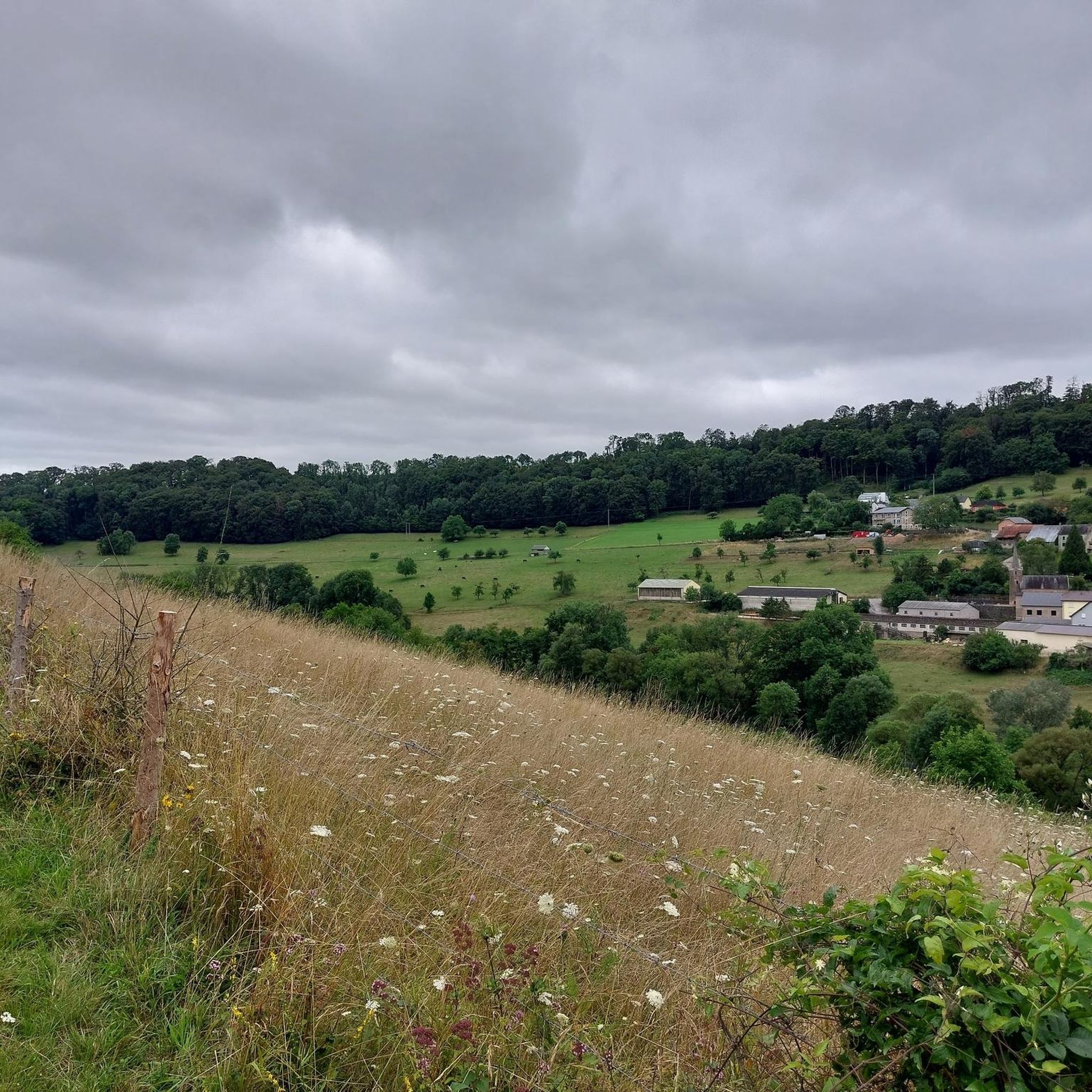
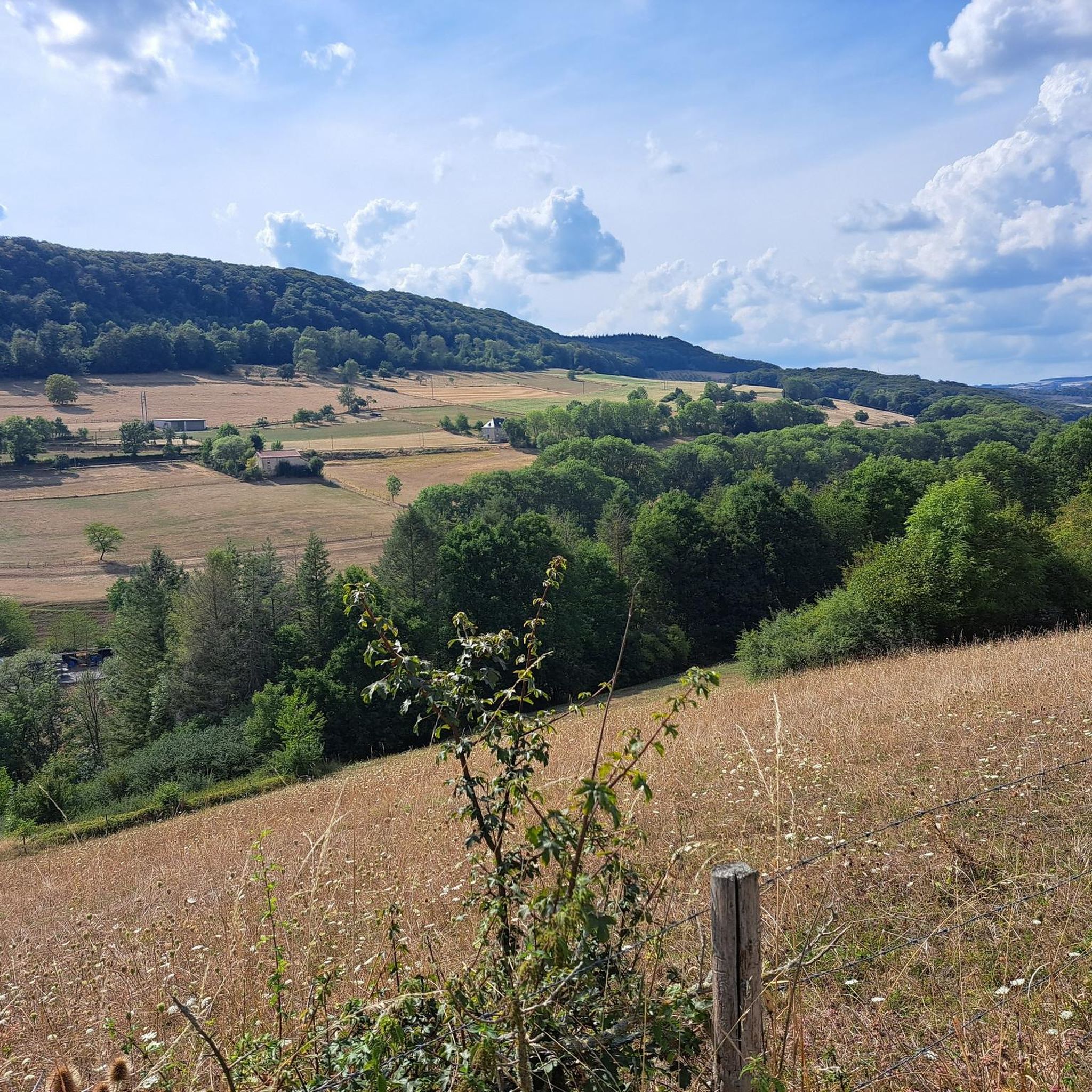
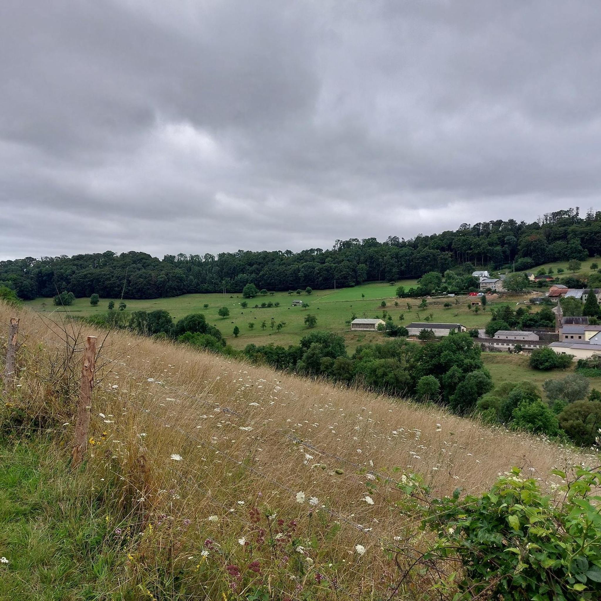
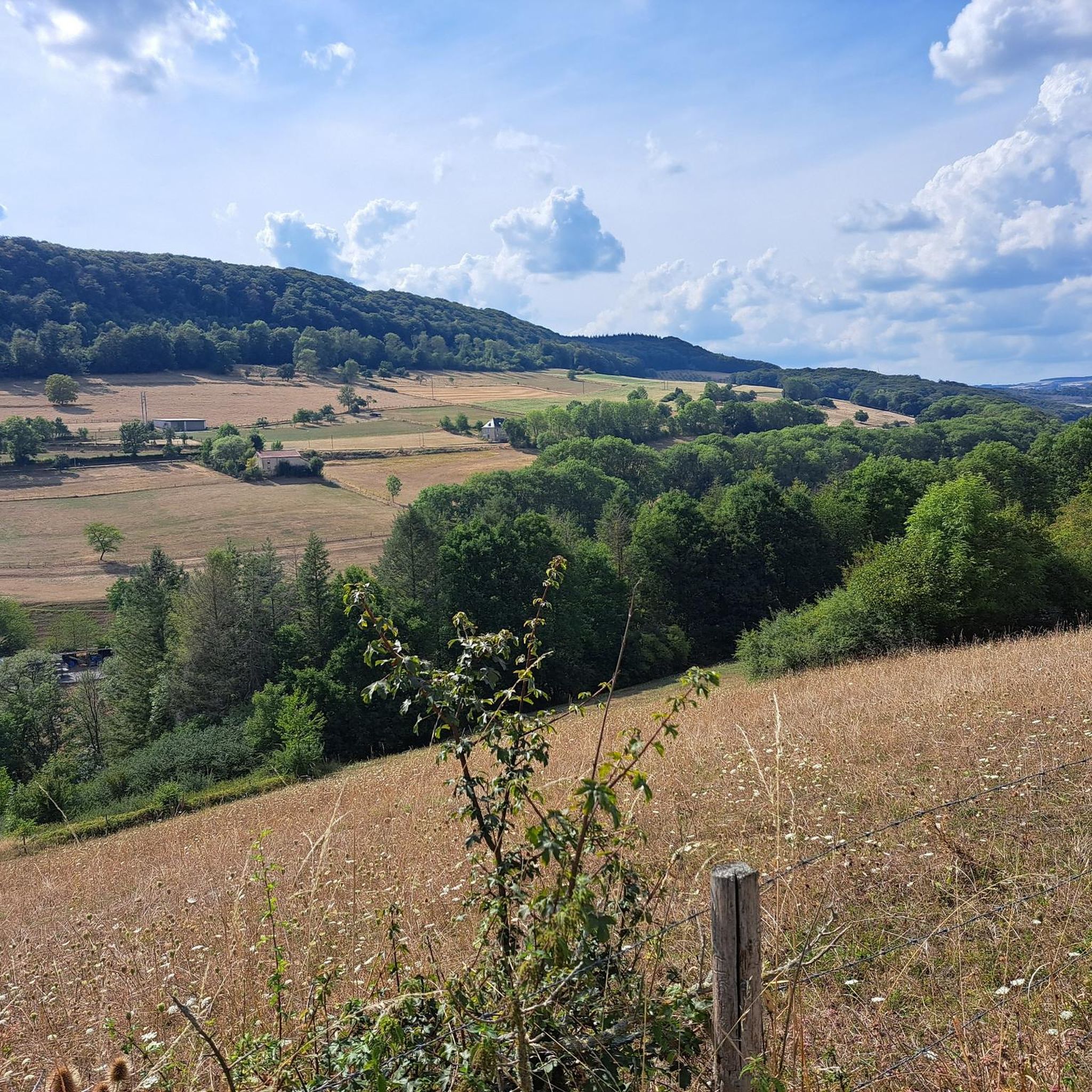
Road cycling routes around Ammeldingen an der Our traverse a scenic border region between Germany and Luxembourg. The area is characterized by sweeping views of the countryside, vast meadows, and extensive fields. It features dense forests, deep valleys, and picturesque river valleys such as the Our, Nims, Prüm, and Enz, providing diverse terrain for road cyclists. The landscape offers a mix of gentle gradients along river paths and more challenging ascents through hilly sections.
Best road cycling routes around Ammeldingen…
Last updated: July 1, 2026
4.4
(8)
206
riders
Easy road ride. Great for any fitness level. Mostly well-paved surfaces and easy to ride.
14
riders
62.0km
03:07
910m
910m
Hard road ride. Very good fitness required. Some segments of this route may be unpaved and difficult to ride.

Sign up for free
5.0
(2)
14
riders
51.9km
02:44
910m
910m
Hard road ride. Very good fitness required. Mostly well-paved surfaces and easy to ride.
15
riders
52.7km
02:55
1,100m
1,100m
Hard road ride. Very good fitness required. Mostly well-paved surfaces and easy to ride.
10
riders
Moderate road ride. Good fitness required. Some segments of this route may be unpaved and difficult to ride.
Get access to more routes and recommendations from other explorers.
Sign up for free
Already have an account?
Our route recommendations are based on thousands of hikes, rides, and runs completed by other people on komoot.
Start today with a free account
Your next adventure awaits.
Login or Signup


Tips from the Community

A beautiful stretch of road lined with fruit trees
0
0

Due to renovation of the suspension bridge, a pontoon bridge for pedestrians and cyclists was built.
1
0

The castle is visible from far and wide. Even from this vantage point, it's beautiful.
0
0

keep your feet dry !!!
0
0
Frequently Asked Questions
How many road cycling routes are available around Ammeldingen an der Our?
There are nearly 160 road cycling routes around Ammeldingen an der Our, offering a wide range of options for different skill levels and preferences.
Are there easy road cycling routes suitable for beginners or families?
Yes, the region offers 19 easy road cycling routes. Many routes along the river valleys, such as the Our, Nims, Prüm, and Enz, feature mostly paved surfaces and gentle gradients, making them ideal for a relaxed ride. An example is the View of the Sauer River – Alzette Pedestrian Bridge loop from Reisdorf, which is an easy 25.3-mile trail.
What kind of terrain can I expect on road cycling routes in this area?
The terrain around Ammeldingen an der Our is diverse, characterized by sweeping views of the countryside, vast meadows, and dense forests. You'll find a mix of gentle gradients along picturesque river valleys like the Our and Sauer, and more challenging ascents through hilly sections, especially in areas connecting to the NaturWanderPark deLux.
Are there challenging road cycling routes with significant elevation gain?
Absolutely. For experienced cyclists seeking a challenge, there are 69 difficult routes with significant ascents. Routes like the Bourscheid Castle – Wark Valley Cycle Path (PC 16) loop from Wallendorf offer varied terrain and substantial elevation gain, traversing river valleys and forests.
What are some scenic highlights I can see along the road cycling routes?
The routes often provide sweeping views of the countryside and river valleys. You might encounter natural monuments, impressive sandstone cliffs, and even castles. For example, the View of Brandenbourg Castle – View of the Sauer River loop from Reisdorf offers scenic vistas including Brandenbourg Castle.
Are there any interesting landmarks or attractions near the cycling paths?
Yes, the region is rich in natural and historical attractions. You can find viewpoints like the View from the Lingelslay Observation Tower, or explore areas with unique rock formations. The Riverside Path Along the Our Reservoir with Views of Vianden Castle is another notable highlight.
What do other road cyclists say about the routes in Ammeldingen an der Our?
The road cycling routes in Ammeldingen an der Our are highly rated by the komoot community, with an average score of 4.5 stars from over 200 reviews. Cyclists often praise the diverse terrain, the scenic views, and the well-maintained paths through river valleys and forests.
Are there loop routes available for road cycling?
Many of the road cycling routes in the area are designed as loops, allowing you to start and end at the same point. Examples include the View of the Sauer River – Alzette Pedestrian Bridge loop from Reisdorf and the Bourscheid Castle – Wark Valley Cycle Path (PC 16) loop from Wallendorf.
What is the best time of year for road cycling in Ammeldingen an der Our?
The region is suitable for road cycling throughout much of the year. Spring and autumn offer pleasant temperatures and vibrant landscapes, while summer provides longer daylight hours. Always check local weather conditions before heading out, especially for routes with significant elevation.
Are there places to rest or find refreshments along the routes?
While specific cafes are not always directly on every route, the region offers various amenities. You can find shelters, picnic areas, and benches, such as the Shelter at Kippiglay Trailhead or the Forest Pond with Picnic Area, which are great for a break. Many routes pass through or near villages where you can find refreshment stops.
How can I find parking for road cycling routes in Ammeldingen an der Our?
Many routes start from towns and villages, offering various parking options. It's advisable to check the starting points of specific routes on komoot for detailed information on available parking facilities near trailheads or in nearby communities.
Most popular routes around Ammeldingen an der Our
Most popular attractions around Ammeldingen an der Our

Get inspired with the komoot mobile app


Explore more
Browse the best Road cycling routes in other regions.
