The best walks and hikes around Amlikon-Bissegg
4.5
(1478)
7,597
hikers
636
hikes
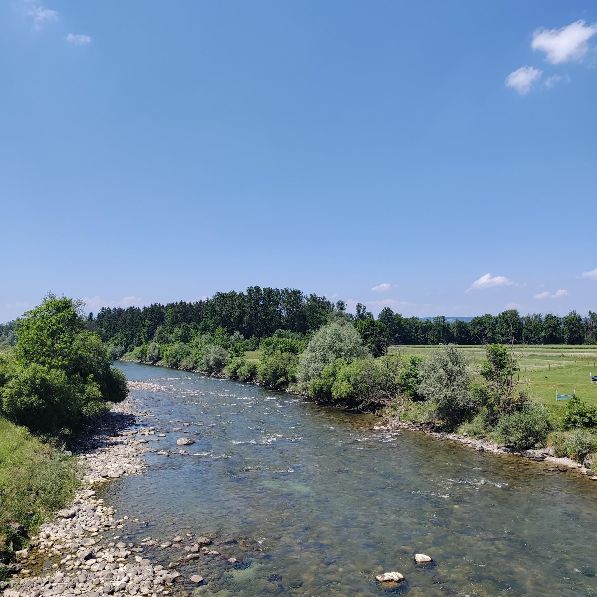
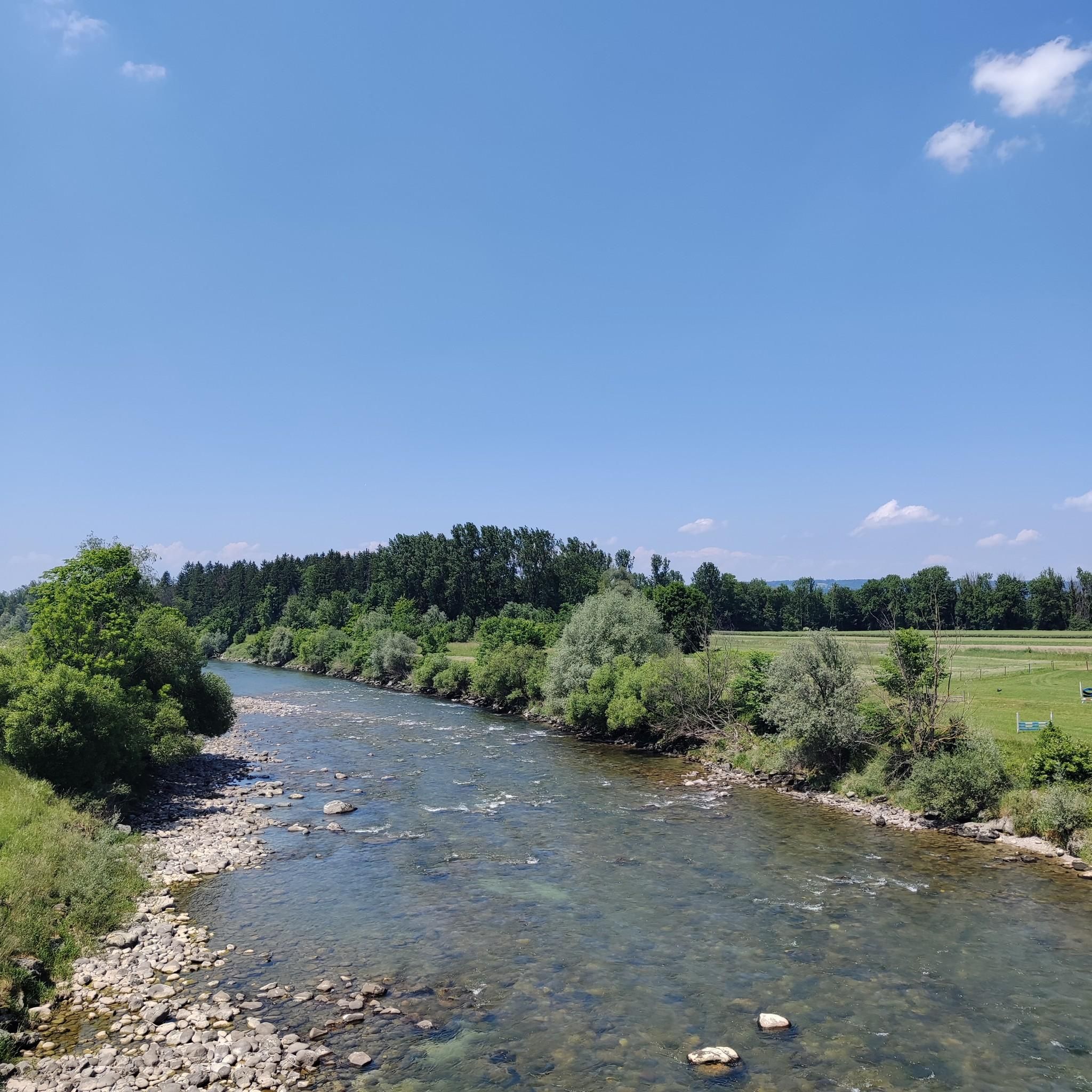
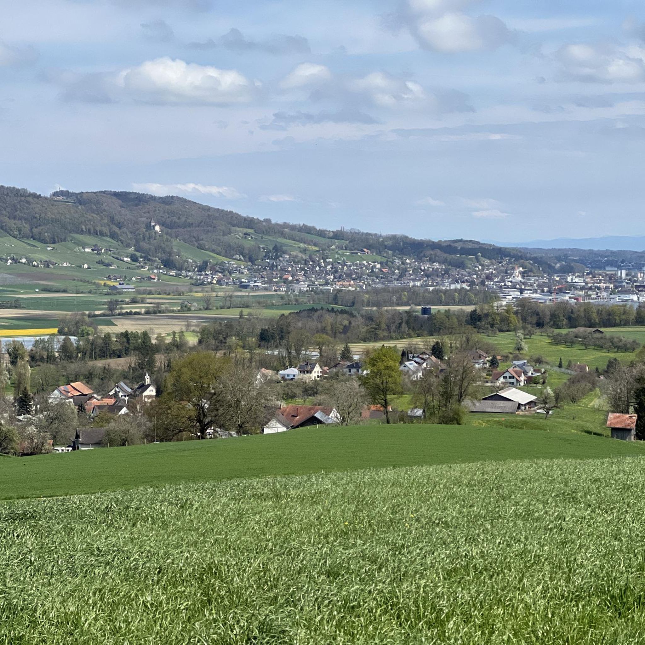
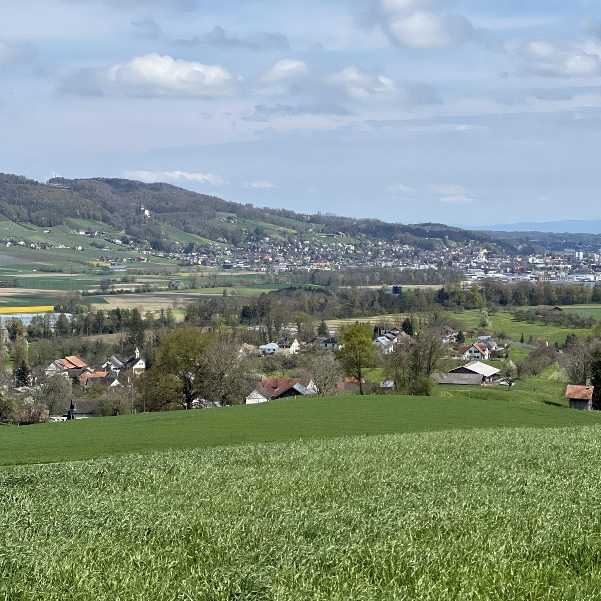
Hiking around Amlikon-Bissegg offers diverse landscapes characterized by the Thur River, rolling hills, and expansive meadows. The region features well-maintained trail networks that integrate natural beauty with cultural heritage sites. Hikers can explore riverine paths, ascend to lookout towers for panoramic views, and traverse areas known for their geological formations and tranquil ponds. The terrain varies, providing options for different fitness levels.
Best hiking trails around Amlikon-Bissegg
- The most popular hiking route is Stählibuck Tower – Stählibuck loop from Thundorf, a 8.4 miles (13.6 km) trail that takes 3 hours 51 minutes to complete. This route features the Stählibuck lookout tower, offering extensive panoramic views.
- Another top favourite among local hikers is Gesslerbrücke – Ave Maria Chapel on Hohen Weg loop from Griesenberg, a moderate 7.1 miles (11.4 km) path. This trail passes by historical sites including the Griesenberg castle location and the Ave Maria Chapel.
- Local hikers also love the Ave Maria Chapel on Hohen Weg – Gesslerbrücke loop from Amlikon-Bissegg, a 5.2 miles (8.4 km) trail leading through areas with historical significance and rural scenery, often completed in about 2 hours 14 minutes.
- Hiking around Amlikon-Bissegg is defined by riverine landscapes along the Thur, rolling hills with geological curiosities, and serene meadows. The network offers options for various ability levels, from short walks to more demanding excursions.
- The routes in Amlikon-Bissegg are highly rated by the komoot community with an average score of 4.5 stars from more than 1300 reviews. More than 7400 hikers have used komoot to explore Amlikon-Bissegg's varied terrain.
Last updated: May 24, 2026
4.7
(21)
80
hikers
13.6km
03:51
310m
310m
Moderate hike. Good fitness required. Easily-accessible paths. Suitable for all skill levels.
4.4
(7)
50
hikers
11.4km
03:09
210m
210m
Moderate hike. Good fitness required. Easily-accessible paths. Suitable for all skill levels.

Sign up for free
4.4
(8)
49
hikers
Moderate hike. Good fitness required. Easily-accessible paths. Suitable for all skill levels.
5.0
(1)
9
hikers
11.6km
03:15
230m
230m
Moderate hike. Good fitness required. Easily-accessible paths. Suitable for all skill levels.
4.5
(2)
26
hikers
Moderate hike. Good fitness required. Easily-accessible paths. Suitable for all skill levels.
Get access to more routes and recommendations from other explorers.
Sign up for free
Already have an account?
Our route recommendations are based on thousands of hikes, rides, and runs completed by other people on komoot.
Start today with a free account
Your next adventure awaits.
Login or Signup

Other adventures around Amlikon-Bissegg

Tips from the Community


Above the free hiking car park there is a playground with numerous places for rest
2
0
Observation tower with a great view of the Rhine plain and the main Alpine ridge with the Bernese Oberland
3
0

Absolutely wonderful view. But go to the Seerücken ridge, 8508 Homburg, to the Catholic church. I lived there for almost 50 years. Even more magnificent.
0
0

Open from midday. Fine food at fair prices
0
0

The Marcado Swiss Distillery is a distillery in a beautiful location. The modern building also has a bed and breakfast where you can stay overnight with a view of the Alpstein and Säntis.
1
0

Grill grate and wood available.
0
0

The Ganggelisteg (Ganggeli = rocking) between Bussnang and Weinfelden was built in 1982.
2
0
Frequently Asked Questions
How many hiking trails are available in Amlikon-Bissegg?
Amlikon-Bissegg offers a wide variety of hiking options, with over 650 routes available on komoot. These range from easy strolls to more challenging excursions, ensuring there's something for every fitness level.
What kind of landscapes can I expect to see while hiking in Amlikon-Bissegg?
The region is characterized by diverse natural scenery, including picturesque riverine landscapes along the Thur, rolling hills, and expansive meadows. You'll also find tranquil spots like the Füürweier and the peaceful Bommer Weiher, a nature reserve known for its water lilies.
Are there any easy, family-friendly hiking routes in Amlikon-Bissegg?
Yes, Amlikon-Bissegg has many easy routes suitable for families. Out of the over 650 trails, more than 380 are classified as easy, offering gentle paths through pleasant scenery. Many circular routes are also available, perfect for a relaxed family outing.
What are some notable viewpoints or landmarks to discover on a hike?
Hikers can enjoy stunning panoramic views from several lookout towers. The Stählibuck Tower – Stählibuck loop from Thundorf, for example, features the Stählibuck lookout tower. Another impressive sight is the Napoleon Tower Hohenrain, offering expansive views from its 40-meter platform.
Are there any trails that feature waterfalls or interesting water features?
Absolutely! The region has several beautiful water features. You can explore highlights like the Upper Rütibach Waterfall, the Gorge with waterfall, or the Saubach Waterfalls. The tranquil Müliweiher Pond and Istighofer Weiher also offer serene natural settings.
Can I find circular hiking routes in Amlikon-Bissegg?
Yes, circular routes are a popular option in Amlikon-Bissegg. Many trails are designed as loops, allowing you to start and end at the same point. An example is the Gesslerbrücke – Ave Maria Chapel on Hohen Weg loop from Griesenberg, which takes you past historical sites.
What do other hikers say about the trails in Amlikon-Bissegg?
The hiking routes in Amlikon-Bissegg are highly regarded by the komoot community, boasting an average rating of 4.5 out of 5 stars from over 1300 reviews. Hikers often praise the well-maintained paths, diverse scenery, and the blend of natural beauty with cultural heritage.
Are there any historical sites or cultural points of interest along the trails?
Yes, several routes incorporate historical and cultural elements. For instance, the Ave Maria Chapel on Hohen Weg – Gesslerbrücke loop from Amlikon-Bissegg leads through areas with historical significance and rural scenery, including the Griesenberg castle location and the Ave Maria Chapel.
Are there any trails that follow the Thur River?
Yes, the Thur River is a prominent feature of the region, and several trails trace its course. The Thurweg, for example, allows you to explore the river that named the canton, offering insights into local wildlife, plant life, and history through informational markers. The Thur Bridge at Amlikon – Ganggelisteg Suspension Bridge loop from Amlikon-Bissegg is another route that highlights the riverine landscape.
Are there places to eat or rest along the hiking trails?
Yes, some trails offer convenient amenities. For example, the Alpenblick restaurant is located along certain routes, providing a place to rest and refuel. Additionally, you might find picnic areas or huts like the Lommiswald barbecue hut or the Weierholz Picnic and Playground Area.
What is the typical difficulty level of hikes in Amlikon-Bissegg?
The trails in Amlikon-Bissegg cater to a range of abilities. While there are 381 easy routes and 7 difficult ones, the majority, 263 routes, are classified as moderate. This means you'll find plenty of options for enjoyable walks that offer a good balance of challenge and accessibility.
Most popular routes around Amlikon-Bissegg
Most popular attractions around Amlikon-Bissegg

Get inspired with the komoot mobile app


Explore more
Browse the best Hikes in other regions.
