The best road cycling routes around Rivèrenert
4.7
(122)
4,327
riders
107
rides
Road cycling routes around Rivèrenert are set within the Pyrénées Ariégeoises Regional Natural Park, characterized by a diverse landscape of mountains, valleys, and greenways. The region offers a mix of terrain, from gentle, shaded paths along old railway lines to challenging ascents over mountain passes. Cyclists can expect well-maintained asphalted roads in many areas, providing varied experiences for different fitness levels.
Best road cycling routes around Rivèrenert
- The most popular road cycling route is Loop 8: Lake Mondely – 10…
Last updated: July 4, 2026
26
riders
52.0km
02:55
700m
700m
Moderate road ride. Good fitness required. Mostly well-paved surfaces and easy to ride.
4.7
(11)
682
riders
142km
07:57
3,090m
3,090m
Hard road ride. Very good fitness required. Some segments of this route may be unpaved and difficult to ride.

Sign up for free
4.8
(5)
251
riders
119km
06:50
2,840m
2,840m
Hard road ride. Very good fitness required. Mostly well-paved surfaces and easy to ride.
4.4
(5)
128
riders
57.9km
02:57
930m
930m
Hard road ride. Very good fitness required. Some segments of this route may be unpaved and difficult to ride.
5.0
(1)
50
riders
57.0km
03:15
1,320m
1,320m
Hard road ride. Very good fitness required. Some segments of this route may be unpaved and difficult to ride.
Get access to more routes and recommendations from other explorers.
Sign up for free
Already have an account?
Our route recommendations are based on thousands of hikes, rides, and runs completed by other people on komoot.
Start today with a free account
Your next adventure awaits.
Login or Signup


Tips from the Community

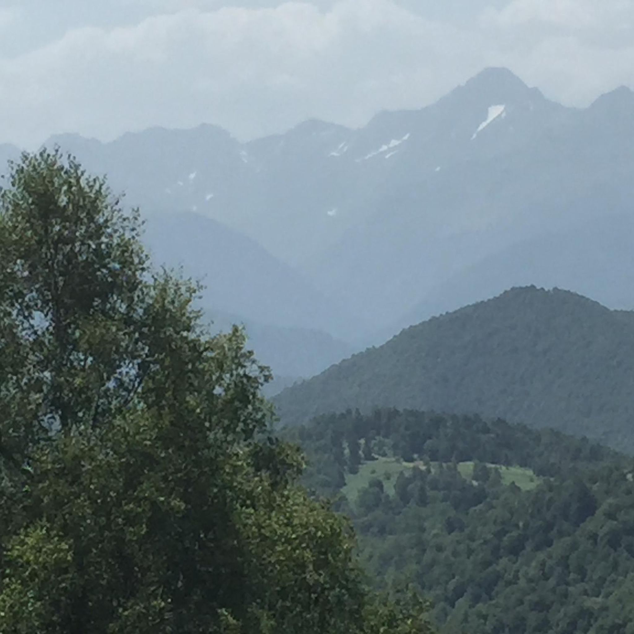
A heavenly place to enjoy the Pyrenees in their full glory. Ideal for a family picnic in spring or summer. Also, as there is a bar - restaurant, it is ideal if you want to have a drink on the terrace.
0
0
I climbed it from its easier side, the one that starts from Foix and stretches for 28 kms, crossing the Col de Marrous. It's a steady climb, with a few tough kilometers, and very pleasant. It's the side used by the Tour de France to descend it. The best thing about the Mur de Peguère are the views from its summit.
0
0
It is a MUST of the Pyrenees, without a doubt, that should be included in any route that crosses the Pyrenees from side to side. Any of its slopes 2 is spectacular and tough. The views from its summit are wonderful, feeling the wild side of the Pyrenees. Of course, once at the summit of this pass... you have to descend to the Étang de Lers and enjoy a quiet rest on the shores of the lake. It is a pass that has been part of the Tour de France route on several occasions, although always far from the finish line. The first professional rider to crest it in the lead was the unforgettable Marco Pantani in 1995.
0
0
I can only speak about my experience descending it from the south side, the one that starts in the village of Biert. It's simply a great pass, with a very tough final section, very similar to its close brother Mur de Peguère. With hardly any traffic, it has the appeal that the road is very narrow and very winding, which helps mentally.
0
0

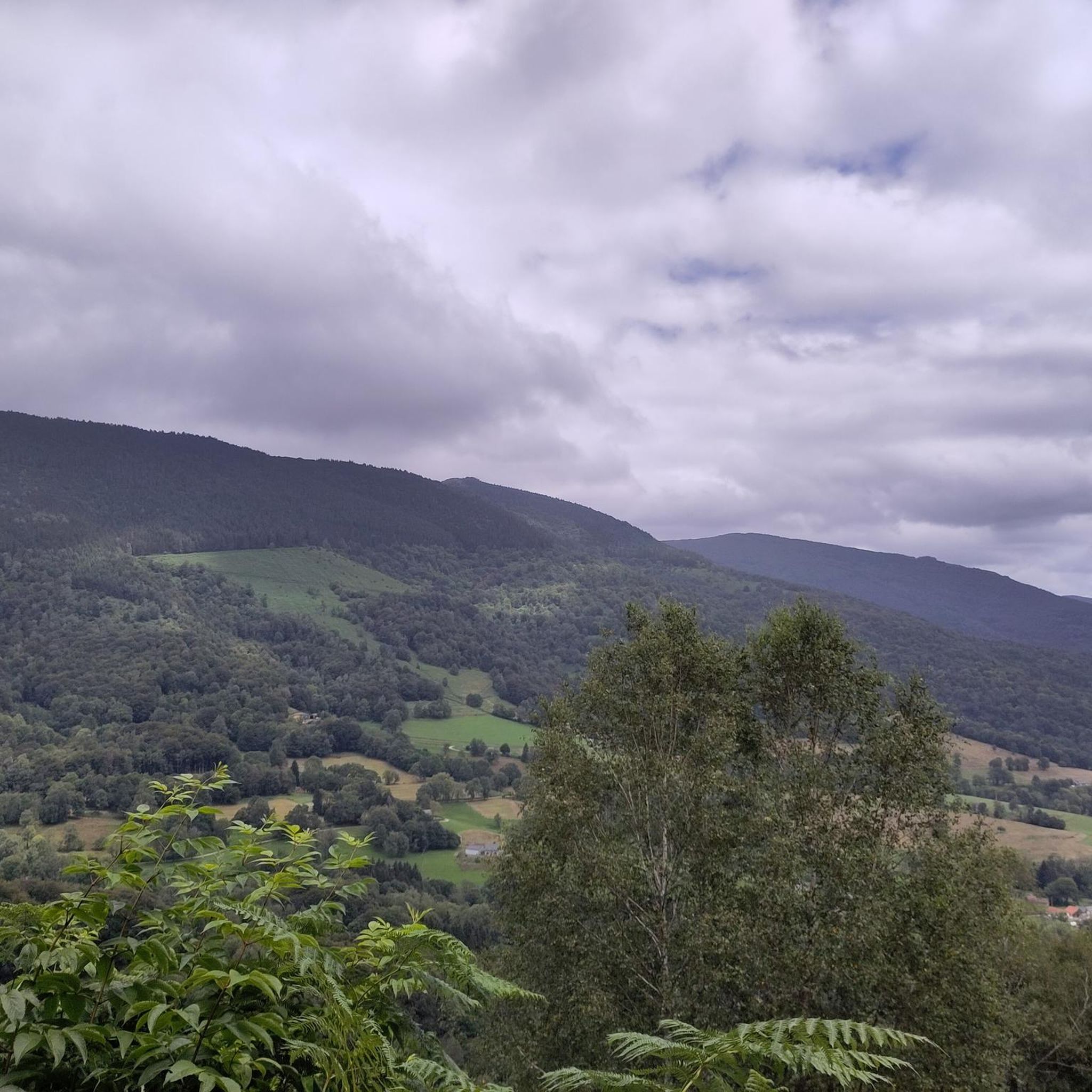
I liked the climb from the north side (from Massat), very scenic and alpine landscapes towards the end at the étang de Lers
0
0
Nice steady and scenic climb to its summit. Good coffee at the arrival (with a view!)
0
0

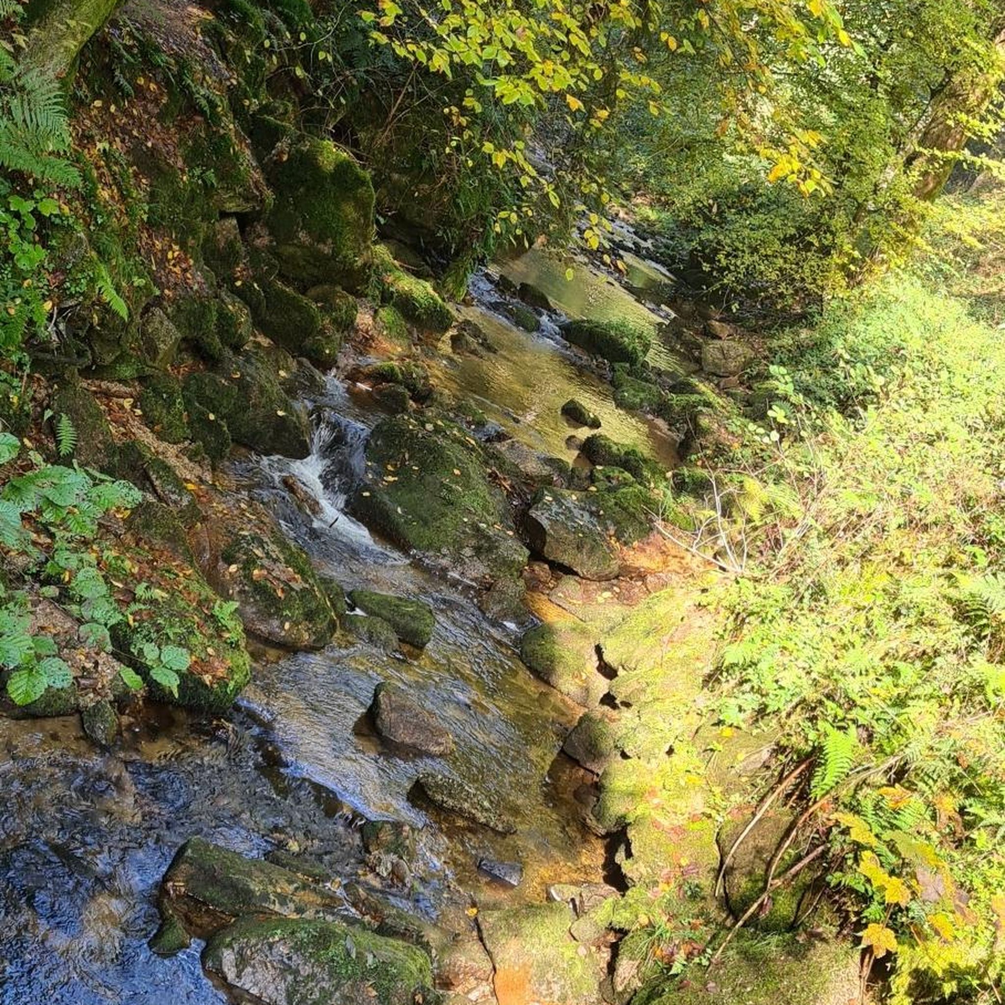
A magnificent spot with the road winding under the rock, running alongside a partially underground stream. It's both breathtaking and peaceful. Plus, there's a starting point for a short walk; I did the beginning and it was lovely: I'd love to come back and do a longer section!
0
0
Frequently Asked Questions
How many road cycling routes are available around Rivèrenert?
There are over 100 road cycling routes around Rivèrenert listed on komoot, offering a wide range of options for different skill levels and preferences. The region is part of the Pyrénées Ariégeoises Regional Natural Park, providing diverse landscapes for exploration.
Are there challenging road cycling routes with significant climbs in the Rivèrenert area?
Yes, Rivèrenert is an excellent base for challenging climbs. The region is known for its mountain passes, often featured in the Tour de France. For a demanding ride, consider the Agnès Pass – Col de Port loop from Biert, which covers nearly 119 km with over 2800 meters of elevation gain. Other notable passes accessible from the area include Col de la Crouzette and Col de Péguère.
What are some easier or more moderate road cycling options around Rivèrenert?
For a more moderate experience, the Loop 8: Lake Mondely – 10 Pyrenean routes is a great choice. This 52 km route takes you around scenic Lake Mondely with about 700 meters of climbing. Additionally, the 44-kilometer V81 Greenway (Voie Verte Foix–Saint-Girons) offers a traffic-free, low-slope path suitable for all levels, often shaded and featuring illuminated tunnels.
What kind of natural features and landmarks can I expect to see along the road cycling routes?
The routes around Rivèrenert offer stunning natural scenery within the Ariège Pyrenees Regional Natural Park. You can expect breathtaking panoramic views of the Pyrenees, including peaks like Mont Valier. Cyclists will encounter diverse landscapes of forests, green valleys, and serene lakes such as Lers lake and Bethmale lake. Many routes also traverse various mountain passes like Col de la Crouzette and Col de Saraillé, offering unique viewpoints.
Are there any family-friendly road cycling routes in the Rivèrenert area?
While many routes involve significant climbs, the V81 Greenway (Voie Verte Foix–Saint-Girons) is an excellent option for families. This traffic-free path, built on an old railway line, offers a gentle gradient and is often shaded, making it pleasant for cyclists of all ages and abilities. It connects to towns like Saint-Girons and Foix.
What do other road cyclists say about the routes in Rivèrenert?
The road cycling routes in Rivèrenert are highly rated by the komoot community, with an average score of 4.5 stars from over 100 reviews. Cyclists often praise the diverse terrain, from challenging mountain passes to scenic greenways, and the stunning Pyrenean landscapes. The well-maintained asphalted roads and courteous drivers are also frequently highlighted.
Are there circular road cycling routes available?
Yes, many road cycling routes around Rivèrenert are designed as loops. For example, the Col de Saraillé – Biert Village loop from Eycheil is a popular 58 km circular route that takes you through varied terrain. Another option is the Col de Port – Fountain at Col de Port loop from Eycheil, offering a 75 km challenging loop.
What is the best time of year for road cycling in Rivèrenert?
The Ariège Pyrenees region generally offers excellent cycling conditions from spring through autumn. Summer provides warm weather, but spring and autumn can be ideal with cooler temperatures and vibrant scenery. Always check local weather forecasts, especially when planning to tackle higher mountain passes, as conditions can change rapidly.
Is parking available for cyclists near the routes in Rivèrenert?
Yes, parking is generally available in the towns and villages that serve as starting points for many routes, such as Saint-Girons, Foix, or Biert. These locations often have public parking areas suitable for cyclists. It's advisable to check specific starting points for detailed parking information.
Can I access road cycling routes in Rivèrenert using public transport?
Public transport options in the rural Ariège Pyrenees can be limited, but some towns like Foix and Saint-Girons are more accessible by regional buses or trains. From these towns, you can connect to various cycling routes, including the V81 Greenway. Planning your route in advance and checking local transport schedules is recommended.
Are there cafes or places to stop for refreshments along the road cycling routes?
Many routes pass through or near charming villages and towns where you can find cafes, bakeries, and small shops for refreshments. Larger towns like Saint-Girons and Foix offer a wider selection of amenities. When planning longer rides, especially in more remote mountain areas, it's wise to carry sufficient water and snacks.
Most popular routes around Rivèrenert
Most popular attractions around Rivèrenert

Get inspired with the komoot mobile app


Explore more
Browse the best Road cycling routes in other regions.
