The best walks and hikes around Prat-Bonrepaux
4.3
(115)
726
hikers
64
hikes
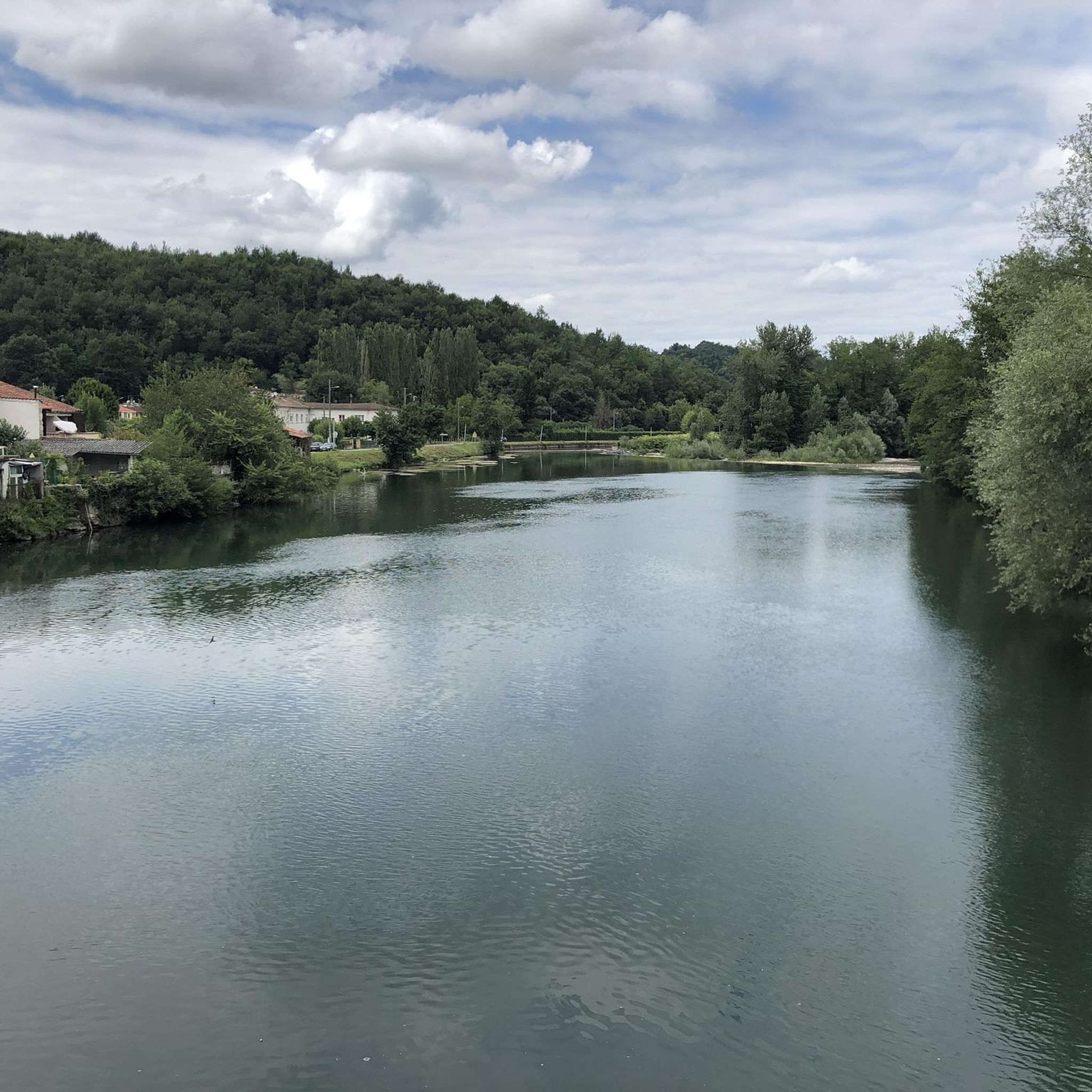
Hiking around Prat-Bonrepaux offers routes through the rolling foothills of the Pyrenees, characterized by a mix of dense woodlands, open agricultural fields, and river valleys. The terrain often includes moderate ascents and descents, providing varied physical challenges. Evidence of historical quarrying can be found along some paths, indicating geological interest. The region's landscape is shaped by its position in the Ariege department, featuring natural and rural environments suitable for outdoor exploration.
Best hiking trails around Prat-Bonrepaux
- The most popular hiking…
Last updated: July 4, 2026
4.7
(14)
42
hikers
8.48km
02:40
330m
330m
Moderate hike. Good fitness required. Easily-accessible paths. Suitable for all skill levels.
4.4
(5)
20
hikers
6.67km
02:11
310m
310m
Moderate hike. Good fitness required. Easily-accessible paths. Suitable for all skill levels.

Sign up for free
4.8
(6)
20
hikers
6.46km
01:54
190m
190m
Easy hike. Great for any fitness level. Easily-accessible paths. Suitable for all skill levels.
4.5
(2)
18
hikers
3.18km
00:48
10m
10m
Easy hike. Great for any fitness level. Easily-accessible paths. Suitable for all skill levels.
4.0
(1)
8
hikers
13.8km
03:54
300m
300m
Moderate hike. Good fitness required. Easily-accessible paths. Suitable for all skill levels.
Get access to more routes and recommendations from other explorers.
Sign up for free
Already have an account?
Our route recommendations are based on thousands of hikes, rides, and runs completed by other people on komoot.
Start today with a free account
Your next adventure awaits.
Login or Signup



Tips from the Community

Small typical village with this beautiful wash house. Be careful, the water is not drinkable!
0
0

Incredible view of a small part of the Pyrenees.
0
0
Pleasant lake to walk around or sit down for a barbecue
0
0

very nice little hike accessible to everyone.
0
0

Site of a former marble quarry. A picnic area is set up there but above all the panorama of the mountains is magnificent.
1
2

beautiful lake next to the village Touille, you can also swim in it.
0
0
Frequently Asked Questions
How many hiking trails are available around Prat-Bonrepaux?
There are over 60 hiking trails in the Prat-Bonrepaux area, offering a diverse range of experiences from easy strolls to more challenging routes through the foothills of the Pyrenees.
Are there easy hiking routes suitable for beginners in Prat-Bonrepaux?
Yes, Prat-Bonrepaux offers a good selection of easy routes. There are 21 easy trails, perfect for beginners or those looking for a relaxed walk. An example is the Marble quarry loop from Montégut-en-Couserans, which is 4.0 miles (6.5 km) and takes about 1 hour 54 minutes.
What is the best time of year to go hiking in Prat-Bonrepaux?
The best time for hiking in Prat-Bonrepaux is generally from spring through autumn (April to October). During these months, the weather is typically mild and pleasant, making for ideal conditions to explore the woodlands and river valleys. Summer can be warm, so early morning or late afternoon hikes are recommended.
Are there any circular walks available in Prat-Bonrepaux?
Yes, many of the trails around Prat-Bonrepaux are circular, allowing you to start and end at the same point. For example, the Montégut Circuit - Chemin des Carriers is a popular circular route that offers varied terrain and historical quarry paths.
What kind of terrain can I expect on hikes near Prat-Bonrepaux?
The terrain around Prat-Bonrepaux is characterized by rolling foothills of the Pyrenees, featuring a mix of dense woodlands, open agricultural fields, and river valleys. You can expect moderate ascents and descents, with some paths revealing evidence of historical quarrying.
Are there any family-friendly hiking options in the area?
Many of the easier and moderate trails are suitable for families, especially those with older children. The region's varied landscape provides engaging walks without overly strenuous climbs. Look for routes with shorter distances and less elevation gain for younger hikers.
What are some interesting landmarks or attractions near the hiking trails?
While hiking, you can explore several interesting sites. Nearby attractions include the Saint-Lizier Historic Village, known for its rich history, and sections of the Piémont Pyrénéen Greenway (V81), which offers pleasant walking opportunities along an old railway line.
Is it possible to hike in Prat-Bonrepaux during winter?
Winter hiking is possible, but conditions can vary. While the lower elevations generally remain snow-free, paths can be muddy or icy, especially after rain or during colder spells. Always check local weather forecasts and trail conditions before heading out. Higher sections of the Pyrenees foothills might experience snow.
What do other hikers enjoy most about hiking in Prat-Bonrepaux?
The area is highly rated by the komoot community, with an average score of 4.2 stars from over 100 reviews. Hikers often praise the peaceful atmosphere, the varied landscapes combining woodlands and open views, and the well-maintained paths that make for enjoyable exploration.
Are there any advanced or difficult hiking trails in Prat-Bonrepaux?
While the majority of trails are easy to moderate, there is at least one difficult route for experienced hikers seeking a greater challenge. These trails typically feature steeper ascents, longer distances, and more rugged terrain, offering a more strenuous workout.
Where can I find parking for hiking trails in Prat-Bonrepaux?
Parking is generally available in or near the villages that serve as starting points for many trails, such as Montégut-en-Couserans or Saleich. Specific parking information is often detailed on individual route pages on komoot, so it's advisable to check the tour details before you go.
Can I access hiking trails in Prat-Bonrepaux using public transport?
Public transport options in rural areas like Prat-Bonrepaux can be limited. While some villages may have bus services, direct access to trailheads might require a car. It's recommended to check local bus schedules and routes in advance if you plan to rely on public transport.
Are there any trails that offer panoramic views?
Yes, several routes provide excellent panoramic views, particularly from higher points in the rolling hills. The Orientation table loop from Montégut-en-Couserans is specifically known for its panoramic vistas from an orientation table, offering expansive views of the surrounding landscape.
Most popular routes around Prat-Bonrepaux
Most popular attractions around Prat-Bonrepaux

Get inspired with the komoot mobile app


Explore more
Browse the best Hikes in other regions.
