The best mountain hikes around Le Mouret
4.7
(3)
57
hikers
7
hikes
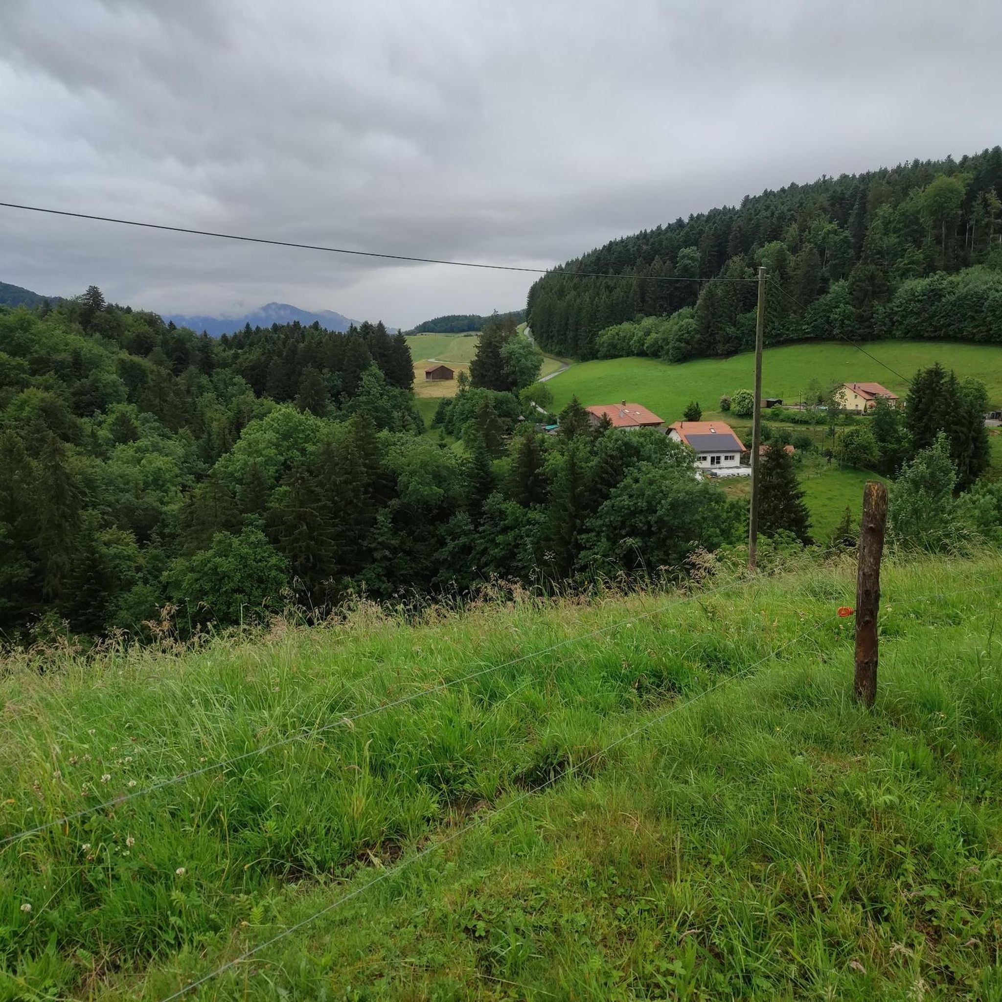
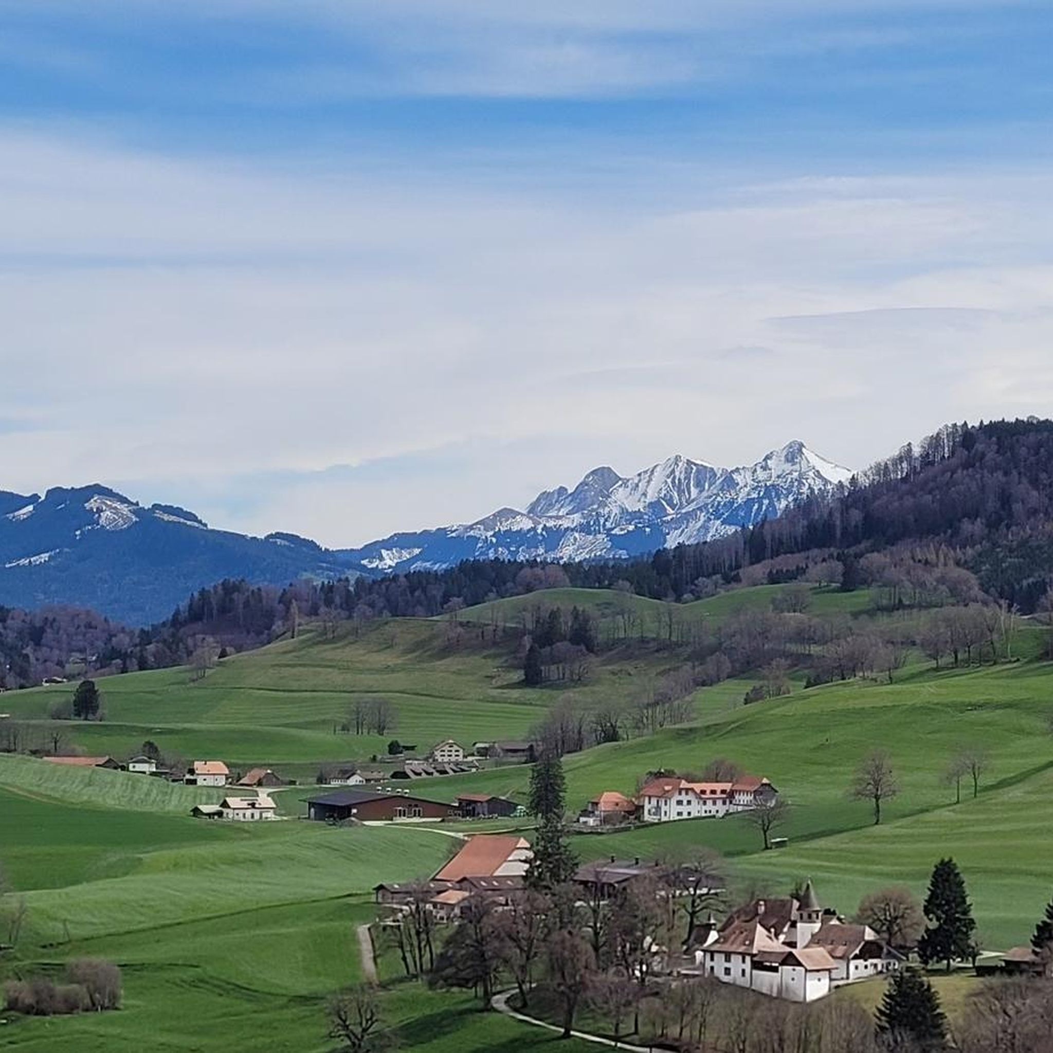
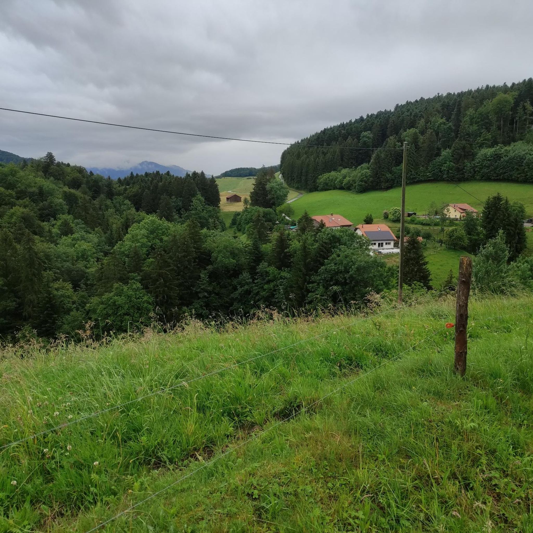
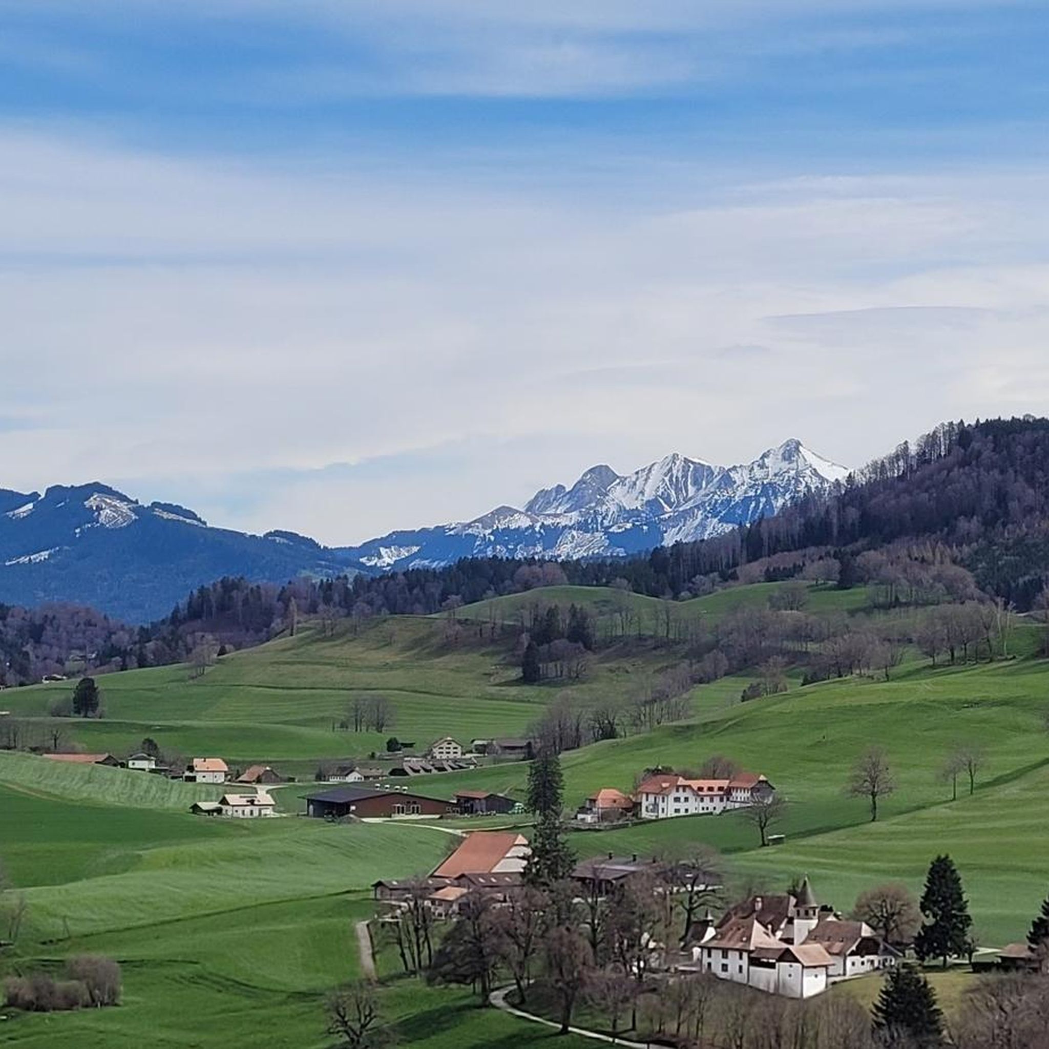
Mountaineering routes around Le Mouret are situated in the pre-Alpine hilly region of Fribourg, Switzerland, at the northern base of the Berra mountain range. The landscape features varied elevations, ranging from 672 meters to over 1500 meters above sea level, with nearly half of the area covered by dense forests. This diverse terrain provides opportunities for challenging ascents and exploration through valleys and along ridges. The region's natural features, including the Plasselbschlund valley and the Berra range, define its character…
Last updated: May 25, 2026
5.0
(1)
16
hikers
15.1km
06:48
1,070m
1,070m
Hard mountaineering route. Very good fitness required. Sure-footedness, sturdy shoes and alpine experience required.
5.0
(1)
10
hikers
13.9km
06:26
1,070m
1,070m
Hard mountaineering route. Very good fitness required. Sure-footedness, sturdy shoes and alpine experience required.

Sign up for free
9
hikers
12.8km
05:38
830m
830m
Hard mountaineering route. Very good fitness required. Sure-footedness, sturdy shoes and alpine experience required.
7
hikers
13.9km
05:20
870m
870m
Hard mountaineering route. Very good fitness required. Mostly accessible paths. Sure-footedness required.
4.0
(1)
8
hikers
13.3km
05:51
860m
860m
Hard mountaineering route. Very good fitness required. Sure-footedness, sturdy shoes and alpine experience required.
Get access to more routes and recommendations from other explorers.
Sign up for free
Already have an account?
Our route recommendations are based on thousands of hikes, rides, and runs completed by other people on komoot.
Start today with a free account
Your next adventure awaits.
Login or Signup
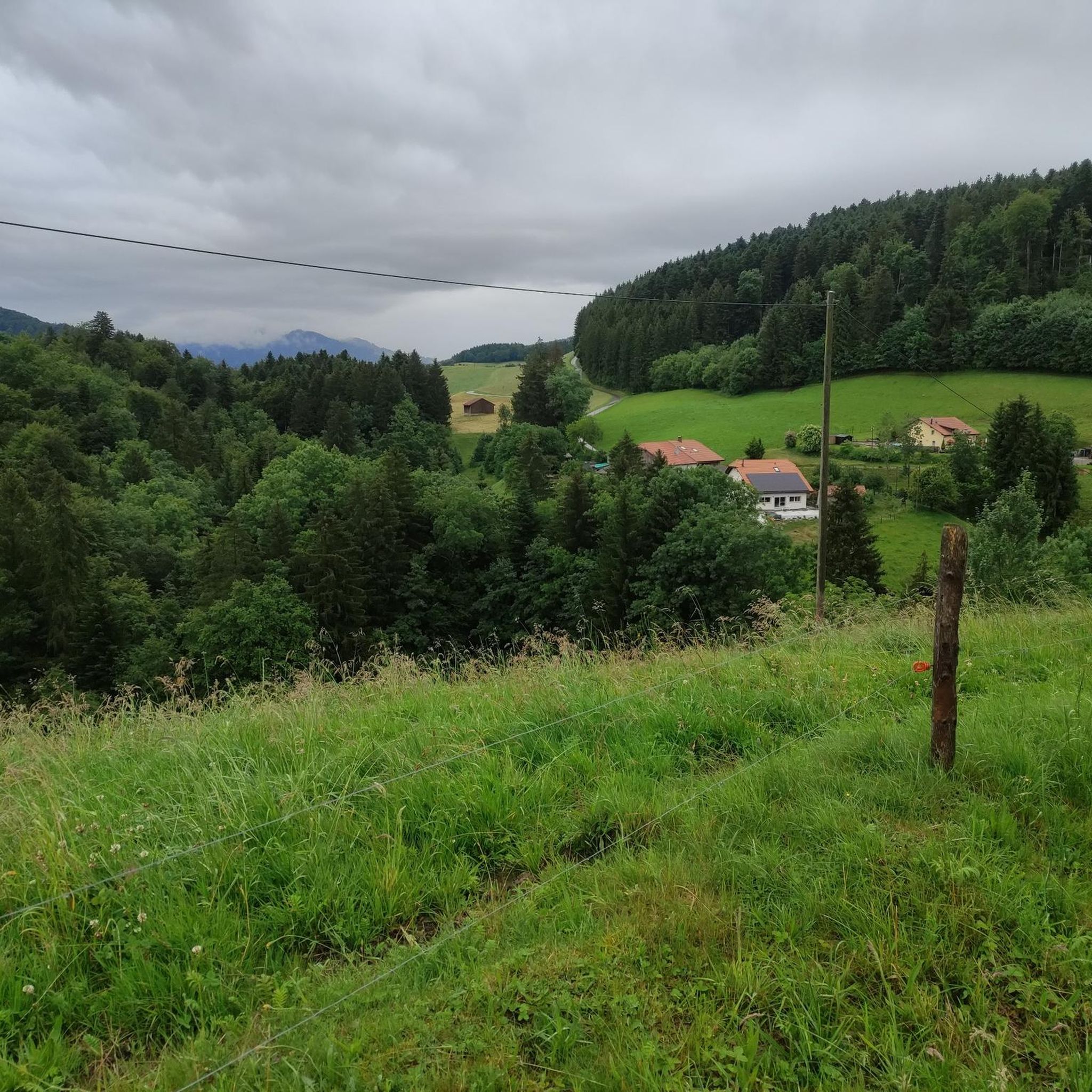
Tips from the Community

The Alp Oberer Euschels is located just below the 1,600-meter-high Euschelspass on the Schwarzsee side. Up here, you can get many delicacies, from cheese to sausages to fondue (on request). The alp is open from June to October, and you can also stay overnight. More information also here: https://fribourg.ch/de/schwarzsee/berghuetten-mit-verpflegungsmoeglichkeit/alp-oberer-euschels/
0
0

Great alpine snack bar for a little break. Great view of the Black Lake. Friendly welcome and excellent food!
0
0

There are great hikes around the Schwarzsee for everyone. From easy and leisurely to more challenging 🥾
1
0

The Stierenberg viewpoint is the highest peak between the Suhre and Aabach valleys, and offers breathtaking views of the Schwarzsee, the surrounding mountains and the Mittelland. You can also admire an imposing sycamore maple which sits on the hiking trail, and rest on a bench which invites you to stroll. The Stierenberg viewpoint is accessible by different routes, such as that of Val-de-Charmey in the Gruyère district. You'll be rewarded with stunning views and a sense of accomplishment after reaching the top of this forested mountain.
2
0
Patraflon is a grassy summit in the Friborg Pre-Alps which dominates the Valsainte Valley. It offers a magnificent view of the Swiss Plateau and the Jura. Its wide and regular slopes make it an ideal destination for running, especially in spring and autumn. You can start from the Pré de l'Essert farm and follow the Essert valley, then climb to the summit of Patraflon via a wooded ridge. You can also extend your route by traversing to the nearby summit of Gros Brun, which requires some climbing on the northwest ridge. Enjoy the landscape and tranquility of this little-known region.
2
0

The smoking of the stream and the various bird songs at the beginning of the path bring a calm atmosphere.
0
0


The Fochsenflue at 1975m is the easiest to reach peak on the ridge from the Spitzflue to the Combiflue. A well-marked mountain hiking trail leads from the Euschels Pass to the summit (red-white-red). A summit with few people 👍🏻
6
0
Frequently Asked Questions
What kind of terrain can I expect on mountaineering routes around Le Mouret?
The region offers a diverse pre-Alpine landscape, characterized by hilly terrain, significant forest cover (nearly half the area), and varied elevations ranging from 672 meters to over 1500 meters. You'll encounter challenging ascents, explore valleys like the Plasselbschlund, and traverse ridges, often through dense woodlands.
Are there any family-friendly mountaineering options in Le Mouret?
While many routes are challenging, the area around Le Mouret does offer some less strenuous options. For instance, there's a pretty, family-friendly short hike from the Crau parking lot up to the Buvette du Gros Cousimbert, which provides a taste of the region's beauty without extreme difficulty. For specific mountaineering routes, most are rated difficult, so assess your family's experience carefully.
What is the best time of year for mountaineering in Le Mouret?
The pre-Alpine setting of Le Mouret makes late spring through early autumn generally the most favorable time for mountaineering. During these months, trails are typically clear of snow, and weather conditions are more stable. Always check local weather forecasts and trail conditions before heading out, especially for higher elevations.
Are there any circular mountaineering routes available?
Yes, many of the mountaineering routes around Le Mouret are designed as loops. For example, you can explore the challenging Steep Ascent on Forest Trail – Ascent to Kaiseregg Pass loop from Schwarzsee, which covers 13.2 km with significant elevation gain, or the View of Schwarzsee – Patraflon Summit Statue loop from Schwarzsee, offering expansive views over 15.1 km.
What are the typical distances and durations for mountaineering routes in this area?
Mountaineering routes around Le Mouret vary, but many are substantial. For instance, the Ascent to Kaiseregg Pass – Steep Ascent on Forest Trail loop from Schwarzsee is about 14 km and typically takes over 6 hours. Another option, the Vallée de la Brecca – Spitzflue Summit loop from Schwarzsee, is around 12.5 km and can be completed in about 5.5 hours.
What kind of difficulty can I expect from the mountaineering routes?
The mountaineering routes around Le Mouret are generally quite challenging. Out of the available routes, the majority are rated as 'difficult', with significant elevation gains and distances. There are a couple of 'moderate' options, but no 'easy' mountaineering routes are listed, indicating a need for good physical condition and experience.
Are there any notable landmarks or viewpoints along the mountaineering routes?
Yes, the region offers several points of interest. The routes often provide views of the iconic Berra Mountain Range and pass through areas like the Plasselbschlund valley. You might also encounter the La Berra summit itself, which is accessible via cable car, or enjoy views towards Gruyère from the Cousimbert ridge. The View of Lac de la Gruyère – Vallée de la Brecca loop from Schwarzsee specifically highlights scenic vistas.
What do other mountaineers appreciate most about the routes in Le Mouret?
The komoot community highly rates the mountaineering routes around Le Mouret, with an average score of 4.6 stars. Mountaineers often praise the challenging terrain, the extensive forested areas, and the rewarding views from various summits and ridges, such as those found on the View of Schwarzsee – Patraflon Summit Statue loop from Schwarzsee.
Are the mountaineering trails around Le Mouret dog-friendly?
While specific rules for dogs on these mountaineering trails are not detailed, Switzerland generally has dog-friendly hiking policies. However, given the challenging nature of many routes, significant elevation changes, and potentially rugged terrain, ensure your dog is fit for such an adventure. Always keep dogs on a leash, especially in forested areas or near livestock, and carry water for them.
Where can I find parking for mountaineering routes in Le Mouret?
Many of the mountaineering routes in the region, such as those leading to Kaiseregg Pass or Patraflon Summit, often start from areas like Schwarzsee, which typically offers designated parking facilities for hikers. For shorter, family-friendly options like the hike to Buvette du Gros Cousimbert, parking is available at Crau.
How many mountaineering routes are available in the Le Mouret area?
There are approximately 9 mountaineering routes detailed for the Le Mouret area, offering a range of challenging options for experienced hikers and mountaineers.
Most popular routes around Le Mouret
Most popular attractions around Le Mouret

Get inspired with the komoot mobile app


Explore more
Browse the best Mountain Hikes & Routes in other regions.
