The best running trails around Mauvezin-De-Sainte-Croix
4.0
(10)
182
runners
14
runs
Jogging routes around Mauvezin-De-Sainte-Croix are situated within the Ariège Pyrenees Regional Natural Park, offering a varied natural environment. The region features undulating topography, including hills, meadows, and dense forests, providing diverse terrain for runners. This area is characterized by its preserved natural heritage, with numerous paths suitable for running amidst the countryside.
Best jogging routes around Mauvezin-De-Sainte-Croix
- The most popular jogging route is Dolmen de Brillaud – Dolmen du Cap del Pouech loop from Camarade, a 8.8 miles (14.1…
Last updated: July 4, 2026
5.0
(2)
15
runners
14.1km
01:50
300m
300m
Hard run. Good fitness required. Sure-footedness, sturdy shoes and alpine experience required.
21
runners
18.2km
02:19
520m
520m
Hard run. Very good fitness required. Mostly paved surfaces. Suitable for all skill levels.

Sign up for free
14
runners
10.6km
01:18
230m
230m
Moderate run. Good fitness required. Mostly paved surfaces. Suitable for all skill levels.
5.0
(1)
9
runners
7.35km
00:48
90m
100m
Moderate run. Good fitness required. Mostly paved surfaces. Suitable for all skill levels.
10
runners
7.67km
01:00
270m
270m
Moderate run. Good fitness required. Mostly paved surfaces. Suitable for all skill levels.
Get access to more routes and recommendations from other explorers.
Sign up for free
Already have an account?
Our route recommendations are based on thousands of hikes, rides, and runs completed by other people on komoot.
Start today with a free account
Your next adventure awaits.
Login or Signup


Tips from the Community

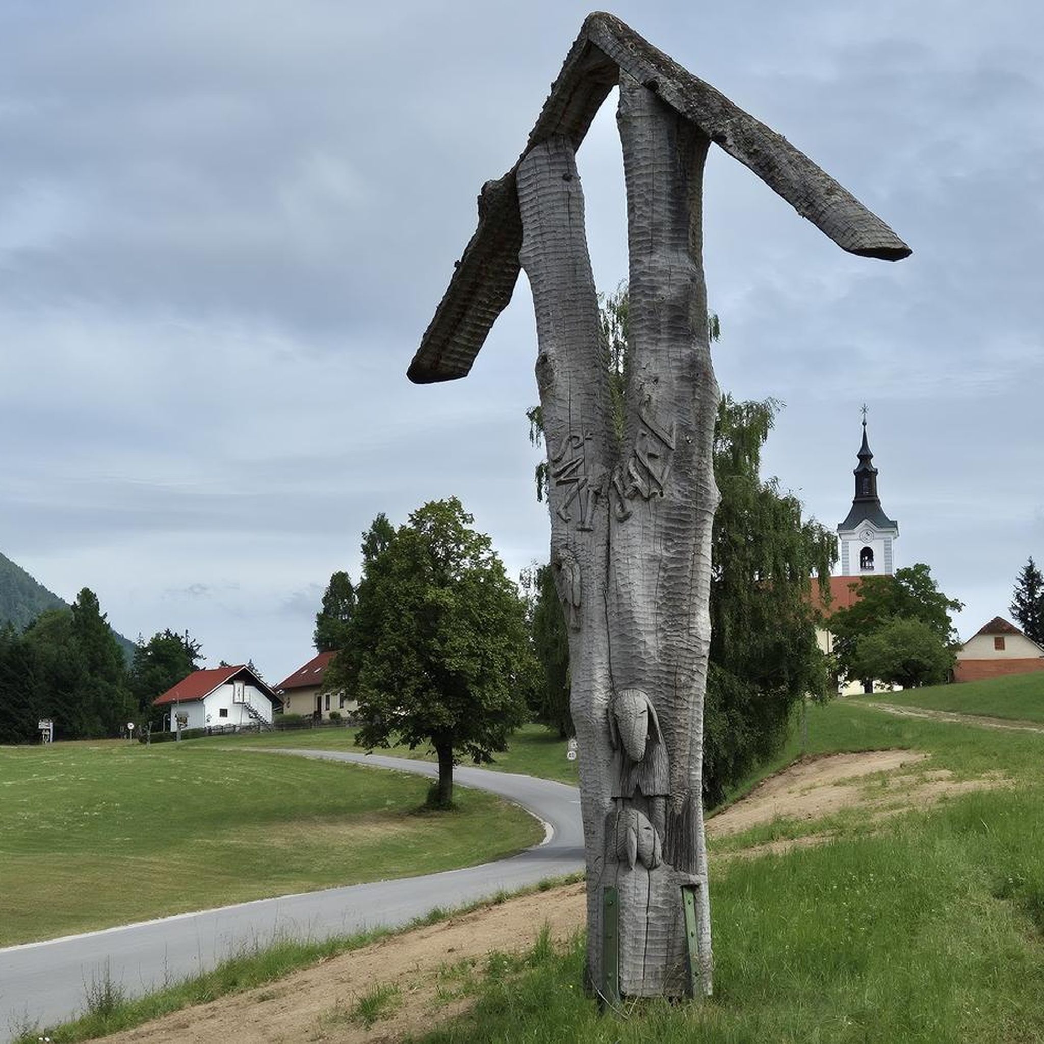
one of the most beautiful views of our Pyrenees
1
0

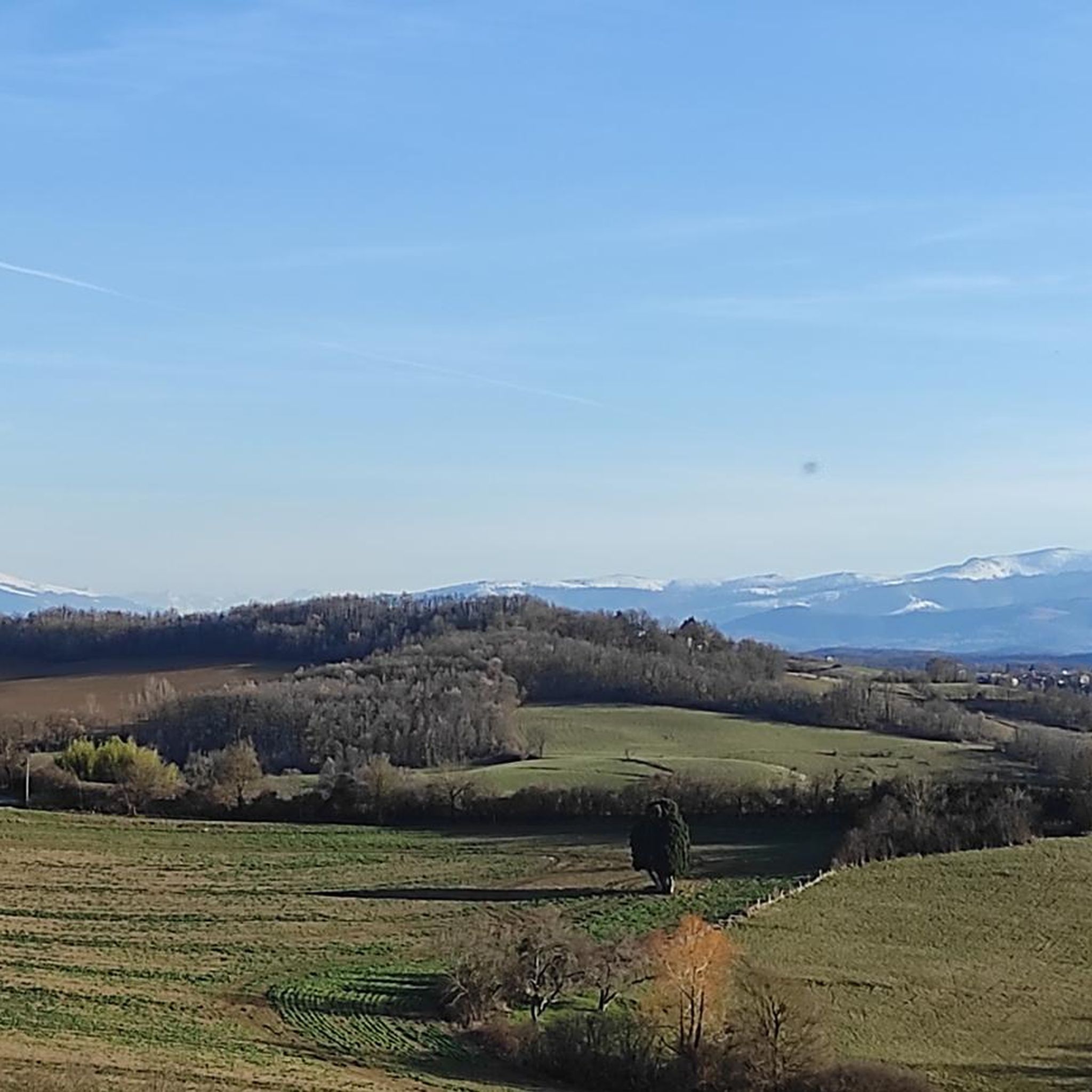
Incredible 360° views of the Ariège. Perfect picknick spot.
1
0

Tired of the view
1
0
Frequently Asked Questions
What kind of terrain can I expect on running routes in Mauvezin-De-Sainte-Croix?
The running routes in Mauvezin-De-Sainte-Croix, nestled within the Ariège Pyrenees Regional Natural Park, feature a varied natural environment. You can expect undulating topography, including hills, meadows, and dense forests, providing diverse terrain for runners. The broader Couserans region is known for its trail running opportunities, indicating paths suitable for various abilities.
Are the running routes in Mauvezin-De-Sainte-Croix challenging?
The routes around Mauvezin-De-Sainte-Croix offer a mix of difficulties. While there are no 'easy' routes listed, you'll find 11 moderate and 4 difficult routes. For example, the Dolmen de Brillaud – Dolmen du Cap del Pouech loop from Camarade is a difficult 14.1 km trail with significant elevation changes, and the Cap de Campade – le Tuc loop from Rimont is an 18.2 km difficult path with over 500 meters of elevation gain.
Are there any easier running routes for beginners in the area?
While there are no routes explicitly classified as 'easy', several moderate options are available. The Running loop from Maison de Coumanis is a moderate 7.3 km route with less than 100 meters of elevation gain, making it a good choice for those looking for a less strenuous run. Another moderate option is the Le Tuc loop from Rimont, which is 10.6 km long.
What natural features or landmarks can I see while running in Mauvezin-De-Sainte-Croix?
The region offers a rich natural environment. Some routes, like the Dolmen de Brillaud – Dolmen du Cap del Pouech loop from Camarade, pass by ancient dolmens. The broader Ariège Pyrenees Regional Natural Park features stunning mountain vistas, serene lakes, and verdant valleys. You might also encounter significant forest cover, such as the royal forest of Sainte-Croix Volvestre, offering shaded routes. For specific points of interest, you can explore highlights like Grotte du Mas-d'Azil or various greenways like The tunnels of Véloroute 81.
Are there options for longer distance running in Mauvezin-De-Sainte-Croix?
Yes, there are several routes suitable for longer distance running. The Cap de Campade – le Tuc loop from Rimont is a challenging 18.2 km path, ideal for those seeking a longer run. Another option is the Dolmen de Brillaud – Dolmen du Cap del Pouech loop from Camarade, which covers 14.1 km.
What do other runners enjoy most about jogging in Mauvezin-De-Sainte-Croix?
The running routes in Mauvezin-De-Sainte-Croix are highly rated by the komoot community, with an average score of 4.0 stars from over 10 reviews. Runners often praise the varied terrain, which includes undulating hills, meadows, and dense woodlands, providing a diverse and engaging experience amidst the preserved natural heritage of the Ariège Pyrenees Regional Natural Park.
Are most running routes circular in Mauvezin-De-Sainte-Croix?
Many of the popular running routes in the area are indeed loops, offering a convenient way to start and finish at the same point. Examples include the Dolmen de Brillaud – Dolmen du Cap del Pouech loop from Camarade, the Cap de Campade – le Tuc loop from Rimont, and the Running loop from Montjoie-en-Couserans.
What is the best time of year to go running in this region?
The Ariège Pyrenees Regional Natural Park, where Mauvezin-De-Sainte-Croix is located, offers a beautiful environment throughout much of the year. Spring and autumn generally provide pleasant temperatures for running, with vibrant foliage or blooming wildflowers. Summer can also be enjoyable, especially in the shaded forest areas, though it's wise to run during cooler parts of the day. Winter running is possible, but conditions may vary with elevation and weather.
Can I bring my dog on the running trails in Mauvezin-De-Sainte-Croix?
The Ariège Pyrenees Regional Natural Park generally welcomes dogs, but it's important to keep them on a leash, especially in areas with livestock or protected wildlife. Always check local signage on specific trails for any restrictions, and ensure your dog is well-behaved and doesn't disturb other users or the natural environment.
Are there any family-friendly running routes in Mauvezin-De-Sainte-Croix?
For families looking for a less strenuous run, routes with moderate difficulty and shorter distances are suitable. The Running loop from Maison de Coumanis, at 7.3 km with minimal elevation gain, could be a good option for families who enjoy active outings together. Always consider the fitness level of all family members before choosing a route.
Is it possible to reach the running routes by public transport?
Mauvezin-De-Sainte-Croix is a commune nestled within a rural area. While specific public transport links directly to trailheads might be limited, the broader Ariège region has some public transport options. For detailed information on bus services or other transport to Mauvezin-De-Sainte-Croix or nearby towns like Rimont or Camarade, it's best to consult local transport authorities or regional tourism websites.
Where can I park my car when accessing running trails in Mauvezin-De-Sainte-Croix?
For routes starting from specific villages or points, such as the loops from Rimont or Camarade, you can typically find parking within or near these communities. It's advisable to check maps or local information for designated parking areas close to the trailheads. Always park responsibly and respect local regulations.
Most popular routes around Mauvezin-De-Sainte-Croix
Most popular attractions around Mauvezin-De-Sainte-Croix

Get inspired with the komoot mobile app


Explore more
Browse the best Running Trails & Routes in other regions.
