The best walks and hikes around Saint-Jeure-D'Andaure
4.5
(252)
1,633
hikers
89
hikes
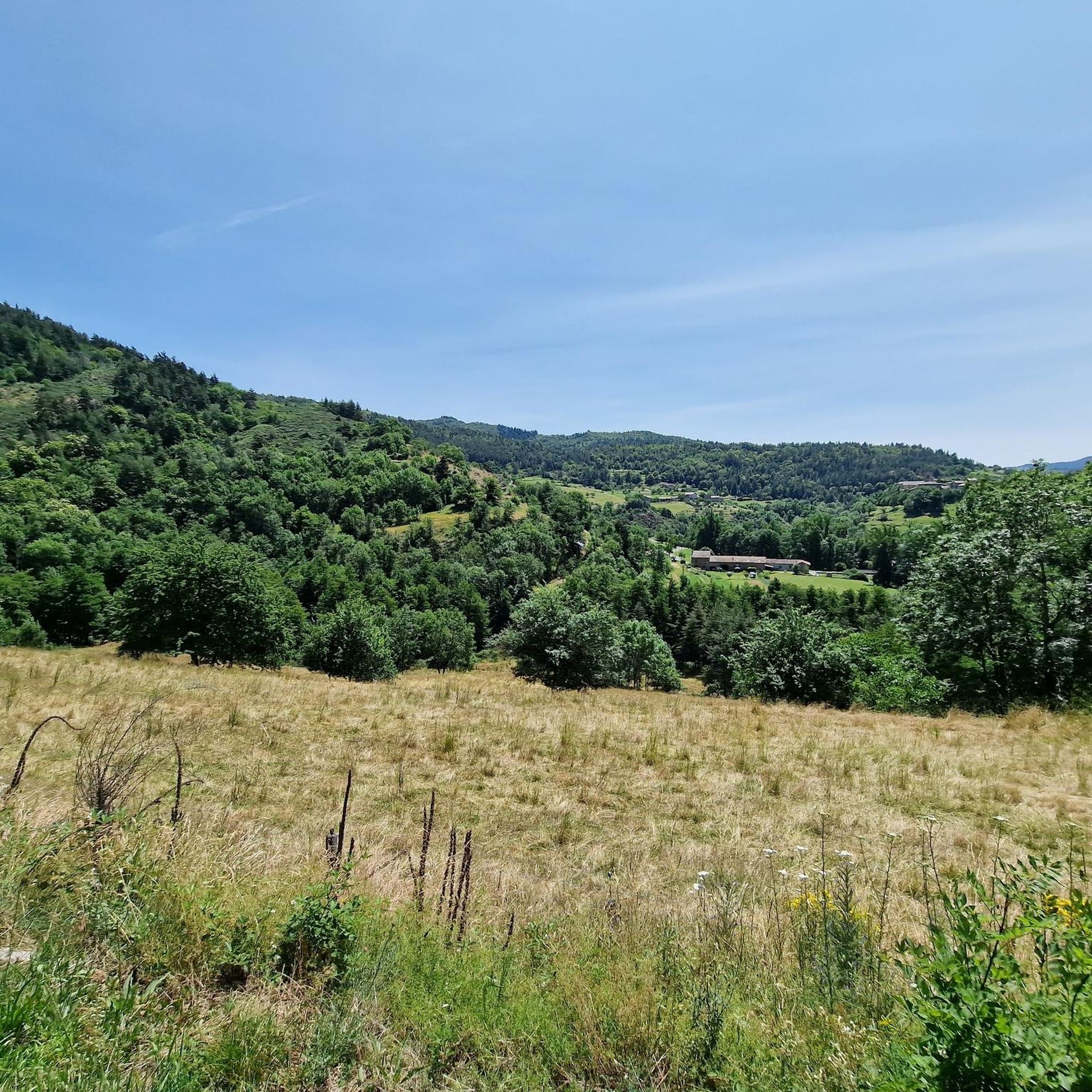
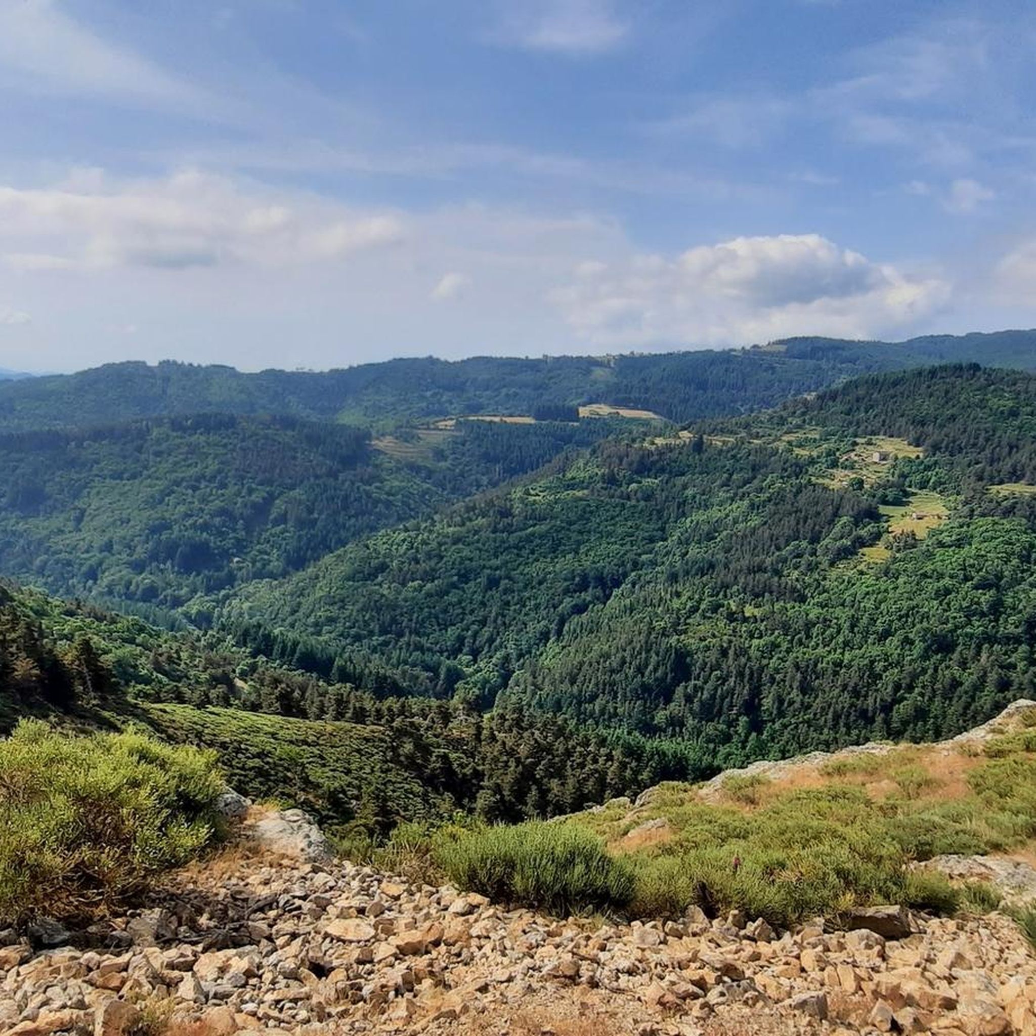
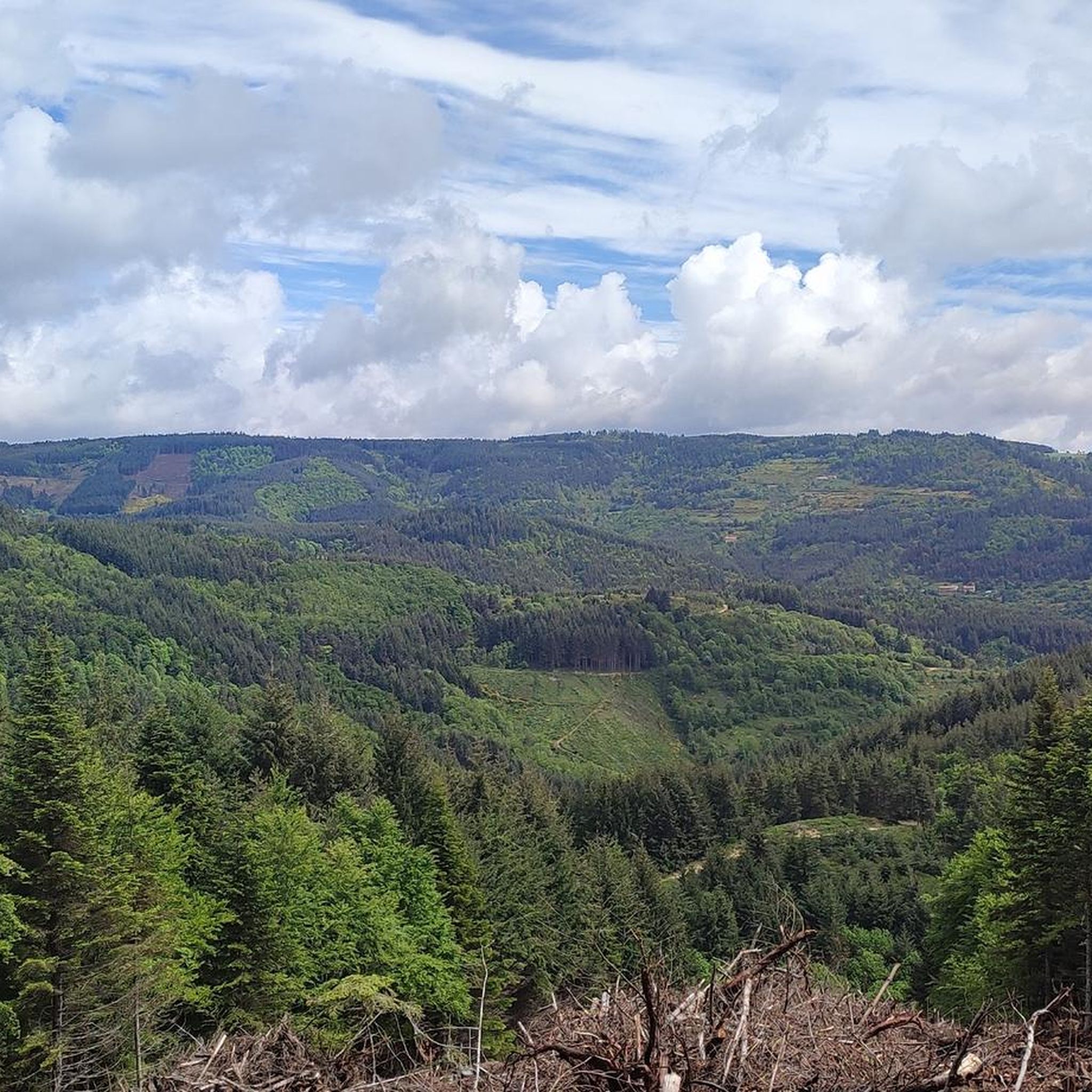
Hiking around Saint-Jeure-D'Andaure offers varied landscapes within the Ardèche department of the Auvergne-Rhône-Alpes region. The area features mountainous terrain with elevations ranging from 528 to 1,124 meters, characterized by wooded hills and diverse topography. The Doux river traverses the commune, providing trails through its valley with changing climates and vegetation. Saint-Jeure-d'Andaure is also part of the Monts d'Ardèche Regional Nature Park, known for its unspoiled natural environment and extensive trail networks.
Best hiking trails around Saint-Jeure-D'Andaure
- The most popular hiking…
Last updated: June 30, 2026
5.0
(3)
13
hikers
13.1km
04:05
510m
500m
Moderate hike. Good fitness required. Mostly accessible paths. Sure-footedness required.
4.7
(15)
63
hikers
9.81km
02:41
160m
160m
Moderate hike. Good fitness required. Easily-accessible paths. Suitable for all skill levels.

Sign up for free
4.7
(6)
55
hikers
12.8km
03:51
410m
410m
Moderate hike. Good fitness required. Easily-accessible paths. Suitable for all skill levels.
4.3
(3)
13
hikers
16.3km
04:46
410m
410m
Moderate hike. Good fitness required. Easily-accessible paths. Suitable for all skill levels.
5.0
(1)
15
hikers
6.42km
01:51
160m
160m
Easy hike. Great for any fitness level. Easily-accessible paths. Suitable for all skill levels.
Get access to more routes and recommendations from other explorers.
Sign up for free
Already have an account?
Our route recommendations are based on thousands of hikes, rides, and runs completed by other people on komoot.
Start today with a free account
Your next adventure awaits.
Login or Signup

Tips from the Community

Excellent cuisine! Very friendly service
0
0

A magnificent hike with the Alps as a focal point, a remarkable viewpoint from the site of the old Rochebloyne castle.
0
0

Beautiful downhill finish for the end of L'Ardéchoise. Be careful at the end of the descent with some very technical turns.
0
1

Only a few remains of the castle remain, but you have a great view! The approach from the east is challenging, S1-S2, but doable except for two pushing sections. The path up from the west is only suitable for hikers.
0
0


Perfect location, visible from afar
0
0

Arrival point of the Dolce Via and numerous roads, with a magnificent view of the Sucs and the Mézenc
1
0

At Le Sardier, the landscapes are revealed and the viewpoints are linked to the chain of the Alps on one side and the Ardèche plateau on the other.
0
0
Frequently Asked Questions
How many hiking trails are available around Saint-Jeure-D'Andaure?
There are over 75 hiking routes in the Saint-Jeure-D'Andaure area, catering to various skill levels. This includes 28 easy routes, 44 moderate routes, and 5 more challenging trails.
What kind of landscapes can I expect to see while hiking in Saint-Jeure-D'Andaure?
The region offers diverse landscapes, from mountainous terrain with elevations between 528 and 1,124 meters to wooded hills and the scenic Doux Valley. You'll experience significant changes in climate and vegetation, with many trails providing panoramic views, including distant glimpses of the Alps from higher points like Col de Brun.
Are there any easy, family-friendly hiking options in the area?
Yes, Saint-Jeure-D'Andaure has 28 easy routes suitable for families. An example is the Saint-Agrève Church loop from Saint-Agrève, which is 6.1 km long and generally takes around 1 hour 45 minutes to complete.
What are some notable natural features or landmarks to look out for on hikes?
The area is rich in natural beauty and interesting landmarks. You can explore various mountain passes like Buisson Pass, Col du Fau (1021 m), and Col de Clavière - 1088 m, which often offer stunning panoramas. The Doux Valley itself is a significant feature, providing unique views and varied vegetation.
Are there any circular walks available in Saint-Jeure-D'Andaure?
Yes, many of the trails in the region are circular, allowing you to start and end at the same point. For example, the moderate Devesset Lake – Lake Devesset loop from Devesset is a popular 9.8 km circular route offering views of the lake and surrounding landscape.
What do other hikers say about the trails in Saint-Jeure-D'Andaure?
The hiking trails around Saint-Jeure-D'Andaure are highly regarded by the komoot community, with an average rating of 4.6 stars from over 240 reviews. Hikers often praise the varied terrain, the beauty of the wooded hills, and the well-maintained paths that make for enjoyable exploration.
Can I find challenging hikes in this region?
While the majority of routes are easy to moderate, there are 5 difficult trails for those seeking a greater challenge. These routes typically involve more significant elevation changes and longer distances, providing a rewarding experience for experienced hikers.
What is the best time of year to go hiking in Saint-Jeure-D'Andaure?
The region is enjoyable for hiking during various seasons. The Doux Valley is particularly pleasant during the off-season, suggesting spring and autumn can offer comfortable temperatures and beautiful scenery. Summer provides warmer weather for higher altitude trails, while extensive wooded areas offer shade.
Are there any long-distance hiking trails accessible from Saint-Jeure-D'Andaure?
Yes, hikers can access sections of the GR® 420 and GR® 430 trails from the vicinity. These long-distance routes tend to stay at higher altitudes and offer extensive exploration around mountains like Chaix and Besset, and the GR 430 is also known as the Chemin de Saint Régis.
Where can I find parking for hiking trails in Saint-Jeure-D'Andaure?
While specific parking locations for every trail are not detailed, Saint-Jeure-d'Andaure itself has dedicated walking circuits starting from a picnic area with a water point, implying accessible parking facilities are available in the village or at trailheads. It's advisable to check individual route details on komoot for specific parking information.
Are there any historical sites or interesting structures to see along the routes?
Yes, beyond natural features, you can encounter historical elements. For instance, the Old Lamastre train station and the impressive Viaduc de Chabranç are points of interest that can be explored in the wider area around Saint-Jeure-D'Andaure.
What is the Monts d'Ardèche Regional Nature Park and how does it relate to hiking here?
Saint-Jeure-D'Andaure is located within the Monts d'Ardèche Regional Nature Park. This expansive park is renowned for its unspoiled natural environment, diverse landscapes including volcanoes and valleys, and a rich geological history. The park alone boasts an impressive 4,000 km of hiking trails, making it a prime destination for outdoor enthusiasts.
Most popular routes around Saint-Jeure-D'Andaure
Most popular attractions around Saint-Jeure-D'Andaure

Get inspired with the komoot mobile app


Explore more
Browse the best Hikes in other regions.
