The best running trails around Beurnevésin
4.1
(26)
1,800
runners
125
runs
Jogging routes around Beurnevésin traverse a landscape characterized by gentle rolling terrain and a network of ponds and wetlands, notably around Bonfol. The region features a mix of open areas and forested sections, with minimal elevation changes. Running trails often follow paths near historic border markers, offering varied scenery for different fitness levels.
Best jogging routes around Beurnevésin
- The most popular jogging route is Bonfol Ponds Loop, a 2.4 miles (3.9 km) trail that takes about 26 minutes to…
Last updated: October 10, 2026
3.5
(2)
3
runners
3.89km
00:26
30m
30m
Easy run. Great for any fitness level. Mostly paved surfaces. Suitable for all skill levels.
11
runners
9.47km
01:04
100m
100m
Hard run. Good fitness required. Sure-footedness, sturdy shoes and alpine experience required.

7
runners
17.4km
01:53
170m
170m
Hard run. Very good fitness required. Sure-footedness, sturdy shoes and alpine experience required.
7
runners
13.4km
01:24
110m
110m
Moderate run. Good fitness required. Mostly paved surfaces. Suitable for all skill levels.
5
runners
9.98km
01:03
90m
90m
Moderate run. Good fitness required. Mostly paved surfaces. Suitable for all skill levels.
Get access to more routes and recommendations from other explorers.
Already have an account?
Our route recommendations are based on thousands of hikes, rides, and runs completed by other people on komoot.
Start today with a free account
Your next adventure awaits.

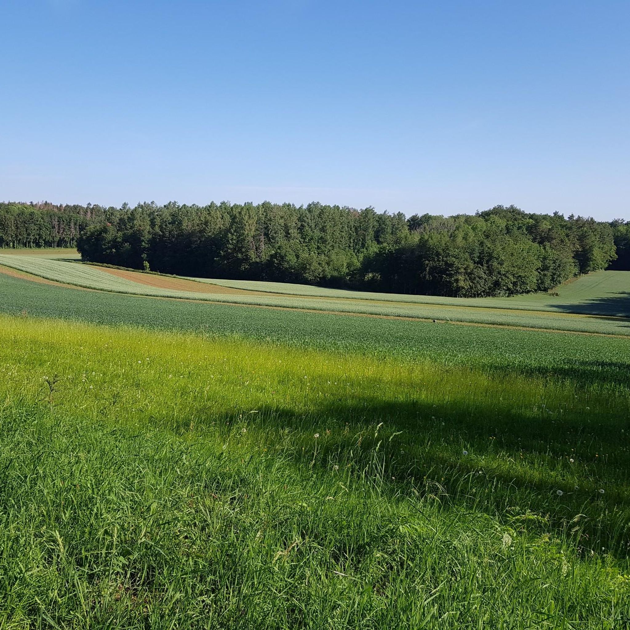
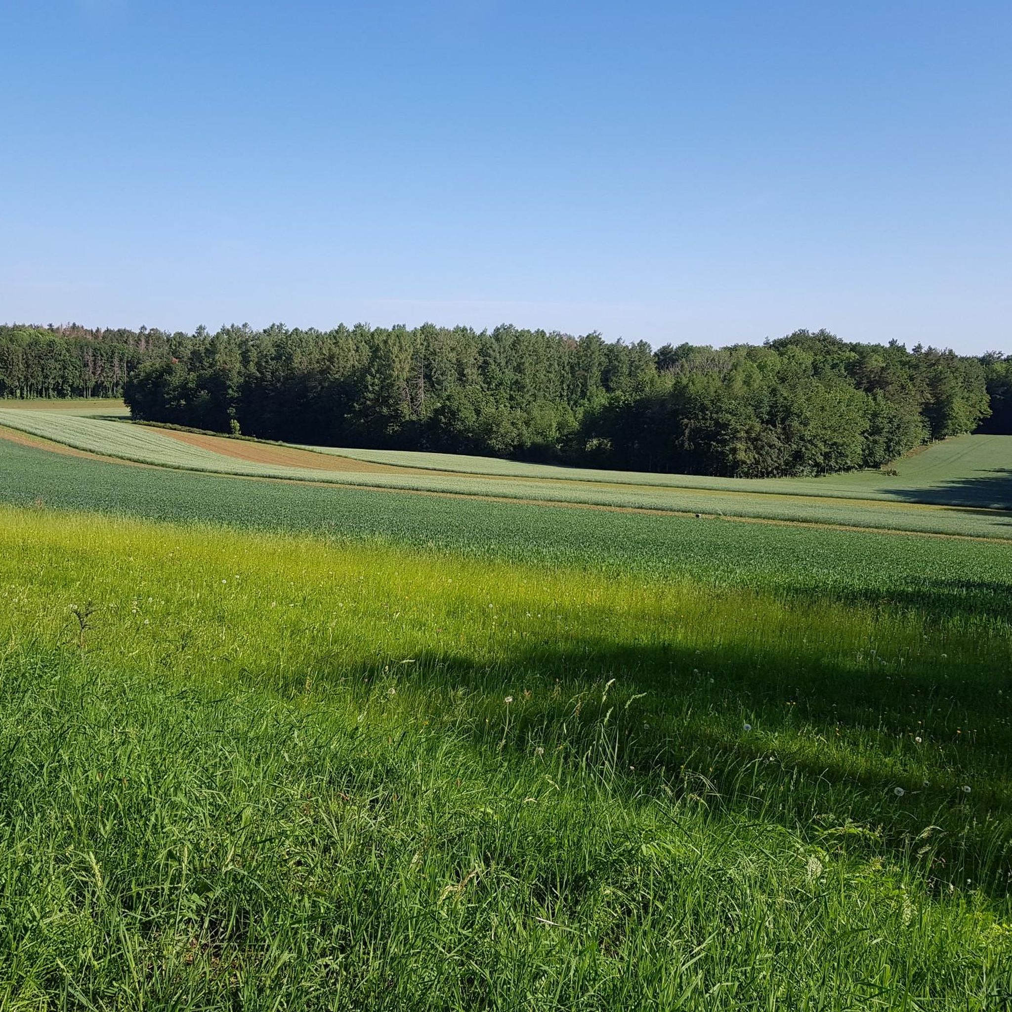
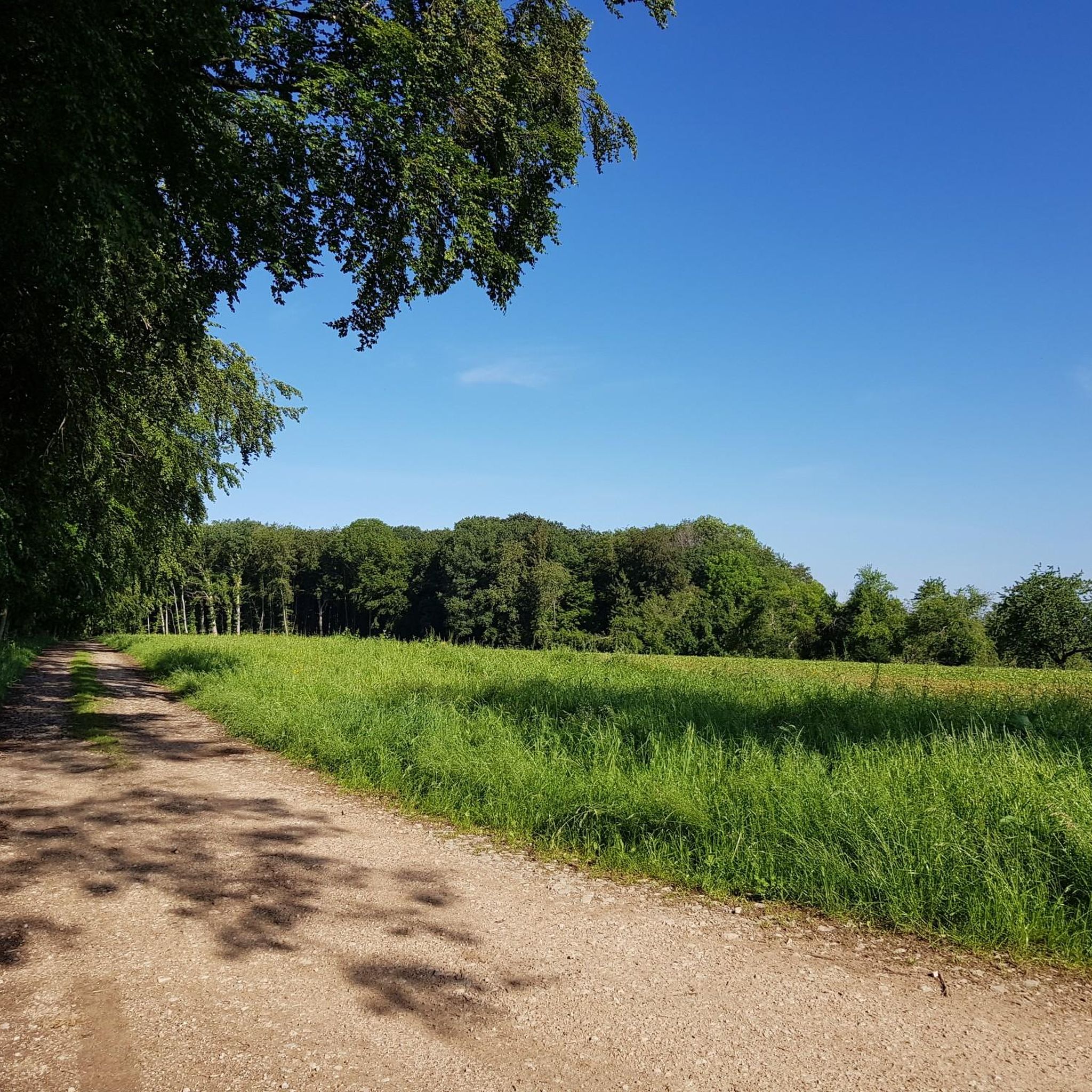
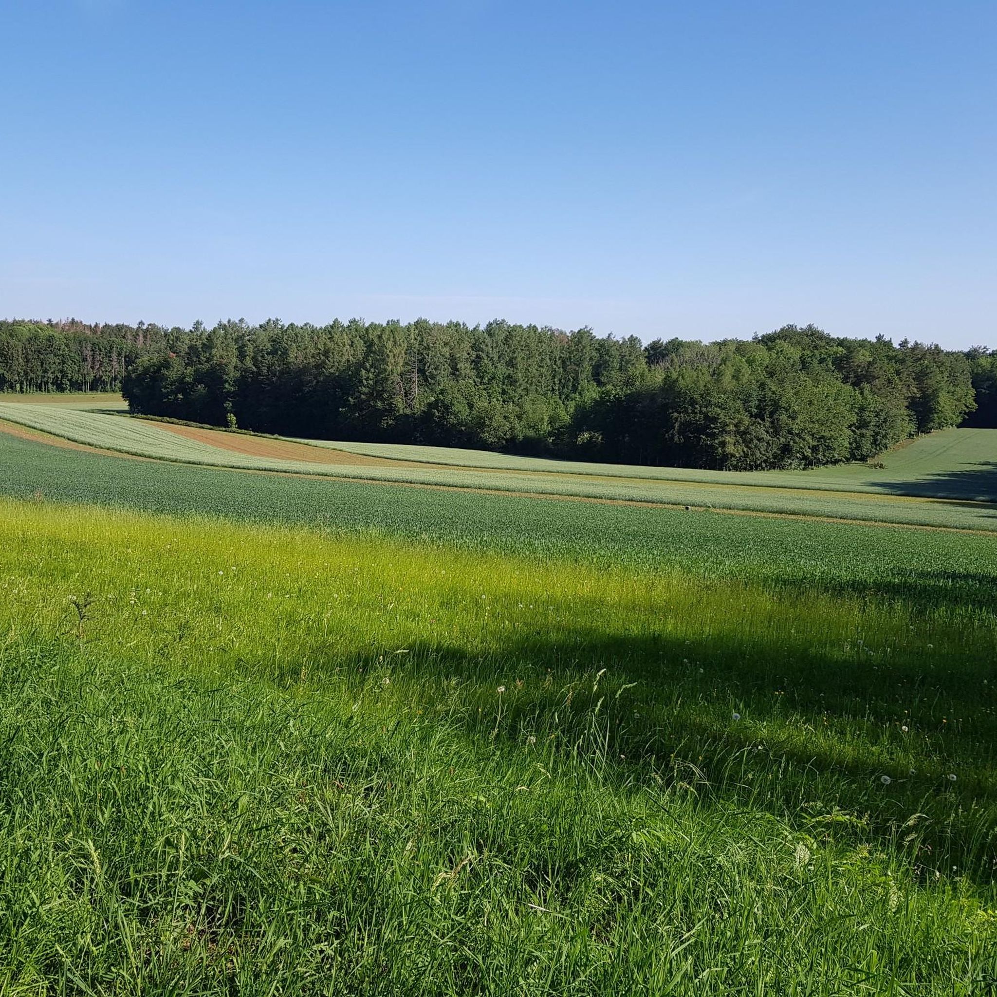
Tips from the Community

Observation post No. 2 in Largin was a Swiss wooden blockhouse during the First World War. From here, Swiss soldiers observed the French and German positions just a few hundred meters away and monitored Swiss neutrality. The post was thus located immediately at the southern end of the Western Front. The original blockhouse was reconstructed in 2012 based on historical models and can be visited today.
0
0
Kilometer 0 – Border stone of the Western Front The border stone No. 111 at Largin near Pfetterhouse marks the so-called “Kilomètre Zéro”, the southern starting point of the Western Front in World War I. From autumn 1914, the front ran here between France and Germany; on the Swiss side, the neutral Swiss army observed the events. From this point, the front line stretched for around 750 km to the North Sea. Today, the border stone, the reconstructed Swiss observation post, and numerous trenches and bunkers commemorate this special section of the Western Front.
0
0
The Ferme du Largin is located in the Swiss "corner" near Bonfol, directly at Kilomètre Zéro of the Western Front section. In the First World War, it was an important observation post for the Swiss army, which monitored the opposing French and German positions from here. The area became a meeting point for three armies in 1914–1918 – France, Germany, and Switzerland. Today, the Ferme is a working farm and the starting point of the 7.5 km long Kilomètre-Zéro circular trail, where numerous traces and fortifications of the former front can still be seen.
0
0
The Largtalbahn: Dannemarie–Pfetterhouse–Bonfol The line was called Largtalbahn in German, or the Dannemarie–Pfetterhouse railway line. It ran from Dannemarie (Dammerkirch) through the Largtal via Dannemarie → Altenach → Mertzen → Friesen → Seppois-le-Bas → Pfetterhouse → Swiss border → Bonfol → Porrentruy. The French section was about 20 km long. The line opened in 1910 and was initially a connection within the then German Empire, or between the German Empire and Switzerland. When the line was built, Alsace still belonged to the German Empire. The state treaty for the railway connection between Pfetterhausen and Bonfol was concluded in 1906 between the German Empire and Switzerland. With the start of the First World War, cross-border traffic was stopped. The border between Pfetterhouse and Bonfol was closed. At the same time, Pfetterhouse was located directly at the southern end of the Western Front. The railway could no longer be used simply as a normal international connection. The military significance of the area was considerable: military operations took place in the forests on both sides of the border, partly to prevent Alsatians from fleeing to Switzerland. Even today, traces of shell impacts are still present there.
0
0

At border post 111, on the French-Swiss border near Pfetterhouse, the Western Front of the First World War officially began in the autumn of 1914. This spot, where the borders of France, Germany and Switzerland had previously met, became the symbolic Kilometre Zero of a front line that stretched over 750 kilometres to the North Sea. Today it is a peaceful spot along a hiking and cycling trail, where you literally stand at the start of one of the most defining fronts in modern history.
8
0
Near the border stone 111, the official Kilometre Zero of the Western Front, there was a wooden observation post of the Swiss army during the First World War. This Poste d'observation N°2 offered a view of the French and German lines, while Switzerland maintained its neutrality 1. The post was a symbol of the tense calm at this unique border location, where three armies followed each other closely. Today, the site has been partly reconstructed and forms a special historical point along the hiking and cycling path in the far south of Alsace.
8
0
Ferme du Largin – border farm between war and neutrality: The Ferme du Largin is located on a Swiss border spur near Pfetterhouse, at a symbolic place where France, Germany and Switzerland met. During the First World War, it was an important observation point on the edge of the front, guarded by neutral Switzerland. The farm was shelled in October 1914, which led to a diplomatic incident between Germany and Switzerland. During the Second World War, it became a refuge for resistance fighters and refugees. Today, the farm has been partly restored and is a silent witness to border history, war and human resilience.
7
0

Beautiful pond on the edge of the forest. Many paths lead through the woods, enough to make a nice little outing from Vendlincourt.
0
0
Frequently Asked Questions
How many running routes are available around Beurnevésin?
There are over 125 running routes around Beurnevésin documented on komoot, offering a wide range of options for different fitness levels and preferences.
Are there easy running trails suitable for beginners in Beurnevésin?
Yes, Beurnevésin offers several easy running trails perfect for beginners. An excellent option is the Bonfol Ponds Loop, which is 2.4 miles (3.9 km) long and features minimal elevation changes, offering pleasant views of the local ponds.
What kind of terrain can I expect on jogging routes in Beurnevésin?
Jogging routes in Beurnevésin primarily traverse gentle rolling terrain, characterized by a mix of open areas and forested sections. You'll often find paths near ponds and wetlands, particularly around Bonfol, with minimal elevation changes, making for a generally smooth running experience.
Are there any circular running routes in the Beurnevésin area?
Absolutely. Many routes in Beurnevésin are designed as loops. For example, the popular Birdwatching Cabin – Étangs de Bonfol loop from Vendlincourt is a moderate 5.6-mile (9.1 km) circular path exploring the natural setting of the Étangs de Bonfol.
What are some interesting natural attractions or landmarks I can see while running in Beurnevésin?
The region is known for its natural beauty, especially its ponds and wetlands. You can run past the beautiful Étangs de Bonfol or the Vendlincourt Pond. Some routes also pass by historic border markers, adding a unique cultural element to your run.
Are there any longer, more challenging running trails for experienced runners?
Yes, for those seeking a greater challenge, Beurnevésin offers more difficult routes. The Historic Border Marker D/F/CH – Km 0 loop from Pfetterhouse is a difficult 9.4-mile (9.5 km) route with more significant elevation changes, providing a robust workout.
What do other runners say about the trails in Beurnevésin?
The running trails in Beurnevésin are highly regarded by the komoot community, holding an average rating of 3.9 stars from over 16 reviews. Runners often praise the varied terrain, the peaceful atmosphere around the ponds, and the well-maintained paths suitable for different abilities.
Can I find running routes that are suitable for families with children?
Many of the easier and shorter routes, particularly those around the ponds with minimal elevation, are suitable for families. The Bonfol Ponds Loop is a great example of a family-friendly option due to its manageable distance and gentle profile.
Is there public transport access to the jogging routes in Beurnevésin?
While specific public transport details for each trailhead are not universally available in this guide, it's advisable to check the individual route pages on komoot for information regarding public transport connections to the starting points of your chosen running trails.
Where can I park when visiting the running trails in Beurnevésin?
Parking availability can vary by trailhead. For detailed information on parking facilities, including specific locations and any potential fees, please consult the individual komoot route pages for the running trail you plan to explore.
Are there any running routes that offer opportunities for wildlife spotting?
Given the region's network of ponds and wetlands, especially around Bonfol, many routes offer excellent opportunities for wildlife observation. The Birdwatching Cabin – Étangs de Bonfol loop from Vendlincourt is particularly well-suited for this, as it explores an area known for its natural setting and avian life.
What is the best time of year to go running in Beurnevésin?
The gentle terrain and natural beauty of Beurnevésin make it suitable for running throughout much of the year. Spring and autumn offer pleasant temperatures and vibrant scenery, while summer provides longer daylight hours. Even in winter, many paths remain accessible, offering a serene experience amidst the quiet landscape.
Most popular routes around Beurnevésin
Most popular attractions around Beurnevésin

Get inspired with the komoot mobile app


Explore more
Browse the best Running Trails & Routes in other regions.
