The best running trails around Zweisimmen
4.7
(77)
1,213
runners
27
runs
Jogging around Zweisimmen offers diverse landscapes within the picturesque Simmental Valley of the Bernese Oberland. The region features lush alpine meadows, rolling hills, and an extensive network of trails. A prominent natural feature is the meandering Simme River, with many running routes following its waters and providing views of the surrounding mountains. The area also includes unique protected moorlands, offering varied terrain for exploration.
Best jogging routes around Zweisimmen
- The most popular jogging route is Zweisimmen railway station – Mountain Stream Path loop from Zweisimmen, a 5.1 miles (8.2 km) trail that takes about 53 minutes to complete. This moderate route follows a mountain stream path through varied scenery.
- Another top favourite among local runners is Bridge over the Simme River – Zweisimmen railway station loop from Zweisimmen, a moderate 7.8 miles (12.5 km) path. This route offers views along the Simme River and through the valley.
- Local runners also love the Mountain Stream Path – Zweisimmen railway station loop from Zweisimmen, a 9.6 miles (15.5 km) trail leading through woodlands and alongside the mountain stream, often completed in about 1 hour 42 minutes.
- Jogging around Zweisimmen is defined by alpine meadows, rolling hills, and the Simme River, with routes offering options for different ability levels.
- The routes in Zweisimmen are highly rated by the komoot community with an average score of 4.8 stars from over 60 reviews. More than 1200 runners have used komoot to explore Zweisimmen's varied terrain.
Last updated: July 10, 2026
5.0
(1)
33
runners
Moderate run. Good fitness required. Mostly paved surfaces. Suitable for all skill levels.
36
runners
10.2km
01:13
210m
210m
Moderate run. Good fitness required. Mostly paved surfaces. Suitable for all skill levels.

Sign up for free
5.0
(1)
39
runners
15.9km
01:44
150m
150m
Hard run. Very good fitness required. Mostly paved surfaces. Suitable for all skill levels.
5.0
(1)
20
runners
10.2km
01:28
410m
410m
Hard run. Very good fitness required. Sure-footedness, sturdy shoes and alpine experience required.
5.0
(1)
17
runners
9.19km
01:19
390m
390m
Hard run. Very good fitness required. Sure-footedness, sturdy shoes and alpine experience required.
Get access to more routes and recommendations from other explorers.
Sign up for free
Already have an account?
Our route recommendations are based on thousands of hikes, rides, and runs completed by other people on komoot.
Start today with a free account
Your next adventure awaits.
Login or Signup
Popular around Zweisimmen
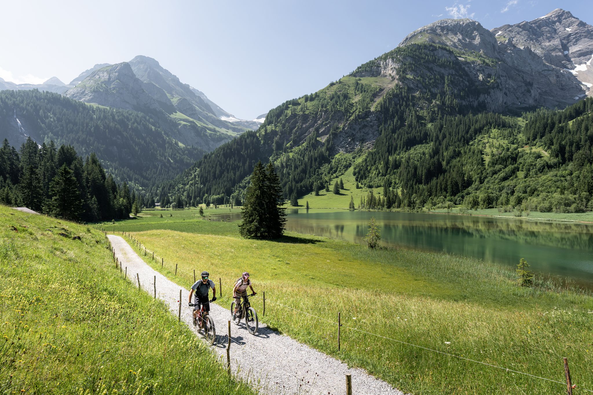
Time for more MOUNTAINBIKE – our 10 highlights
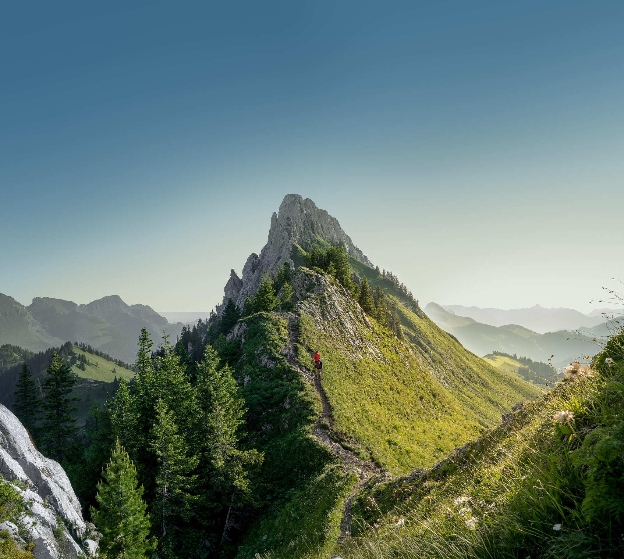
Zeit für mehr WANDERN – unsere 10 Highlights
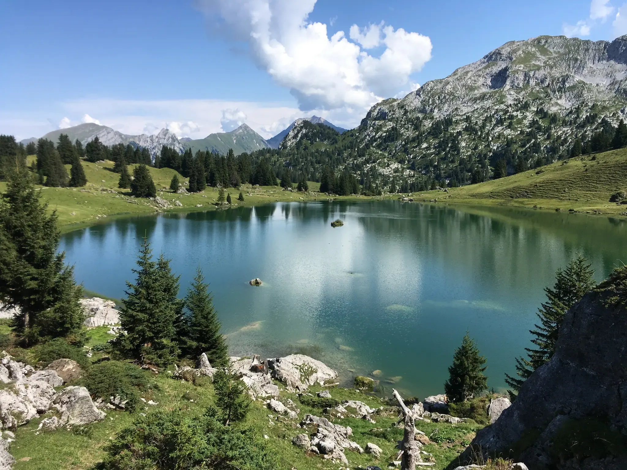
Mountain lakes, streams and castles – Berner Voralpenweg
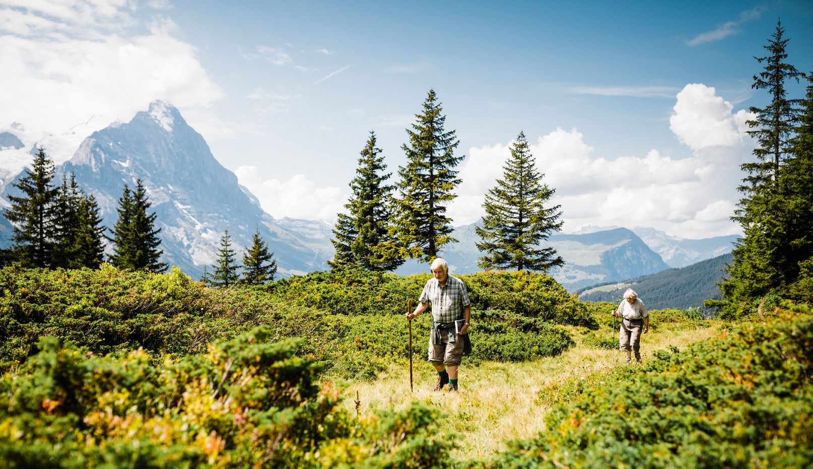
Hiking in Bernese Oberland — where Goethe left his mark
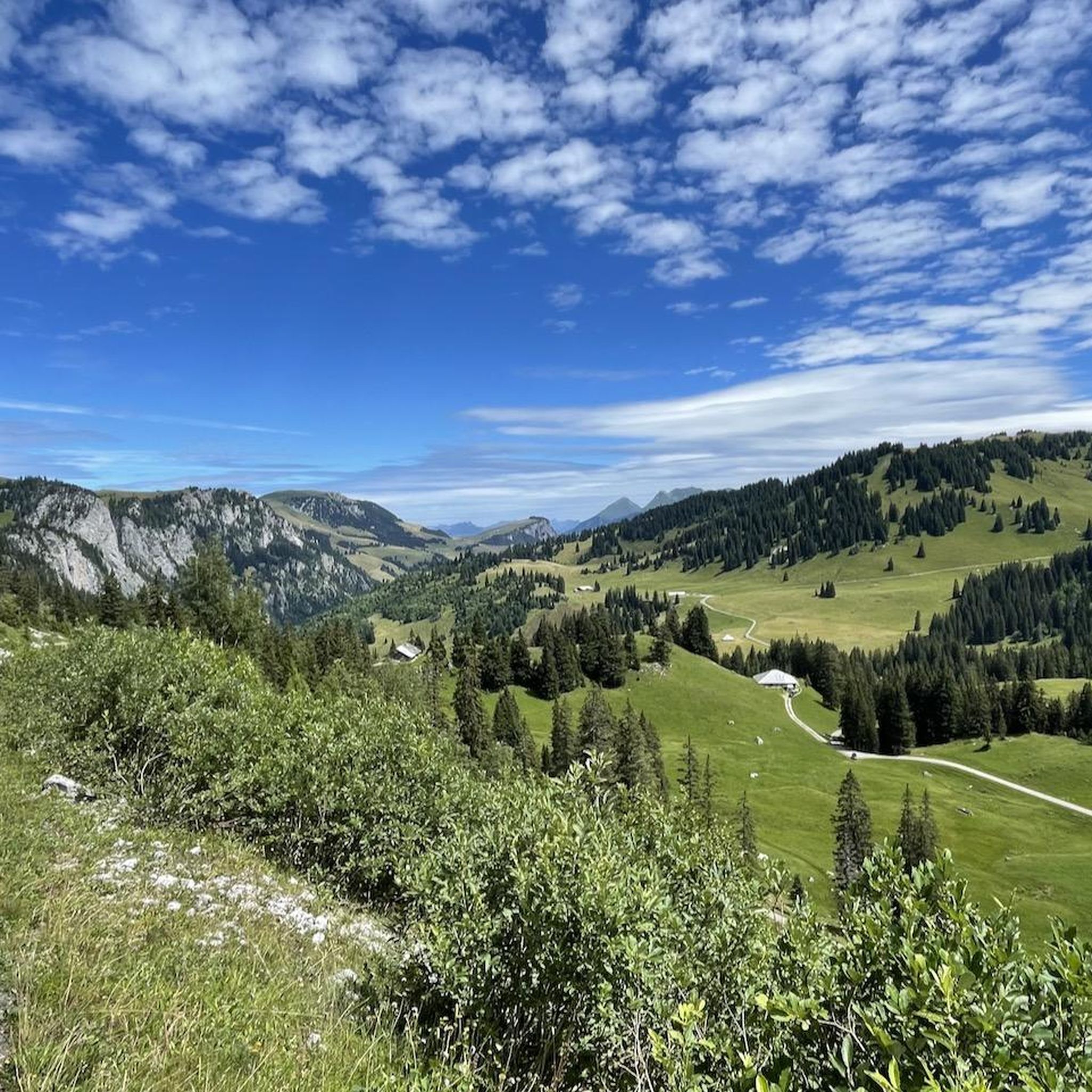
Hiking around Zweisimmen
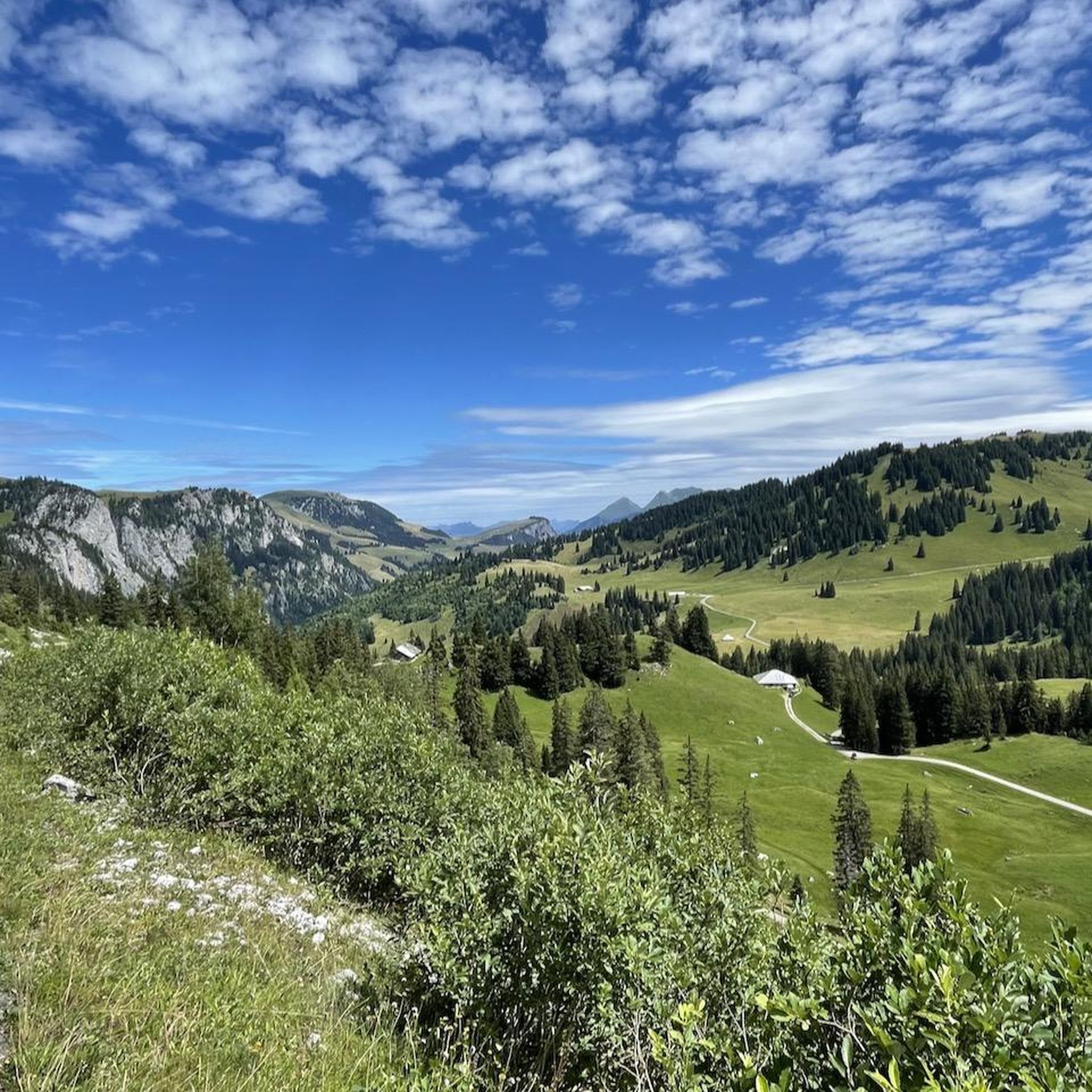
MTB Trails around Zweisimmen
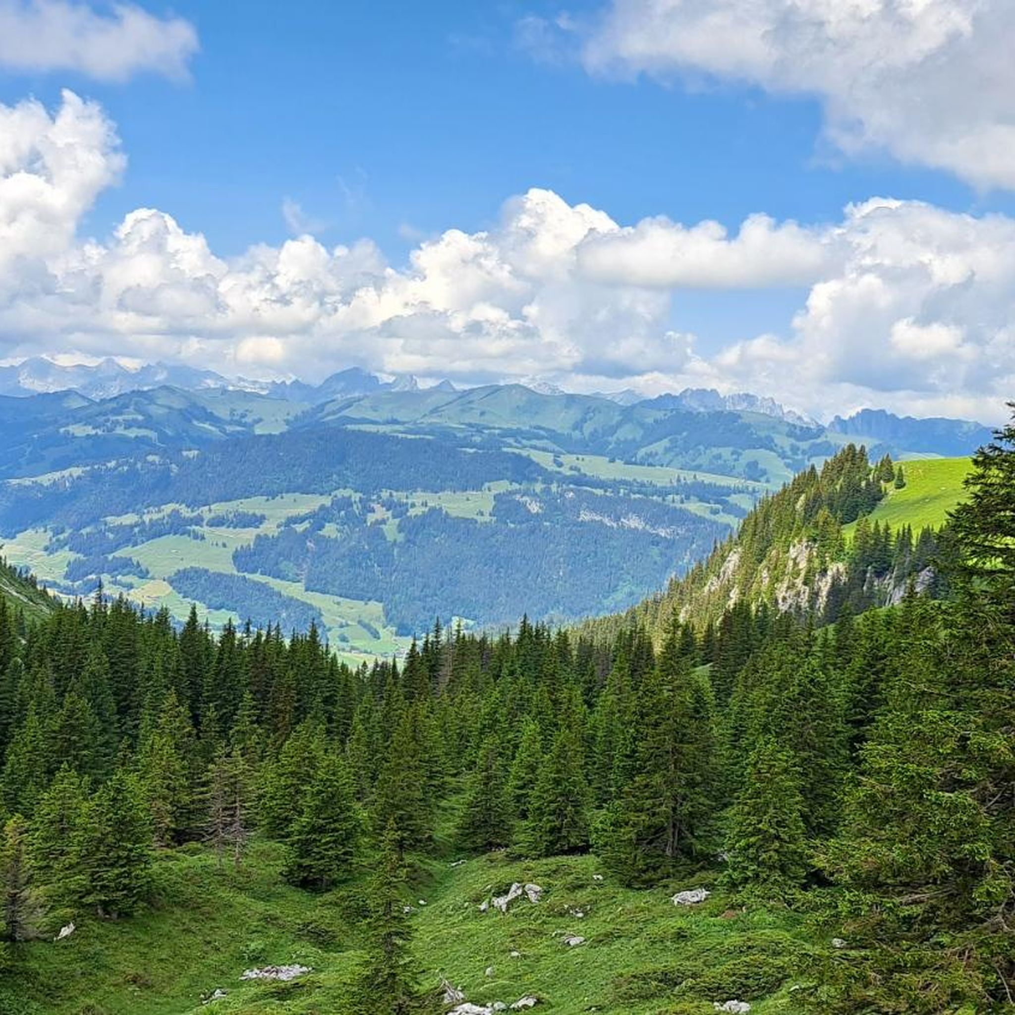
Cycling around Zweisimmen
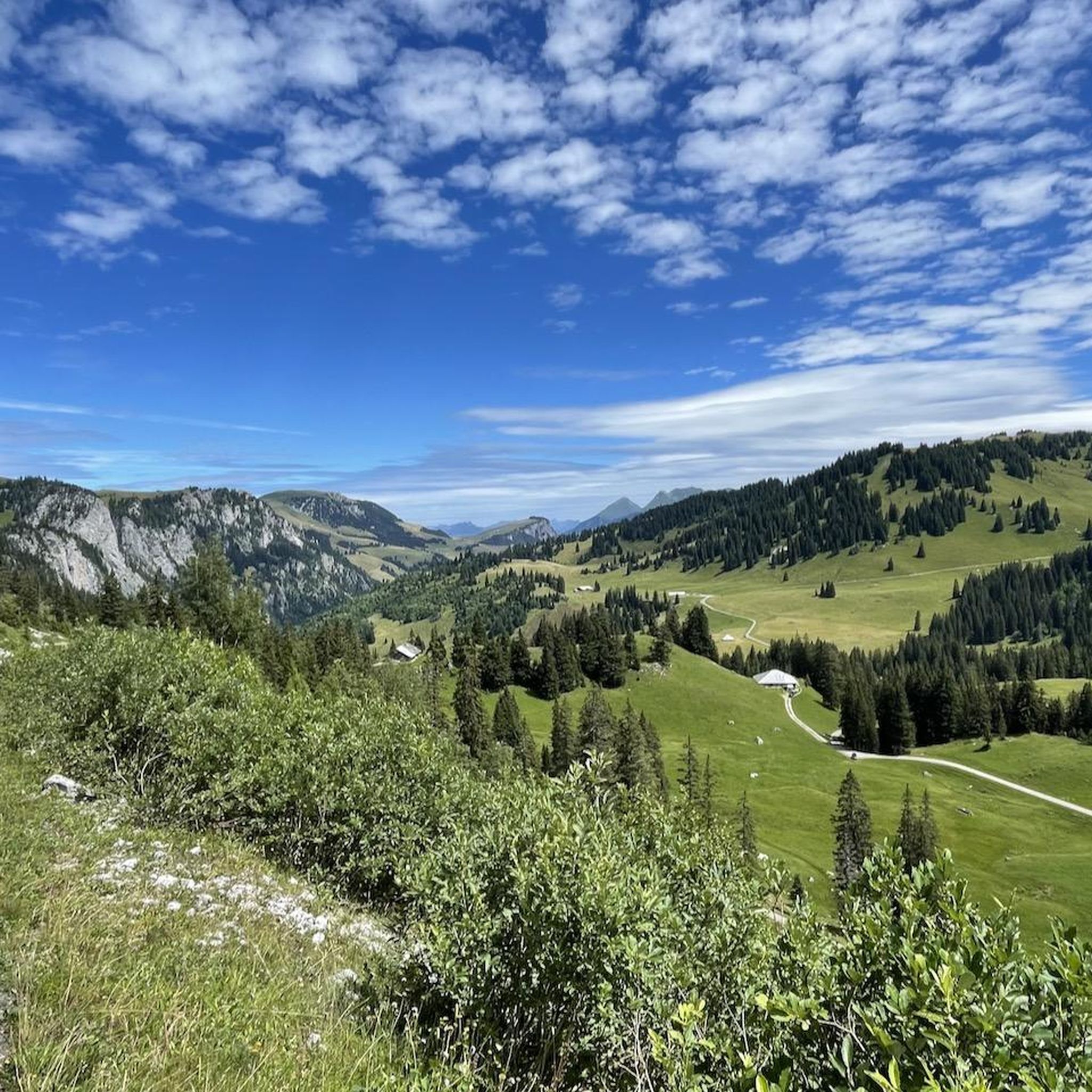
Road Cycling Routes around Zweisimmen

Gravel biking around Zweisimmen
Mountain Hikes around Zweisimmen
Other adventures around Zweisimmen


Tips from the Community

There's something going on. Just be careful that no one runs over your toes with their rolling suitcase. Those things are big. ;-)
0
0

Great starting point for hikes and MTB tours.
0
0

A good place to end a tour.
0
0
Permanently closed since autumn 2024.
0
0

World premiere on the panoramic route since December 2022 The "GoldenPass Express", which has been in operation since December 2022, is a link between the Vaud Riviera and the Bernese Oberland. It enables a fascinating journey without changing trains between Montreux, Gstaad and Interlaken. In 3 hours and 15 minutes, an entire country passes by in all its diversity. It is no coincidence that the first panoramic carriages in Switzerland circulated on this route forty years ago: the journey from Zweisimmen via Gstaad, the Saanenland, the Vaud Pays d'Enhaut and through the vineyards down to Montreux on Lake Geneva - or vice versa - is one of the most attractive in Switzerland and offers fantastic postcard views. Until now, Zweisimmen was the hub. Anyone travelling from Bern or Interlaken and wanting to take the Montreux-Berner Oberland-Bahn (MOB) train on the famous panoramic route to Lake Geneva had to change at the foot of the Rinderberg. The BLS runs on a standard gauge of 1,435 metres as far as Zweisimmen; the route through the Saanenland and the Vaud Pays d’Enhaut to Montreux with the MOB, on the other hand, is a metre gauge. With the “GoldenPass Express”, an age-old vision becomes reality: the stress of changing trains in Zweisimmen is eliminated – an important relief for individual and group travellers who experience the “GoldenPass route” as the highlight of their tour through Switzerland. In Zweisimmen, travellers remain seated in the comfortable carriages of the second, first or prestige class while a spectacular technical process takes place beneath the train. Thanks to a technology designed by MOB and further developed by Alstom, the car body is raised from 350 to 550 millimeters. And the track width of the bogies is reduced from 1.435 meters to one meter. Other companies have also equipped their trains with variable bogies, such as the Spanish Talgo. However, the bogie of the "GoldenPass Express" is the only one with such a strong reduction or widening of the track. Text / Source: Basler Zeitung / cp.bazonline.ch https://cp.bazonline.ch/de/stories/9446-weltpremiere-auf-der-panoramastrecke
12
0
Gauge change at Zweisimmen station from meter gauge to standard gauge since December 2022 Thanks to the gauge change system at Zweisimmen station, the chassis spread so that the train can change from meter gauge (1M.) to standard gauge (1M.435) and vice versa. The carriages also rise and adapt to the platform (55cm on standard gauge, 35cm on meter gauge) Text / Source: Compagnie du chemin de fer Montreux Oberland bernois SA, Rue de la Gare 22, Montreux
12
0

Frequently Asked Questions
How many running routes are available in Zweisimmen?
Zweisimmen offers a diverse network of over 25 running routes, catering to various fitness levels. These include easy, moderate, and difficult trails, ensuring there's something for every runner.
Are there easy running paths for beginners in Zweisimmen?
Yes, Zweisimmen has several easy running paths perfect for beginners or those looking for a relaxed jog. There are at least 3 routes classified as easy, often following paved paths or gentle terrain through the valley.
Can I find longer running trails for more challenging workouts?
Absolutely. For those seeking a challenge, Zweisimmen features longer and more difficult running trails. An example is the Mountain Stream Path – Zweisimmen railway station loop, which is 9.6 miles (15.5 km) long and involves more significant elevation changes, making it a demanding run.
What kind of scenery can I expect on the jogging routes around Zweisimmen?
The running routes in Zweisimmen offer a picturesque blend of landscapes. You'll jog through lush alpine meadows, past rolling hills, and alongside the meandering Simme River. Many trails also feature woodlands, open fields, and views of traditional timbered houses, all set against the stunning backdrop of the Bernese Oberland mountains.
Are there any specific landmarks or natural attractions to see while running?
Yes, several routes offer views of natural attractions. The Bridge over the Simme River – Zweisimmen railway station loop follows the prominent Simme River. For more challenging runs, you might encounter the protected Seebergsee, a scenic lake, or pass through unique protected moorlands like those on the Hundsrügg and Sparenmoos.
Are the running routes in Zweisimmen suitable for families?
Many of the easier and moderate routes in Zweisimmen are suitable for families, especially those that follow the valley floor or paved paths. These trails often have less elevation gain and provide a pleasant experience for all ages. Look for routes described as 'easy' or 'moderate' for family-friendly options.
Can I bring my dog on the running trails in Zweisimmen?
Generally, dogs are welcome on most outdoor trails in the Zweisimmen region. However, it's always advisable to keep your dog on a leash, especially in areas with grazing livestock or protected wildlife. Please be mindful of local regulations and ensure your dog is well-behaved and doesn't disturb other trail users or animals.
Are there circular running routes available?
Yes, many of the running routes around Zweisimmen are circular, allowing you to start and end at the same point without retracing your steps. Popular examples include the Zweisimmen railway station – Mountain Stream Path loop and the Bridge over the Simme River – Zweisimmen railway station loop.
What do other runners say about the trails in Zweisimmen?
The running trails in Zweisimmen are highly regarded by the komoot community, boasting an impressive average rating of 4.8 stars from over 60 reviews. Runners frequently praise the diverse landscapes, well-maintained paths, and the stunning views of the Simmental Valley and surrounding mountains.
Is public transport accessible for reaching the trailheads?
Zweisimmen is well-connected by public transport, particularly its railway station, which serves as a convenient starting point for many routes. Several trails, such as the Zweisimmen railway station – Mountain Stream Path loop, begin directly from the station, making access straightforward for runners relying on public transport.
Are there options for parking near the running routes?
Yes, parking is generally available in Zweisimmen, particularly near the railway station and other central points, which often serve as trailheads. Specific parking information for individual routes can usually be found on komoot route pages or local tourism websites.
What is the best time of year to go jogging in Zweisimmen?
The spring, summer, and autumn months are ideal for jogging in Zweisimmen, offering pleasant temperatures and vibrant scenery. Spring brings blooming alpine meadows, summer provides warm, sunny days, and autumn showcases beautiful fall foliage. While winter jogging is possible, some higher-altitude trails may be covered in snow and require appropriate gear.
Are there any routes that pass by lakes or water features?
Yes, the region is known for its water features. The prominent Simme River meanders through the valley, and many running routes, like the Bridge over the Simme River – Zweisimmen railway station loop, follow its banks. For more challenging runs, you might encounter the beautiful Seebergsee, a protected lake often included in longer hiking and running routes.
Most popular routes around Zweisimmen
Most popular attractions around Zweisimmen

Get inspired with the komoot mobile app


Explore more
Browse the best Running Trails & Routes in other regions.
