The best mountain hikes around Gsteig
4.8
(5)
57
hikers
8
hikes
Mountaineering around Gsteig is characterized by its rugged mountain landscape within the Saane Valley, offering access to high-alpine terrain. The region features prominent natural landmarks such as the Diablerets Massif, Glacier 3000, and the historic Sanetsch Pass. Diverse mountain peaks, including the Arpelistock Summit, provide varied challenges and panoramic views across the Bernese and Valais Alps.
Best mountaineering routes around Gsteig
- The most popular mountaineering route is Buvette des Petits-Lacs loop from Col des Mosses, a 6.5 miles (10.5…
Last updated: May 15, 2026
5.0
(2)
9
hikers
8.26km
03:40
660m
660m
Moderate mountaineering route. Good fitness required. Mostly accessible paths. Sure-footedness required.
5.0
(1)
12
hikers
1.80km
01:17
140m
140m
Hard mountaineering route. Great for any fitness level. Sure-footedness, sturdy shoes and alpine experience required.

Sign up for free
7
hikers
7.02km
04:38
730m
730m
Hard mountaineering route. Good fitness required. Sure-footedness, sturdy shoes and alpine experience required.
4.0
(1)
7
hikers
15.4km
07:38
1,300m
1,300m
Hard mountaineering route. Very good fitness required. Sure-footedness, sturdy shoes and alpine experience required.
5
hikers
11.5km
03:40
360m
360m
Moderate mountaineering route. Good fitness required. Mostly accessible paths. Sure-footedness required.
Get access to more routes and recommendations from other explorers.
Sign up for free
Already have an account?
Our route recommendations are based on thousands of hikes, rides, and runs completed by other people on komoot.
Start today with a free account
Your next adventure awaits.
Login or Signup
Popular around Gsteig
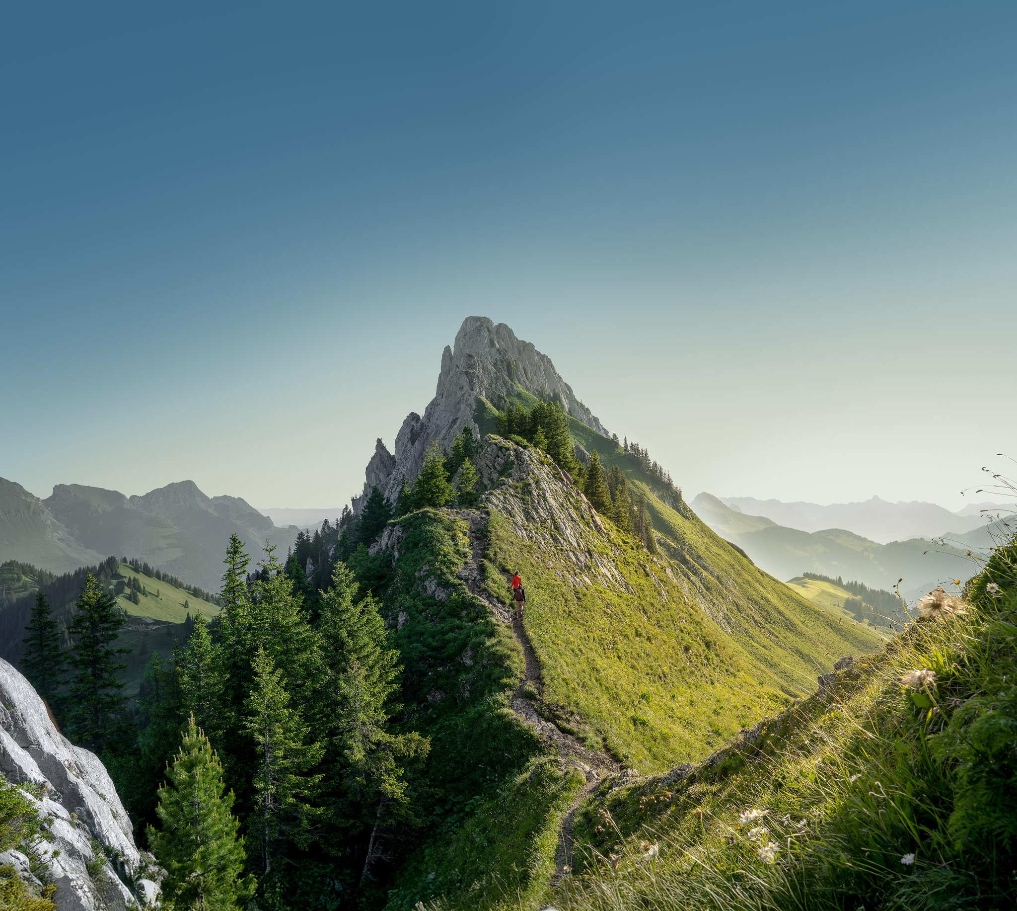
Zeit für mehr WANDERN – unsere 10 Highlights
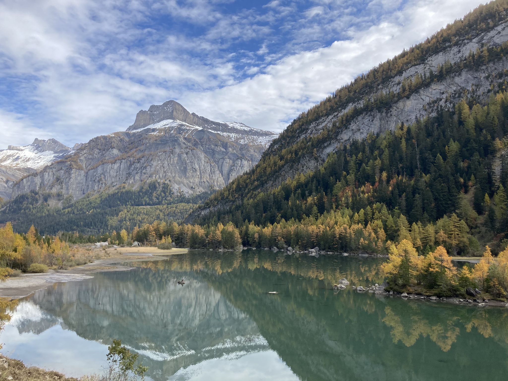
Mighty mountains and idyllic lakes – Sanetsch-Muveran-Weg hiking trail
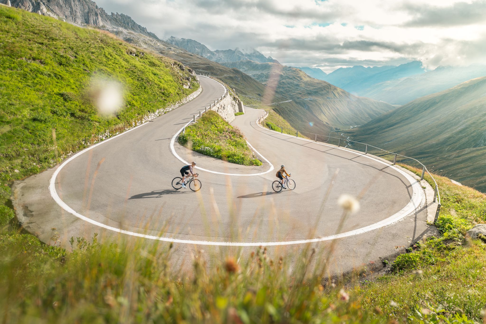
Asphaltglück und Gaumenfreude – Grand Gourmet Rides durch die Schweiz
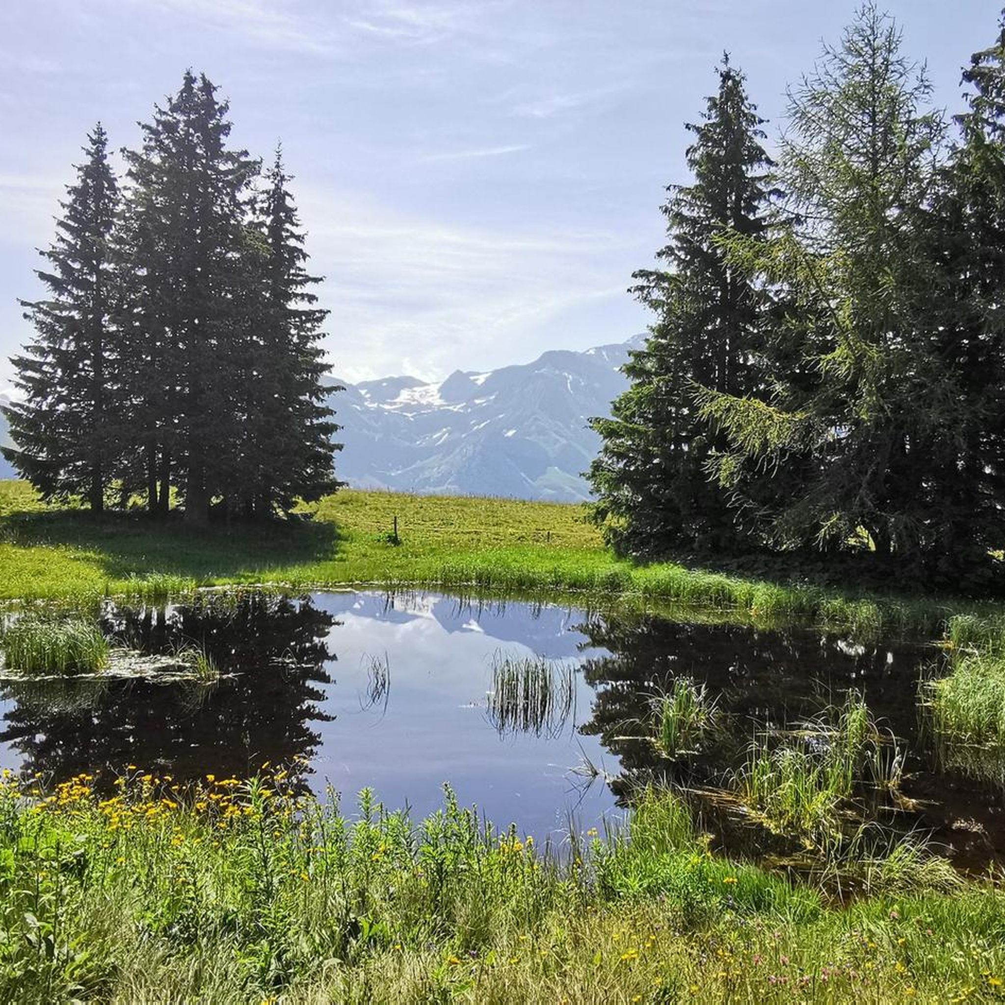
Hiking around Gsteig
Road Cycling Routes around Gsteig
MTB Trails around Gsteig
Cycling around Gsteig
Running Trails around Gsteig
Gravel biking around Gsteig
Other adventures around Gsteig


Tips from the Community

Superb climb from Sion, about 1800 m. 2 alternatives, but for gravel I recommend through the villages on the right bank of the Morge.
0
0

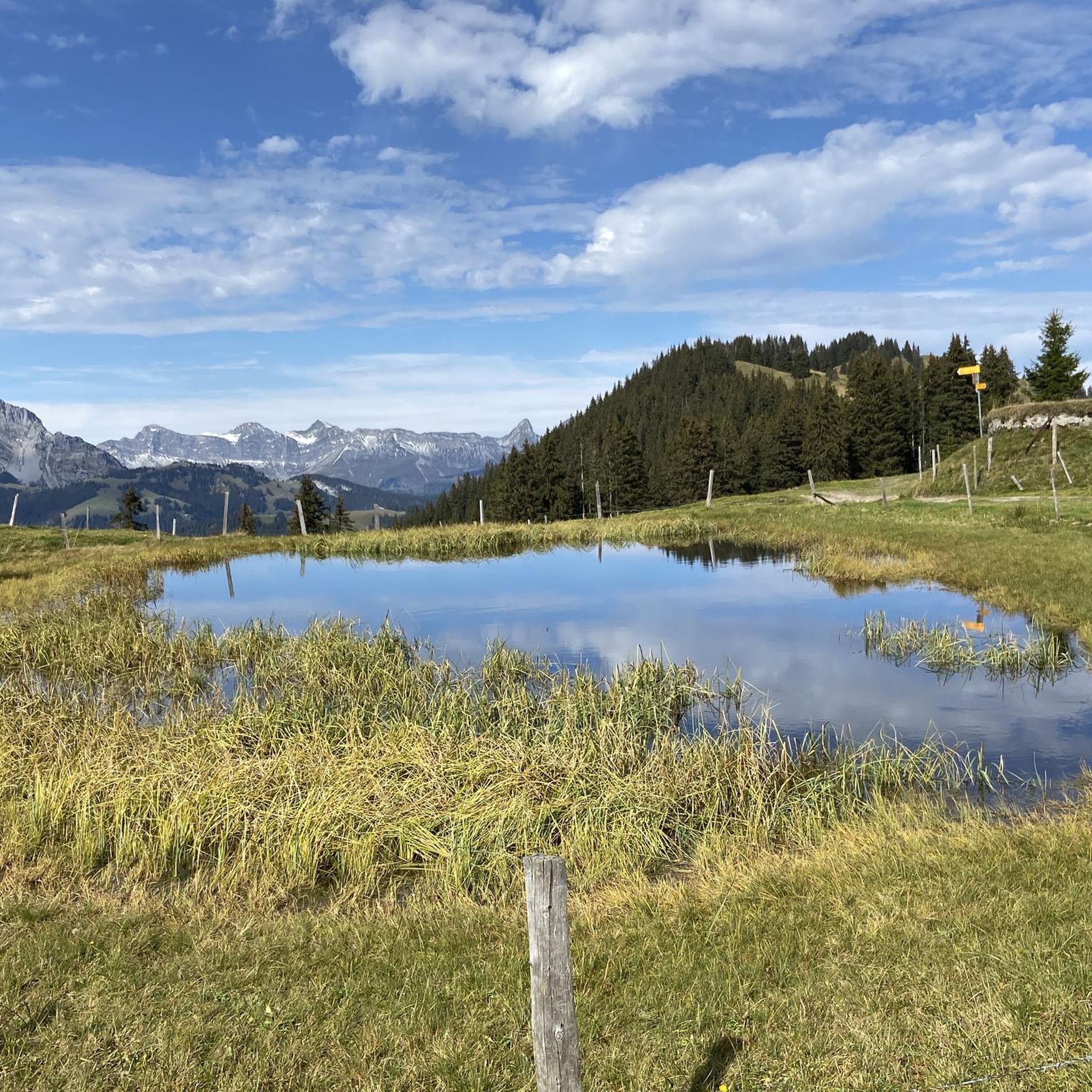
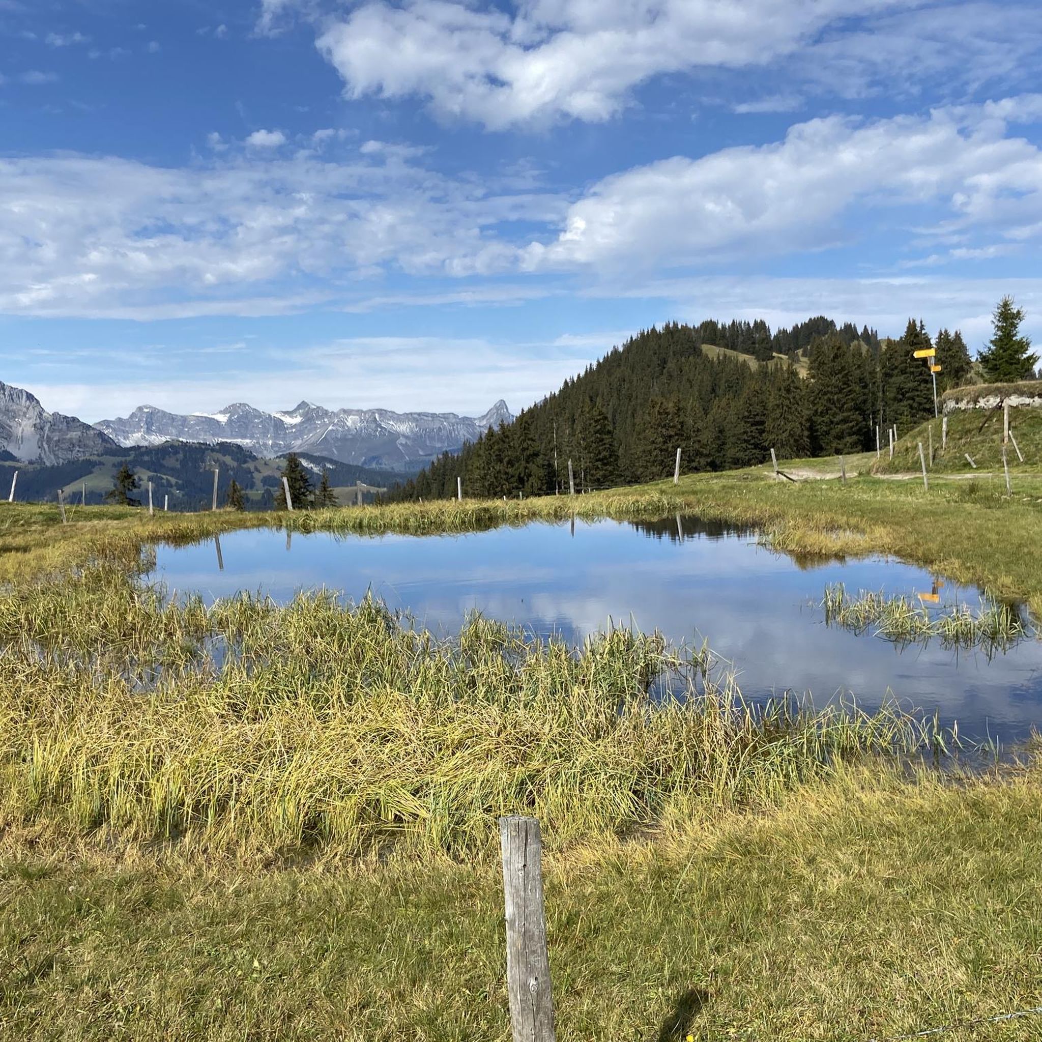
Lac de Bretaye is a peaceful high-altitude lake nestled at 1,800 meters in the Vaud Alps. Surrounded by meadows and gentle peaks, it's an ideal spot for a quiet break, a picnic, or simply admiring the scenery. Easily accessible from Villars-sur-Ollon on foot or by cogwheel train, it offers a beautiful interlude in the heart of the mountains.
0
0

The Wasserngrat is a striking vantage point above Gstaad, known for its breathtaking 360° views over the Saanenland, the Vaud Alps, the Wildstrubel, and far into Valais 🌄👀. A quiet ridge with an alpine character – ideal for hikers who want to venture off the beaten track. Its easy accessibility by cable car also makes it the perfect starting point for alpine tours (e.g., Wändliflueh, Lauenenhore, Giferspitz). Highlights: ✅ Pure panoramas in all directions ✅ Beautiful spot for sunrise or sunset 🌅 ✅ Introduction to exciting ridge hikes ✅ Wild, secluded, and rarely visited, away from the cable car station
0
0
The ridge path offers a secluded, panoramic high-altitude hike between Wasserngrat and Lauenenhore. The trail runs along a partly grassy, partly rocky ridge with magnificent views of the Saanenland, the Wildstrubel, the Wildhorn, and, on a clear day, even Mont Blanc. Characteristics: 🔸 Difficulty: T2, in places T3 🔸 Narrow, exposed, and partly unmarked 🔸 Only for sure-footed and experienced hikers with a head for heights Highlights: ✅ Spectacular views down towards Lauenen & Gstaad ✅ Wild, rarely used trail – truly peaceful mountain scenery ✅ Exciting crossing to Lauenenhore or further to Giferspitz possible Access: 🚠 Take the Wasserngrat cable car to the mountain station, then follow the ridge. Follow the trail Return via Matten–Lauenen or descent via alpine huts to Gstaad.
0
0
The hike from Lauenensee to the Geltenhütte SAC is a fantastic mountain hike with waterfalls, alpine scenery, and spectacular scenery ⛰️💧🌿. Route: Starts at the Lauenensee parking lot (CHF 15). The trail initially leads leisurely along the lake, then steadily ascends through the Gelten and Lauibach valleys. Impressive waterfalls and rock faces abound. You reach the Geltenhütte (2,002 m) after about 2.5 to 3 hours (approx. 620 m elevation gain). Highlights: ✅ Idyllic Lauenensee right at the start ✅ Wild waterfalls ✅ Quiet, well-marked mountain trail ✅ Refreshments & overnight stay at the Geltenhütte SAC 🛏️🍲 ✅ Possibility of extending the hike, e.g. B. to the Arpelistock Equipment: Sturdy hiking boots 🥾, weather protection 🧥, plenty of water & snacks 💧🥪, and possibly walking poles 🦯. In early summer, there may be patches of snow – surefootedness is required. Recommendation: Set off early in the morning ⏰, especially on warm days – the trail is exposed to the sun.
1
1

A light-filled sun terrace at the La Videmanette mountain restaurant and alpine views of the Gstaad Dolomites: everything your heart desires when you've reached this high altitude.
1
0

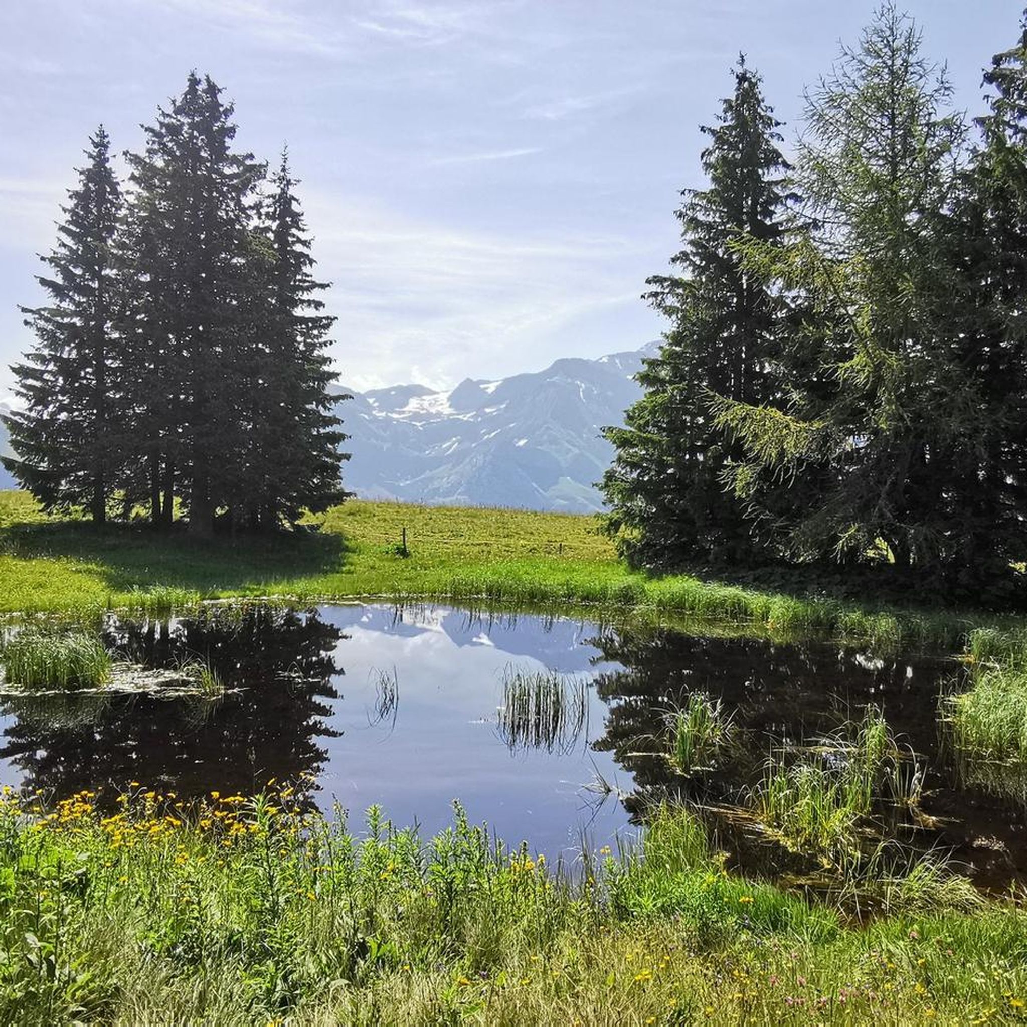
Visit Lac des Chavonnes for a quiet alpine getaway, where you’ll find a crystal-clear lake surrounded by dense forest and mountain peaks. Located approximately 1,690 meters above sea level, this hidden lake offers hiking trails that wind through pine trees and lead to breathtaking viewpoints. Keep an eye out for local wildlife, including marmots and alpine birds, which add to the lake’s serene, natural beauty.
3
0

Attention: The last 100 mUp from Sanetsch are T4
0
0
Frequently Asked Questions
How many mountaineering routes are available around Gsteig?
There are around 10 dedicated mountaineering routes in the Gsteig area, offering a mix of moderate and difficult challenges. These routes are highly rated by the komoot community, with an average score of 4.8 stars.
Are there any family-friendly mountaineering options near Gsteig?
While mountaineering routes are generally more challenging, some moderate trails might be suitable for families with older, experienced children. For a less strenuous but equally scenic experience, consider the area around Arnensee, which offers beautiful views and easier walks. Always check the specific route details for elevation gain and terrain before heading out with family.
Can I bring my dog on the mountaineering trails in Gsteig?
Many trails in the Gsteig region are dog-friendly, but it's crucial to keep your dog on a leash, especially in alpine pastures where livestock may be present, and to protect local wildlife. Always carry enough water for your dog and be mindful of challenging terrain. For example, the Geltenhütte SAC loop from Lauenensee offers varied terrain that can be enjoyed with a well-behaved, fit dog.
What are some notable natural landmarks or attractions to see along the routes?
The Gsteig region is rich in natural beauty. You can encounter stunning waterfalls like Geltenbach Waterfall or Ramaclé Waterfall. The area also features picturesque mountain lakes such as Lauenensee and Lac de Sanetsch. The imposing Diablerets Massif and Glacier 3000 are also prominent features, offering breathtaking panoramas.
Are there any circular mountaineering routes available?
Yes, several routes are designed as loops, allowing you to start and finish at the same point. A popular moderate circular route is the Buvette des Petits-Lacs loop from Col des Mosses. For a more challenging option, consider the Arpelistock Summit (3,035 m) loop from Col du Sanetsch, which offers incredible panoramic views.
What is the best time of year for mountaineering in Gsteig?
The best time for mountaineering in Gsteig is typically from late spring to early autumn (June to September) when the snow has largely melted from higher elevations and weather conditions are more stable. Always check local weather forecasts and trail conditions before heading out, as alpine weather can change rapidly.
Where can I find parking for the mountaineering trailheads?
Parking availability varies by trailhead. For routes starting from popular passes like Col des Mosses or Col du Sanetsch, designated parking areas are usually available. For trails around Lauenensee, there is often parking near the lake. It's advisable to research specific trailhead parking options before your trip, as some may have fees or limited spaces.
Is public transport accessible to the mountaineering trailheads?
Public transport, primarily post buses, serves many villages and some mountain passes in the region, including Gsteig and Lauenensee. This can provide access to various trailheads. For example, you can often reach the starting point for the Geltenhütte SAC loop from Lauenensee via public transport. Always check the local bus schedules in advance, especially for routes to higher alpine areas.
Are there any huts or accommodation options along the routes?
Yes, the region offers mountain huts that provide overnight stays and refreshments. The Geltenhütte SAC is a well-known mountain hut that serves as an excellent base or stopover for alpine hikes and tours, including the loop from Lauenensee. It's recommended to book in advance, especially during peak season.
What kind of difficulty levels can I expect on Gsteig's mountaineering routes?
Mountaineering routes around Gsteig range from moderate to difficult. Moderate routes, like the Buvette des Petits-Lacs loop from Col des Mosses, involve significant elevation gain and varied terrain but are generally well-defined. Difficult routes, such as La Motte – Refuge Giacomini loop from Solalex, feature challenging terrain, steep ascents, and require good physical condition and alpine experience.
What are some of the highest peaks accessible for mountaineering in the Gsteig area?
The region boasts several impressive peaks for mountaineers. The Arpelistock Summit (3,035 m) is a prominent peak offering a challenging ascent and a 360-degree panoramic view of the Bernese and Valais Alps. The Diablerets Massif, with access to Glacier 3000, also provides high-alpine experiences and views of numerous 4000-meter peaks.
Most popular attractions around Gsteig

Get inspired with the komoot mobile app


Explore more
Browse the best Mountain Hikes & Routes in other regions.
