The best mountain hikes around Udligenswil
5.0
(8)
128
hikers
8
hikes
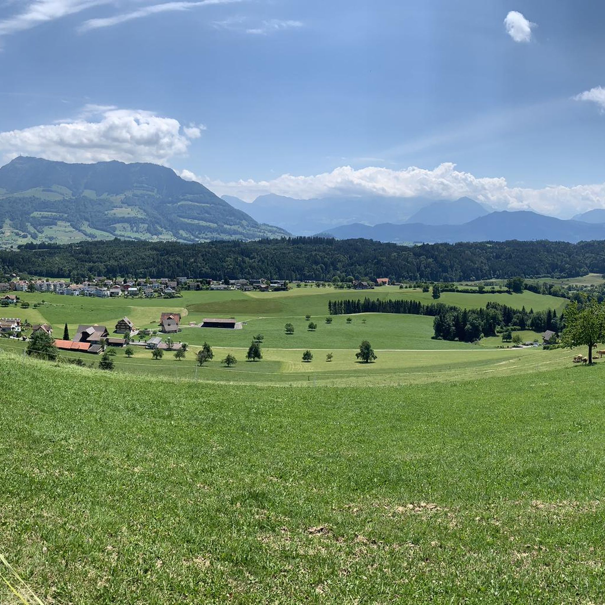
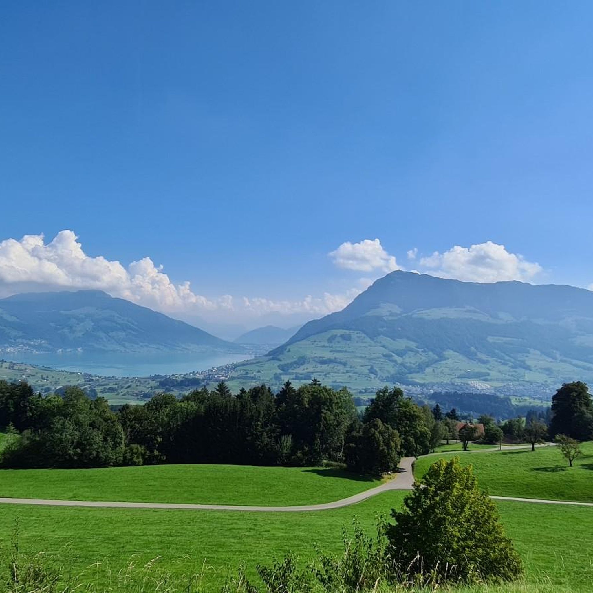
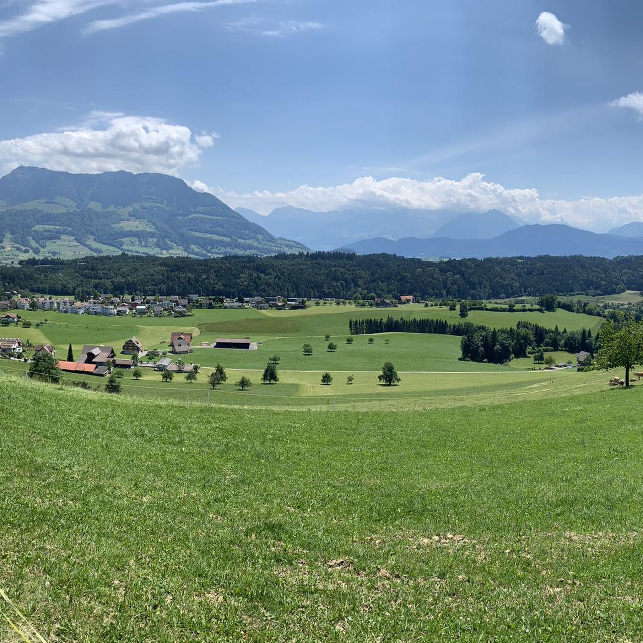
Mountaineering routes near Udligenswil offer access to the mountainous landscapes of Central Switzerland from a modest elevation of around 621 meters. The region is characterized by varied, hilly terrain with attractive fields and forest sections, providing a scenic backdrop for mountain ascents. Udligenswil is strategically located on the sunny terrace of the southern slope of the Rooterberg, offering views of surrounding peaks. This area serves as a gateway to iconic mountains like Rigi and Pilatus, providing challenging routes for experienced…
Last updated: October 9, 2026
5.0
(3)
67
hikers
9.24km
04:13
740m
740m
Moderate mountaineering route. Good fitness required. Mostly accessible paths. Sure-footedness required.
5.0
(3)
19
hikers
12.1km
03:56
390m
390m
Moderate mountaineering route. Good fitness required. Mostly accessible paths. Sure-footedness required.

5.0
(1)
15
hikers
11.0km
05:48
940m
940m
Hard mountaineering route. Very good fitness required. Sure-footedness, sturdy shoes and alpine experience required.
11
hikers
18.3km
07:40
1,340m
1,340m
Hard mountaineering route. Very good fitness required. Sure-footedness, sturdy shoes and alpine experience required.
5.0
(1)
9
hikers
18.3km
07:08
1,280m
1,280m
Hard mountaineering route. Very good fitness required. Sure-footedness, sturdy shoes and alpine experience required.
Get access to more routes and recommendations from other explorers.
Already have an account?
Our route recommendations are based on thousands of hikes, rides, and runs completed by other people on komoot.
Start today with a free account
Your next adventure awaits.

Tips from the Community


Steep and partly exposed, requires a good head for heights, sure-footedness and sturdy footwear
1
0
This trail is only for those who are not afraid of heights, have sure footing, and are equipped with good shoes. Very steep and partly exposed sections. There are a few scrambling sections, well secured with ropes and chains.
0
0
Beautiful 360° panorama with views of France, Germany and Liechtenstein
0
0

Great view, indoor and outdoor areas, efficient self-service, friendly owners, appealing selection of food, including vegan options.
0
0

A large stone from China, from the Chinese twin city there.
1
0


Frequently Asked Questions
How many mountaineering routes are available around Udligenswil?
There are 10 mountaineering routes around Udligenswil listed in this guide. These routes offer a range of experiences, from easier ascents to more challenging mountain paths.
What kind of terrain can I expect on mountaineering routes near Udligenswil?
The region around Udligenswil is characterized by varied, hilly terrain with attractive fields and forest sections. You can expect diverse mountain paths, leading through serene rural landscapes and offering access to prominent peaks like Mount Rigi and Mount Pilatus. Routes often feature significant elevation changes, requiring good fitness and sure-footedness.
Are there challenging mountaineering routes for experienced hikers?
Yes, Udligenswil serves as an excellent starting point for challenging mountain hikes. For example, the Rigi Kulm loop from Rigi is a difficult 8.5-mile route with over 800 meters of elevation gain, offering panoramic views from the summit of Mount Rigi. Another demanding option is the Rigi Kulm loop from Küssnacht am Rigi, which covers 18.1 miles with over 1300 meters of ascent.
Can I find any easier mountaineering routes suitable for beginners?
While many routes in the area are challenging, there is at least one easier mountaineering route available. These routes are generally less strenuous but still offer a taste of the region's beautiful mountain scenery. For a moderate option, consider the Dossen Summit – Rigi Scheidegg Viewpoint loop from Rigi Kaltbad-First, which is 7.6 miles long with about 388 meters of elevation gain.
What scenic viewpoints or natural features can I discover along the routes?
The routes near Udligenswil offer breathtaking views and natural attractions. You can enjoy expansive vistas over Lake Lucerne and the majestic Alps from viewpoints like Känzeli Viewpoint. Many routes lead to the summit of Mount Rigi, where you can experience the stunning View from the Rigi, encompassing Lake Zug and sometimes a 'sea of clouds.' The area also features idyllic natural settings, including forest sections and the serene Wagenmoos Pond.
Are there circular mountaineering routes available near Udligenswil?
Yes, several mountaineering routes around Udligenswil are circular, allowing you to start and end at the same point. Examples include the challenging Rigi Kulm loop from Rigi, the moderate Dossen Summit – Rigi Scheidegg Viewpoint loop from Rigi Kaltbad-First, and the demanding Rigi Kulm – Rigiweg Trail loop from Rigi.
Is Udligenswil a good starting point for family-friendly mountaineering?
While many mountaineering routes in the Udligenswil area are challenging and require good fitness, there are also easier trails in the broader region suitable for families. For a more relaxed experience, consider the easy loop trail around Wagenmoos Pond, which includes barbecue facilities. When planning with family, always check the specific route's difficulty and duration.
Are dogs allowed on the mountaineering trails around Udligenswil?
Generally, dogs are welcome on hiking trails in Switzerland, including those around Udligenswil. However, it's always advisable to keep dogs on a leash, especially in agricultural areas, near livestock, or in nature reserves. Be mindful of local regulations and ensure your dog is well-behaved and capable of handling the terrain and duration of the chosen mountaineering route.
What is the best time of year to go mountaineering in this region?
The best time for mountaineering around Udligenswil is typically from late spring to early autumn (May to October), when the weather is generally stable, and trails are clear of snow. Summer offers warmer temperatures and longer daylight hours. For stunning views, especially at sunrise, consider an early morning ascent of Mount Rigi. Always check local weather forecasts and trail conditions before heading out, as conditions can change rapidly in the mountains.
How can I access the mountaineering routes near Udligenswil using public transport?
Udligenswil is well-connected to the public transport network, making it accessible for mountaineers. You can reach Udligenswil by bus from Lucerne. For routes leading to Mount Rigi, you can often use the Arth-Rigi railway or other mountain transport options from nearby towns like Weggis or Vitznau, which are reachable by boat or bus from Lucerne. Check local transport schedules for the most convenient connections to your chosen trailhead.
Are there places to eat or stay near the mountaineering routes?
Yes, there are several options for refreshments and accommodation near the mountaineering routes. You can find mountain huts and restaurants such as Räb Alpine Inn, Alp Ruodisegg, and Restaurant Pfaffenboden, which are popular stops for hikers. Udligenswil itself and nearby towns offer various accommodation choices.
What do other mountaineers appreciate most about the routes around Udligenswil?
The mountaineering routes around Udligenswil are highly rated by the komoot community, with an average score of 5.0 stars. Reviewers often praise the stunning panoramic views, especially from Mount Rigi, the diverse terrain that includes both forest and open fields, and the well-maintained paths. The accessibility to iconic peaks from a relatively modest starting point is also frequently highlighted.
Most popular routes around Udligenswil
Most popular attractions around Udligenswil

Get inspired with the komoot mobile app


Explore more
Browse the best Mountain Hikes & Routes in other regions.
