The best mountain hikes around Schüpfheim
4.7
(16)
122
hikers
17
hikes
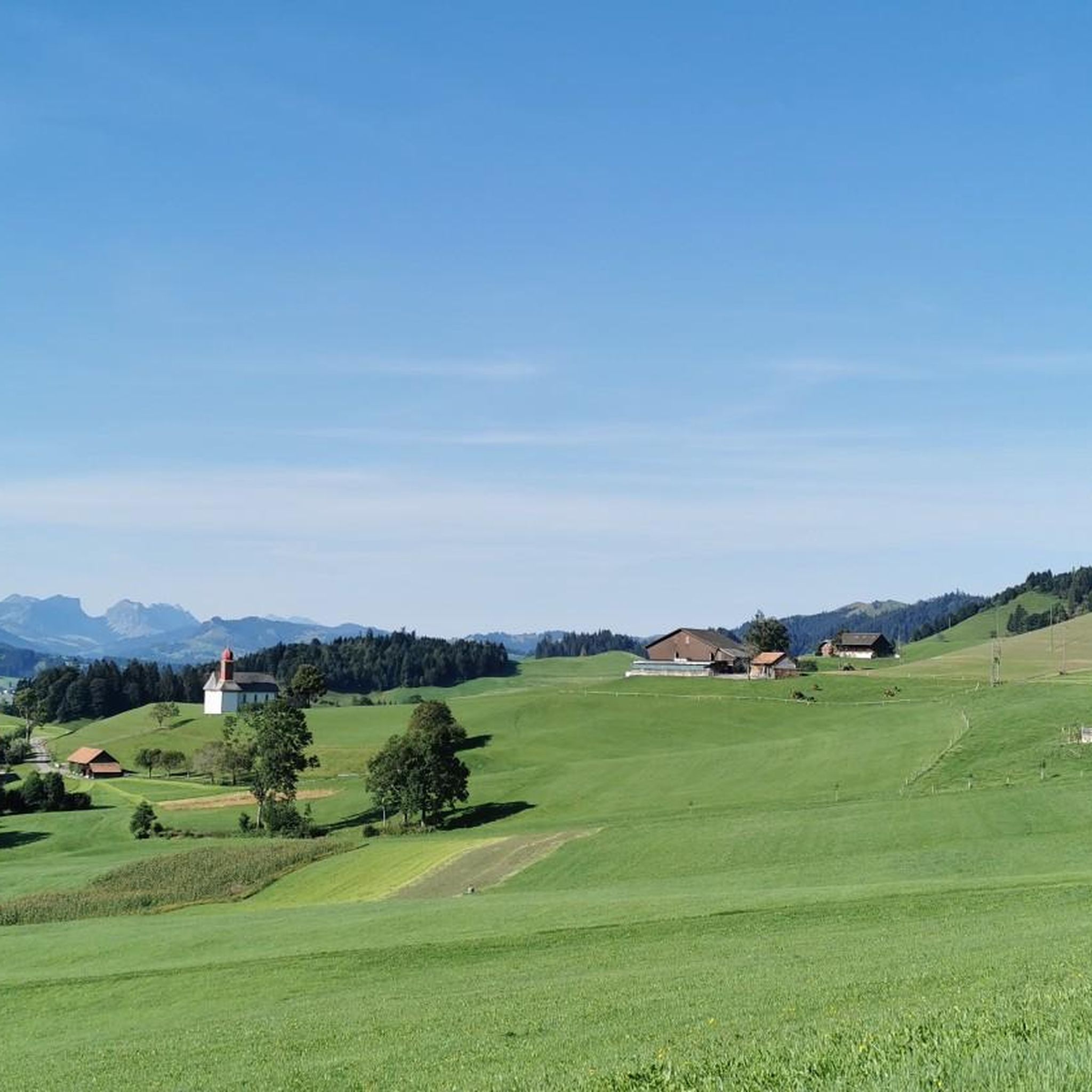
Mountaineering around Schüpfheim is characterized by its diverse terrain within the Entlebuch region, offering a mix of challenging peaks and scenic mountain passes. The landscape features significant elevation changes, with routes traversing forested areas, open moorlands, and leading to prominent summits. This area provides varied conditions for mountaineers, from moderate ascents to more demanding climbs.
Best mountaineering routes around Schüpfheim
- The most popular mountaineering route is Sewenseeli 1689m – Rickhubel loop from Glaubenbergpass, a 5.7 miles (9.1 km) trail…
Last updated: October 9, 2026
5.0
(5)
33
hikers
9.14km
03:45
540m
540m
Moderate mountaineering route. Good fitness required. Mostly accessible paths. Sure-footedness required.
5.0
(1)
15
hikers
7.52km
03:49
650m
650m
Hard mountaineering route. Good fitness required. Sure-footedness, sturdy shoes and alpine experience required.

10
hikers
12.5km
03:59
500m
500m
Moderate mountaineering route. Good fitness required. Mostly accessible paths. Sure-footedness required.
5.0
(2)
11
hikers
12.8km
05:24
800m
790m
Hard mountaineering route. Very good fitness required. Sure-footedness, sturdy shoes and alpine experience required.
6
hikers
Moderate mountaineering route. Good fitness required. Easily-accessible paths. Suitable for all skill levels.
Get access to more routes and recommendations from other explorers.
Already have an account?
Our route recommendations are based on thousands of hikes, rides, and runs completed by other people on komoot.
Start today with a free account
Your next adventure awaits.
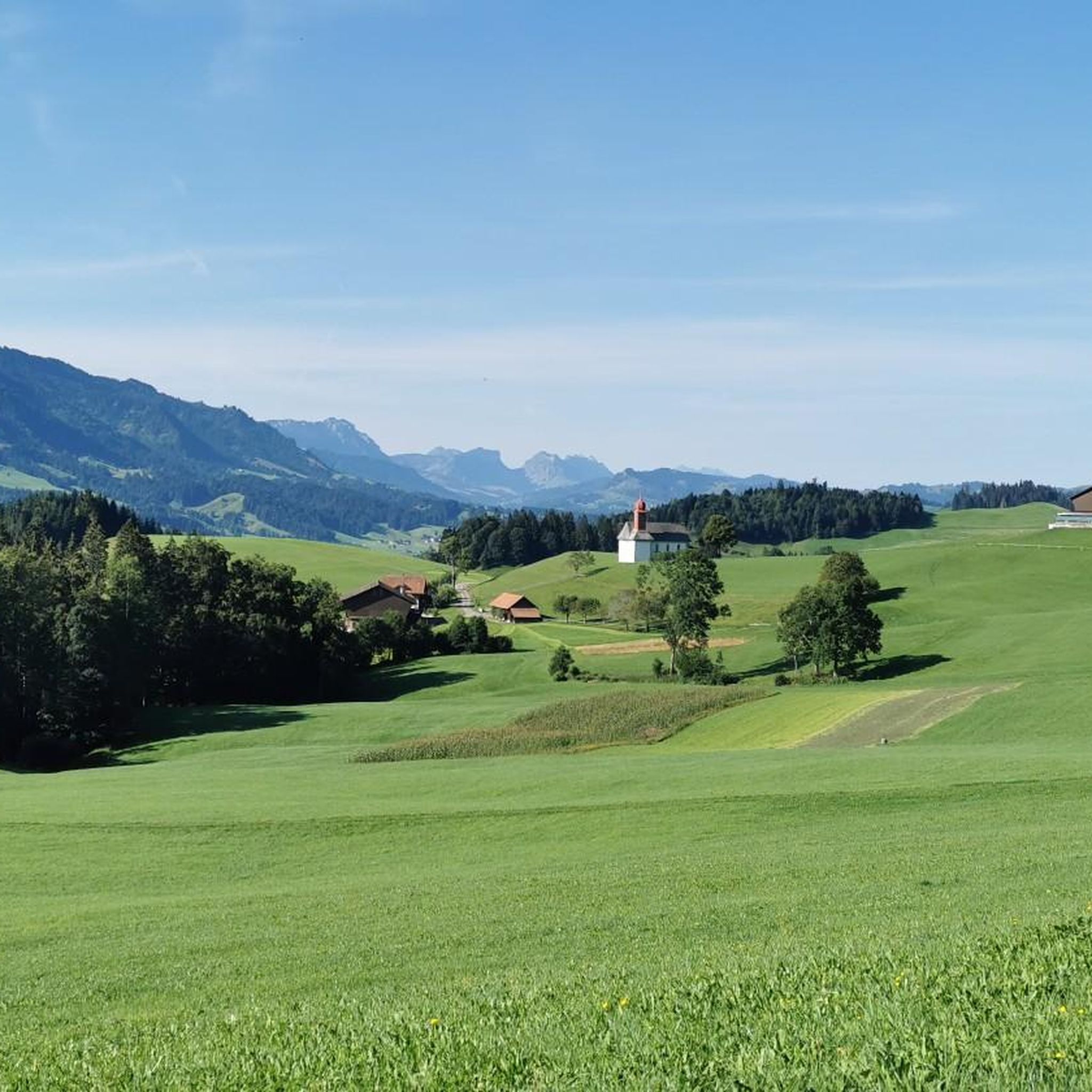
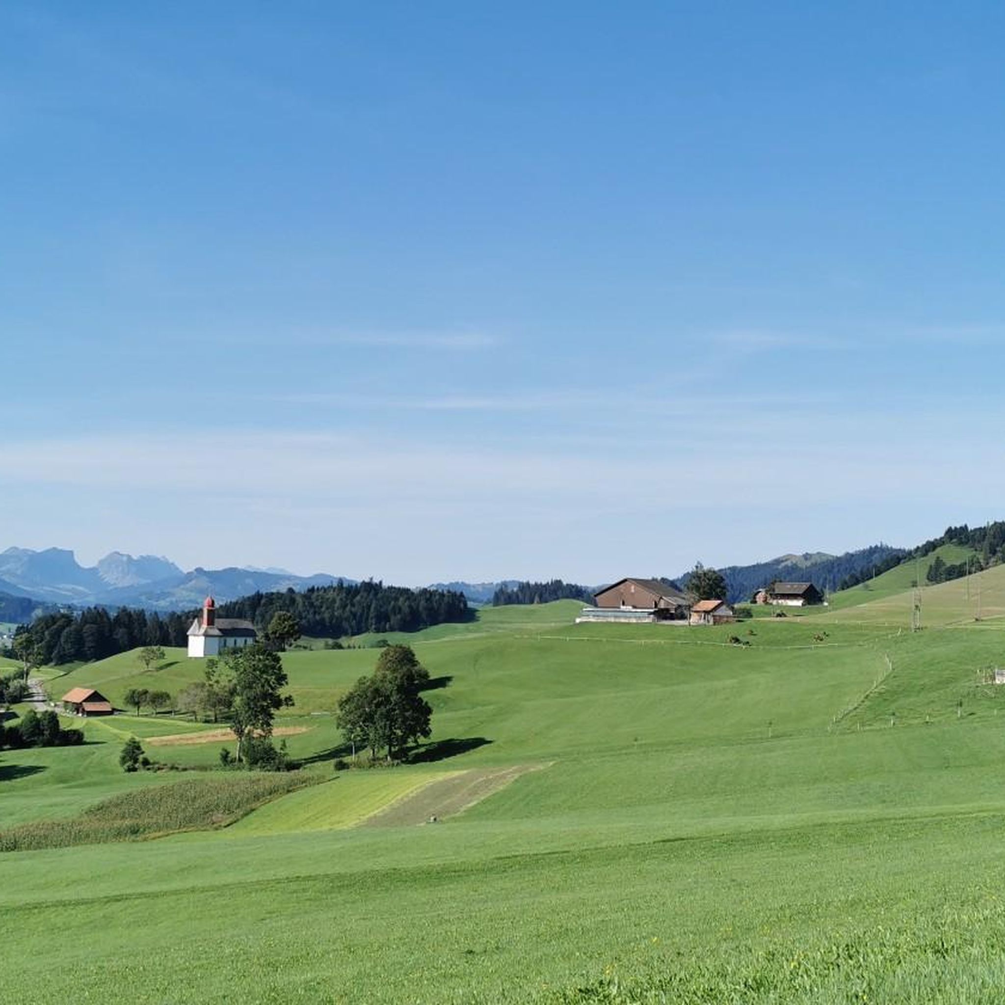
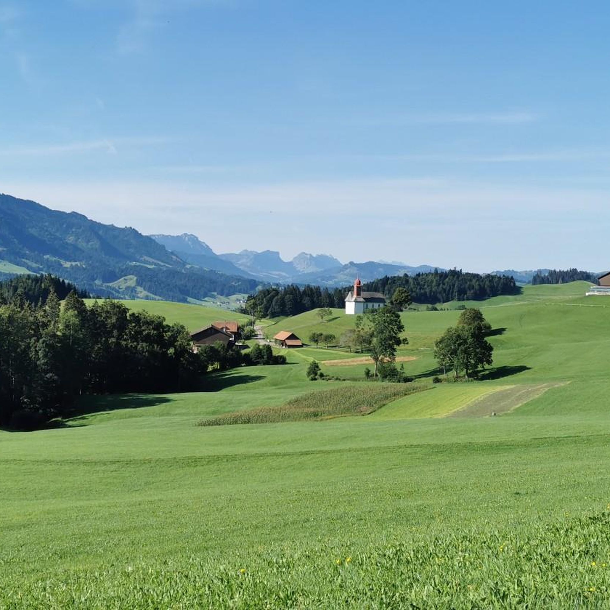
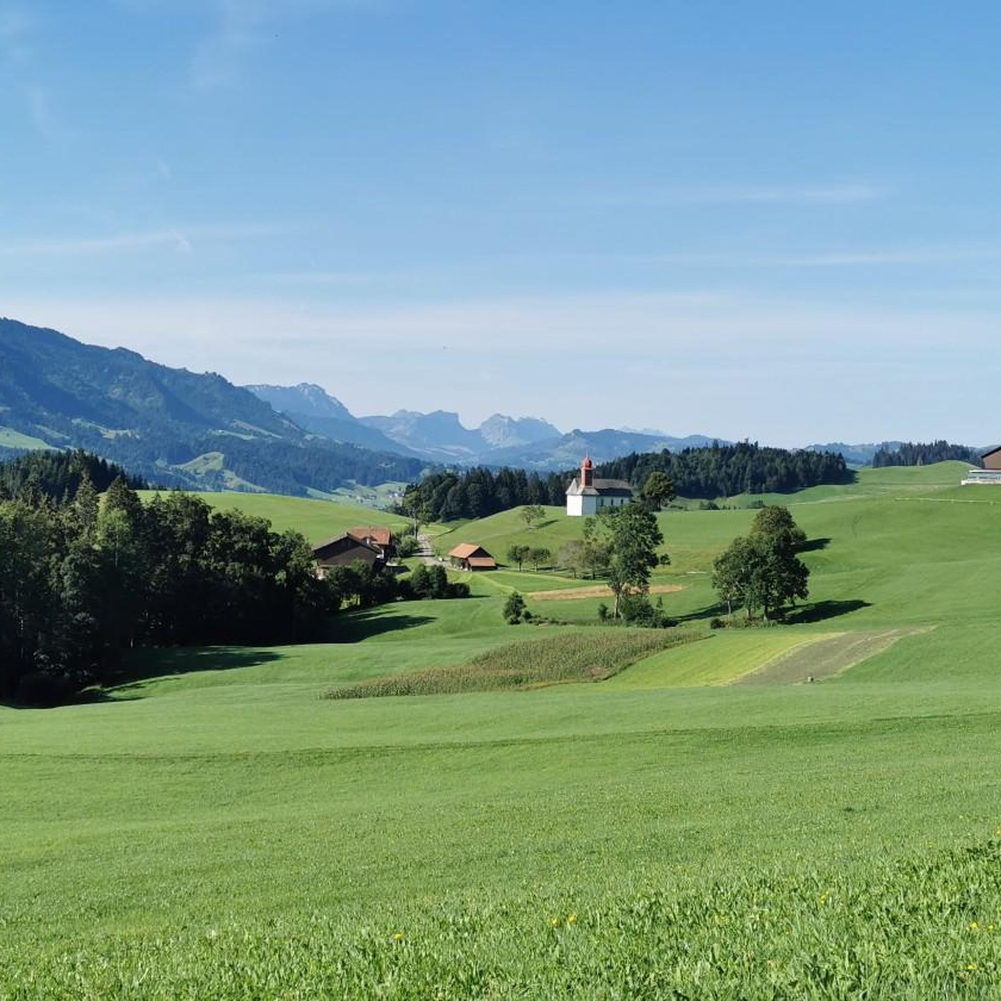

Tips from the Community


good place for a break
0
0
Frequently Asked Questions
How many mountaineering routes are available around Schüpfheim?
The Schüpfheim area offers a wide variety of mountaineering experiences, with over 20 routes documented on komoot. These routes cater to different skill levels, from moderate ascents to more demanding climbs.
Are there any mountaineering routes suitable for beginners or those looking for a moderate challenge?
Yes, about half of the mountaineering routes in Schüpfheim are rated as moderate. A good option to consider is the Sewenseeli 1689m – Rickhubel loop from Glaubenbergpass, which is 5.7 miles (9.1 km) long and offers scenic views of Sewenseeli lake.
What are the most challenging mountaineering routes in the Schüpfheim region?
For experienced mountaineers seeking a challenge, approximately half of the routes are rated as difficult. One such demanding route is the Hengst Peak near Schimbrig loop from Schimbrig, a 4.8-mile (7.7 km) path involving significant ascent to Hengst Peak with expansive mountain vistas.
Are there any circular mountaineering routes around Schüpfheim?
Many of the mountaineering routes in Schüpfheim are designed as loops, allowing you to start and end at the same point. An example is the Schwendi-Kaltbad – Glaubenberg Moorland loop from Glaubenbergpass, which is 7.8 miles (12.5 km) long and takes you through moorland and mountain pass terrain.
Which mountaineering routes offer the longest distances in the area?
If you're looking for a longer mountaineering experience, consider the Hengst Peak near Schimbrig loop from Gfellen. This challenging route spans 8 miles (12.9 km) and involves substantial elevation gain, offering a full day out in the mountains.
What kind of natural attractions or landmarks can I expect to see along the mountaineering routes?
The region is rich in natural beauty and notable landmarks. Along your routes, you might encounter impressive summits like Fürstein Summit or Haglere Summit. There are also charming mountain huts such as Tripolihütte and the Stächelegg Mountain Inn, perfect for a break.
Are there any waterfalls near the mountaineering routes in Schüpfheim?
Yes, the area around Schüpfheim features several beautiful waterfalls. You can find highlights like the Chessiloch Waterfall and the Sulzigbach-Tobel Waterfall, which can be explored as part of or near your mountaineering adventures.
What do other mountaineers say about the routes in Schüpfheim?
The mountaineering routes in Schüpfheim are highly regarded by the komoot community, boasting an average rating of 4.7 stars from over 10 reviews. Users often praise the diverse terrain, from challenging peaks to scenic moorlands, and the well-maintained paths that offer varied conditions for all levels.
When is the best time of year for mountaineering in Schüpfheim?
The prime season for mountaineering in Schüpfheim typically runs from late spring through early autumn (May to October), when trails are generally clear of snow and weather conditions are most stable. Always check local weather forecasts and trail conditions before heading out, especially in shoulder seasons.
Are there any less-known or 'hidden gem' mountaineering routes in the area?
While many routes are popular, exploring trails slightly off the main paths can reveal hidden gems. The Hapfigchnubel loop from Napf is a moderate 4.4-mile (7 km) route that offers a rewarding experience away from the busiest spots, providing beautiful views and a sense of tranquility.
Are permits required for mountaineering in the Schüpfheim region?
Generally, no specific permits are required for mountaineering on public trails in the Schüpfheim region. However, it's always advisable to respect local regulations, especially concerning nature reserves or private land, and to stay on marked paths.
Most popular routes around Schüpfheim
Most popular attractions around Schüpfheim

Get inspired with the komoot mobile app


Explore more
Browse the best Mountain Hikes & Routes in other regions.
