The best running trails around Le Mas-D'Azil
4.2
(23)
436
runners
55
runs
Jogging routes around Le Mas-d'Azil are set within the Pyrénées Ariégeoises Natural Park, offering diverse terrain for running. The region features green hills, the Arize River, and the picturesque Lac de Filleit, providing varied backdrops for outdoor activity. The landscape includes both gentle paths along riverbanks and more challenging routes through rolling hills. This area is characterized by its natural features, including forests and open countryside, suitable for different running preferences.
Best jogging routes around Le Mas-d'Azil
- The most popular…
Last updated: July 4, 2026
3.0
(1)
46
runners
8.59km
01:06
260m
260m
Moderate run. Good fitness required. Mostly paved surfaces. Suitable for all skill levels.
5.0
(2)
19
runners
16.0km
02:09
420m
420m
Hard run. Very good fitness required. Sure-footedness, sturdy shoes and alpine experience required.

Sign up for free
5.0
(2)
15
runners
14.1km
01:50
300m
300m
Hard run. Good fitness required. Sure-footedness, sturdy shoes and alpine experience required.
5.0
(1)
11
runners
7.39km
00:52
60m
70m
Moderate run. Good fitness required. Mostly paved surfaces. Suitable for all skill levels.
6
runners
12.5km
01:25
180m
180m
Moderate run. Good fitness required. Mostly paved surfaces. Suitable for all skill levels.
Get access to more routes and recommendations from other explorers.
Sign up for free
Already have an account?
Our route recommendations are based on thousands of hikes, rides, and runs completed by other people on komoot.
Start today with a free account
Your next adventure awaits.
Login or Signup



Tips from the Community

Nice walk, watch out for aggressive donkey running loose :/
0
0

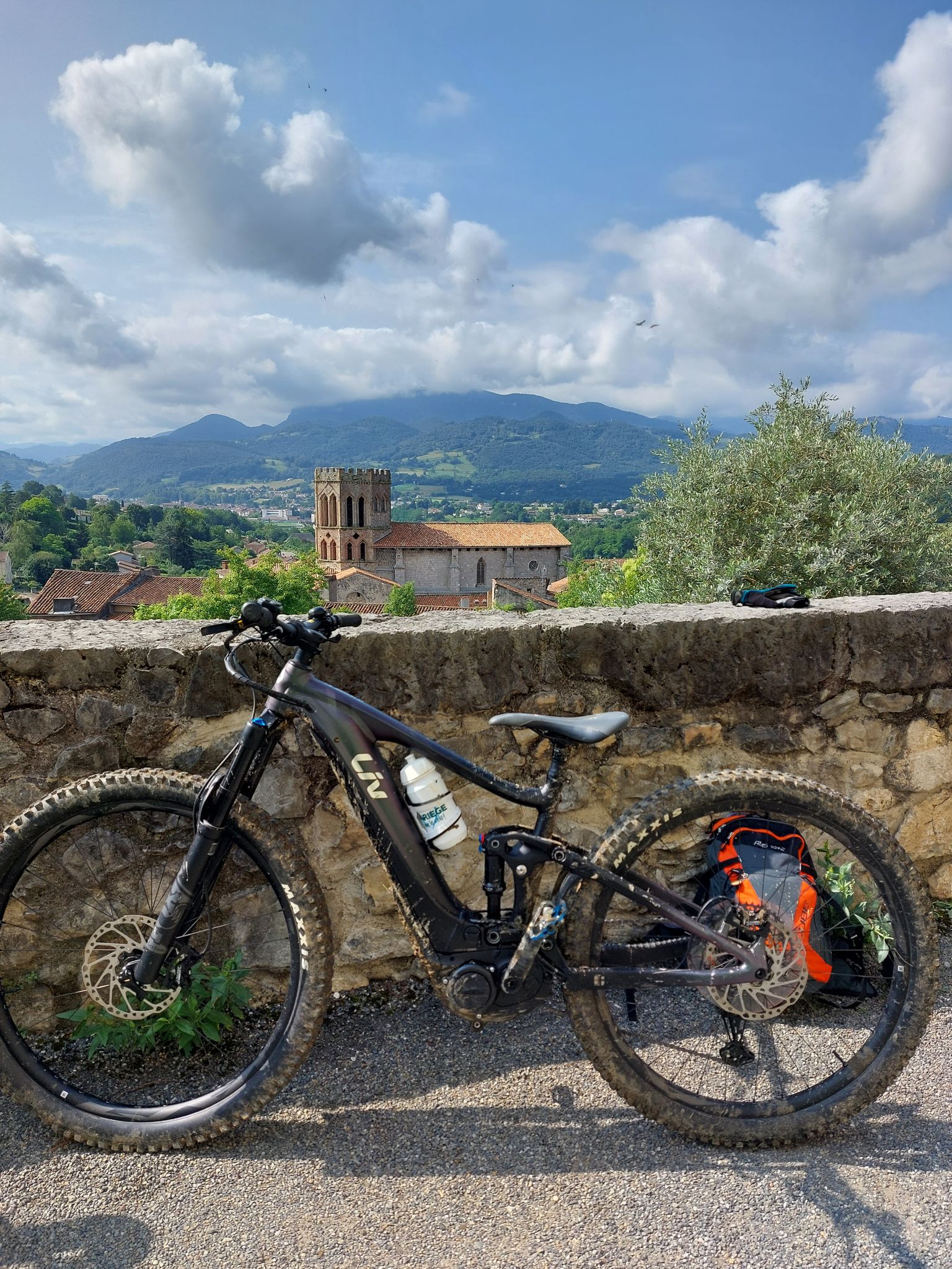
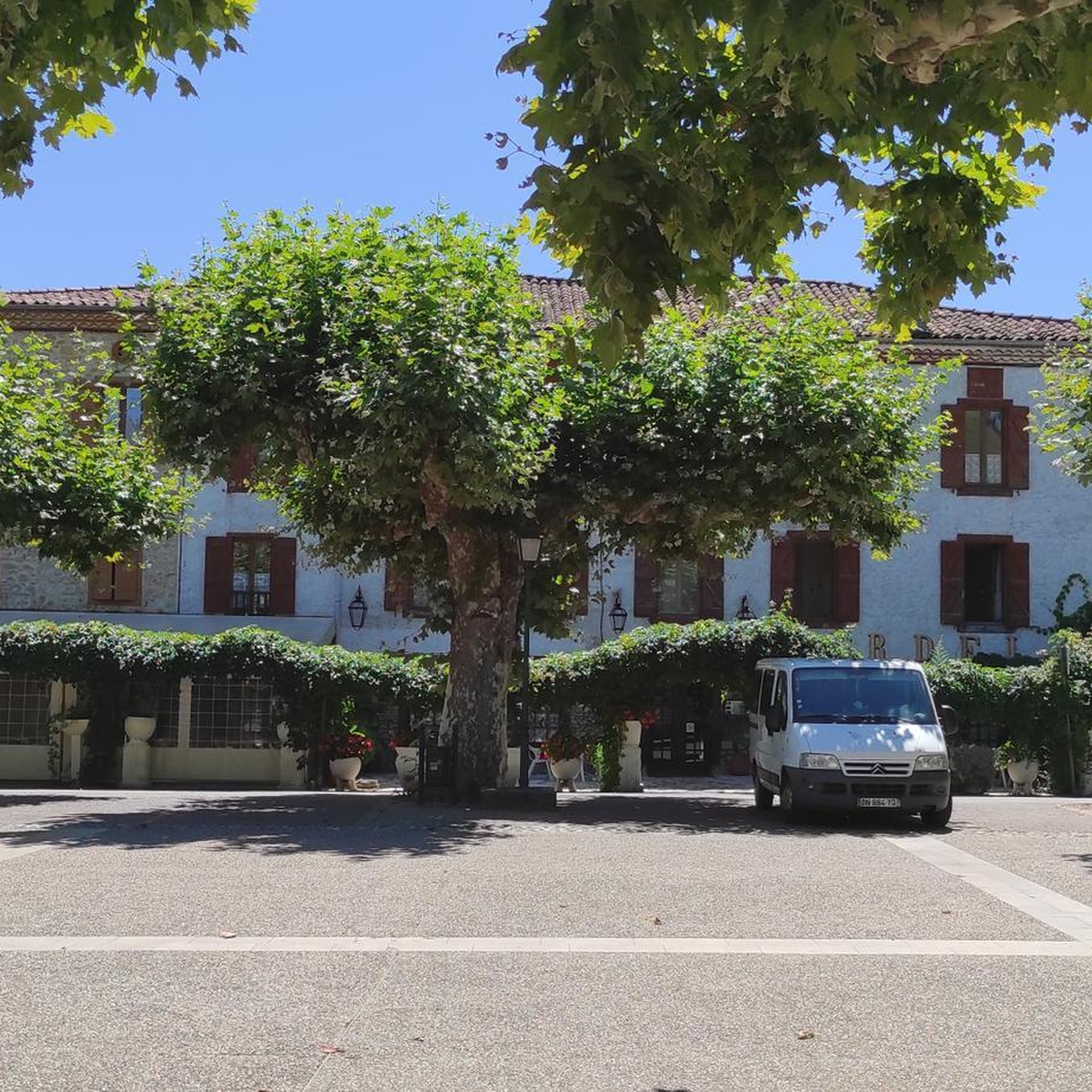
Beautiful little village near the cave!
0
0

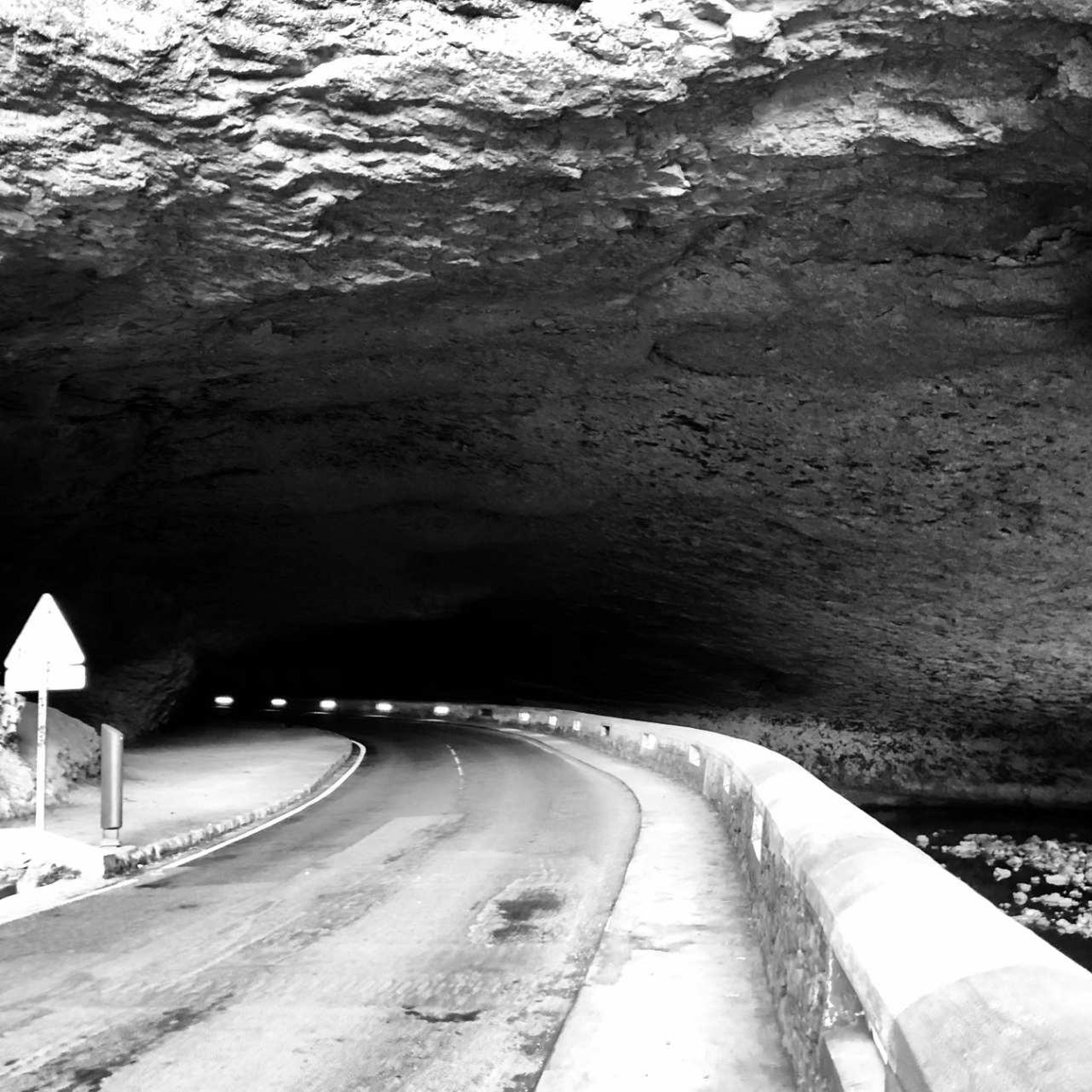
Mas-d'Azil is famous for its prehistoric cave, a major site of European archaeology. The village also attracts with its church and its picturesque streets.
0
0

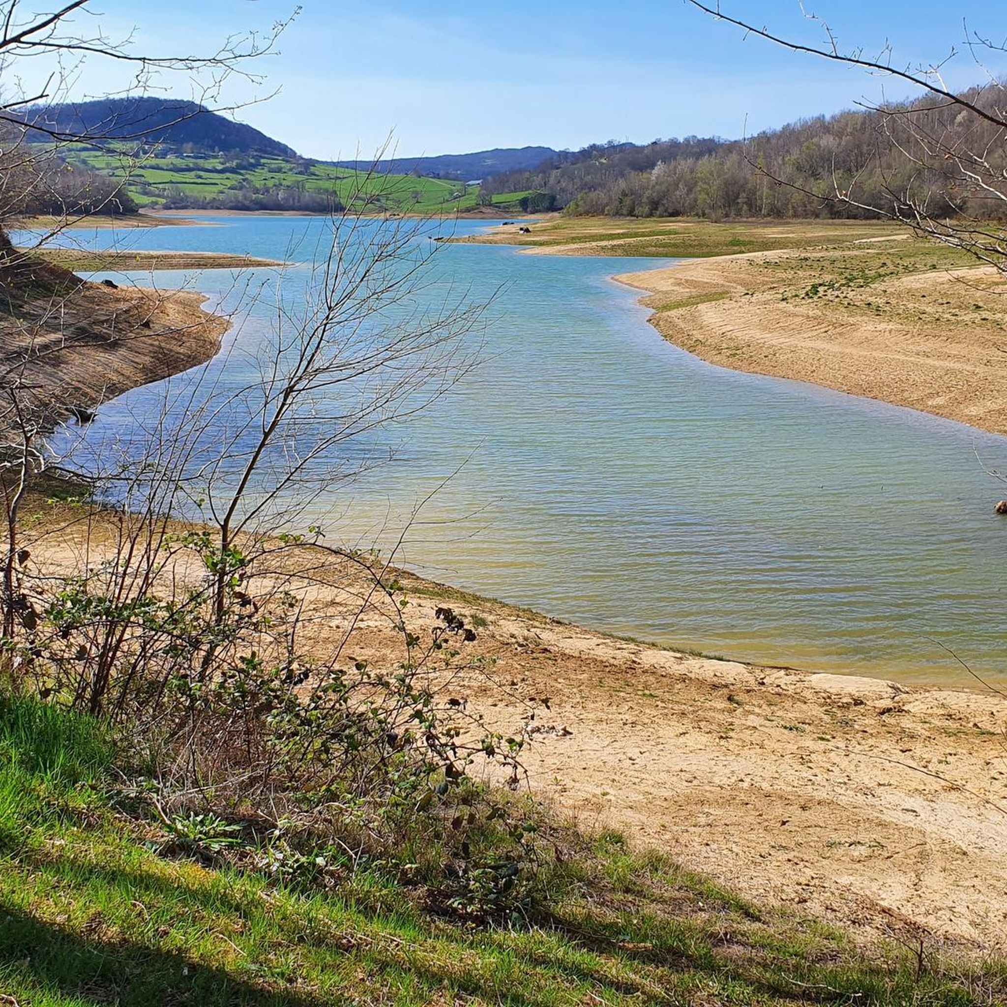
Although the lake is closed to swimming, it is a great place to observe many species of birds. It is also possible to go all around it following a path that immerses you in a calm and relaxing environment.
0
0
Although the lake is closed to swimming, it is a great place to observe many species of birds. It is also possible to go all around it following a path that immerses you in a calm and relaxing environment.
1
0

The lake is prohibited for swimming. The tour of the lake is not really worth it: the path is quite far from the lake, you can't see much. Many insects and muddy ground in places.
1
0

good fishing spot 🎣 (according to locals)
0
0
Frequently Asked Questions
How many running routes are available around Le Mas-d'Azil?
There are over 50 running routes documented on komoot for the Le Mas-d'Azil area. These routes vary in difficulty, offering options for all fitness levels, from easy strolls to challenging runs through the Pyrénées Ariégeoises Natural Park.
Are there any easy or beginner-friendly jogging trails in Le Mas-d'Azil?
Yes, Le Mas-d'Azil offers several easy running routes suitable for beginners or those looking for a relaxed jog. There are 3 routes specifically rated as easy, and many of the 37 moderate routes can also be enjoyed at a comfortable pace. Look for paths along the Arize River or around Lac de Filleit for gentler terrain.
What kind of scenery can I expect on the running routes?
The running routes in Le Mas-d'Azil offer diverse and picturesque scenery. You'll encounter green hills, the tranquil Arize River, and the stunning landscapes of the Pyrénées Ariégeoises Natural Park. Many routes also feature views of the picturesque Lac de Mondély or the charming Grotte du Mas-d'Azil, a unique cave where a road and river pass through.
Are there any circular running loops available?
Yes, many of the running routes around Le Mas-d'Azil are designed as circular loops, allowing you to start and finish at the same point. For example, the Lake Filheit – Lake Filheit loop from Temple offers a moderate 7.4 km run with lakeside views, and the Running loop from Durban-sur-Arize is a popular 8.6 km option.
Can I run with my dog on the trails in Le Mas-d'Azil?
Generally, the natural trails and paths in the Pyrénées Ariégeoises Natural Park are dog-friendly. However, it's always recommended to keep your dog on a leash, especially in protected areas, near livestock, or on popular routes. Always carry water for your pet and clean up after them to preserve the natural environment.
Are there any running routes suitable for families with children?
For families, consider the easier and shorter routes, particularly those with minimal elevation gain. Paths along the Arize River or the Lake Filheit – Le Mas-d'Azil loop from Le Mas-d'Azil (12.5 km, moderate) offer pleasant, relatively flat terrain. The V81 Greenway, an old railway line, is also an excellent option due to its low slope and shaded sections, making it comfortable for all ages.
What do other runners say about the trails in Le Mas-d'Azil?
The running routes in Le Mas-d'Azil are highly regarded by the komoot community, boasting an average rating of 4.3 stars from over 20 reviews. Runners often praise the diverse terrain, the natural beauty of the Pyrénées Ariégeoises Natural Park, and the well-maintained paths that cater to various skill levels.
Are there any historical or cultural points of interest along the running paths?
Yes, some routes incorporate historical elements. For instance, the Dolmen de Brillaud – Dolmen du Cap del Pouech loop from Camarade takes you past ancient dolmens, offering a glimpse into the region's past. The famous Grotte du Mas-d'Azil itself is a significant historical and geological marvel.
What is the best season for running in Le Mas-d'Azil?
Spring and autumn are generally ideal for running in Le Mas-d'Azil, with pleasant temperatures and vibrant natural colors. Summer can be warm, so early morning or late afternoon runs are recommended. Winter offers a different charm, though some higher elevation trails might be more challenging due to weather conditions.
Are there any unique running experiences in the area?
Absolutely! The V81 Greenway, a 44-kilometer path built on an old railway line, offers a unique running experience, including shaded sections and tunnels lit by motion detectors. Another distinctive feature is running near or around the Grotte du Mas-d'Azil, where you can witness the Arize River flowing directly through the monumental cave.
How long do the running routes typically take to complete?
The duration of running routes varies significantly based on distance and difficulty. Shorter, easier loops might take around an hour, such as the Running loop from Durban-sur-Arize (8.6 km, 1h 6m). More challenging and longer routes, like the Le Mas-d'Azil – The Arize loop from Le Mas-d'Azil (16 km), can take over 2 hours.
Is there public transport access to the running trails?
While specific public transport links directly to every trailhead might be limited, the region is generally accessible. The V81 Greenway, for example, follows an old railway line, suggesting potential access points. For detailed information on public transport to specific starting points, it's advisable to check local transport schedules or consider driving to trailheads.
Most popular routes around Le Mas-D'Azil
Most popular attractions around Le Mas-D'Azil

Get inspired with the komoot mobile app


Explore more
Browse the best Running Trails & Routes in other regions.
