The best walks and hikes around Saint-Cyr-Le-Gravelais
4.7
(77)
465
hikers
25
hikes
Hiking around Saint-Cyr-Le-Gravelais offers access to the diverse natural landscapes of the Mayenne department. The region is characterized by forests, valleys, lakes, and rivers, providing an extensive network of trails. Elevation gains are generally moderate, with most routes featuring rolling terrain rather than steep ascents.
Best hiking trails around Saint-Cyr-Le-Gravelais
- The most popular hiking route is Bois des Gravelles — loop from Port-Brillet, a 7.8 miles (12.6 km) trail that takes 3 hours 22 minutes to complete. This moderate…
Last updated: July 4, 2026
3.9
(14)
26
hikers
12.6km
03:22
140m
140m
Moderate hike. Good fitness required. Mostly accessible paths. Sure-footedness required.
5.0
(2)
14
hikers
11.9km
03:10
130m
130m
Moderate hike. Good fitness required. Easily-accessible paths. Suitable for all skill levels.

Sign up for free
5.0
(3)
15
hikers
9.12km
02:25
90m
90m
Moderate hike. Good fitness required. Easily-accessible paths. Suitable for all skill levels.
3.0
(1)
7
hikers
9.25km
02:28
100m
100m
Moderate hike. Good fitness required. Easily-accessible paths. Suitable for all skill levels.
4.5
(2)
8
hikers
5.15km
01:20
30m
30m
Easy hike. Great for any fitness level. Easily-accessible paths. Suitable for all skill levels.
Get access to more routes and recommendations from other explorers.
Sign up for free
Already have an account?
Our route recommendations are based on thousands of hikes, rides, and runs completed by other people on komoot.
Start today with a free account
Your next adventure awaits.
Login or Signup


Tips from the Community

Small cozy village with a nice parking spot on the edge of the village👍😜
0
0

The Gravelles forest massif is a diverse environment with different ponds that may be of interest to hikers.
2
0

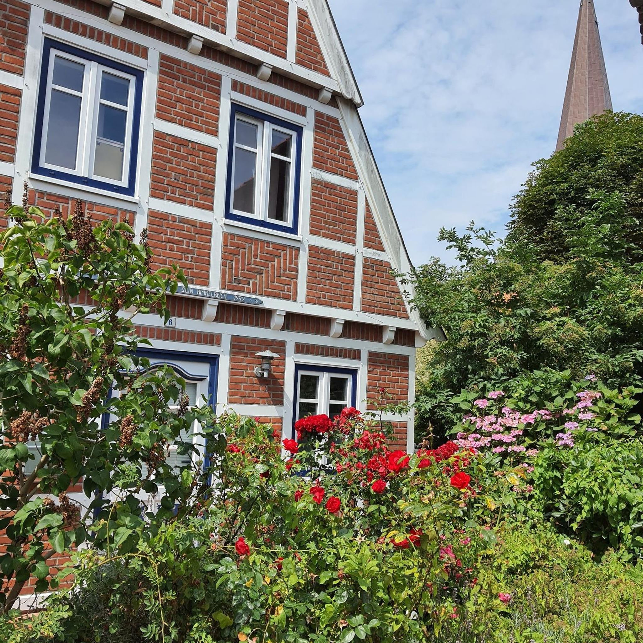
The architecture of its buildings, its town planning, the names of the streets, give the city a blacksmith character inherited from its economic past.
0
0

nice park for picnics and small beach
0
0

Belair Castle Park, Pertre, open daily from June 1st to September 30th from 10am to 12pm and from 2pm to 6pm. Free tour. Discovery of the chapel by appointment.
1
0
Frequently Asked Questions
How many hiking trails are available around Saint-Cyr-Le-Gravelais?
There are over 20 hiking routes available around Saint-Cyr-Le-Gravelais, offering a variety of experiences for different skill levels. You'll find options ranging from easy strolls to more challenging moderate hikes.
What kind of terrain can I expect on the trails in this region?
The Mayenne department, where Saint-Cyr-Le-Gravelais is located, features diverse natural landscapes including forests, valleys, lakes, and rivers. Trails often traverse rolling terrain, offering a rich natural immersion without excessively steep ascents.
Are there easy trails suitable for families or beginners?
Yes, Saint-Cyr-Le-Gravelais offers several easy trails perfect for families or those new to hiking. For a gentle walk, consider the Path along the Pond – fishermen's huts loop from Port-Brillet, which is just over 5 km long and features minimal elevation gain.
Are there any circular hiking routes available?
Many of the trails around Saint-Cyr-Le-Gravelais are circular, allowing you to start and end at the same point. A popular option is the Bois des Gravelles — loop from Port-Brillet, a moderate 12.6 km route through the forest.
Can I bring my dog on the hiking trails?
While specific regulations can vary, generally, dogs are welcome on most trails in the Mayenne region, provided they are kept under control, especially in nature areas or near livestock. Always ensure you clean up after your pet.
What are the typical elevation gains on hikes around Saint-Cyr-Le-Gravelais?
Elevation gains in the Saint-Cyr-Le-Gravelais area are generally moderate. Most routes feature rolling terrain rather than steep ascents. For example, the Belair Castle – N1 loop from Le Pertre has an elevation gain of around 126 meters over its 11.9 km distance.
What is the best time of year to go hiking in Saint-Cyr-Le-Gravelais?
The Mayenne region is enjoyable for hiking throughout much of the year. Spring and autumn offer pleasant temperatures and beautiful scenery with blooming flowers or vibrant fall foliage. Summer is also suitable, though it can be warmer, while winter walks can be serene, especially in the forests.
Are there parking facilities available near the trailheads?
Given the rural setting of Saint-Cyr-Le-Gravelais and its proximity to market towns, parking is generally available near villages and common starting points for trails. Specific parking details are often provided on individual route descriptions on komoot.
What do other hikers enjoy most about the trails here?
The trails around Saint-Cyr-Le-Gravelais are highly rated by the komoot community, with an average score of 4.6 stars from nearly 70 reviews. Hikers often praise the quiet woodlands, varied landscapes, and well-maintained paths that offer a rich natural immersion.
Are there any specific landmarks or points of interest along the hiking routes?
While the region is known for its natural beauty, some routes pass by historical or scenic points. For instance, the Belair Castle – N1 loop from Le Pertre explores terrain around Belair Castle, offering a glimpse of local heritage amidst the natural surroundings.
Where can I find a longer or more challenging hike?
If you're looking for a longer, moderate challenge, the Bois des Gravelles — loop from Port-Brillet is a good option. It covers 12.6 km and takes over 3 hours to complete, providing a substantial outing through the forest.
Can I reach the hiking trails using public transport?
Saint-Cyr-Le-Gravelais is situated in a rural area, and public transport options directly to trailheads may be limited. It's advisable to check local bus schedules or consider driving to access the starting points of most hikes.
Are there any less crowded hiking spots in the area?
The Mayenne department offers an extensive network of over 3,000 km of itineraries, meaning there are many trails beyond the most popular ones. Exploring routes slightly off the main paths or visiting during off-peak hours can help you find quieter spots for a more solitary experience.
Most popular routes around Saint-Cyr-Le-Gravelais

Get inspired with the komoot mobile app


Explore more
Browse the best Hikes in other regions.
