The best running trails around Villars-Sainte-Croix
4.4
(568)
24,160
runners
463
runs
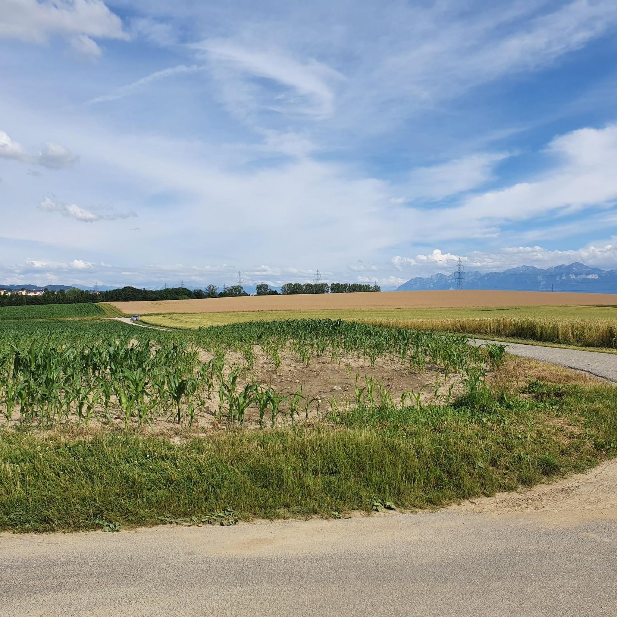
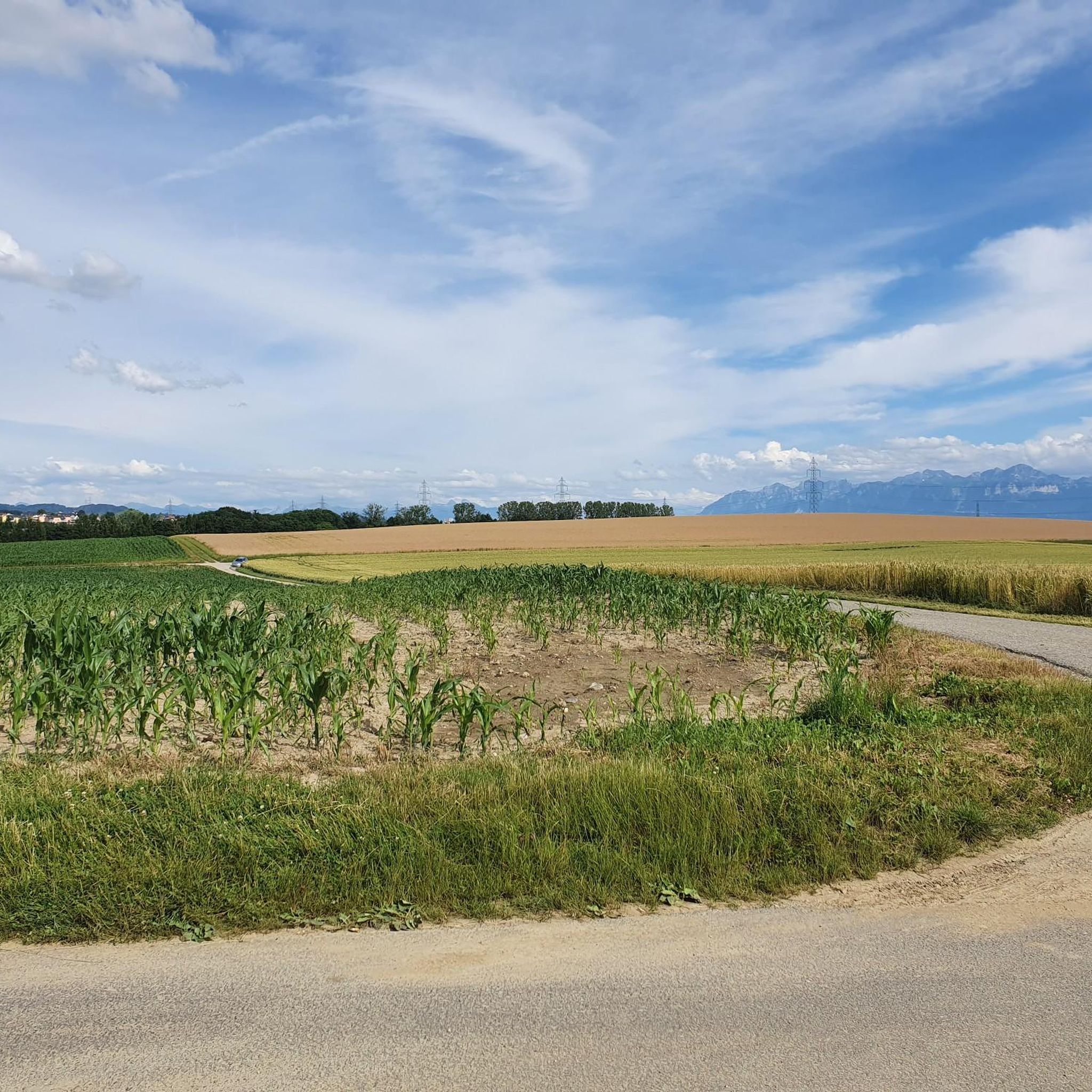
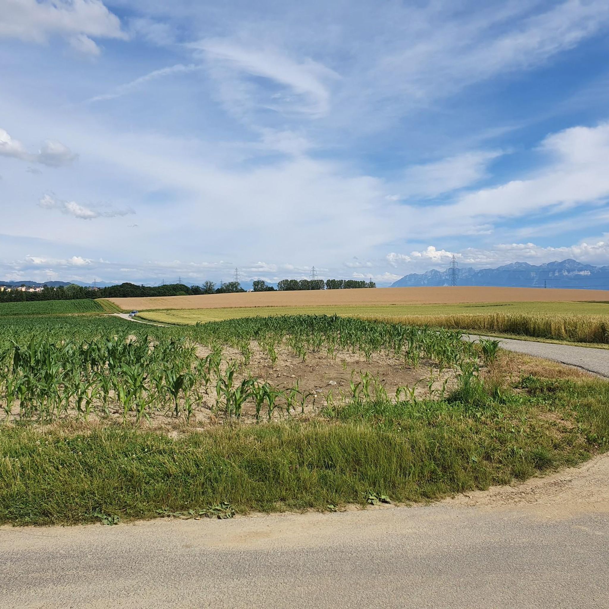
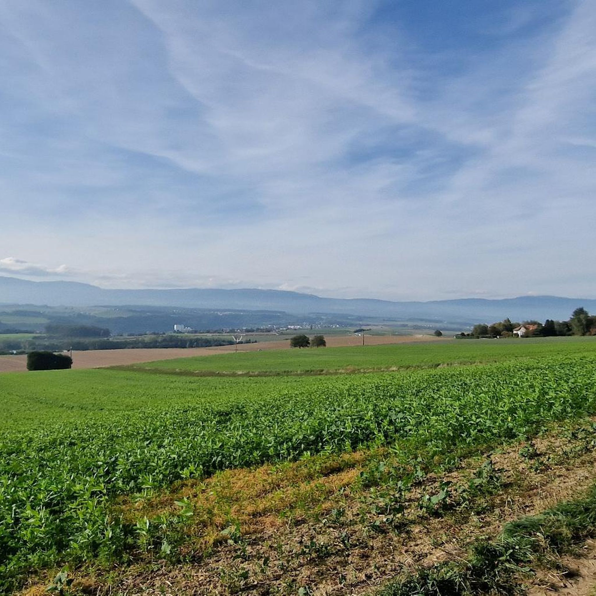
Jogging around Villars-Sainte-Croix offers a peaceful setting within the Swiss canton of Vaud, characterized by its rural charm. The municipality features extensive agricultural land and forested areas, providing serene and scenic environments for runners. Country roads and paths wind through fields and woodlands, offering tranquil routes away from urban bustle. Its location near Lausanne allows access to broader regional trail networks, including routes along the Venoge River.
Best jogging routes around Villars-Sainte-Croix
- The most popular jogging route is Running loop…
Last updated: October 13, 2026
5.0
(2)
35
runners
7.31km
00:50
120m
120m
Moderate run. Good fitness required. Mostly paved surfaces. Suitable for all skill levels.
1.5
(2)
31
runners
12.0km
01:21
140m
140m
Moderate run. Good fitness required. Mostly paved surfaces. Suitable for all skill levels.

5.0
(2)
18
runners
Moderate run. Good fitness required. Mostly paved surfaces. Suitable for all skill levels.
5.0
(1)
15
runners
12.2km
01:19
180m
180m
Moderate run. Good fitness required. Mostly paved surfaces. Suitable for all skill levels.
4.0
(2)
10
runners
9.39km
01:00
110m
110m
Moderate run. Good fitness required. Mostly paved surfaces. Suitable for all skill levels.
Get access to more routes and recommendations from other explorers.
Already have an account?
Our route recommendations are based on thousands of hikes, rides, and runs completed by other people on komoot.
Start today with a free account
Your next adventure awaits.

Tips from the Community

A magnificent forest trail between Bussigny and Vufflens-la-Ville.
0
0

Nice view of waterfall
0
0

The Echandens refuge is located in the Côte woods to the east of the Echandens village. With a capacity of 80 places, it has a stove, two small fridges and a fireplace. No crockery is provided. The exterior area of the refuge is privatized if rented. It is available to the public when the refuge is not rented. It consists of several fixed tables, a covered grill and a fire area with a cauldron tripod. https://echandens.ch/refuge/
6
0


The place is large and cosy. I pass often there and most of the time there's nobody so you can give it a try if you want to use the tables or cover.
0
0

Water point drinking bottle can be refilled
0
0

Uneven path but pleasant for walking and running. It runs along the river and is sheltered from the sun thanks to the trees. Be careful when it rains, the path can be very muddy or even disappear under water!
0
0
Large refuge which can like any refuge be used if nobody rents it.
2
0
Frequently Asked Questions
How many running routes are available around Villars-Sainte-Croix?
There are over 480 running routes available in and around Villars-Sainte-Croix, catering to various fitness levels. The majority are moderate, with some easier and more challenging options.
What kind of terrain can I expect on the running trails in Villars-Sainte-Croix?
The running trails in Villars-Sainte-Croix primarily feature a peaceful rural landscape. You'll find paths winding through extensive agricultural land and serene forested areas, often on country roads and well-maintained trails. Some routes, like the Bois de la Côte Shelter – View of Lausanne at Night loop from Bussigny, offer varied terrain.
Are there any easy running routes suitable for beginners or a relaxed jog?
Yes, Villars-Sainte-Croix offers several easy running routes. While most are moderate, there are 7 routes specifically graded as easy, perfect for beginners or those looking for a relaxed jog through the tranquil countryside.
Can I find circular running routes in the area?
Many of the running routes around Villars-Sainte-Croix are designed as loops, allowing you to start and finish in the same location. For example, the popular Running loop from Crissier is a convenient circular option near the village.
Are there any scenic viewpoints or natural features to see while running?
Absolutely. The region's natural charm means you'll encounter picturesque agricultural fields and woodlands. Routes like the Path Along the Venoge – Waterfall on the Venoge River loop from Bussigny lead you along the Venoge River, where you can discover a waterfall. Other trails may offer views overlooking Lausanne, such as the Bois de la Côte Shelter – View of Lausanne at Night loop from Bussigny.
What do other runners enjoy most about jogging in Villars-Sainte-Croix?
The running routes in Villars-Sainte-Croix are highly rated by the komoot community, with an average score of 4.4 stars from over 600 reviews. Runners often praise the peaceful, serene environment provided by the rural landscape, agricultural fields, and forested areas, offering a tranquil escape from urban bustle.
Are there any routes that pass by specific landmarks or attractions?
While Villars-Sainte-Croix itself is known for its natural setting, its proximity to Lausanne means you can explore routes that offer views or access to nearby attractions. For instance, you might find trails that connect to areas where you can visit the Ouchy Castle or the Olympic Museum and Park in Lausanne.
Is Villars-Sainte-Croix well-connected by public transport for accessing running trails?
Villars-Sainte-Croix is a small municipality, but its location near Lausanne means that broader regional public transport networks are accessible. You can often reach starting points for trails in neighboring areas like Bussigny, which serves as a common starting point for several routes, including the See overview loop from Bussigny.
Are there any dog-friendly running trails in Villars-Sainte-Croix?
Many of the natural paths and country roads through the agricultural and forested areas are suitable for running with dogs. It's always recommended to keep your dog on a leash, especially near agricultural fields or protected wildlife areas, and to respect local regulations.
What is the best season for jogging in Villars-Sainte-Croix?
The rural landscape of Villars-Sainte-Croix makes it enjoyable for jogging across multiple seasons. Spring and autumn offer pleasant temperatures and beautiful scenery with blooming fields or colorful foliage. Summer mornings and evenings are ideal to avoid the heat, while winter can provide crisp, refreshing runs, though some paths might be muddy or icy.
Are there any facilities like cafes or accommodation near the running routes?
While Villars-Sainte-Croix is a small, serene municipality, its proximity to Lausanne means that a wider range of services, including cafes, restaurants, and accommodation, are within easy reach. You may find local establishments in the village or nearby towns to refresh after your run.
How long do the running routes typically take to complete?
The duration of running routes varies depending on their length and your pace. For example, the Running loop from Crissier, which is 7.3 km, typically takes around 50 minutes. Longer routes like the 10.4 km Path Along the Venoge – Waterfall on the Venoge River loop from Bussigny might take about 1 hour and 5 minutes.
Most popular routes around Villars-Sainte-Croix
Most popular attractions around Villars-Sainte-Croix

Get inspired with the komoot mobile app


Explore more
Browse the best Running Trails & Routes in other regions.
