The best walks and hikes around Saint-Michel
4.3
(36)
330
hikers
35
hikes
Hiking around Saint-Michel offers a variety of trails through the French countryside. The region is characterized by rolling hills and agricultural landscapes, providing accessible routes for different skill levels. Trails often traverse woodlands and open fields, with moderate elevation changes.
Best hiking trails around Saint-Michel
- The most popular hiking route is Pamiers loop from Pamiers, a 9.8 miles (15.8 km) trail that takes 4 hours 30 minutes to complete. This moderate route features varied terrain through the local landscape. …
Last updated: May 23, 2026
4.0
(3)
27
hikers
15.8km
04:30
350m
350m
Moderate hike. Good fitness required. Easily-accessible paths. Suitable for all skill levels.
4.5
(2)
24
hikers
8.63km
02:27
180m
180m
Moderate hike. Good fitness required. Easily-accessible paths. Suitable for all skill levels.

Sign up for free
3.5
(2)
7
hikers
14.1km
04:10
400m
390m
Moderate hike. Good fitness required. Easily-accessible paths. Suitable for all skill levels.
3.5
(2)
7
hikers
15.3km
04:29
420m
420m
Moderate hike. Good fitness required. Easily-accessible paths. Suitable for all skill levels.
5.0
(1)
9
hikers
5.70km
01:34
100m
100m
Easy hike. Great for any fitness level. Easily-accessible paths. Suitable for all skill levels.
Get access to more routes and recommendations from other explorers.
Sign up for free
Already have an account?
Our route recommendations are based on thousands of hikes, rides, and runs completed by other people on komoot.
Start today with a free account
Your next adventure awaits.
Login or Signup
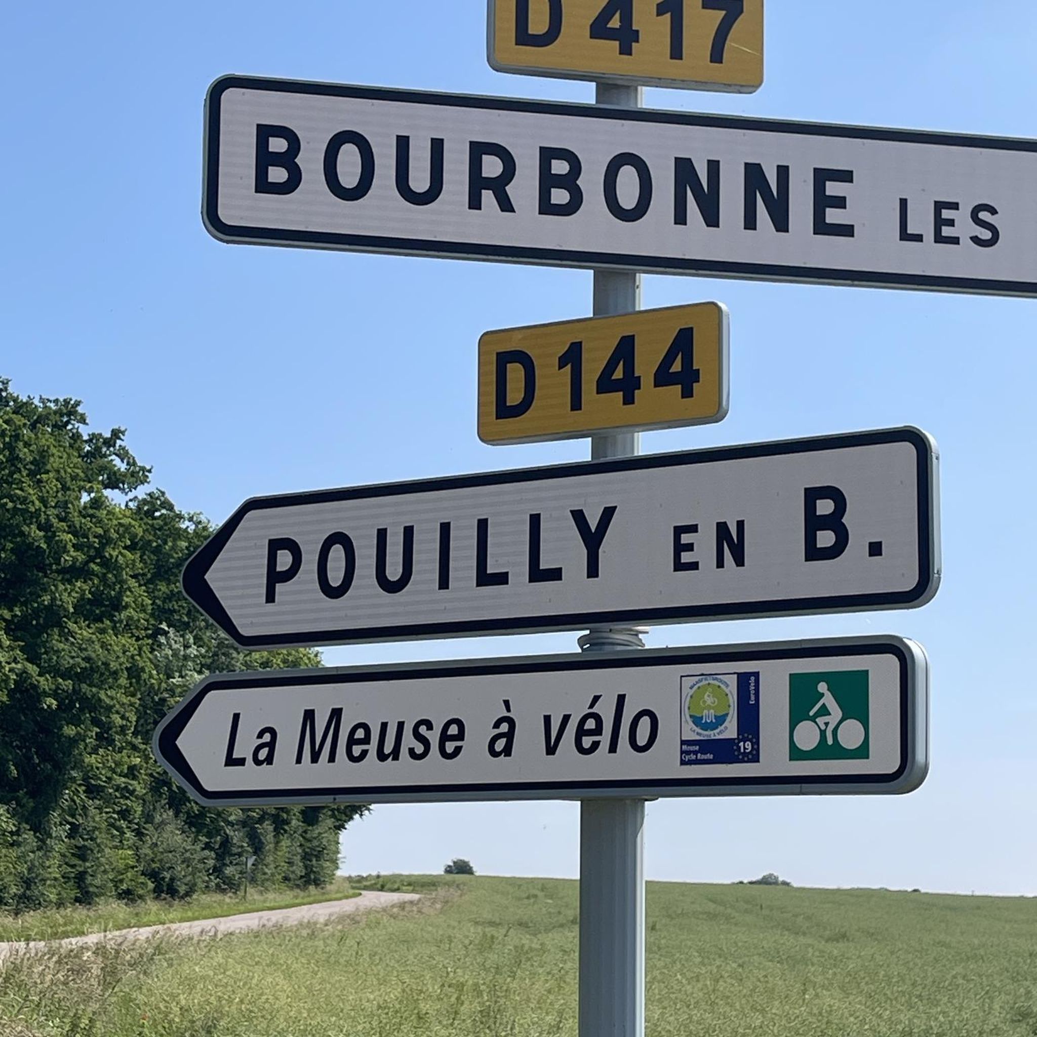
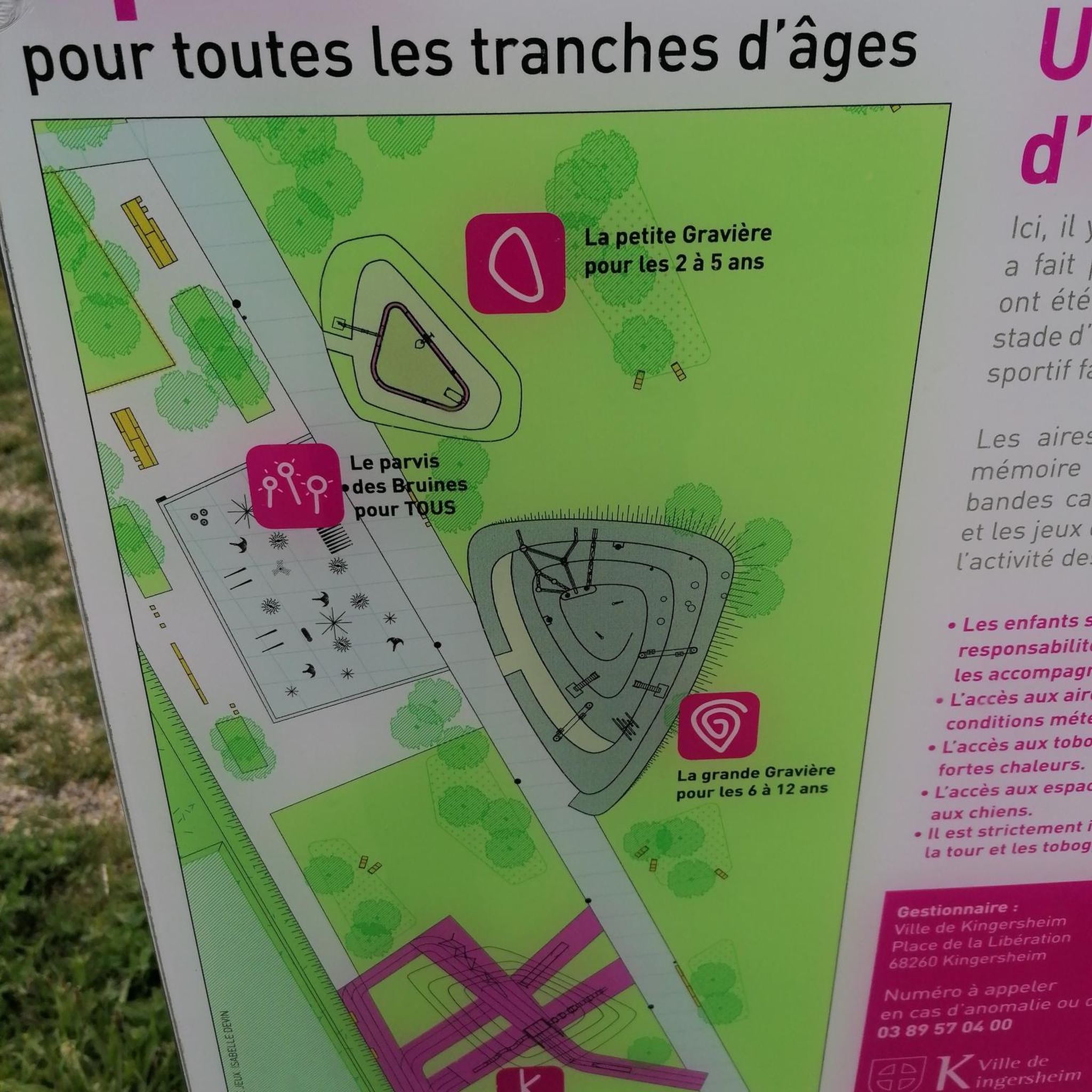

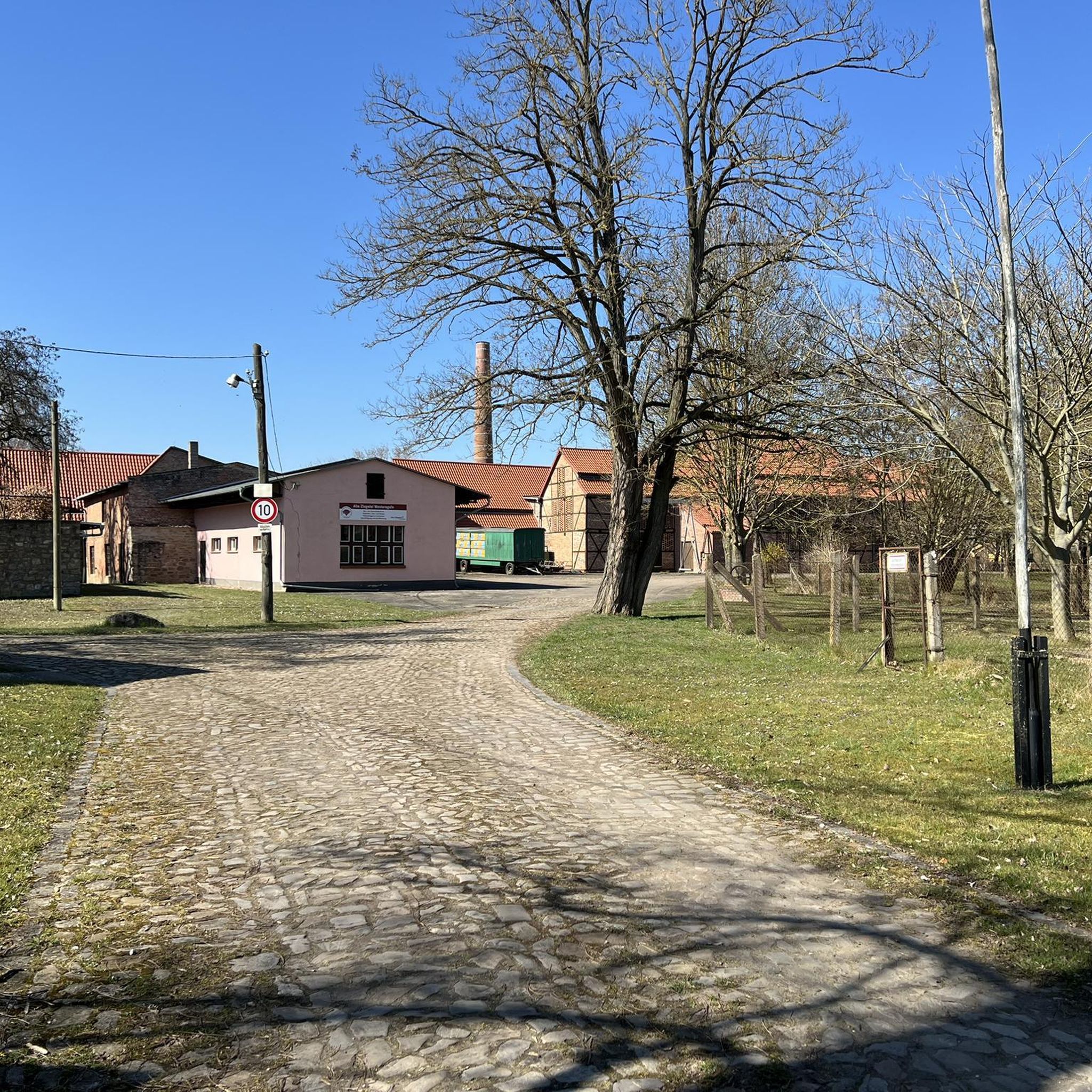

Tips from the Community

Located between plains and mountains, Pamiers is a pretty little village with character. Its ancient and authentic streets invite you to stroll and travel through the ages.
1
0

ridge path on limestone soil, in a forest of oaks and chestnut trees, beautiful and calm. Nice climb of 20%. Attention presence of dogs at the crossing of the farm of Barou
0
0
Frequently Asked Questions
What kind of terrain can I expect on hikes around Saint-Michel?
Hiking around Saint-Michel primarily features trails through the French countryside, characterized by rolling hills, agricultural landscapes, and woodlands. You'll find a mix of open fields and gentle hills, offering varied terrain suitable for different skill levels.
How many hiking trails are available in Saint-Michel?
There are over 35 hiking trails available in Saint-Michel. The network offers a good mix of routes, with 12 easy, 21 moderate, and 2 difficult trails to choose from.
Are there any easy hikes suitable for beginners in Saint-Michel?
Yes, Saint-Michel offers several easy hikes perfect for beginners. One such option is the Pferde in Sicht loop from Saint-Michel, which is 5.7 km long and takes about 1 hour 35 minutes to complete with minimal elevation gain.
What are some interesting landmarks or natural features to see along the trails?
While hiking in Saint-Michel, you can explore various points of interest. Notable attractions include the scenic Lake Filheit and Lac de Mondély. You might also encounter charming settlements like Les Bordes-sur-Arize and the picturesque Carla-Bayle Village, which offers views of the Pyrenees. The Pailhes Bridge is another interesting feature.
Are there any circular hiking routes in Saint-Michel?
Yes, many of the trails in Saint-Michel are circular, allowing you to start and end at the same point. Examples include the popular Pamiers loop from Pamiers and the Château de Bonnac loop from Bonnac.
What do other hikers say about the trails in Saint-Michel?
The hiking trails in Saint-Michel are highly rated by the komoot community, with an average score of 4.4 stars from over 30 reviews. Hikers often praise the mix of woodlands, open fields, and gentle hills, as well as the variety of routes suitable for different ability levels.
Are the trails around Saint-Michel suitable for families?
Yes, Saint-Michel offers routes suitable for various ability levels, including family-friendly options. The region's gentle hills and accessible trails through woodlands and open fields make it a pleasant destination for walks with children. Look for the 'easy' graded tours for the most suitable family experiences.
What is the typical duration for hikes in Saint-Michel?
Hikes in Saint-Michel vary in duration depending on the route and your pace. Shorter, easy trails can take around 1.5 to 2 hours, while moderate routes like the Pamiers loop from Pamiers typically take about 4 hours 30 minutes to complete.
Can I bring my dog on the hiking trails in Saint-Michel?
Generally, dogs are welcome on many outdoor trails in the French countryside, especially in open fields and woodlands. However, it's always advisable to keep your dog on a leash, especially near agricultural areas or if there are signs indicating restrictions for wildlife protection or livestock. Check specific trail regulations if available.
What is the best time of year to go hiking in Saint-Michel?
The best time to hike in Saint-Michel is typically during spring and autumn when the weather is mild and the landscapes are vibrant. Spring brings blooming wildflowers, while autumn offers beautiful foliage. Summer can also be pleasant, but it's advisable to start early to avoid the midday heat. Winter hiking is possible, but some paths might be muddy or less accessible depending on rainfall.
Are there any routes with views of historical sites like the Château de Bonnac?
Yes, the Château de Bonnac loop from Bonnac is a moderate 8.6 km path that specifically offers views of the Château de Bonnac and the surrounding fields, providing a blend of natural beauty and historical interest.
Most popular routes around Saint-Michel
Most popular attractions around Saint-Michel

Get inspired with the komoot mobile app


Explore more
Browse the best Hikes in other regions.
