The best running trails around Rossinière
4.5
(58)
5,226
runners
132
runs
Jogging routes Rossinière offer diverse terrain within the Swiss Alps, characterized by a network of trails that traverse lakes, mountains, and forests. The region features serene lakeside paths, challenging mountain ascents through the Vaudois Prealps, and shaded routes alongside the Sarine River. This varied landscape provides options for different fitness levels, from gentle loops to more strenuous climbs.
Best jogging routes around Rossinière
- The most popular jogging route is Lac du Vernex — loop — running from Rossinière, a…
Last updated: September 30, 2026
4.0
(1)
26
runners
7.89km
00:56
160m
160m
Jog the moderate 4.9-mile Sarine Trail in Pays-d'Enhaut, exploring the Gruyère Pays-d'Enhaut Nature Park and its scenic landmarks.
10
runners
4.18km
00:27
70m
60m
Easy run. Great for any fitness level. Mostly paved surfaces. Suitable for all skill levels.

7
runners
11.6km
02:08
860m
860m
Hard run. Very good fitness required. Sure-footedness, sturdy shoes and alpine experience required.
2
runners
14.8km
02:29
1,020m
1,020m
This difficult 9.2-mile (14.8 km) jogging loop from Chateau-d'Oex offers challenging terrain and rewarding mountain views, including Sur Pra
1
runners
12.4km
01:54
760m
760m
Hard run. Very good fitness required. Mostly paved surfaces. Suitable for all skill levels.
Get access to more routes and recommendations from other explorers.
Already have an account?
Our route recommendations are based on thousands of hikes, rides, and runs completed by other people on komoot.
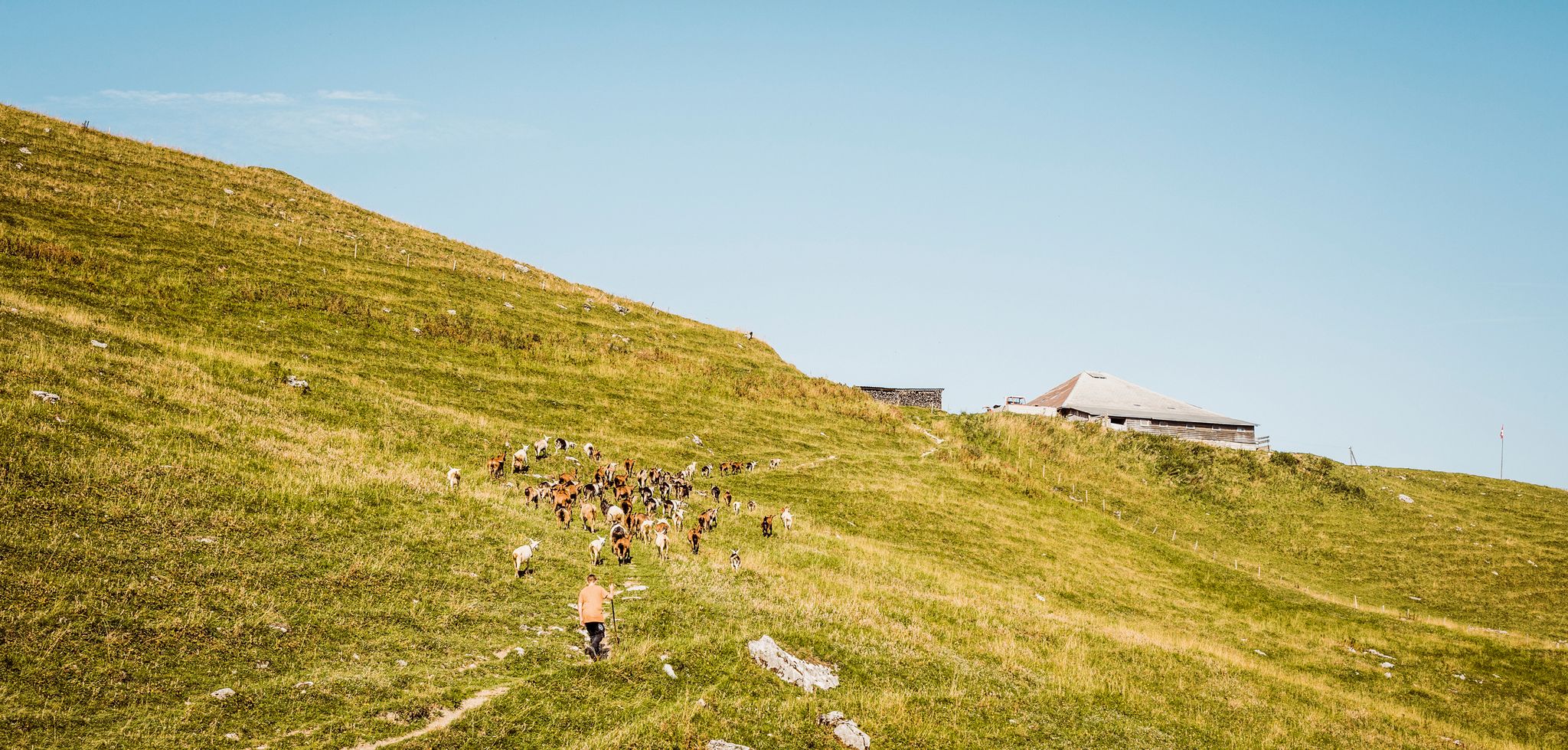
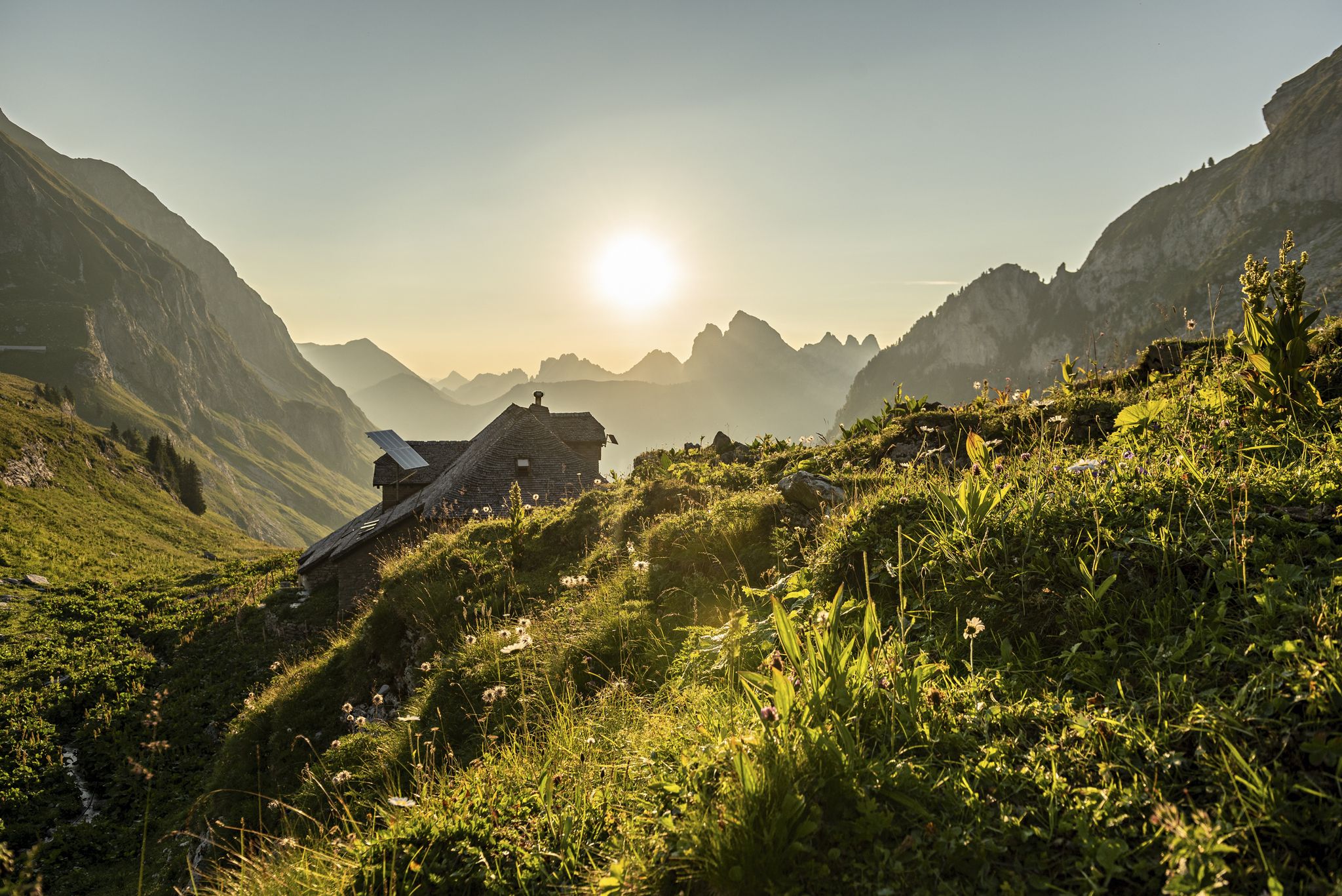
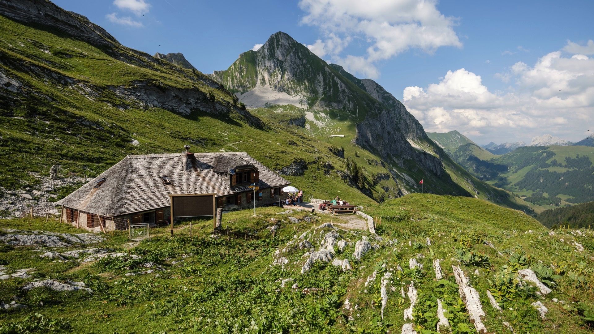
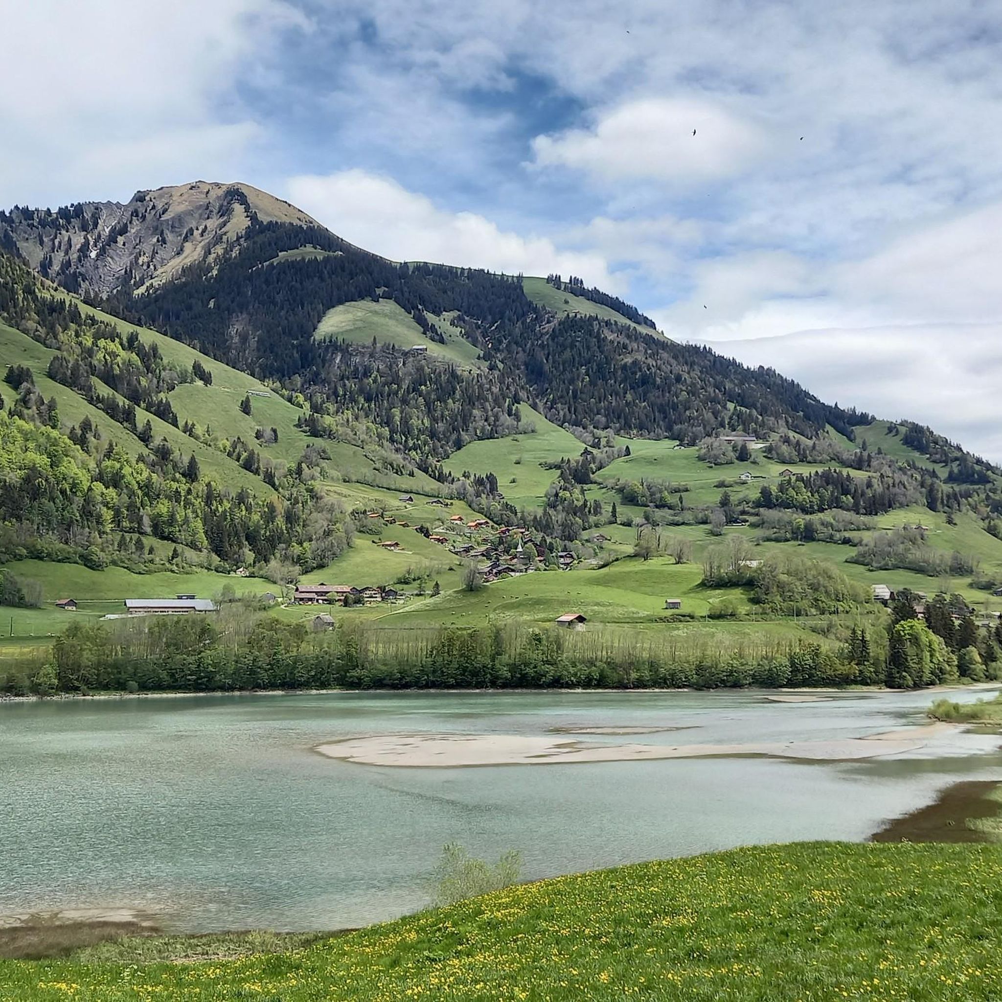



Tips from the Community

Currently closed due to flood damage. Updates here: https://schweizmobil.ch/en/map?E=2577757&N=1146441&resolution=1.25&bgLayer=pk&layers=wanderland&detours=yes&shooting=yes&logos=yes&photos=yes&season=summer
2
1


Suspension bridges are a modern trend - no, they existed before - and are an impressive structure.
0
0

Tourist village in the beautiful Pay d'Enhaut region, attention is paid to buildings in keeping with the style.
0
0

The Turrian Bridge is one of the last remaining suspension bridges. Built in 1883, it still withstands the passage of pedestrians and cyclists. With every step, it challenges your sense of balance.
0
0

The Church is placed high on a central hill. It was rebuilt at the beginning of the 15th century on the mound of the old count's castle and was the first in all of old Gruyère.
0
0
Frequently Asked Questions
How many running routes are available in Rossinière?
Rossinière offers a wide variety of running options, with over 140 routes available. These trails cater to different fitness levels, ranging from easy lakeside loops to more challenging mountain ascents through the Vaudois Prealps.
Are there easy running routes suitable for beginners or families in Rossinière?
Yes, Rossinière has several easy running routes perfect for beginners or families. The region features serene lakeside paths with minimal elevation gain. For example, the Lac du Vernex — loop — running from Rossinière is an easy 4.2 km loop offering beautiful lake and mountain views. Another great option is the Tour of Lac de Lessoc, an easy 4.1 km path around the artificial lake.
What kind of natural features can I expect to see while jogging in Rossinière?
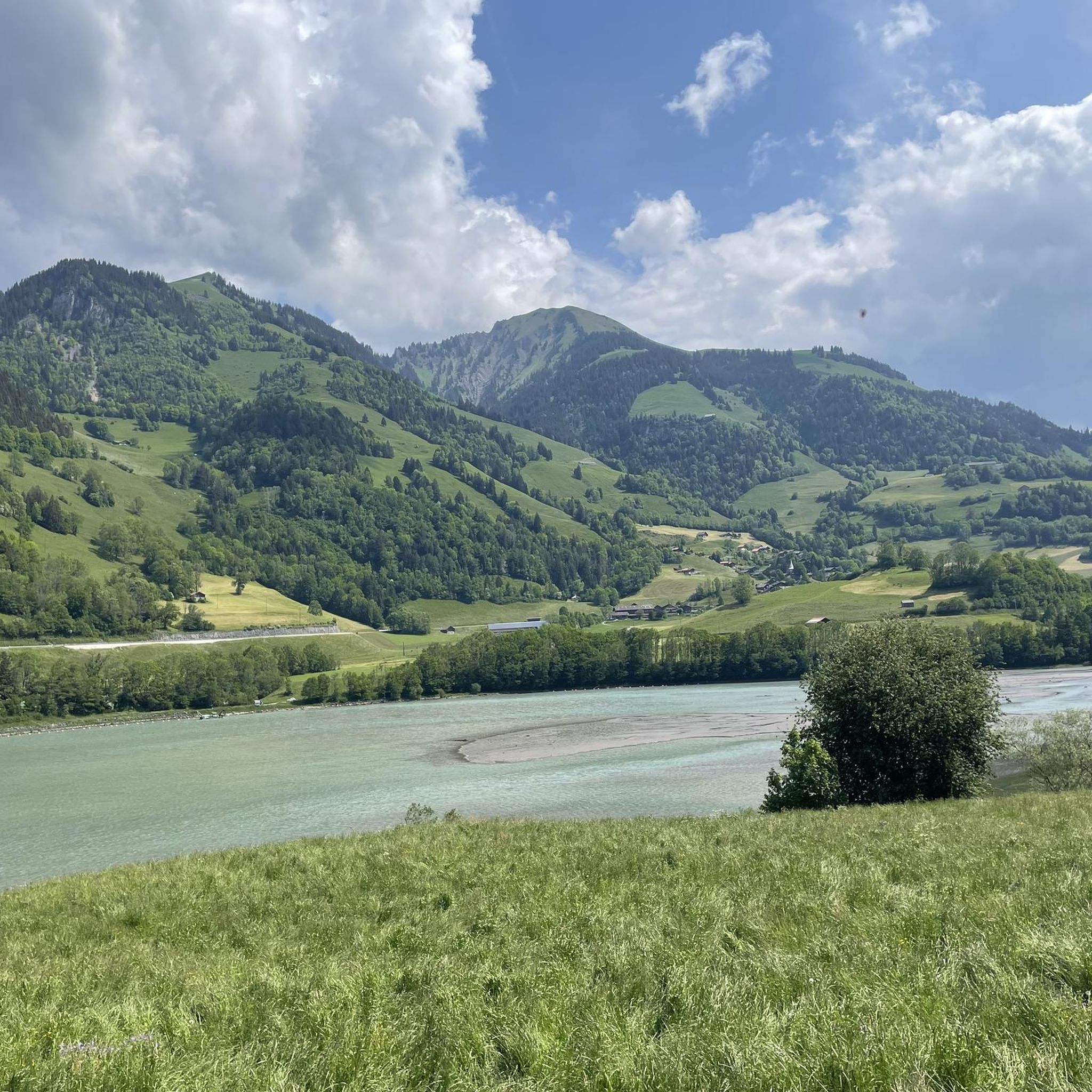
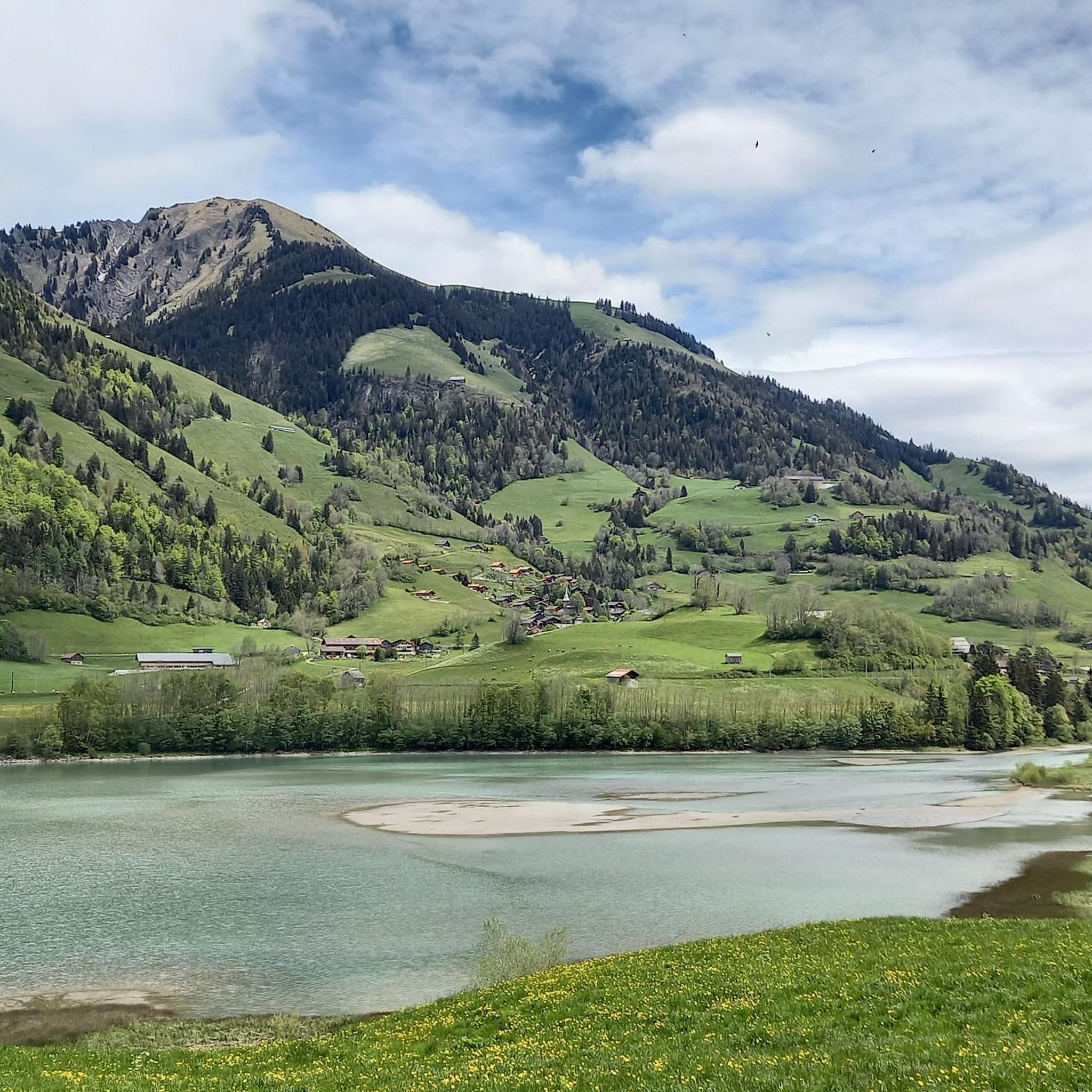
Rossinière's running routes showcase stunning natural features. You'll encounter picturesque lakes like Lac du Vernex and Lac de Lessoc, offering serene reflections and mountain backdrops. Trails also wind through lush forests, along the Sarine River, and ascend into the Vaudois Prealps, providing panoramic views and diverse terrain.
Are there any historical landmarks or attractions along the running trails?
Absolutely. Rossinière is rich in history and culture. While running, you might pass by remarkable 17th and 18th-century wooden buildings, including the majestic Grand Chalet. Historic bridges like the Turrian Bridge (the oldest suspension bridge in French-speaking Switzerland) and the Pont Couvert de Lessoc (a covered wooden bridge from 1667) can also be incorporated into your run, offering glimpses into ancient mule routes.
Can I find circular running routes in the Rossinière area?
Yes, many routes in Rossinière are designed as loops, allowing you to start and finish in the same location. The Lac du Vernex loop is a popular example, providing a scenic circuit around the lake. The Cabane des Choucas loop also offers a challenging circular course with significant elevation changes.
Are there any waterfalls visible from the running paths?
Yes, the region features beautiful natural sights, including waterfalls. The Ramaclé waterfall is a particularly lovely sight that can be enjoyed along certain routes, adding to the natural splendor of the area.
What do other runners say about the trails in Rossinière?
The running routes in Rossinière are highly regarded by the komoot community, boasting an average rating of 4.6 stars from over 50 reviews. Runners frequently praise the stunning scenery, the variety of terrain, and the opportunity to experience the fresh alpine air and natural beauty of the Swiss Alps.
Are there any challenging running routes for experienced runners?
For experienced runners seeking a challenge, Rossinière offers numerous difficult routes. These often involve significant elevation gains and traverse mountainous terrain. An example is the La Montagnette loop course, which features substantial climbs and descents, rewarding runners with expansive views.
Is it possible to access running trails in Rossinière using public transport?
Rossinière is well-connected within the Swiss public transport network. Many trailheads are accessible via local buses or trains, making it convenient to reach various starting points for your run without needing a car. It's advisable to check local transport schedules for specific route access.
What is the best time of year to go running in Rossinière?
The best time for running in Rossinière largely depends on your preference for terrain and weather. Spring and summer offer lush green landscapes, wildflowers, and comfortable temperatures, ideal for exploring forests and lakeside paths. Autumn brings vibrant foliage and crisp air, while winter can offer unique opportunities for snowshoe running on designated trails, though some higher-altitude paths may be inaccessible due to snow.
Are there opportunities for wildlife spotting while running?
Running through Rossinière's natural environment, especially in its forests and along river valleys like the Sarine, provides excellent opportunities for wildlife spotting. The region's alluvial zones are vital for local flora and fauna, so keep an eye out for various bird species and other small animals in their natural habitats.
Can I find routes that lead to scenic viewpoints or summits?
Yes, many routes in the Rossinière area offer breathtaking views. Trails ascending into the Vaudois Prealps, such as those leading towards the Monts Chevreuils, provide magnificent panoramic vistas of the Hongrin valley and Château-d'Œx. You can also find routes that pass near summits like Pic Chaussy Summit or Le Moléson Summit, offering rewarding views.
Most popular routes around Rossinière
Most popular attractions around Rossinière

Get inspired with the komoot mobile app


Explore more
Browse the best Running Trails & Routes in other regions.
