The best road cycling routes around Saint-Martin-Les-Eaux
4.5
(273)
8,829
riders
216
rides
Road cycling routes around Saint-Martin-Les-Eaux traverse the varied topography of the Luberon Regional Natural Park in the Alpes-de-Haute-Provence. The region features a mosaic of authentic villages, garrigue, vineyards, olive groves, and lavender fields. Cyclists encounter winding roads with terrain ranging from gentle slopes to challenging ascents, characteristic of the area's blend of Alpine and Mediterranean influences. The landscape provides diverse settings for road cycling.
Best road cycling routes around Saint-Martin-Les-Eaux
- The most popular road cycling route is Ascent Villemus –…
Last updated: October 30, 2026
4.7
(6)
185
riders
Hard road ride. Very good fitness required. Mostly well-paved surfaces and easy to ride.
4.0
(2)
135
riders
Moderate road ride. Good fitness required. Mostly well-paved surfaces and easy to ride.

5.0
(3)
113
riders
47.5km
02:06
400m
400m
Moderate road ride. Good fitness required. Mostly well-paved surfaces and easy to ride.
4.0
(2)
85
riders
58.3km
02:45
810m
810m
Moderate road ride. Good fitness required. Mostly well-paved surfaces and easy to ride.
3.0
(2)
43
riders
97.0km
04:49
1,430m
1,430m
Hard road ride. Very good fitness required. Mostly well-paved surfaces and easy to ride.
Get access to more routes and recommendations from other explorers.
Already have an account?
Our route recommendations are based on thousands of hikes, rides, and runs completed by other people on komoot.
Start today with a free account
Your next adventure awaits.

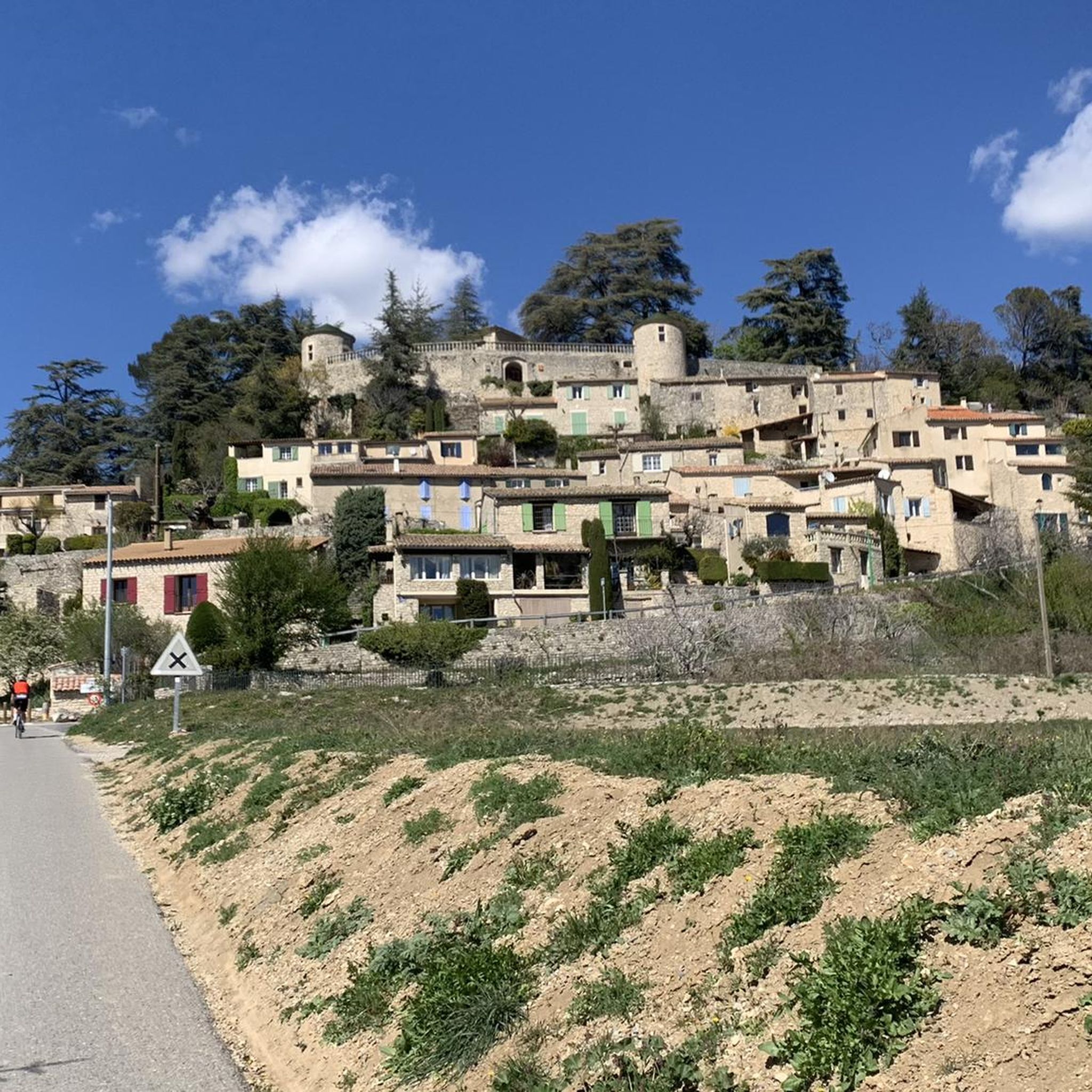
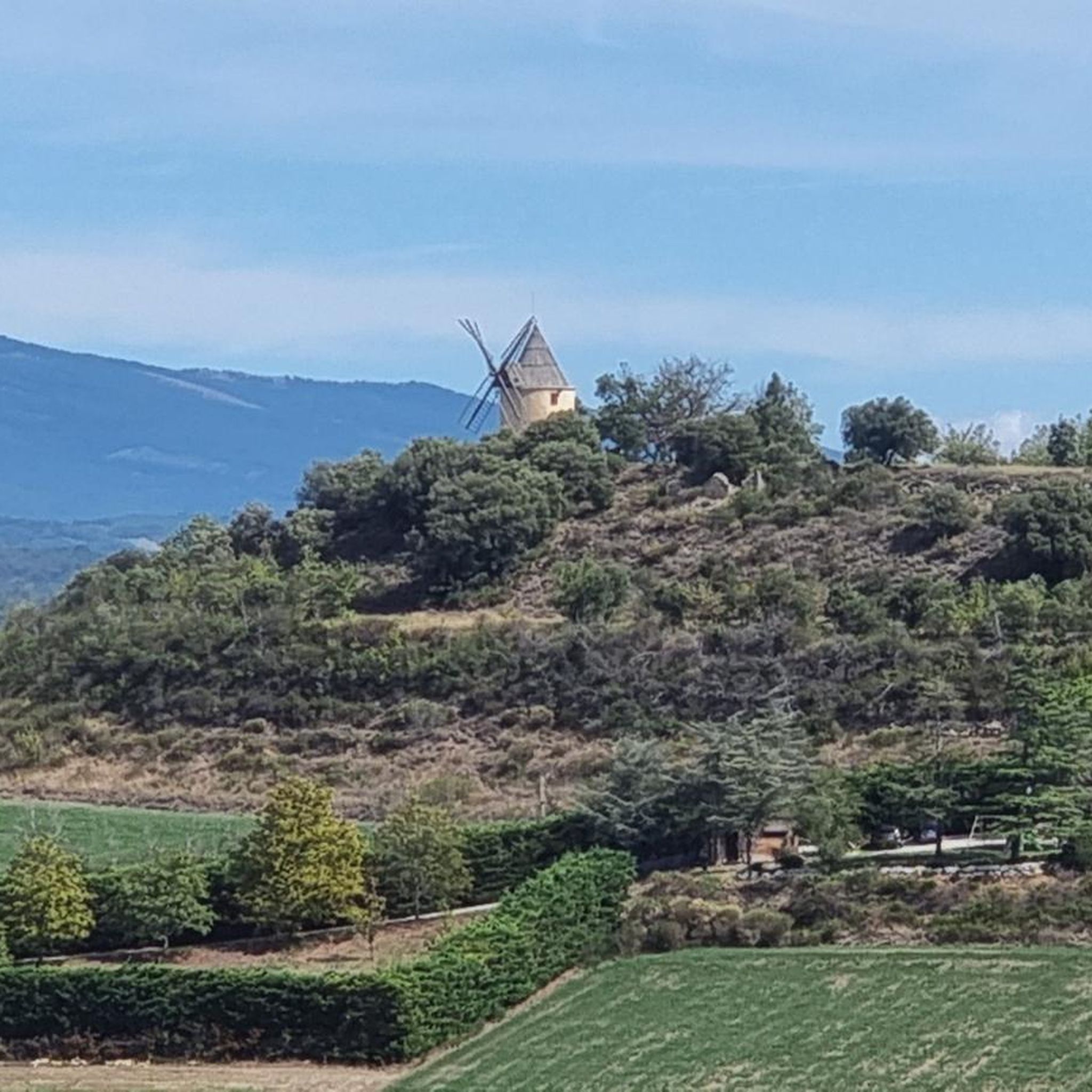
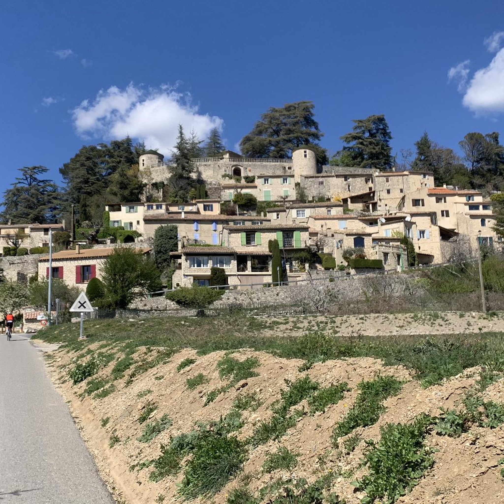

Tips from the Community


best panoramic view, absolutely recommended!
0
0

Beautiful village with a famous bookstore, narrow streets and some well-kept shops.
1
0

The Lure Mountains are a beautiful climb in the Vaucluse mountains. The climb is steady, covering 17.7 kilometers at an average gradient of 6%, all set against a stunning backdrop. The perfect blend of effort and contemplation.
2
0

The Ventoux's little brother. With a length of 17.7 kilometres and an ascent of 1054 vertical metres and a gradient of 5.9% on average, which implies a difficulty level of 688. The summit of the climb is located at 1746 metres above sea level. At the top the views are fabulous both towards Ventoux itself and towards the Alps. A long, very pleasant and fun climb that is worth the effort with percentages that remain around 5/6/7% and some peaks of up to 9.3%. The last 2 kilometres are very easy.
2
0

Indescribable view of the Alps
1
0

wonderful little road from Sigonce to Montlaux, good asphalt
2
0
Frequently Asked Questions
How many road cycling routes are available around Saint-Martin-Les-Eaux?
The Saint-Martin-Les-Eaux region offers a wide variety of road cycling routes. You can find over 200 routes, ranging from easy to difficult, allowing cyclists of all levels to explore the beautiful Luberon Regional Natural Park.
What kind of terrain can I expect when road cycling in the Saint-Martin-Les-Eaux region?
Road cycling in Saint-Martin-Les-Eaux traverses the varied topography of the Luberon Regional Natural Park. You'll encounter a mosaic of authentic villages, fragrant garrigue, sprawling vineyards, olive groves, and vibrant lavender fields. The roads offer a mix of terrain, from gentle slopes suitable for leisurely rides to more challenging ascents, reflecting the area's blend of Alpine and Mediterranean influences.
Are there road cycling routes suitable for beginners or families in Saint-Martin-Les-Eaux?
Yes, the region provides options for various skill levels. There are 21 easy road cycling routes available. Additionally, the "Green Way of Calavon," a 37-kilometer paved cycle path, is generally flat and suitable for a more relaxed ride, making it a great option for families or those seeking less challenging terrain.
What are some notable landmarks or attractions I can see while road cycling near Saint-Martin-Les-Eaux?
While cycling, you can explore several cultural and historical points of interest. Consider visiting charming settlements like Forcalquier, Saint Michel l'Observatoire, or Reillanne village. You might also pass by the Jean Giono Centre in Manosque or the Historic Center of Manosque, offering insights into the region's heritage.
What is the best time of year for road cycling in Saint-Martin-Les-Eaux?
The Luberon region, including Saint-Martin-Les-Eaux, offers ample opportunities to enjoy sunshine and fresh air. Spring and autumn are generally ideal, with pleasant temperatures and vibrant landscapes. Summers can be warm, but early morning rides are often very enjoyable. The varied climate allows for cycling through much of the year.
Are there any challenging road cycling routes for experienced cyclists?
Absolutely. The region features 85 difficult road cycling routes with significant ascents, providing a good challenge for experienced riders. For example, the Les Mées – The Penitents of Les Mées loop from Saint-Michel-l'Observatoire - Rimourelle is a demanding 96.8 km route with over 1400 meters of elevation gain.
What do other road cyclists enjoy the most about road cycling in Saint-Martin-Les-Eaux?
The road cycling routes in Saint-Martin-Les-Eaux are highly rated by the komoot community, with an average score of 4.5 stars from over 200 reviews. Cyclists often praise the winding roads through authentic villages, vineyards, and olive groves, as well as the diverse terrain that caters to different ability levels.
Are there any loop road cycling routes available?
Yes, many of the road cycling routes in the area are designed as loops, allowing you to start and finish at the same point. Examples include the popular Ascent Villemus – Col de la Mort d'Imbert loop from Saint-Michel-l'Observatoire and the Manosque – Jean Giono Centre loop from Manosque.
Where can I find parking for road cycling routes in Saint-Martin-Les-Eaux?
While specific parking details vary by route starting point, many villages and towns in the Luberon Regional Natural Park, such as Manosque, Forcalquier, or Saint-Michel-l'Observatoire, offer public parking facilities suitable for accessing the cycling routes. It's advisable to check the starting point of your chosen route for the most convenient parking options.
Can I find cafes or restaurants along the road cycling routes?
The region is dotted with charming villages, many of which offer local cafes and restaurants. You'll find opportunities to stop for refreshments or a meal, especially in larger towns like Manosque or Forcalquier, and in the smaller perched villages that are often part of the cycling routes. These stops provide a chance to experience local produce and Provençal cuisine.
What are the typical distances for road cycling routes in this area?
The routes around Saint-Martin-Les-Eaux vary significantly in length. You can find shorter rides, such as the Ascent Villemus – Col de la Mort d'Imbert loop at 37.3 km, to much longer and more challenging excursions like the Forcalquier – Le Rocher d'Ongles loop from Dauphin, which covers 69.6 km.
Are there any routes that pass through lavender fields?
Yes, the Luberon region is famous for its lavender fields. While specific routes may vary depending on the season, many cycling paths traverse areas where lavender is cultivated, particularly in the Pays de Forcalquier and around the Valensole plateau, offering stunning views and fragrant experiences during bloom season (typically June to August).
Most popular routes around Saint-Martin-Les-Eaux
Most popular attractions around Saint-Martin-Les-Eaux

Get inspired with the komoot mobile app


Explore more
Browse the best Road cycling routes in other regions.
