The best walks and hikes around Garennes-Sur-Eure
4.5
(96)
361
hikers
54
hikes
Hiking around Garennes-Sur-Eure offers diverse landscapes shaped by the Eure River, wooded hills, and extensive forests. The terrain features a mix of countryside, fir tree woods, and natural reserves like the Vallée des Cailles. These natural elements provide varied environments for outdoor exploration. The region's network of trails allows access to both natural beauty and historical sites.
Best hiking trails in Garennes-Sur-Eure
- The most popular hiking route is Anet and Vallée des Cailles Loop, a 6.7 miles (10.8 km)…
Last updated: July 8, 2026
4.8
(4)
7
hikers
5.04km
01:26
100m
100m
Easy hike. Great for any fitness level. Easily-accessible paths. Suitable for all skill levels.
5.0
(2)
8
hikers
12.1km
03:14
120m
120m
Moderate hike. Good fitness required. Easily-accessible paths. Suitable for all skill levels.

Sign up for free
5.0
(3)
10
hikers
10.5km
02:54
160m
160m
Moderate hike. Good fitness required. Easily-accessible paths. Suitable for all skill levels.
4.0
(1)
7
hikers
5.78km
01:33
70m
70m
Easy hike. Great for any fitness level. Easily-accessible paths. Suitable for all skill levels.
3.0
(1)
8
hikers
9.38km
02:28
70m
70m
Moderate hike. Good fitness required. Easily-accessible paths. Suitable for all skill levels.
Get access to more routes and recommendations from other explorers.
Sign up for free
Already have an account?
Our route recommendations are based on thousands of hikes, rides, and runs completed by other people on komoot.
Start today with a free account
Your next adventure awaits.
Login or Signup




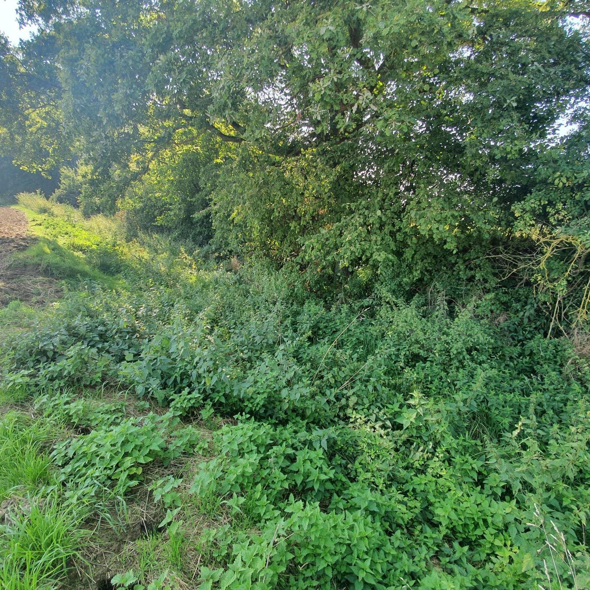
Tips from the Community

A village full of character with a rich industrial past. Visit its church and the ruins of its castle. If you're interested in Calvados, a guided tour of the Morin winery is a must.
0
0

The church still houses the bell that rang Henry IV's victory in the 1590 battle between the royal army and the Catholic League. An inscription on the chevet recalls that Saint-Martin was transformed into a temple of Reason during the French Revolution.
0
0
Frequently Asked Questions
How many hiking trails are available in Garennes-Sur-Eure?
There are over 50 hiking trails around Garennes-Sur-Eure, offering a wide range of options for different skill levels and preferences. The komoot community has recorded 56 routes in total.
What kind of terrain can I expect on hikes around Garennes-Sur-Eure?
The terrain around Garennes-Sur-Eure is quite diverse, shaped by the Eure River, wooded hills, and extensive forests. You'll find a mix of serene countryside, fir tree woods, and natural reserves like the Vallée des Cailles. Many trails also utilize greenways and forest paths, providing varied environments for exploration.
Are there any easy hiking trails suitable for beginners or casual walkers?
Yes, Garennes-Sur-Eure offers 18 easy hiking routes perfect for beginners or those looking for a relaxed stroll. An example is the Anet Castle loop from Ézy-sur-Eure, which is 3.3 miles (5.3 km) long and takes about 1 hour 20 minutes, offering pleasant views of the historic Château d'Anet.
What interesting landmarks or natural features can I see along the hiking trails?
Many trails in the region pass by notable points of interest. You can admire the magnificent 16th-century Château d'Anet, explore the natural beauty of the Vallée des Cailles, or discover charming churches like the Church of Saint-Aignan and the picturesque Neauphlette Church. The Eure Valley Greenway also offers scenic paths.
Are there any circular hiking routes in Garennes-Sur-Eure?
Yes, many of the hiking routes in Garennes-Sur-Eure are circular, allowing you to start and end at the same point. A popular option is the Anet and Vallée des Cailles Loop, a moderate 6.7-mile (10.8 km) trail that takes about 2 hours 55 minutes to complete.
What do other hikers enjoy most about hiking in Garennes-Sur-Eure?
The hiking routes in Garennes-Sur-Eure are highly rated by the komoot community, with an average score of 4.6 stars from over 90 reviews. Hikers often praise the peaceful rural escape, the varied landscapes including river valleys and wooded hills, and the opportunities to combine nature exploration with visits to historical sites like Château d'Anet.
Are the hiking trails in Garennes-Sur-Eure suitable for families?
Yes, Garennes-Sur-Eure offers several trails suitable for families. The varied terrain includes easy strolls through the countryside and forests, which can be enjoyable for all ages. Shorter, less challenging routes like the Anet Castle loop from Ézy-sur-Eure are particularly good for family outings.
Can I bring my dog on the hiking trails in this region?
Generally, dogs are welcome on many of the trails in the Garennes-Sur-Eure region, especially on public footpaths and forest trails. However, it's always advisable to keep your dog on a leash, especially in nature reserves like the Vallée des Cailles, or when passing through agricultural areas, to protect local wildlife and livestock.
What is the best time of year to go hiking in Garennes-Sur-Eure?
The best time to hike in Garennes-Sur-Eure is typically during spring, summer, and early autumn. Spring brings blooming wildflowers and mild temperatures, while summer offers warm, sunny days perfect for exploring. Autumn provides beautiful foliage and comfortable hiking conditions. Winter hiking is also possible, though some paths might be muddy, and daylight hours are shorter.
Are there any longer, more challenging hikes for experienced trekkers?
While Garennes-Sur-Eure is known for its moderate and easy trails, there are longer options for those seeking more distance. For example, the Ivry-la-Bataille – Anet Castle loop from Ézy-sur-Eure is a 9.6-mile (15.5 km) trail that leads through varied countryside and past historical landmarks, taking nearly 4 hours to complete.
Is public transport available to reach hiking trailheads in Garennes-Sur-Eure?
Garennes-Sur-Eure is a rural area, and while some local bus services might connect villages, direct public transport to specific trailheads can be limited. It's often more convenient to reach the starting points by car. Check local transport schedules for the most up-to-date information on routes and timings.
Where can I find parking near the hiking trails?
Parking is generally available in the villages and towns that serve as starting points for hikes, such as Garennes-Sur-Eure, Anet, or Ézy-sur-Eure. Look for designated parking areas near churches, town centers, or public spaces. Specific parking information for individual routes can often be found in the route descriptions on komoot.
Most popular routes around Garennes-Sur-Eure
Most popular attractions around Garennes-Sur-Eure

Get inspired with the komoot mobile app


Explore more
Browse the best Hikes in other regions.
