The best walks and hikes around Azilone-Ampaza
4.5
(68)
573
hikers
17
hikes
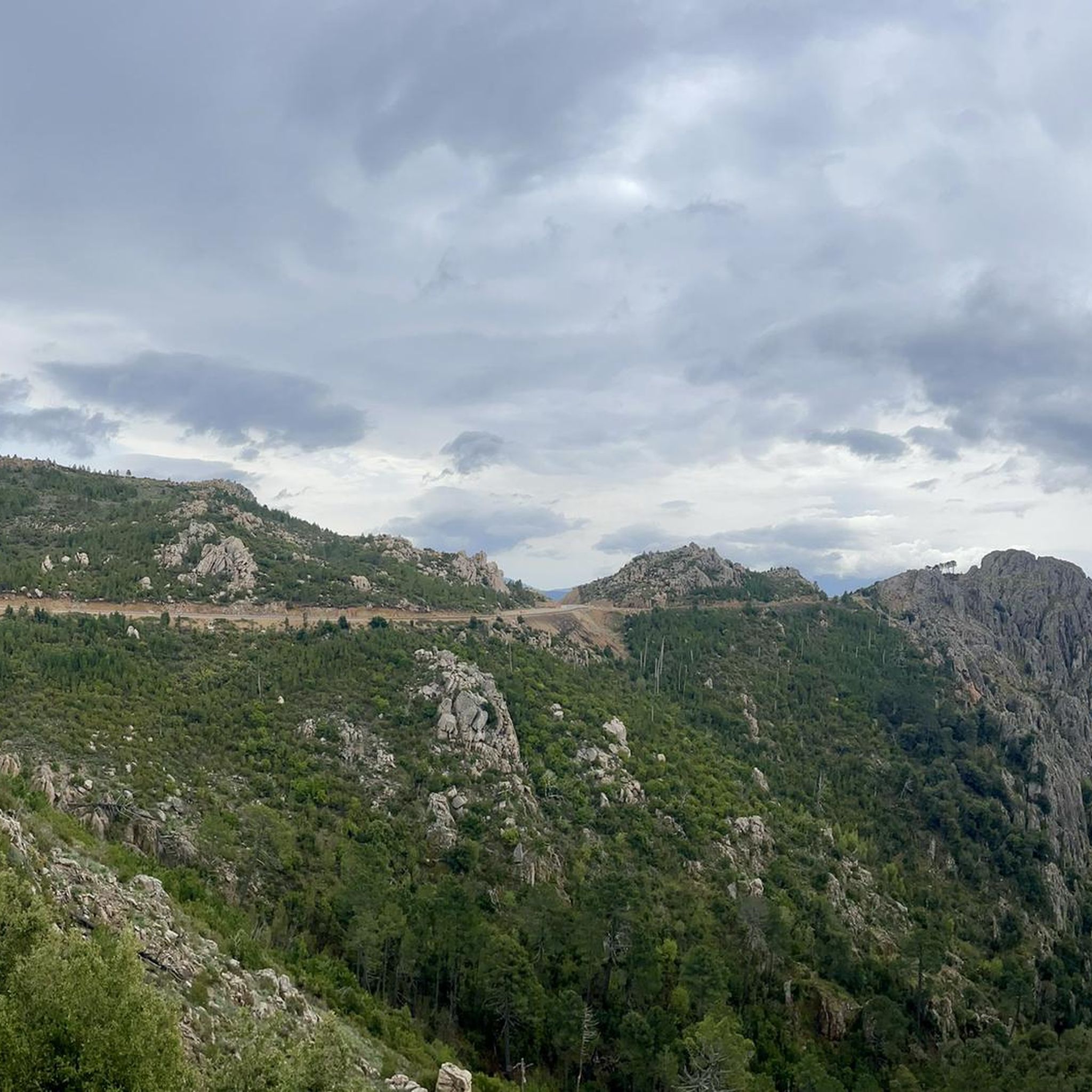
Hiking around Azilone-Ampaza offers exploration across diverse landscapes within Corsica's Panicale Valley. The region features varied topography, with elevations ranging from 354 meters to 909 meters, encompassing mountains, rolling hills, and heavily forested areas. Waterways such as the Ruisseau de Catagnone, Ruisseau u Fiumicellu, and Ruisseau de Monacore traverse the valley. Hikers encounter significant granite formations and Mediterranean maquis throughout the terrain.
Best hiking trails around Azilone-Ampaza
- The most popular hiking route is Cascade of Moca-Croce – Piscia di l'Onda…
Last updated: July 12, 2026
4.4
(18)
161
hikers
6.37km
01:57
210m
210m
Easy hike. Great for any fitness level. Easily-accessible paths. Suitable for all skill levels.
4.7
(6)
62
hikers
2.13km
00:46
130m
130m
Easy hike. Great for any fitness level. Easily-accessible paths. Suitable for all skill levels.

Sign up for free
5.0
(2)
27
hikers
23.4km
10:43
1,460m
1,460m
Hard hike. Very good fitness required. Mostly accessible paths. Sure-footedness required.
4.0
(1)
18
hikers
7.48km
02:39
430m
430m
Moderate hike. Good fitness required. Easily-accessible paths. Suitable for all skill levels.
5.0
(1)
8
hikers
5.92km
01:48
180m
180m
Easy hike. Great for any fitness level. Easily-accessible paths. Suitable for all skill levels.
Get access to more routes and recommendations from other explorers.
Sign up for free
Already have an account?
Our route recommendations are based on thousands of hikes, rides, and runs completed by other people on komoot.
Start today with a free account
Your next adventure awaits.
Login or Signup
Popular around Azilone-Ampaza

Tips from the Community


An impressive secluded waterfall.
1
0
Frequently Asked Questions
What kind of terrain can I expect on hiking trails around Azilone-Ampaza?
Hiking around Azilone-Ampaza offers a diverse experience, ranging from 354 meters to 909 meters in elevation. You'll encounter a mix of granite formations, dense woodlands, and the varied topography of the Panicale Valley. Trails often follow waterways like the Ruisseau de Catagnone and traverse fragrant Mediterranean maquis.
Are there any waterfalls to discover while hiking in Azilone-Ampaza?
Yes, the region is home to beautiful waterfalls. A popular easy loop trail is the Cascade of Moca-Croce – Piscia di l'Onda Waterfall loop from Moca-Croce / Macà è Croci, which leads directly to the Piscia di l'Onda Waterfall. Additionally, the region research mentions the impressive Voile de la Mariée (Bride's Veil) waterfall.
What is the best time of year to go hiking in Azilone-Ampaza?
The best times to visit Azilone-Ampaza for hiking are spring and autumn. During these seasons, temperatures are mild, and the landscapes are vibrant, creating ideal conditions for exploration.
Are there any family-friendly hiking options in Azilone-Ampaza?
Yes, Azilone-Ampaza offers several easy trails suitable for families. For instance, the Cascade of Moca-Croce – Piscia di l'Onda Waterfall loop from Moca-Croce / Macà è Croci is an easy 6.4 km (4.0 miles) route that takes less than two hours to complete, making it a good choice for a family outing.
Can I find circular hiking routes in the Azilone-Ampaza area?
Yes, many trails in Azilone-Ampaza are designed as loops, allowing you to start and end in the same location. Examples include the Cascade of Moca-Croce – Piscia di l'Onda Waterfall loop from Moca-Croce / Macà è Croci and the Bocca di Lera loop from Guitera-les-Bains.
What historical or cultural sites can I see while hiking in Azilone-Ampaza?
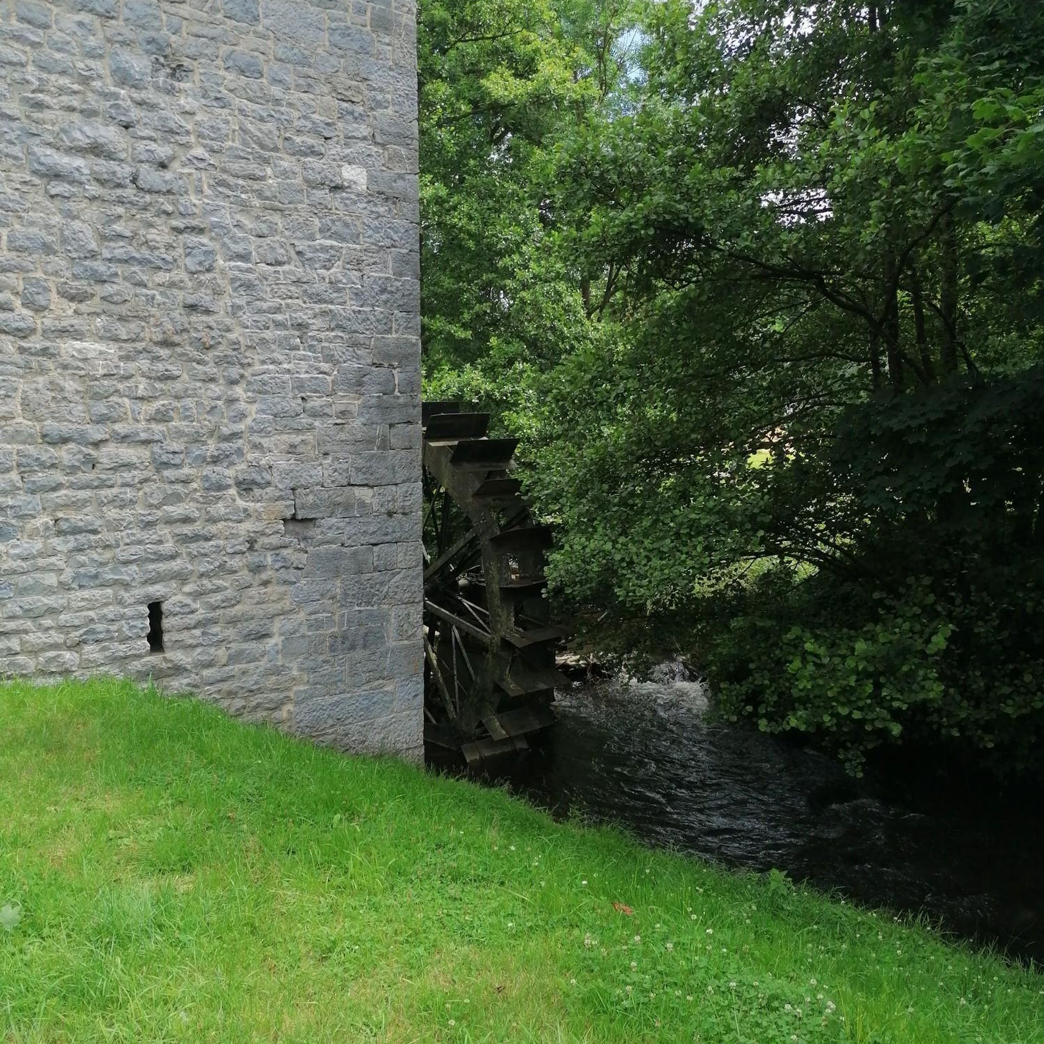
Beyond natural beauty, you can encounter cultural elements such as typical stone houses and a recently restored lavoir (washhouse) within the villages. The site of Castellu Locrari, perched at over 800 meters on a granite chaos, offers historical intrigue as an important medieval castle site overlooking ancient pathways.
Are there any notable viewpoints or landmarks along the trails?
The region offers several scenic spots. The Punta d'Urghjavari – Saint-Georges Pass loop from Campo provides views of mountainous terrain. You might also encounter the Col de Vaccia, a mountain pass, and the Zicavo Waterfalls, which are nearby attractions.
How many hiking trails are available in Azilone-Ampaza?
There are 19 hiking trails available around Azilone-Ampaza, offering a variety of options for different skill levels. This includes 10 easy, 4 moderate, and 5 difficult routes.
What do other hikers say about the trails in Azilone-Ampaza?
The routes in Azilone-Ampaza are highly rated by the komoot community, with an average score of 4.4 stars from over 60 reviews. Hikers often praise the diverse landscapes, from granite formations to dense woodlands, and the varied topography of the Panicale Valley.
Are there any challenging hikes for experienced trekkers?
Yes, for experienced trekkers seeking a challenge, the Punta d'Urghjavari – Saint-Georges Pass loop from Campo is a difficult 23.6 km (14.7 miles) trail. It leads through mountainous terrain with significant elevation gain and typically takes around 11 hours to complete.
Are there options for village-to-village hiking in the area?
Yes, the region features "Sentiers de village à village," allowing you to explore the charm of the area by connecting the two historical villages of Azilone and Ampaza. These trails offer an immersive way to experience local culture and natural beauty.
Most popular routes around Azilone-Ampaza
Most popular attractions around Azilone-Ampaza

Get inspired with the komoot mobile app


Explore more
Browse the best Hikes in other regions.
