Top 7 Mountain Passes around Montségur
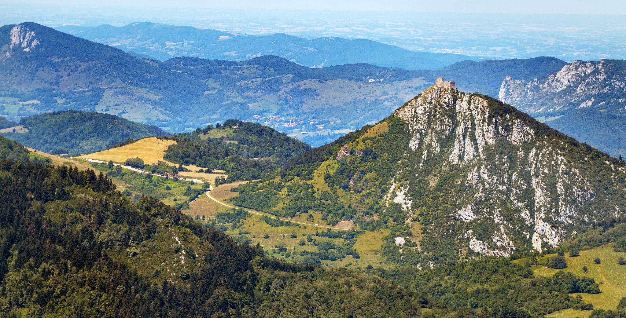
Best mountain passes around Montségur are found in the Ariège department, situated at the northern foothills of the eastern Pyrenees Mountains in southwestern France. This region features a mountainous landscape that provides various opportunities for outdoor exploration. The terrain offers access to several notable mountain passes and high-altitude areas. Montségur is known for its natural features and historical significance, making it a destination for those seeking elevated routes.
Best mountain passes around Montségur
- The most popular mountain passes is Col…
Last updated: June 26, 2026
Col des Sept Frères
Highlight • Mountain Pass
Translated by Google •
Tip by

La Lauze Pass
Highlight • Mountain Pass
Tip by

Sign up now to discover places like this
Get recommendations on the best single tracks, peaks, & plenty of other exciting outdoor places.
Sign up for free
Col de Montségur
Highlight • Mountain Pass
Translated by Google •
Tip by

Col de Marmare (1361 m)
Highlight • Mountain Pass
Translated by Google •
Tip by
Col du Chioula
Highlight • Mountain Pass
Link between the upper Ariege valley and the Sault plateau. The cross-country ski resort is also located on this peak.
Translated by Google •
Tip by

Sign up for free to discover even more mountain passes around Montségur.
Sign up for free
Already have an account?
Start today with a free account
Your next adventure awaits.
Login or Signup
Popular around Montségur
Plains, hills and mountains – GR 7 in the heart of France’s Occitania
Le chemin des Bonshommes — In the footsteps of the Cathars
Cathar Route from Catalonia to France – Bons Homes Path (GR 107)
The chemin des Bonshommes — a journey between France and Spain
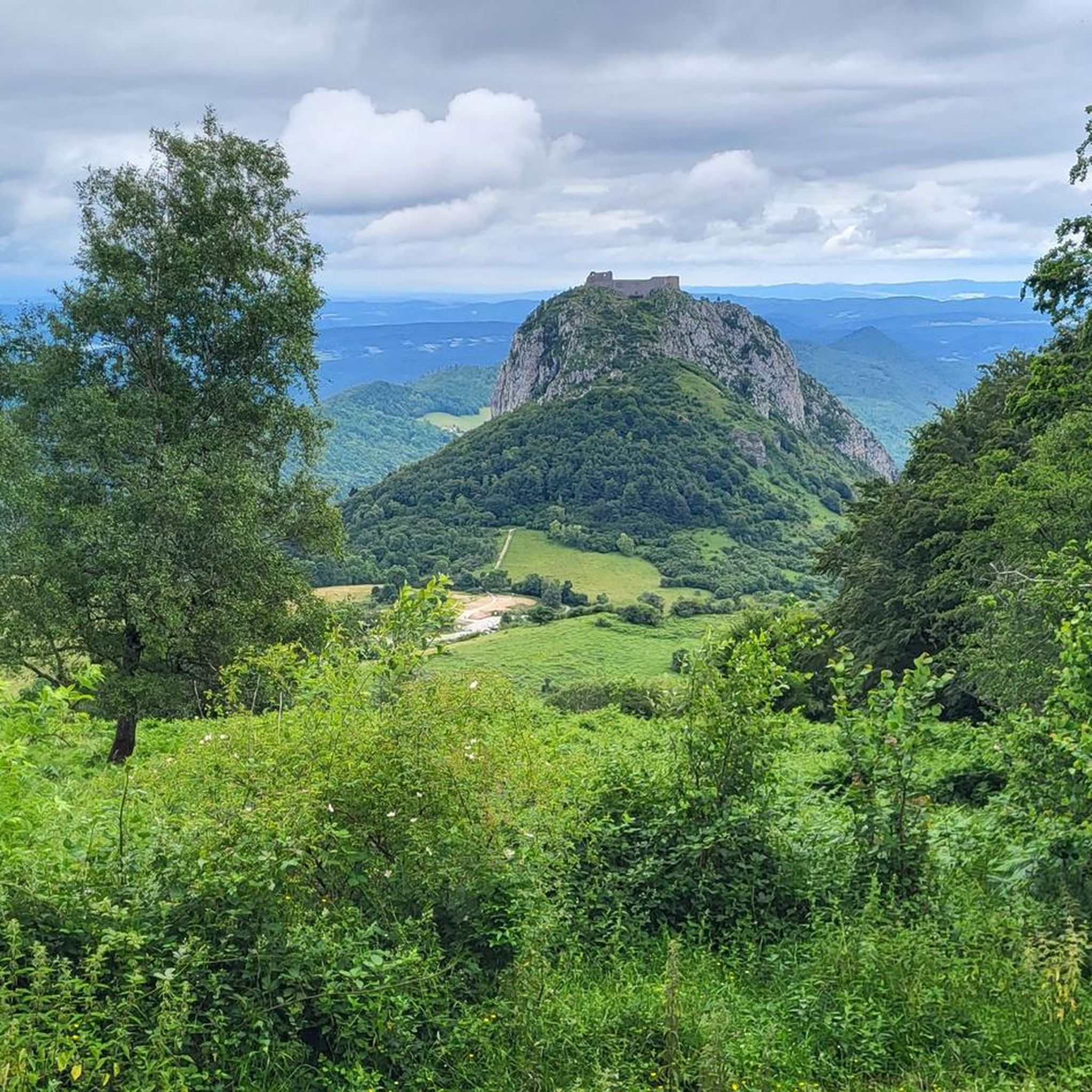
Hiking around Montségur
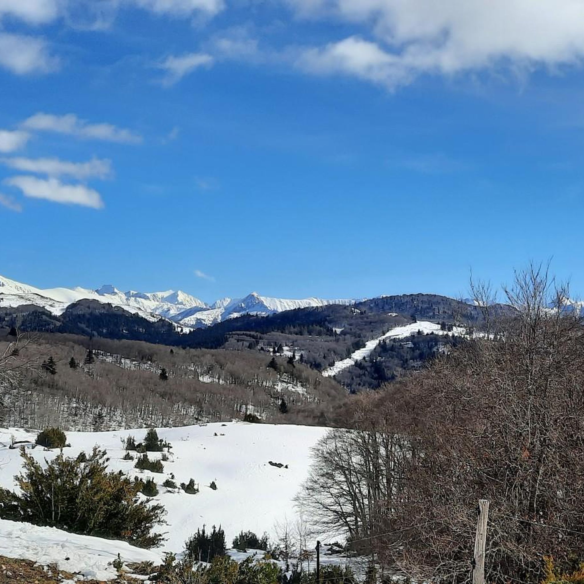
Road Cycling Routes around Montségur
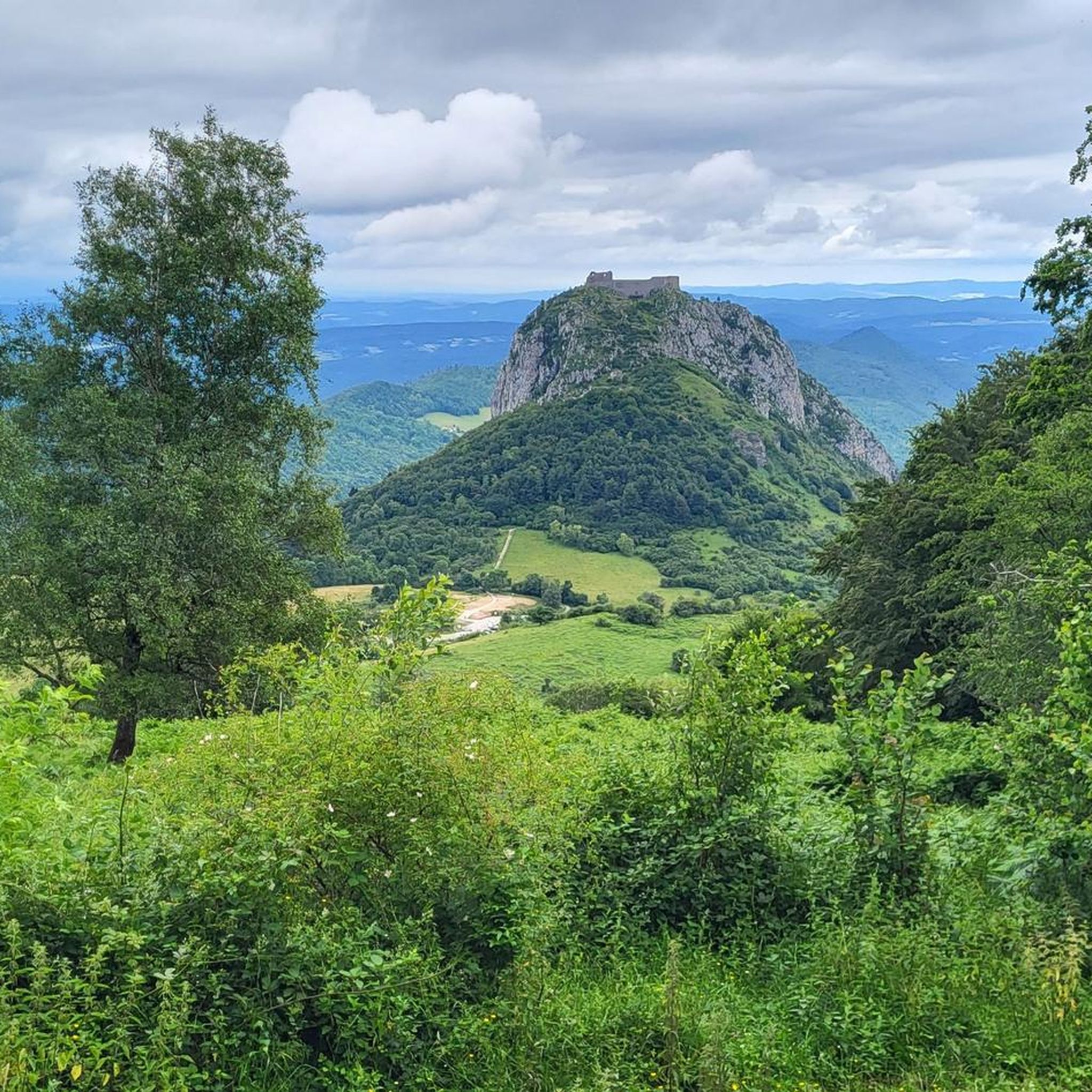
Cycling around Montségur
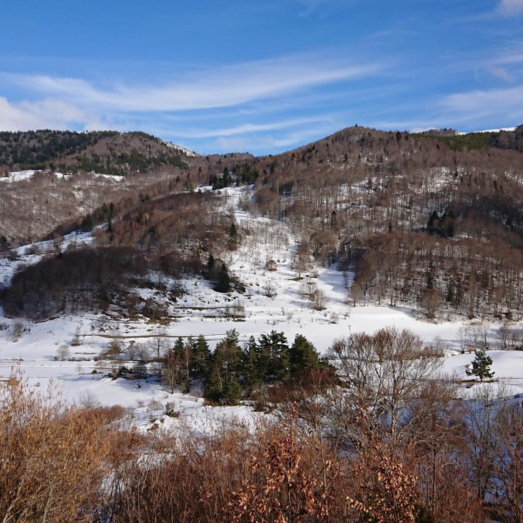
Running Trails around Montségur
MTB Trails around Montségur

Gravel biking around Montségur
Other adventures around Montségur


Tips from the Community

The Col de Marmare-Chioula is an 18.6-kilometer long Category 1 pass. It is located in Luzenac.
16
0
The Col de Marmare from Luzenac is a climb in the Ariège region. It is 16.8 kilometers long and climbs 828 meters.
0
0
The Col du Chioula from Prades is a climb in the Ariège region. It is 2.3 kilometers long and climbs 72 meters.
0
0
The Croix des 7 Frères is a small, inconspicuous summit and the start of a nice ride in the area.
17
0
1253 meters high, you can reach it via asphalt or gravel road
6
0

Short but difficult, plus the heat...I had raindrops 🥵
0
0

very nice pass, first 5 km a little difficult but nothing more, then very smooth and very beautiful view
0
0

Beautiful view of the heights, continuing the road we have beautiful landscapes!
0
0
Frequently Asked Questions
What are some notable mountain passes to explore near Montségur?
Beyond the most popular, you can explore Col des Sept Frères, a pass at 1,253 meters known for its pleasant and panoramic road. Another option is Pas de Souloumbrie, which offers magnificent views and is a great alternative to the busy valley road between Ax and Tarascon.
What kind of natural features can I expect to see around the mountain passes?
The region is rich in natural beauty. Passes like La Lauze Pass offer stunning views across to Roquefixade and transition from river valleys to forests. The area also features deep blue lakes, rhododendrons, fir trees, and diverse wildlife such as chamois (isards), deer, and birds of prey, especially around the prominent peaks of Pic of Saint-Barthélémy and Peak of Soularac.
Are there challenging routes for experienced cyclists or hikers?
Yes, the region offers challenging routes. Col de Marmare (1361 m), also known as Col de Marmare-Chioula, is an 18.6-kilometer long Category 1 pass, providing a demanding ascent for cyclists. For hikers, the trek to Pic of Saint-Barthélémy (2,348 m) and Peak of Soularac (2,368 m) is a challenging 5.5-hour journey through rocky slopes.
What is the best time of year to visit the mountain passes around Montségur?
The best time to visit is generally during warmer months when the passes are clear of snow. The region's mountain heathlands are adorned with gentians, holly, and mountain ash, making spring and summer particularly scenic. Winter can bring snowstorms, as historically noted at Col des Sept Frères, making some routes challenging or inaccessible.
Are there any cafes or places to eat near the mountain passes?
Yes, if you're exploring Col du Chioula, you can stop at La Marmotte for a blueberry pie. The small towns in the area, such as those near Pas de Souloumbrie, also offer an abundance of nice patisseries.
What kind of historical significance do the mountain passes hold?
The region around Montségur is known for its historical significance. While the passes themselves are primarily natural features, the area is steeped in history. For example, Col des Sept Frères is named after a historical event where seven brothers froze to death in a snowstorm, adding a poignant layer to its natural beauty.
Can I find hiking trails near these mountain passes?
Absolutely. The Montségur region offers numerous hiking opportunities. You can find various mountain hikes, including difficult routes like the 15.2 km "Étang de Moulzoune – Étang du Diable loop" or moderate options such as the 1.9 km "View of Montségur – Montségur Castle loop." For more details, explore the Mountain Hikes around Montségur guide and the Hiking around Montségur guide.
Are there road cycling routes that incorporate these mountain passes?
Yes, the mountain passes around Montségur are popular for road cycling. You can find challenging routes such as the 81.7 km "Roquefixade view – La Lauze Pass loop from Lavelanet" or the extensive 184.1 km "Col du Chioula – Pailhères Pass loop from Montségur." Discover more options in the Road Cycling Routes around Montségur guide.
What are some of the best viewpoints from the mountain passes?
Many passes offer exceptional panoramic views. La Lauze Pass provides stunning vistas across to Roquefixade. Pas de Souloumbrie is noted for its magnificent views, including castle views. The Peyre Pass offers views of the Frau mountain and the twin peaks of Soularac and Saint-Barthélémy.
What is the terrain like on the mountain passes near Montségur?
The terrain varies, offering a mix of challenges and scenic beauty. You'll find asphalt and gravel roads, forest-covered sections, and open mountain heathlands. Climbs can be significant, as seen with Col de Marmare (1361 m), which is an 18.6-kilometer Category 1 pass. Descents can be fast and winding, providing an adventurous experience.
Are there any specific tips for navigating the passes?
When ascending La Lauze Pass from the west, you'll experience a 15km climb transitioning from river to forest. For Pas de Souloumbrie, it's recommended as an essential road segment, offering a safer and more scenic alternative to the N20. Always be prepared for varying conditions, especially during descents.
Most popular routes around Montségur
Most popular attractions around Montségur

Get inspired with the komoot mobile app


Explore more
See even more epic mountain passes by checking out these guides around Montségur:
