The best walks and hikes around Ville-Le-Marclet
4.5
(152)
795
hikers
69
hikes
Hiking around Ville-Le-Marclet offers access to the diverse landscapes of the Somme Valley and the Nièvre river. The region features a gently undulating terrain, with altitudes ranging from 17 meters to 113 meters. This area is characterized by flat, often flooded valley bottoms, fens, and marshlands, providing a unique environment for exploration. The presence of the Somme and Nièvre rivers creates opportunities for waterside walks and appreciation of riverine scenery.
Best hiking trails around Ville-Le-Marclet
- The most popular hiking route…
Last updated: July 2, 2026
4.3
(4)
23
hikers
6.53km
01:39
10m
10m
Easy hike. Great for any fitness level. Easily-accessible paths. Suitable for all skill levels.
4.7
(3)
28
hikers
5.45km
01:23
10m
10m
Easy hike. Great for any fitness level. Easily-accessible paths. Suitable for all skill levels.

Sign up for free
4.0
(2)
26
hikers
Easy hike. Great for any fitness level. Easily-accessible paths. Suitable for all skill levels.
5.0
(2)
8
hikers
6.58km
01:48
100m
100m
Easy hike. Great for any fitness level. Easily-accessible paths. Suitable for all skill levels.
5.0
(2)
15
hikers
12.6km
03:12
20m
20m
Moderate hike. Good fitness required. Easily-accessible paths. Suitable for all skill levels.
Get access to more routes and recommendations from other explorers.
Sign up for free
Already have an account?
Our route recommendations are based on thousands of hikes, rides, and runs completed by other people on komoot.
Start today with a free account
Your next adventure awaits.
Login or Signup


Tips from the Community

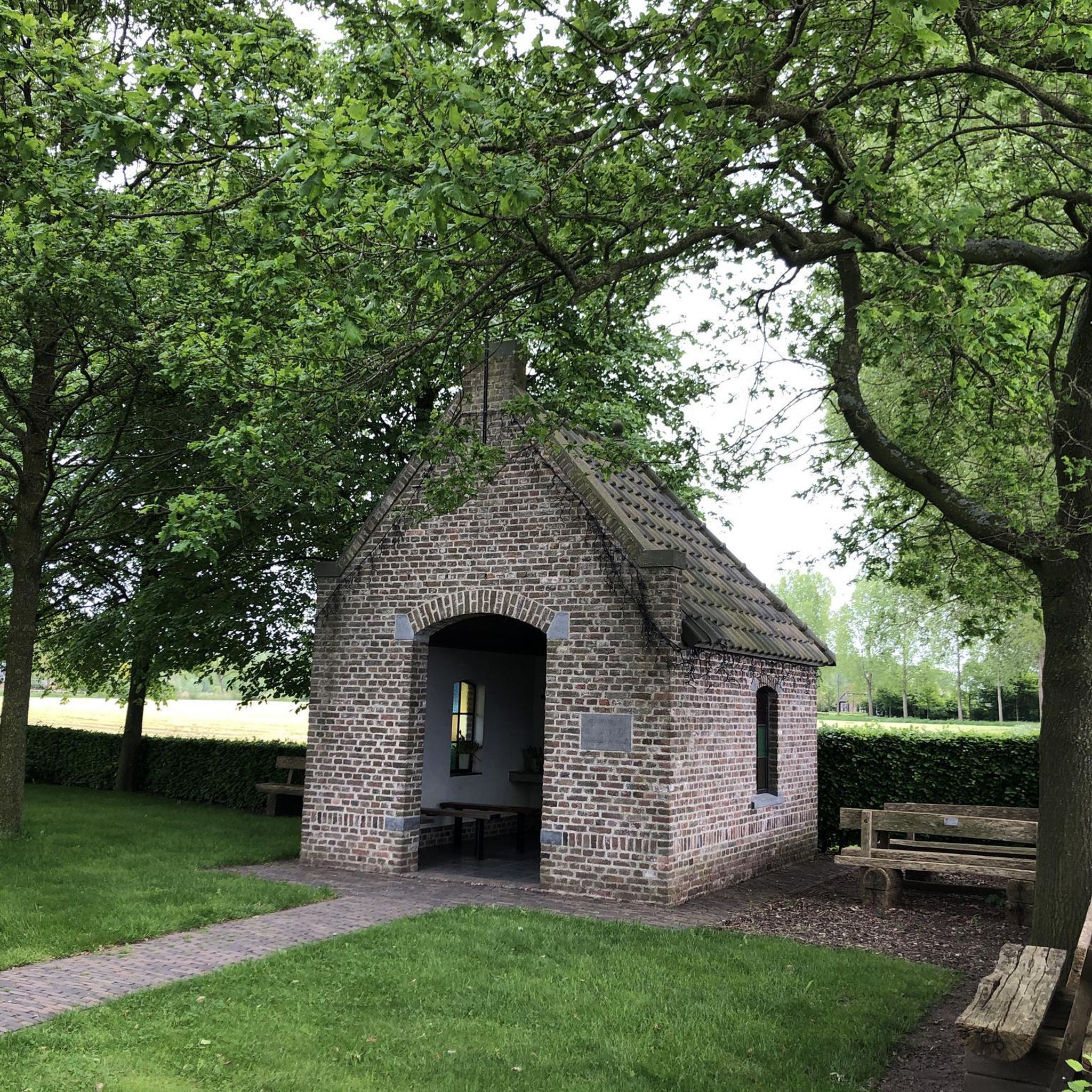
Not far from here (1.2 km), on the outskirts of Bourdon, there is a large military cemetery for German soldiers who fell here on the Somme in heavy fighting (including the Battle of Abbeville in early June 1940).
2
0

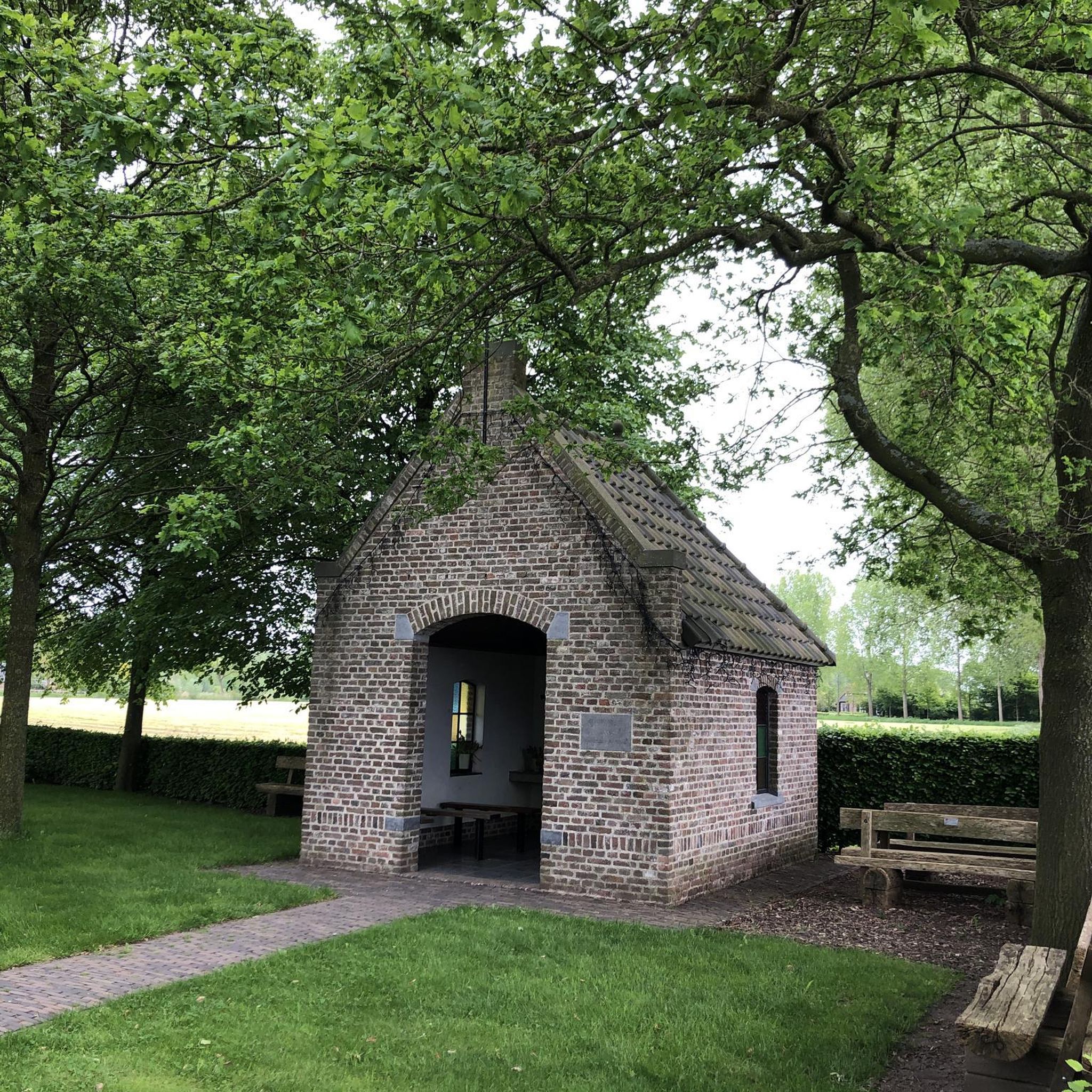
At this picnic area by the canal, you can relax and admire the landscape.
4
0
The Marais des Cavins is a 22-hectare natural site which is home to a variety of habitats, plants and animals. You can explore wetlands, floating rafts, wooded areas and ponds, where you may be able to spot the rare great bittern or water fern. The Marais des Cavins is also a place of cultural interest, with this plan which inspired the novel En Famille by Hector Malot, the story of a young orphan who lives with her grandparents in the marsh. Enjoy the beauty and tranquility of this unique ecosystem in the heart of the Somme valley.
2
0
Frequently Asked Questions
How many hiking trails are available around Ville-le-Marclet?
There are over 70 hiking routes available around Ville-le-Marclet, catering to various skill levels. You'll find 28 easy trails, 41 moderate options, and 1 challenging route, ensuring there's something for every hiker.
What kind of terrain can I expect on hikes near Ville-le-Marclet?
The terrain around Ville-le-Marclet is characterized by the picturesque Somme Valley and the Nièvre river. You can expect a gently undulating landscape, with altitudes ranging from 17 to 113 meters. Many routes feature flat, often flooded valley bottoms, fens, and marshlands, offering unique waterside walks and riverine scenery.
Are there any family-friendly hiking options in the area?
Yes, Ville-le-Marclet offers several easy routes suitable for families. For instance, the Marais des Cavins — loop from Hangest-sur-Somme is an easy 6.5 km trail exploring local marshlands, perfect for a leisurely family outing. Another great option is the Picnic Area by the Canal – Picnic loop from Hangest-sur-Somme, a 5.4 km easy route through the canal area.
What are some notable natural features or landmarks to look out for on the trails?
The region is rich in natural beauty and historical sites. You'll often encounter the Somme Valley itself, with its diverse landscapes. Along some routes, you might spot the Long Hydroelectric Power Plant, explore areas Around Long Lock, or discover the serene Étangs de la Barette. The historic Long Castle is also a significant landmark in the vicinity.
Are there any long-distance hiking trails accessible from Ville-le-Marclet?
Yes, Ville-le-Marclet provides access to sections of the renowned GR800, also known as the Somme River Trail. This extensive 227-kilometer itinerary follows the Somme Valley from its source to its mouth, offering discoveries of magnificent landscapes, cultural heritage, and diverse scenery from bucolic valleys to protected marshes. You can find more information about the GR800 on the Somme Tourisme website.
What do other hikers enjoy most about hiking in Ville-le-Marclet?
The hiking routes around Ville-le-Marclet are highly regarded by the komoot community, with an average score of 4.6 stars from over 130 reviews. Hikers often praise the peaceful waterside walks along the Somme and Nièvre rivers, the unique marshland environments, and the variety of easy to moderate trails that allow for immersive nature experiences.
Are there any circular walks available?
Yes, many of the trails around Ville-le-Marclet are designed as circular routes. For example, the Marais des Cavins — loop from Hangest-sur-Somme and the Long Castle – The Somme River loop from Longpré-les-Corps-Saints are both popular circular options, allowing you to start and end at the same point.
What is the best time of year to go hiking in Ville-le-Marclet?
The Somme Valley, where Ville-le-Marclet is located, offers pleasant hiking conditions throughout much of the year. Spring and autumn provide mild temperatures and beautiful scenery, with blooming flora or vibrant fall colors. Summer is also suitable, especially for waterside walks, though it can be warmer. The flat, often flooded valley bottoms mean that some areas might be wetter during periods of heavy rain, so checking local conditions is always advisable.
Can I find trails that follow the Somme River?
Absolutely. The Somme River is a defining feature of the region, and many trails run alongside it. The Long Castle – The Somme River loop from Longpré-les-Corps-Saints is a moderate 14.2 km path that directly follows the Somme River, offering excellent views of the valley and its unique riverine landscape.
Are there any cultural or historical sites near the hiking trails?
Beyond the natural beauty, the region offers historical insights. The GR800 trail, for instance, not only showcases natural landscapes but also passes through charming villages and areas with cultural heritage. The nearby Samara Natural and Archaeological Park, about 10 km from Ville-le-Marclet, combines history with natural beauty, featuring an arboretum and wetlands, allowing visitors to learn about prehistoric life while enjoying the surroundings.
What are the options for easy hikes around Ville-le-Marclet?
For those seeking easier walks, there are 28 easy routes available. Besides the popular Marais des Cavins — loop from Hangest-sur-Somme, you can also explore the Marais des Cavins – Picnic loop from Hangest-sur-Somme, a shorter 3.9 km easy route. Another gentle option is the Saint-Léger Church loop from Saint-Léger-lès-Domart, which is 6.5 km and also rated easy.
Most popular routes around Ville-Le-Marclet
Most popular attractions around Ville-Le-Marclet

Get inspired with the komoot mobile app


Explore more
Browse the best Hikes in other regions.
