The best road cycling routes around Saint-Thierry
4.3
(241)
8,914
riders
403
rides
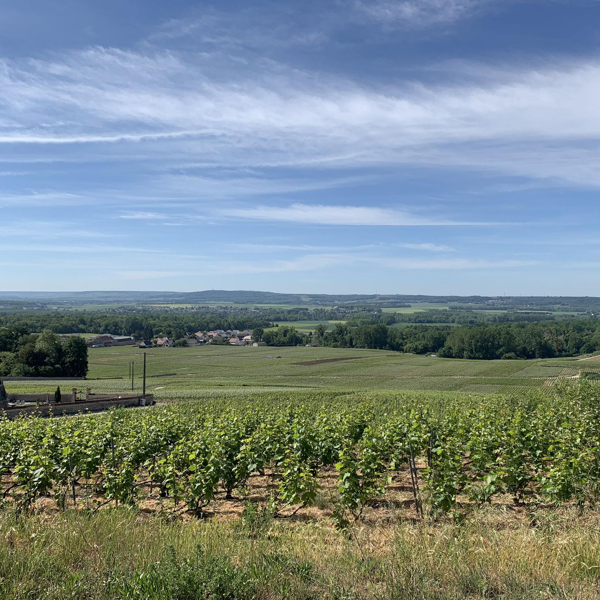
Road cycling routes around Saint-Thierry offer diverse terrain across the Marne department of north-eastern France. The region is characterized by the Massif de Saint-Thierry, featuring extensive vineyards and forests that provide varied elevations. Cyclists encounter a mix of paved roads and quieter sections, with some routes including challenging ascents and panoramic views over the Champagne valley and Reims.
Best road cycling routes around Saint-Thierry
- The most popular road cycling route is Hermonville – Col de Chenay loop from Ancienne Gare…
Last updated: June 27, 2026
5.0
(1)
74
riders
57.4km
02:35
480m
480m
Moderate road ride. Good fitness required. Mostly well-paved surfaces and easy to ride.
3.0
(3)
33
riders
43.3km
01:50
270m
270m
Easy road ride. Great for any fitness level. Mostly well-paved surfaces and easy to ride.

Sign up for free
23
riders
21.5km
01:01
100m
100m
Easy road ride. Great for any fitness level. Mostly well-paved surfaces and easy to ride.
13
riders
16.5km
00:46
210m
210m
Easy road ride. Great for any fitness level. Mostly well-paved surfaces and easy to ride.
9
riders
Moderate road ride. Great for any fitness level. Some segments of this route may be unpaved and difficult to ride.
Get access to more routes and recommendations from other explorers.
Sign up for free
Already have an account?
Our route recommendations are based on thousands of hikes, rides, and runs completed by other people on komoot.
Start today with a free account
Your next adventure awaits.
Login or Signup


Tips from the Community

The path is more suitable for cycling than for hiking.
0
0

While staying on the asphalt, you can cover more than 24 km. From the St. Brice Courcelles side, you can go up to La Neuvillette, then to Courcy, it's an unpaved road (passable but not for road bikes). After Courcy, there's asphalt up to Berry au Ferry (this allows you to discover the Sapigneul Owl, about 150 m on dirt road). On the other side, after Sillery, you can continue to Beaumont (asphalt). Then, on a dirt road passable by mountain bike, you can go to the Billy Arch, where the canal passes through a tunnel.
0
0

A green vein of peace and movement that stretches for 24 kilometres along the Aisne-Marne canal. Once an old towpath, now a lively promenade for walkers, cyclists and nature lovers. This green corridor winds through Reims, connecting city life with nature, passing historic sites such as the old bathhouses, Port Colbert and charming parks. An unexpected oasis in the heart of the Champagne capital, where history, sport and relaxation come together.
8
0
On the other side of the bank is the cycle path along which the V30 (Véloroute de la Somme à la Marne) runs.
8
0

This beautiful church is well maintained and full of flowers in spring.
0
0
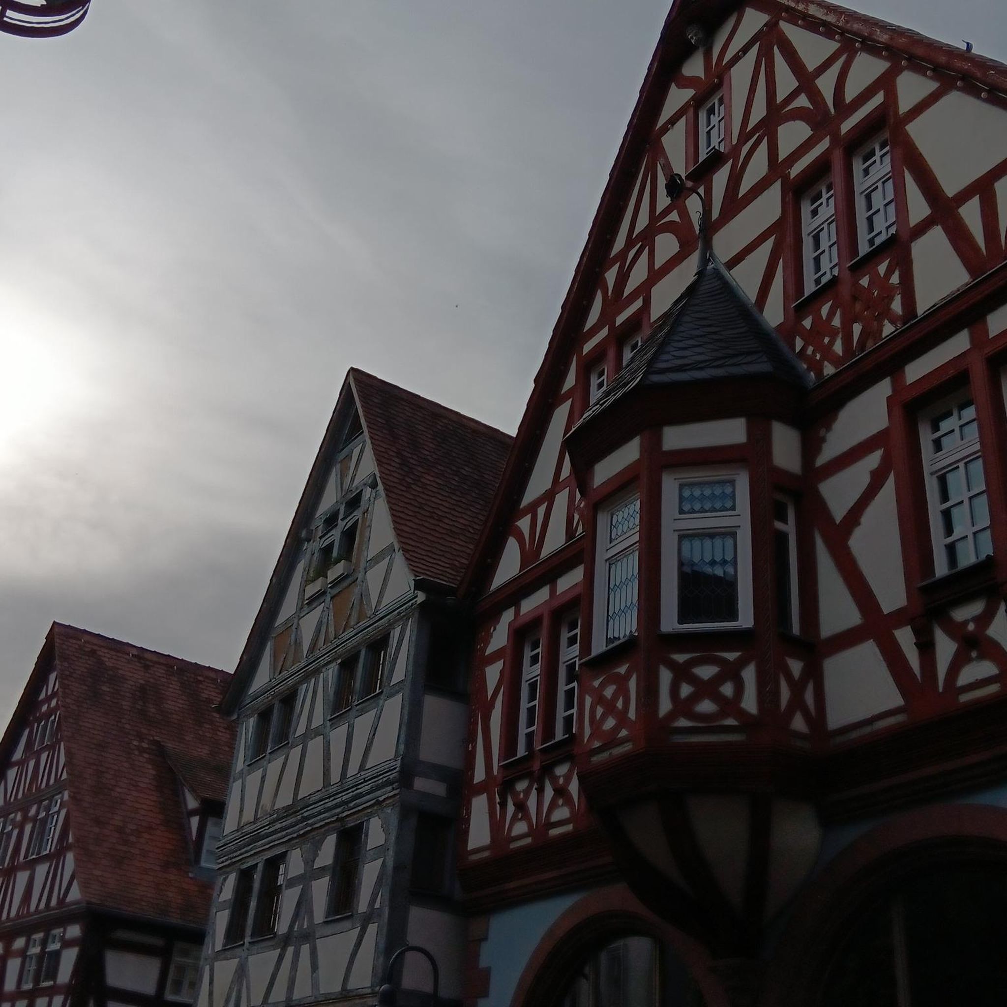
Very beautiful house for architecture lovers.
0
0
For cyclists who like climbs, you can leave from Muizon and enjoy 4% slopes over 4 km with the added bonus of a passage through two timeless villages. A cross in tribute to the fighters of the First World War serves as the highest point of the pass.
0
0
Chenay is a village steeped in traditions, narrow cobbled streets, stone houses, a wash house; a gourmet restaurant completes the charm of this village perched on a hill. You can also admire the Champagne valley with its vineyards and the city of Reims in the distance.
0
0
Frequently Asked Questions
What kind of terrain can I expect when road cycling around Saint-Thierry?
The region offers a diverse mix of terrain, characterized by the Massif de Saint-Thierry. You'll find extensive vineyards and dense forests, with routes featuring both paved roads and quieter sections. Expect varied elevations, including some challenging ascents, providing both scenic beauty and engaging climbs.
Are there routes suitable for different fitness levels in Saint-Thierry?
Yes, Saint-Thierry provides road cycling options for various fitness levels. While most routes are rated as moderate, offering significant climbs and distances, there are also options that cater to those looking for a good workout. For example, the Church 💒 – Church of Neufchâtel-sur-Aisne loop from Ancienne Gare Les Maretz has a more modest elevation gain compared to others.
What are some notable landmarks or attractions I can see along the road cycling routes?
Many routes offer panoramic views over the Champagne valley and the city of Reims. You can also find historical sites nearby. For instance, the region is close to Reims, where you can explore the Place Royale, the Subé fountain, or the ancient Mars Gate. The historic Saint-Thierry Abbey also offers magnificent views over Reims.
Are there any challenging road cycling routes for experienced cyclists?
Yes, Saint-Thierry offers routes with significant climbs that will challenge experienced cyclists. For example, the Hermonville – Hermonville loop from Ancienne Gare Les Maretz features nearly 750 meters of elevation gain over 52.9 km, providing a demanding ride through varied terrain.
What natural features define the road cycling experience in Saint-Thierry?
The road cycling experience is largely defined by the Massif de Saint-Thierry, which is characterized by its extensive vineyards and dense forests. You'll cycle through a green expanse with varied elevations, offering beautiful scenery. The region is also home to the Regional Natural Reserve of the Marshes and Quarries, a unique ecosystem of marshes, sandy grasslands, and forests.
What do other road cyclists enjoy most about the routes in Saint-Thierry?
The routes in Saint-Thierry are highly rated by the komoot community, with an average score of 4.1 stars from over 90 reviews. Cyclists often praise the stunning vineyard and forest landscapes, the varied terrain, and the panoramic views over the Champagne valley and Reims.
How many road cycling routes are available around Saint-Thierry?
There are over 10 road cycling routes available around Saint-Thierry, offering a range of distances and elevations to explore the picturesque landscapes of the Marne department.
Can I find long-distance road cycling routes in the area?
Absolutely. For those looking for longer rides, routes like the Hermonville – Vauclair Abbey loop from Reims cover nearly 95 km, allowing you to explore the wider region and enjoy extensive views of the Champagne valley.
What is the best time of year to go road cycling in Saint-Thierry?
The region is generally pleasant for road cycling from spring through autumn. These seasons offer favorable weather for enjoying the vineyards and forests, with vibrant colors in spring and autumn, and warmer temperatures in summer. Always check local weather conditions before heading out.
Are there any road cycling routes that offer views of Reims?
Yes, many cycling routes provide panoramic vistas, including views over the Champagne valley and the city of Reims in the distance. The terraced gardens of Saint-Thierry Abbey, a historical landmark, also offer a magnificent panorama over Reims, making it a worthwhile stop during your ride.
Is it possible to access road cycling routes using public transport?
Saint-Thierry is located just 7 km from Reims, a city with good public transport connections. Cyclists can often use Reims as a starting point, potentially combining public transport to reach the city and then cycling out to the routes in the Massif de Saint-Thierry.
Where can I find parking for road cycling routes in Saint-Thierry?
While specific parking areas for each route are not detailed, many routes, such as those starting from 'Ancienne Gare Les Maretz', imply accessible starting points. When planning your ride, it's advisable to check the specific route details on komoot for suggested parking locations near the trailheads.
Most popular routes around Saint-Thierry
Most popular attractions around Saint-Thierry

Get inspired with the komoot mobile app


Explore more
Browse the best Road cycling routes in other regions.
