The best running trails around Saint-Cyr-La-Roche
3.4
(12)
671
runners
63
runs
Jogging around Saint-Cyr-La-Roche offers access to the natural landscapes of the Limousin region, characterized by green expanses and woodlands. The area provides numerous trails suitable for running, with varied terrains and peaceful surroundings. The nearby Vézère River also suggests potential scenic routes along its banks. This rural setting is conducive to outdoor activities, including running.
Best jogging routes around Saint-Cyr-La-Roche
- The most popular jogging route is Rocher du Chalard – Balcon du Saillant loop from Le Puy, a 25.0…
Last updated: July 13, 2026
92
runners
40.3km
05:05
1,100m
1,100m
Hard run. Very good fitness required. Sure-footedness, sturdy shoes and alpine experience required.
36
runners
12.1km
01:31
320m
320m
Hard run. Very good fitness required. Mostly paved surfaces. Suitable for all skill levels.

Sign up for free
3.7
(3)
28
runners
5.20km
00:35
20m
20m
Moderate run. Good fitness required. Mostly paved surfaces. Suitable for all skill levels.
24
runners
38.3km
04:35
950m
950m
Hard run. Very good fitness required. Sure-footedness, sturdy shoes and alpine experience required.
16
runners
19.2km
02:20
510m
510m
Hard run. Very good fitness required. Mostly paved surfaces. Suitable for all skill levels.
Get access to more routes and recommendations from other explorers.
Sign up for free
Already have an account?
Our route recommendations are based on thousands of hikes, rides, and runs completed by other people on komoot.
Start today with a free account
Your next adventure awaits.
Login or Signup



Tips from the Community

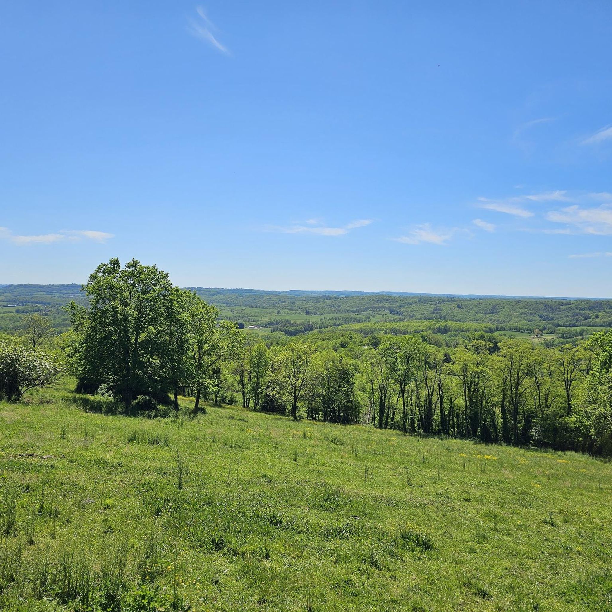
From here, you can access the Saillant platform, which offers an exceptional view of the Vézère gorges. Continuing on, amidst the rocks, you will also find a bouldering course and a via ferrata.
0
0

Superb point of view, the area is quite demanding in terms of elevation gain
1
0
Superb view after a hilly climb! View of the beautiful nature of Corrèze. Beautiful hiking trails or trails to do nearby
0
0
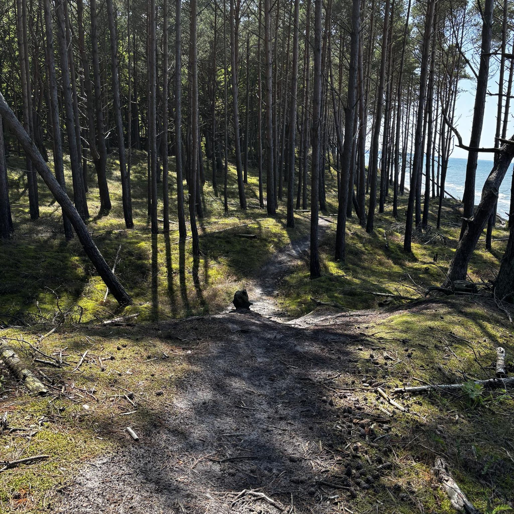
Nice little calm body of water. Perfect for a snack break during a hike!
2
0

Nice spot between the farms. With a small stream and bright flowers.
1
0
beautiful view over the gorge with the Vézère
0
0
Frequently Asked Questions
How many running routes are available around Saint-Cyr-La-Roche?
There are over 60 running routes around Saint-Cyr-La-Roche. This includes 4 easy routes, 42 moderate routes, and 20 difficult routes, offering options for all fitness levels.
Are there easy running paths suitable for beginners or a relaxed jog?
Yes, Saint-Cyr-La-Roche offers 4 easy running routes. For a relatively flat and pleasant run, consider the Running loop from Prés de Lombertie, which is 6.5 km long with minimal elevation gain, perfect for a gentle jog.
What kind of terrain can I expect on the running trails in Saint-Cyr-La-Roche?
The region around Saint-Cyr-La-Roche, within Limousin, is characterized by diverse natural landscapes. You can expect green expanses, woodlands, and varied terrains. The proximity to the Vézère River also suggests scenic routes along its banks, offering a mix of natural beauty for your runs.
Can I find routes with significant elevation for a challenging run?
Absolutely. For those seeking a challenge, there are 20 difficult running routes in the area. A prime example is the Rocher du Chalard – Balcon du Saillant loop from Le Puy, a 40.3 km trail with over 1100 meters of elevation gain, providing a demanding workout through varied terrain.
What do other runners enjoy the most about jogging in Saint-Cyr-La-Roche?
The running routes in Saint-Cyr-La-Roche are highly rated by the komoot community, with an average score of 3.4 stars from more than 10 reviews. Runners often praise the peaceful surroundings, the natural beauty of the Limousin region, and the variety of trails available for different skill levels.
Are there any scenic running routes with viewpoints or landmarks?
Yes, many routes offer scenic views and pass by interesting landmarks. The View from Rocher du Chalard – Saillant Bridge loop from Voutezac is a difficult 23.4 km path that provides stunning views from Rocher du Chalard and crosses the historic Saillant Bridge. You might also encounter highlights like the Château de Saillant or the Saillant Chapel with its Marc Chagall Stained Glass Windows along some trails.
Are there any circular running routes available?
Many of the running routes around Saint-Cyr-La-Roche are designed as loops, allowing you to start and finish at the same point. For instance, the Balcon du Saillant loop from Le Puy is a 22.3 km trail that offers a complete circular experience through the scenic Balcon du Saillant area.
What are some interesting places to explore near the running trails?
Beyond the trails, the area offers several points of interest. You could visit the Church of the Transfiguration of Our Lord, the historic Château de Saillant, or the unique Saillant Chapel. There's also an Old mine and a Stone Cross Memorial to discover, adding cultural depth to your outdoor adventure.
Are the running routes around Saint-Cyr-La-Roche suitable for families?
While specific 'family-friendly' designations aren't always explicit, the 4 easy routes available are generally suitable for families looking for a less strenuous outdoor activity. These paths typically have gentler gradients and shorter distances, making them more accessible for all ages.
Is there parking available near the trailheads?
Given the rural nature of Saint-Cyr-La-Roche and the surrounding Limousin region, parking is generally available near popular trailheads or in the villages themselves. It's advisable to check specific route details on komoot for precise parking information for your chosen running path.
What is the best time of year to go running in Saint-Cyr-La-Roche?
The Limousin region, with its green expanses and woodlands, is generally pleasant for running from spring through autumn. Spring offers blooming nature, while autumn provides beautiful foliage. Summer can be warm, so early morning or late afternoon runs are often preferred. Winter running is possible, but trails might be wet or muddy.
Are there any running routes that follow the Vézère River?
The Vézère River is located approximately 5.2 km from Saint-Cyr-La-Roche. Rivers and their banks often provide relatively flat and scenic routes ideal for running. While specific routes directly along the Vézère are not detailed in the main guide, the presence of the river strongly suggests possibilities for picturesque riverside jogs in the wider area.
Most popular routes around Saint-Cyr-La-Roche
Most popular attractions around Saint-Cyr-La-Roche

Get inspired with the komoot mobile app


Explore more
Browse the best Running Trails & Routes in other regions.
