The best running trails around Fentsch
4.1
(49)
4,333
runners
248
runs
Jogging routes Fentsch primarily follow the Fensch River, a 15.2-kilometer-long tributary of the Moselle in France. The region is characterized by its riverbanks, green spaces, and passage through several communes like Fontoy, Knutange, and Hayange. The terrain is generally flat along the river, with some routes incorporating gentle elevation changes as they move away from the immediate riverside. This landscape provides varied opportunities for running, from leisurely riverside paths to more challenging trails.
Best jogging routes around Fentsch
- The most…
Last updated: September 30, 2026
43
runners
10.5km
01:05
50m
50m
Moderate run. Good fitness required. Mostly paved surfaces. Suitable for all skill levels.
34
runners
9.48km
00:59
50m
50m
Moderate run. Good fitness required. Mostly paved surfaces. Suitable for all skill levels.

29
runners
8.23km
00:53
130m
130m
Moderate run. Good fitness required. Mostly paved surfaces. Suitable for all skill levels.
32
runners
18.8km
02:25
450m
450m
Hard run. Very good fitness required. Mostly paved surfaces. Suitable for all skill levels.
5.0
(1)
21
runners
14.6km
01:52
310m
310m
Hard run. Very good fitness required. Mostly paved surfaces. Suitable for all skill levels.
Get access to more routes and recommendations from other explorers.
Already have an account?
Our route recommendations are based on thousands of hikes, rides, and runs completed by other people on komoot.
Start today with a free account
Your next adventure awaits.
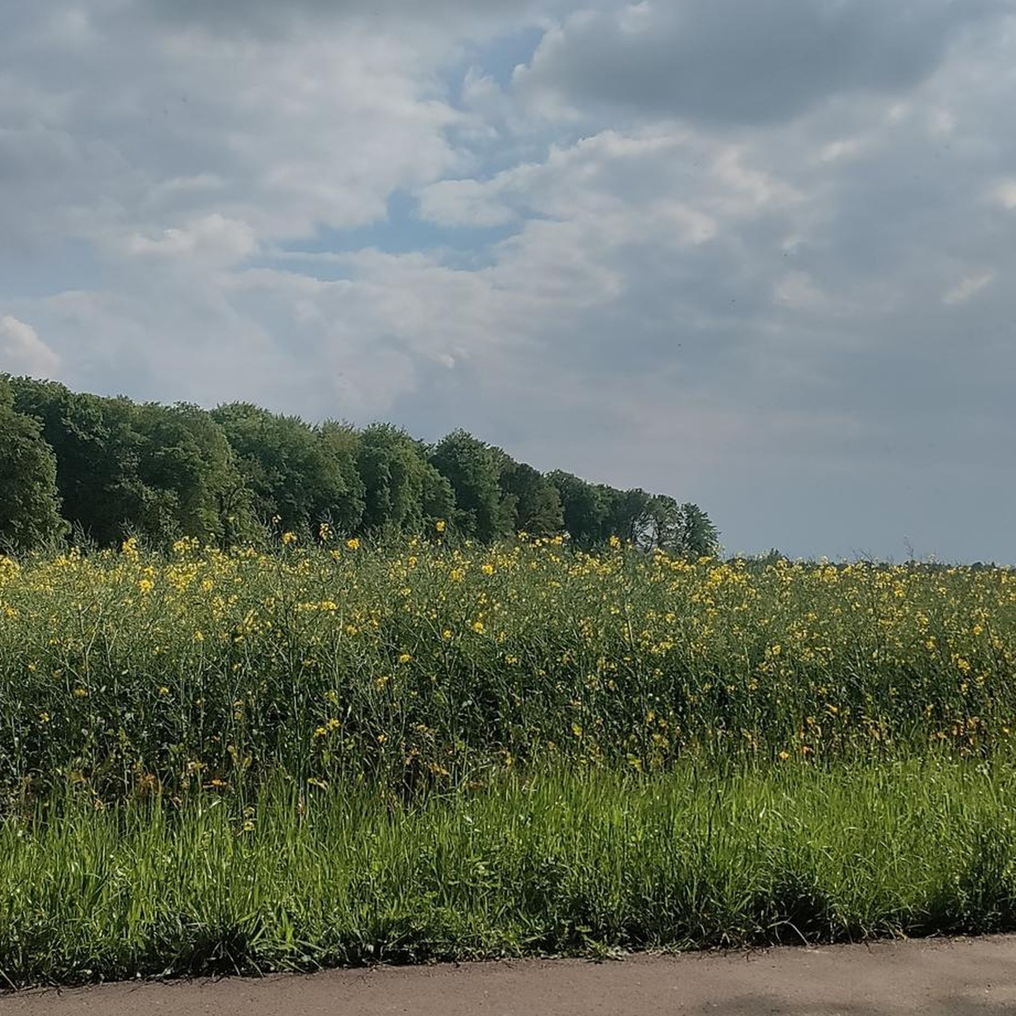
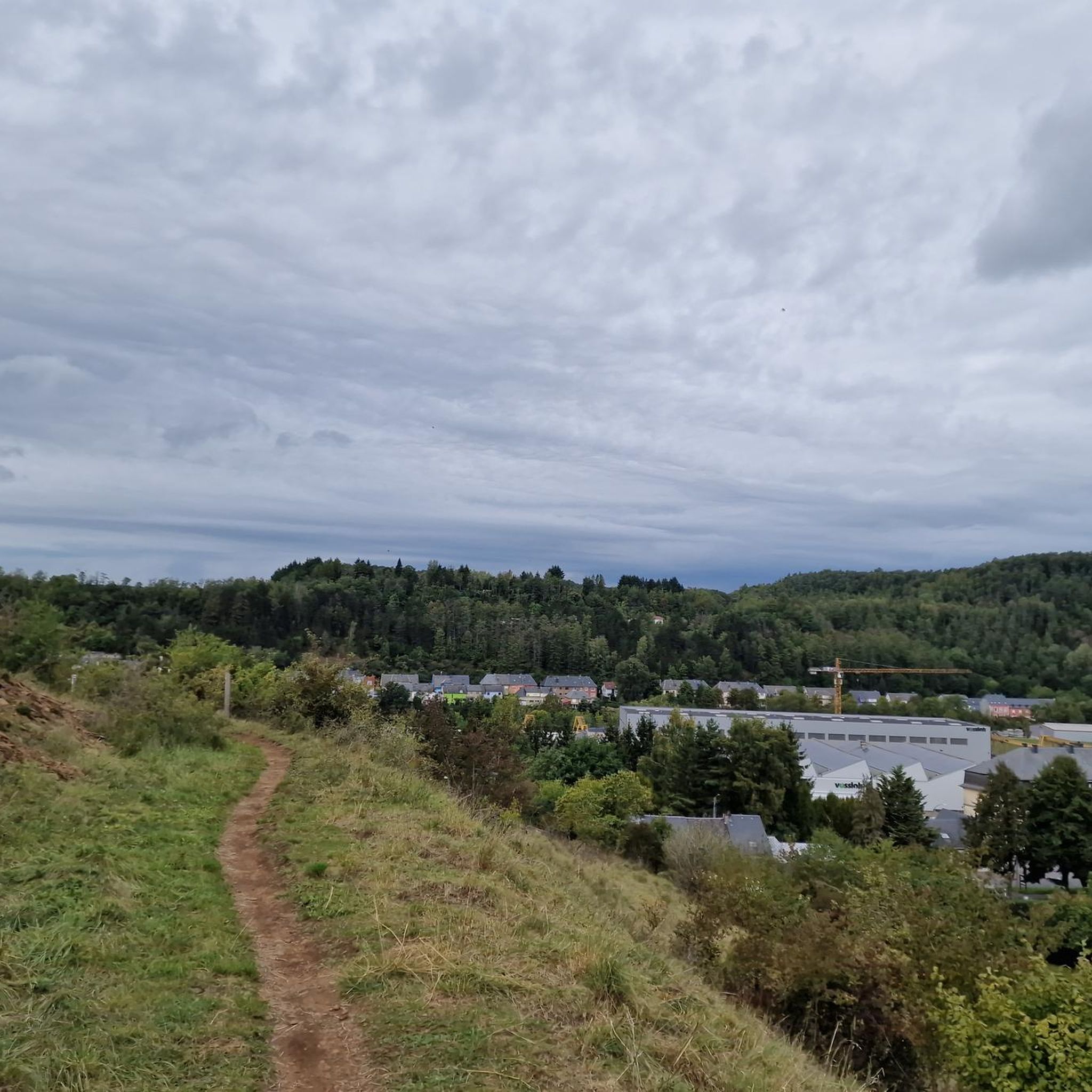
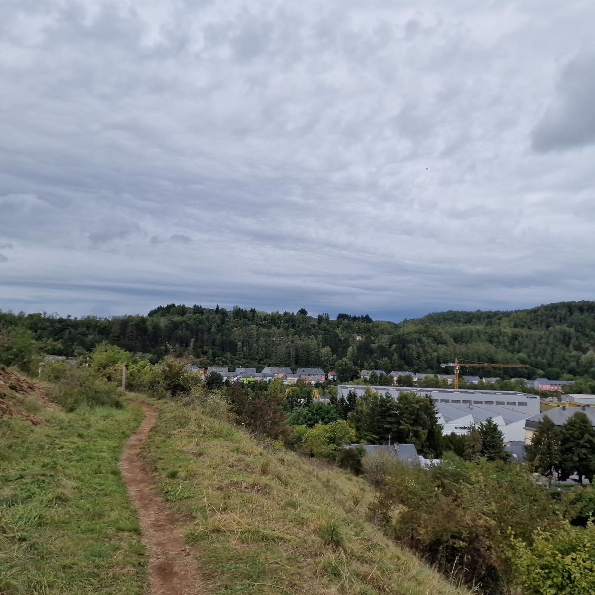
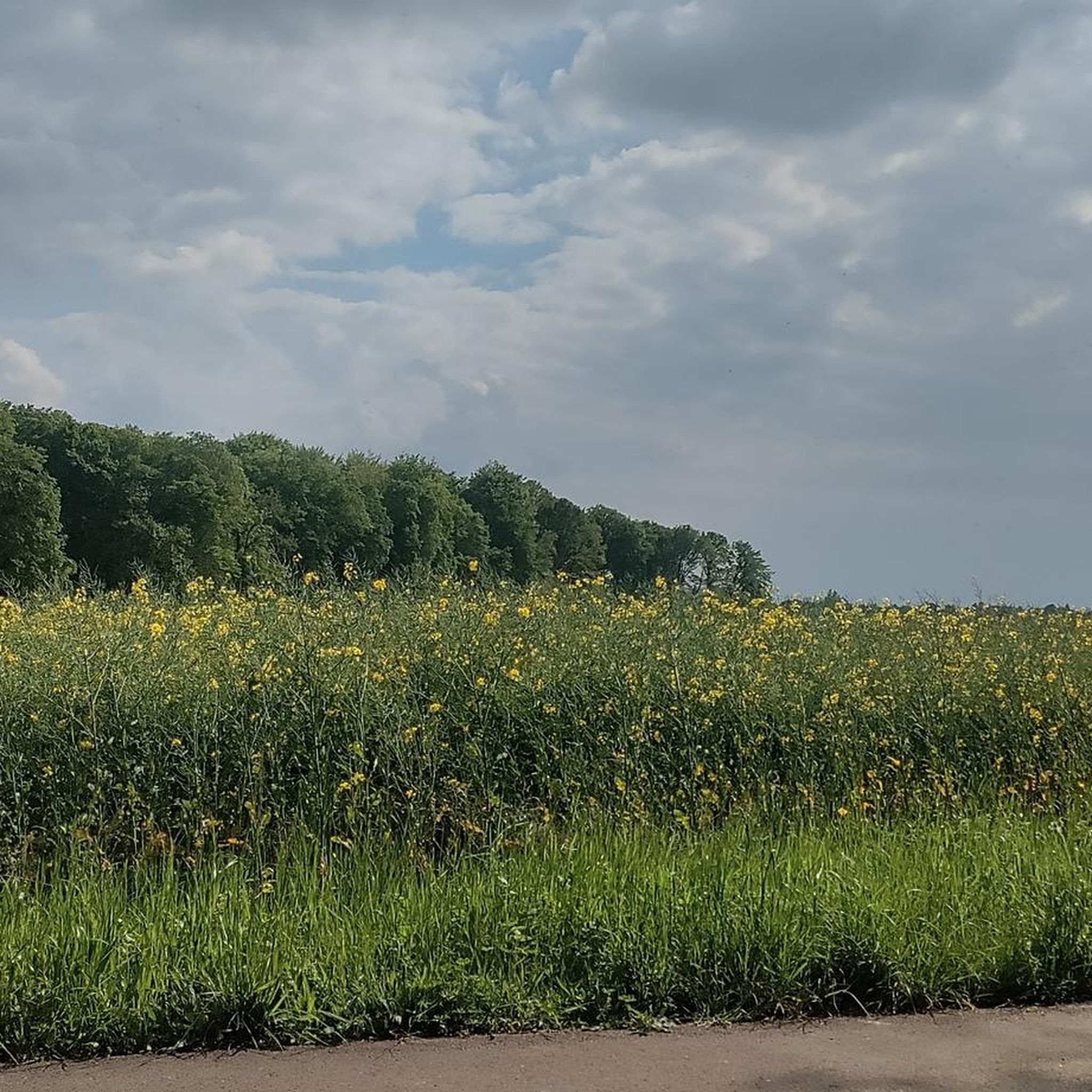
Tips from the Community


beautiful, well-maintained cycle path
1
1
Frequently Asked Questions
How many running routes are available in the Fentsch area?
There are over 280 running routes around Fentsch, offering a wide variety of options for all skill levels. The komoot community has explored these trails over 4000 times, highlighting their popularity.
What kind of terrain can I expect on jogging routes around Fentsch?
The jogging routes in Fentsch primarily follow the Fensch River, a tributary of the Moselle in France. This means you'll find generally flat terrain along the riverbanks, ideal for leisurely runs. However, some routes venture away from the immediate riverside, incorporating gentle to significant elevation changes, offering more challenging options.
Are there easy running trails suitable for beginners in Fentsch?
Yes, Fentsch offers around 20 easy running routes, perfect for beginners or those looking for a relaxed jog. These trails typically feature minimal elevation gain and follow the flatter sections along the Fensch River.
Can I find challenging running routes with significant elevation in Fentsch?
Absolutely. For runners seeking a challenge, there are 65 difficult routes available. An example is the Chapel of the Holy Snow loop from Knutange, a 20.8 km trail with nearly 500 meters of elevation gain, taking about 2 hours 41 minutes to complete.
Are there any circular running routes in Fentsch?
Many of the running routes in Fentsch are circular, allowing you to start and end at the same point. Popular examples include the Fort loop from Havange and the Gros Bois loop from Angevillers, both offering scenic circular paths.
What are some interesting landmarks or attractions I can see while running in Fentsch?
While jogging in the Fentsch area, you can encounter several historical and cultural points of interest. These include the National Mining Museum of Luxembourg, the historic Fort de Guentrange, and the serene The Pilgrims' Cross. Some routes, like the Chapel of the Holy Snow loop from Knutange, pass by notable sites.
What do other runners say about the trails in Fentsch?
The running routes in Fentsch are highly regarded by the komoot community, holding an average rating of 4.1 stars from over 45 reviews. Runners often praise the varied terrain, from flat riverside paths to more challenging trails with elevation, and the scenic beauty of the region.
Are there running routes that pass through wooded areas?
Yes, many routes in Fentsch offer a mix of open areas and wooded sections. For instance, the Gros Bois loop from Angevillers is known for its blend of open spaces and pleasant forest paths, providing shade and a different running experience.
Which communes do the Fentsch running routes pass through?
The Fentsch River, and consequently many of the running routes, flows through several communes including Fontoy, Knutange, Nilvange, Hayange, Serémange-Erzange, and Florange. This allows for diverse urban and natural running experiences.
What is a good moderate running route to try in Fentsch?
A great moderate option is the Running loop from Hayange. This 11.3 km route takes about 1 hour 12 minutes to complete and features a moderate elevation gain of around 138 meters, offering a good balance of challenge and enjoyment.
Are there any routes that offer a mix of riverside and elevated views?
Yes, routes like the Bois des Chênes – calvaire knutange loop from Hayange provide a varied experience. This 11.1 km route includes sections along the river and ascends to areas with more significant elevation (around 283 meters), potentially offering broader views of the surrounding landscape.
Most popular attractions around Fentsch

Get inspired with the komoot mobile app


Explore more
Browse the best Running Trails & Routes in other regions.
