The best road cycling routes around Ségur-Les-Villas
4.7
(71)
2,060
riders
78
rides
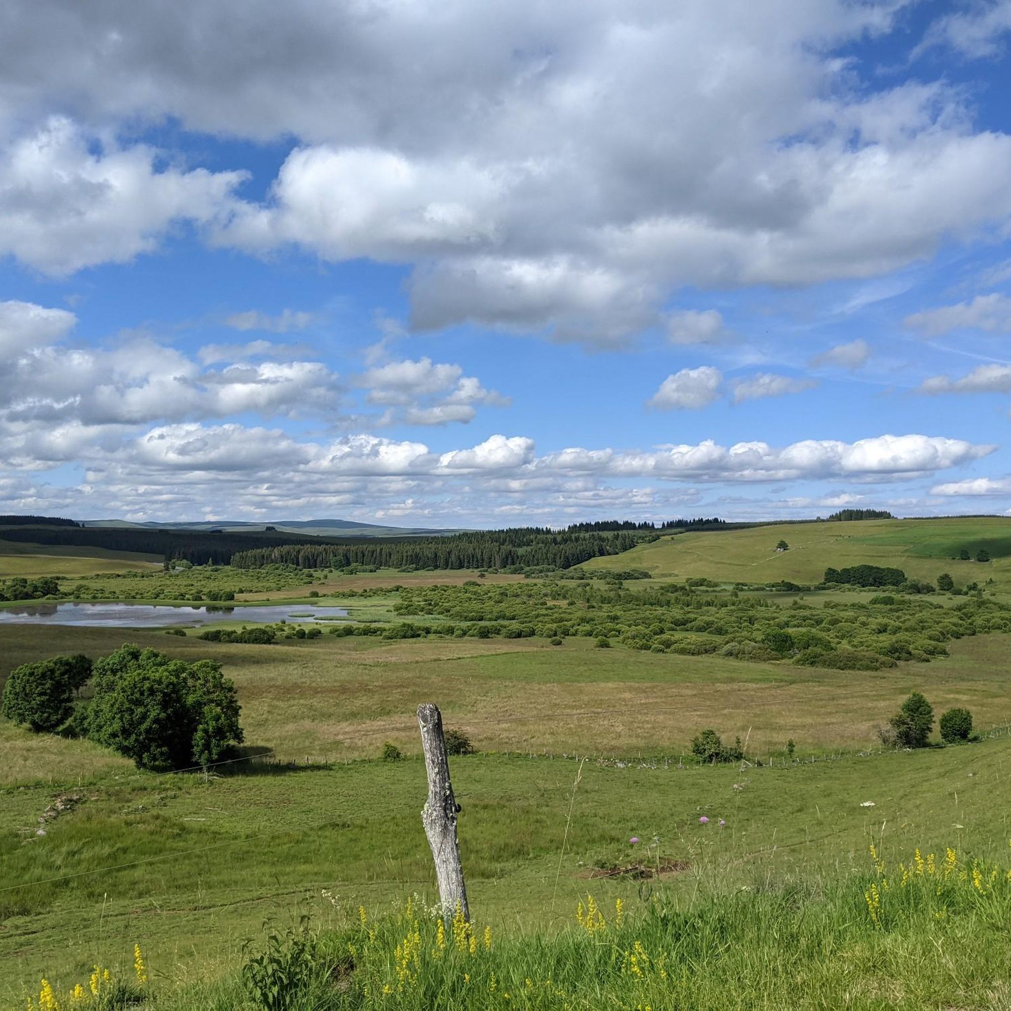
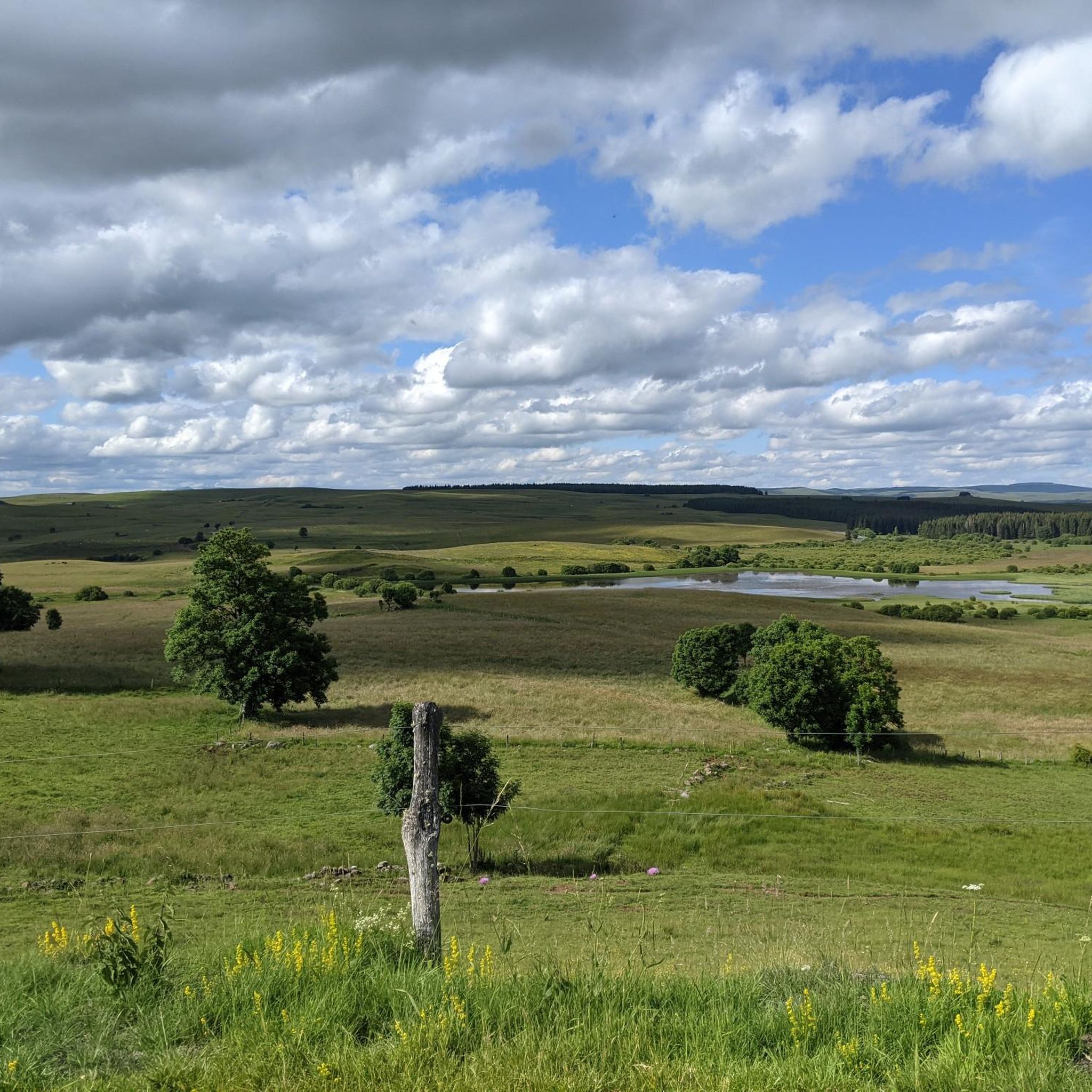
Road cycling routes around Ségur-Les-Villas are situated at the confluence of the Monts du Cantal and Le Cézallier massifs, offering varied terrain. The region's altitude ranges from 960 to 1,289 meters within the commune, providing climbs and descents. This area is part of the Auvergne Volcanoes Regional Natural Park, characterized by volcanic landscapes, mountain pastures, and forests. The Santoire River also flows through the area, contributing to the diverse topography.
Best road cycling routes around Ségur-Les-Villas
- The most popular road…
Last updated: May 18, 2026
5.0
(2)
49
riders
60.7km
02:58
920m
930m
This difficult 37.7-mile (60.7 km) road cycling loop in the Parc naturel régional des Volcans d'Auvergne features high mountain passes.
8
riders
51.7km
02:38
880m
880m
Cycle a moderate 32.1-mile loop over Col de Montirargues and Col d'Entremont, enjoying Monts du Cantal views in Auvergne Volcanoes Park.

Sign up for free
5.0
(3)
40
riders
74.3km
03:45
1,190m
1,190m
Hard road ride. Very good fitness required. Mostly well-paved surfaces and easy to ride.
5.0
(2)
41
riders
69.2km
03:32
1,200m
1,200m
Hard road ride. Very good fitness required. Mostly well-paved surfaces and easy to ride.
5.0
(1)
33
riders
51.7km
03:01
1,210m
1,210m
Hard road ride. Very good fitness required. Some segments of this route may be unpaved and difficult to ride.
Get access to more routes and recommendations from other explorers.
Sign up for free
Already have an account?
Our route recommendations are based on thousands of hikes, rides, and runs completed by other people on komoot.
Start today with a free account
Your next adventure awaits.
Login or Signup

Tips from the Community

very pretty pass typical of Cezallier
1
0
Pleasant and fairly easy. Beautiful route.
0
0

Not too difficult, I did it on a mountain bike.
0
0

A beautiful, partly shady climb from Claux to the pass. Then the real challenge begins at Puy Mary.
0
0


The route takes you through incredibly beautiful scenery as you head up the valley.
1
0

This pass is rather easy if we compare it with what awaits us, the Puy Mary
1
0
Frequently Asked Questions
What kind of terrain can I expect when road cycling in Ségur-Les-Villas?
Ségur-Les-Villas is situated at the confluence of the Monts du Cantal and Le Cézallier massifs, offering a diverse and engaging landscape for road cyclists. You'll encounter varied terrain with altitudes ranging from 960 to 1,289 meters within the commune, providing both challenging climbs and rewarding descents. The region is part of the Auvergne Volcanoes Regional Natural Park, characterized by its unique volcanic landscapes, expansive mountain pastures, and dense forests. The Santoire River also flows through the area, adding to the scenic diversity.
Are there road cycling routes suitable for beginners or those looking for an easier ride?
Yes, while the region is known for its challenging climbs, there are options for various ability levels. Out of approximately 80 road cycling routes, 3 are classified as easy, and 34 are moderate. These routes offer a less strenuous experience while still allowing you to enjoy the beautiful landscapes of the Monts du Cantal and Le Cézallier.
What are some of the most challenging road cycling routes in the area?
For experienced riders seeking a challenge, Ségur-Les-Villas offers 43 difficult routes. One such route is the Pas de Peyrol Pass (1,589 m) – Ascent to Pas de Peyrol loop from Dienne, which covers 51.2 km with significant elevation gain, providing a demanding ride through the volcanic landscape.
What natural features or landmarks can I see along the road cycling routes?
The region is rich in natural beauty and notable landmarks. You might encounter the stunning Cascade des Veyrines, a beautiful waterfall interrupting the plateaus of Le Cézallier. The scenic Route du Jolan offers breathtaking vistas of the Monts du Cantal and the Jolan peat bogs. Additionally, the area is home to the Le Jolan and La Gazelle Peat Bogs, a Regional Nature Reserve known for its unique flora and fauna.
Are there any interesting towns or villages to visit near the cycling routes?
Absolutely. The nearby town of Murat is a charming hub with artisan shops and a wildlife museum. It's surrounded by smaller volcanic mountains like the Rocher de Bonnevie and the Roche de Bredon, which hosts a Romanesque chapel. These offer great opportunities for exploration off the bike.
What do other road cyclists enjoy the most about road cycling in Ségur-Les-Villas?
The area is highly rated by the komoot community, with an average score of 4.7 stars from over 60 reviews. Cyclists often praise the diverse volcanic landscapes, the challenging yet rewarding climbs, and the panoramic views over the valleys and the Monts du Cantal. The variety of routes, from moderate loops to difficult ascents, is also frequently highlighted.
Can I find circular road cycling routes around Ségur-Les-Villas?
Yes, many of the road cycling routes in the region are designed as loops, allowing you to start and finish in the same location. For example, the Forêt de la Pinatelle – La Roche aux Fruits loop from Réserve naturelle des tourbières du Jolan et de la Gazelle is a moderate 36.4 km circular route that takes you through varied scenery.
Are there any lakes or water-based attractions accessible by road bike?
While not directly on all road cycling routes, the region features several beautiful lakes. Lac de Lastioulles, about 22 km from Ségur-Les-Villas, offers various water activities. You can also find highlights like Lake du Pêcher and Lac des Cascades, which can be incorporated into longer rides or visited as side trips.
What is the best time of year for road cycling in Ségur-Les-Villas?
Given the region's altitude and mountainous terrain, the warmer months, typically from late spring to early autumn, are generally the most favorable for road cycling. During this period, you can expect more stable weather conditions and full access to all routes, allowing you to fully enjoy the splendid views and diverse landscapes.
Where can I find panoramic viewpoints along the road cycling routes?
The region is renowned for its panoramic views. The Chapel of Notre Dame de Valentine, perched on a rocky pinnacle, offers an exceptional vista over the Santoire valley and the Limon plateau. Many routes, especially those ascending into the Monts du Cantal, provide numerous opportunities for breathtaking scenic stops, showcasing the vastness of the Auvergne Volcanoes Regional Natural Park.
Most popular routes around Ségur-Les-Villas
Most popular attractions around Ségur-Les-Villas

Get inspired with the komoot mobile app


Explore more
Browse the best Road cycling routes in other regions.
