The best walks and hikes around Montferrier
4.6
(294)
2,231
hikers
35
hikes
Hiking around Montferrier offers access to the dramatic Pyrenean terrain of the Ariège department, characterized by mountainous landscapes and diverse trails. The region features prominent peaks like the Massif de Tabe, including Pic de Saint-Barthélemy, and picturesque lakes such as Étang de Moulzoune and Étang d'Appy. Deep gorges like the Gorges de la Frau, carved by the Èrç river, add to the varied natural environment. Trails wind through forests, across ridges, and past historical sites, providing a range of experiences.
…Last updated: September 1, 2026
4.9
(16)
174
hikers
14.9km
06:26
950m
950m
Hard hike. Very good fitness required. Sure-footedness, sturdy shoes and alpine experience required.
5.0
(29)
261
hikers
10.1km
04:30
720m
720m
Hard hike. Good fitness required. Sure-footedness, sturdy shoes and alpine experience required.

Sign up for free
4.4
(26)
146
hikers
22.6km
07:21
1,020m
1,020m
Hard hike. Very good fitness required. Mostly accessible paths. Sure-footedness required.
5.0
(3)
49
hikers
8.81km
03:23
520m
520m
Moderate hike. Good fitness required. Mostly accessible paths. Sure-footedness required.
5.0
(7)
57
hikers
7.67km
02:50
380m
380m
Moderate hike. Good fitness required. Mostly accessible paths. Sure-footedness required.
Get access to more routes and recommendations from other explorers.
Sign up for free
Already have an account?
Our route recommendations are based on thousands of hikes, rides, and runs completed by other people on komoot.
Start today with a free account
Your next adventure awaits.
Login or Signup
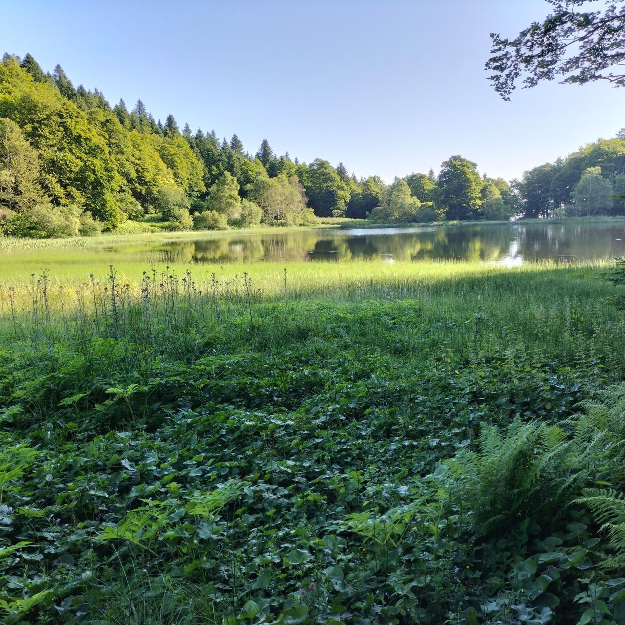
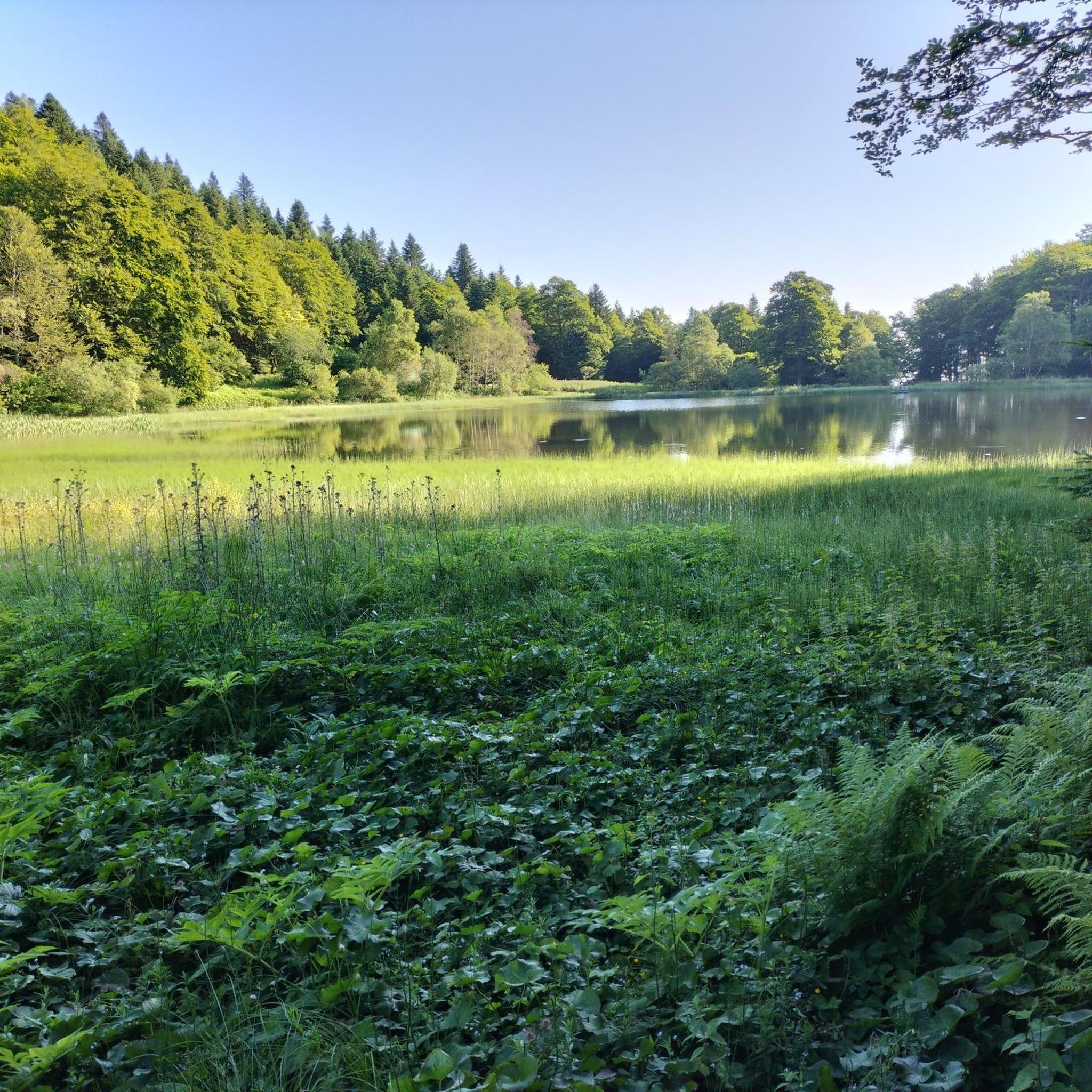
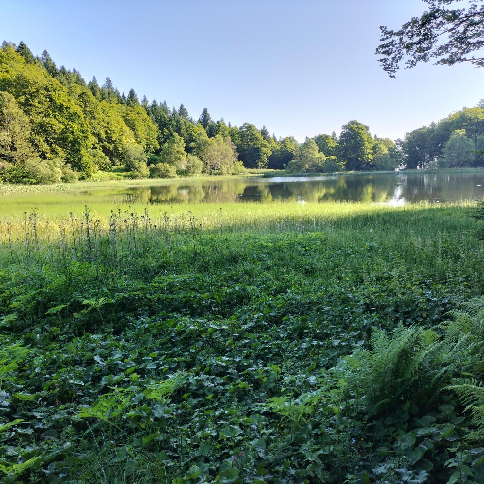
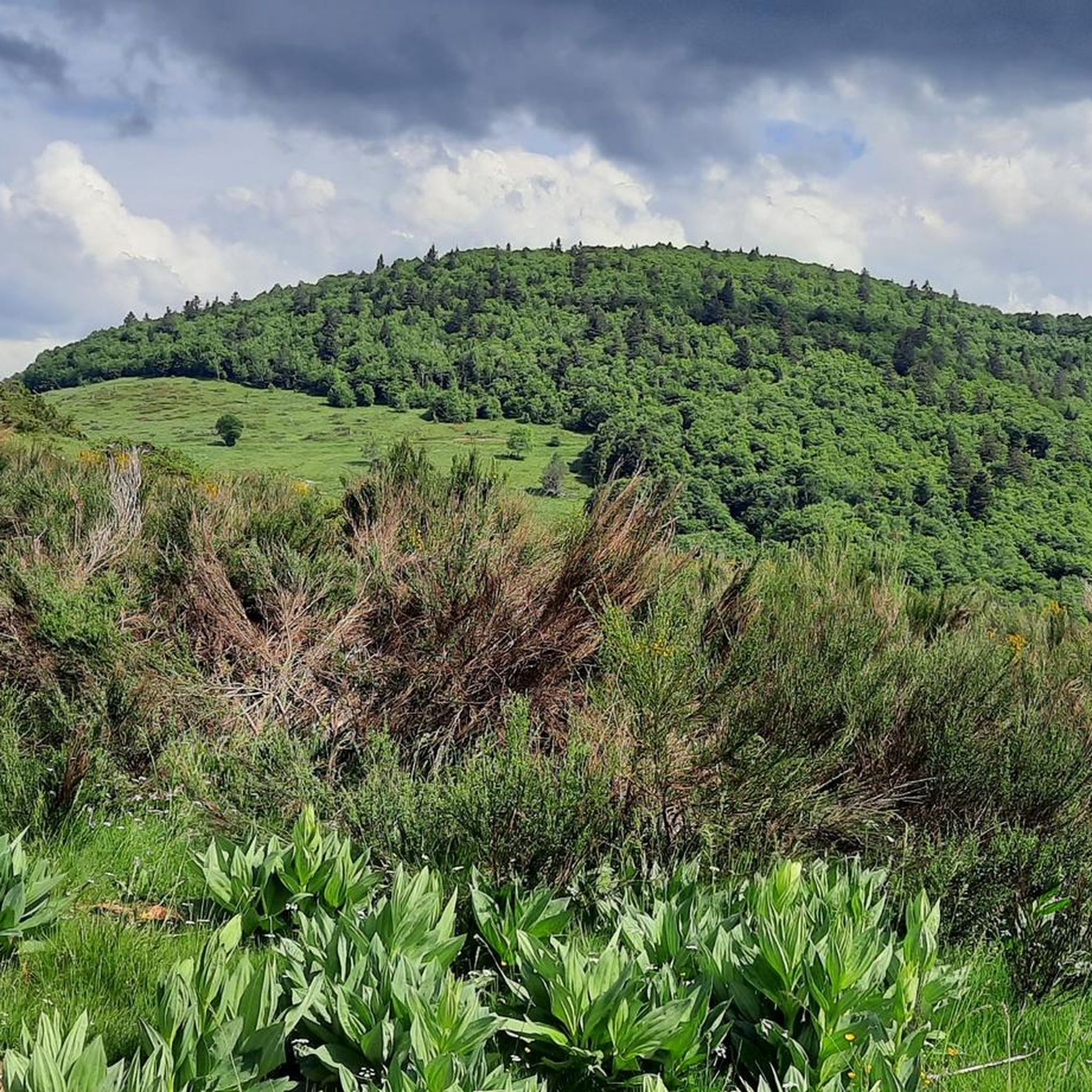

Tips from the Community

The most distinctive feature in the design of Celtic crosses is the surrounding circle that connects the crossbars and the vertical beams. This circle is sometimes interpreted as a symbol for the sun; in accordance with this symbolism, Celtic crosses are sometimes also referred to as sun crosses. I found the following meditative reflection on this topic in the hospital chaplaincy of the Protestant deanery of Nassauer Land: "The sun cross is a special symbol of Celtic Christianity. It can become a symbol for spirituality. + What you can practice – the horizontal arm of the cross. Your conscious rituals, prayers, and moments of silence. The attention you give to the sacred. + What happens to you – the vertical arm of the cross. Experiences that touch and transform you. Moments in which you sense something greater than yourself. + What gives you meaning – the circle that encompasses both. Words, stories, and traditions that help to understand and share these experiences. Spirituality connects you with sources of strength that reach deeper than what you can see. For me, as a Christian, spirituality is a word for encountering the God who revealed himself in Jesus."
0
0
In the Way of the Cross meditation written by Pope Francis – on Good Friday 2025 in the Roman Colosseum – the Holy Father, who died a few days later (Easter Monday), invited us to allow ourselves to be contemplated by the crucified love of Jesus: + "Our darkness seeks the light. (...) now [the crowd] encounters the spectacle of a love never before seen, a beauty that moves them to rethink. To those who see you dying, Lord, you give the opportunity to beat their breasts and turn around, to beat their hearts so that their hardness may be broken. Jesus, grant us, who often still observe you from afar, that we may always remember you in our lives, so that even death, one day when you come, may find us alive." (Pope Francis)
0
0

A must-see in Ariège that you should do at least once in your life. The view of the various mountain ranges is splendid.
0
0
A magnificent location offering stunning views of the Ariège Pyrenees: the Montcalm Massif, the Bassiès Massif, the Beille Plateau, and more. Easily accessible from Croquié in both summer and winter, provided you're well-equipped and at least a little fit (800m+). Its only drawback: it's very crowded, especially in winter.
1
1

Be careful, expert route but what a view
0
0

Possibility of bivouac and magnificent natural spectacle by numerous griffon vultures
2
2

A beautiful wayside cross, beautifully decorated with flowers during our visit; perhaps because it was two days after the summer solstice, which is said to be a very special experience here...
0
0
Frequently Asked Questions
What types of hiking trails can I expect around Montferrier?
Montferrier offers a diverse range of hiking experiences within the dramatic Pyrenean terrain of the Ariège department. You'll find trails winding through dense forests, across open grassy ridges, and past significant historical sites. The landscape is characterized by deep, steep valleys and jagged ridges, providing varied scenery from moderate walks to strenuous long-distance treks.
Are there any easy or moderate hiking options in Montferrier?
Yes, Montferrier caters to various fitness levels. While many trails are challenging, there are 8 easy and 14 moderate routes available. For a moderate option, consider the Mount Fourcat loop from Les Monts d'Olmes, which offers rewarding views without the extreme difficulty of some higher peaks.
Can I find circular hiking routes in the Montferrier area?
Yes, many of the trails around Montferrier are designed as loops, allowing you to start and end at the same point. Examples include the challenging View of Étang d'Appy – Appy Pond loop from Les Monts d'Olmes or the moderate Shepherd's Hut – Cabane du Taulat loop from SN 1678.
Are there any waterfalls to see on hikes near Montferrier?
Yes, the region boasts natural wonders like the Roquefort-les-Cascades Waterfalls, which are particularly impressive after rainfall. These can be a beautiful highlight to incorporate into your hiking plans.
What historical sites can I explore while hiking in Montferrier?
Montferrier is rich in history, notably with the famous Cathar castle of Montségur. You can hike to this iconic site, for example, via the Montségur – Celtic cross loop from Le Carrial. The area is also part of longer historical routes like the 'Camí dels Bons Homes' (GR-107) and the Cathar Trail (GR®367).
Are there any scenic viewpoints or natural monuments to visit?
Absolutely. The region offers breathtaking panoramic views from peaks like Pic de Saint-Barthélemy. You can also explore natural monuments such as the impressive Gorges de la Frau, a three-kilometer-long gorge carved by the Èrç river, or the unique Fontestorbes Spring.
What do other hikers say about the trails around Montferrier?
The hiking trails around Montferrier are highly regarded by the komoot community, with an average rating of 4.6 stars from over 250 reviews. Hikers often praise the magnificent views from peaks like Pic Saint-Barthélemy and the serene natural settings around lakes such as Étang d'Appy.
Are there any lakes accessible via hiking trails in Montferrier?
Yes, the region features picturesque lakes that are often integrated into hiking routes. Notable examples include Étang de Moulzoune and Étang d'Appy, which offer serene natural settings and serve as scenic stops. The Pic Saint Barthélemy hike, for instance, starts from the Moulzoune lake car park.
Is it possible to reach hiking trailheads in Montferrier by public transport?
While specific public transport options to every trailhead can vary, Montferrier is located in the Ariège department, which has some regional bus services. For detailed information on bus routes and schedules to specific starting points, it's advisable to check local transport authority websites or inquire locally before your trip.
Are there good parking facilities near the hiking trails in Montferrier?
Many popular trailheads, especially those leading to significant peaks or lakes, typically have designated parking areas. For example, the hike to Pic Saint Barthélemy often starts from the Moulzoune lake car park. It's always a good idea to check the specific route details on komoot for parking information at your chosen starting point.
What is the best time of year to go hiking in Montferrier?
The best time to hike in Montferrier generally depends on the altitude and difficulty of the chosen trail. Spring and autumn offer pleasant temperatures and vibrant scenery, while summer is ideal for higher altitude treks. Winter hiking is possible but requires appropriate gear and experience due to snow and ice conditions in the Pyrenees.
Are there any long-distance hiking routes that pass through or near Montferrier?
Yes, Montferrier is situated near significant long-distance hiking routes. The challenging 'Camí dels Bons Homes' (GR-107) traverses the Pyrenees, and the Cathar Trail (GR®367) connects Port la Nouvelle to Foix, offering moderate to difficult sections in the Ariège region. These trails provide opportunities for multi-day adventures.
Most popular routes around Montferrier
Most popular attractions around Montferrier

Get inspired with the komoot mobile app


Explore more
Browse the best Hikes in other regions.
